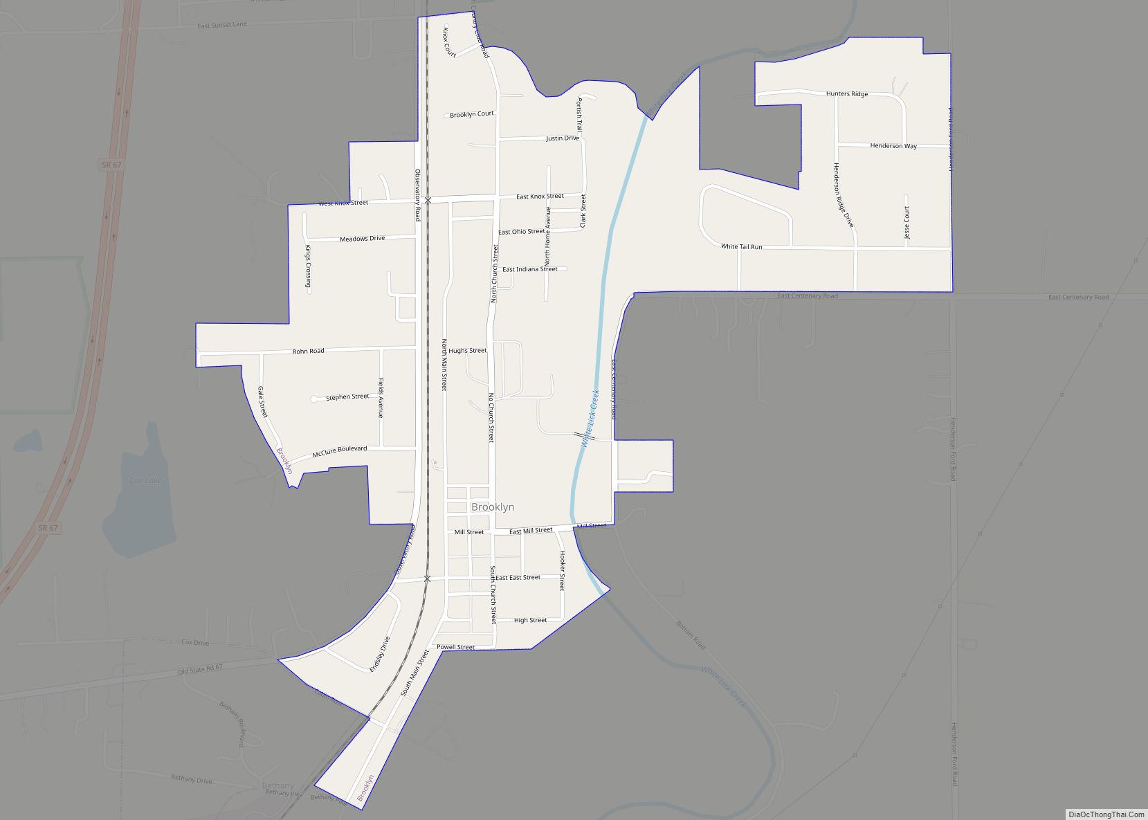
Brooklyn is a town in Clay and Brown townships, Morgan County, Indiana, United States. The population was 2,511 at the 2020 census, up from 1,598 in 2010.
| Name: | Brooklyn town |
|---|---|
| LSAD Code: | 43 |
| LSAD Description: | town (suffix) |
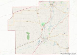
| State: | Indiana |
| County: | Morgan County |
| Elevation: | 669 ft (204 m) |
| Total Area: | 1.00 sq mi (2.60 km²) |
| Land Area: | 0.99 sq mi (2.56 km²) |
| Water Area: | 0.01 sq mi (0.03 km²) |
| Total Population: | 2,511 |
| Population Density: | 2,536.36/sq mi (979.67/km²) |
| ZIP code: | 46111 (Brooklyn) 46158 (Mooresville) |
| Area code: | 317, 463 |
| FIPS code: | 1808038 |
Online Interactive Map
Click on ![]() to view map in "full screen" mode.
to view map in "full screen" mode.
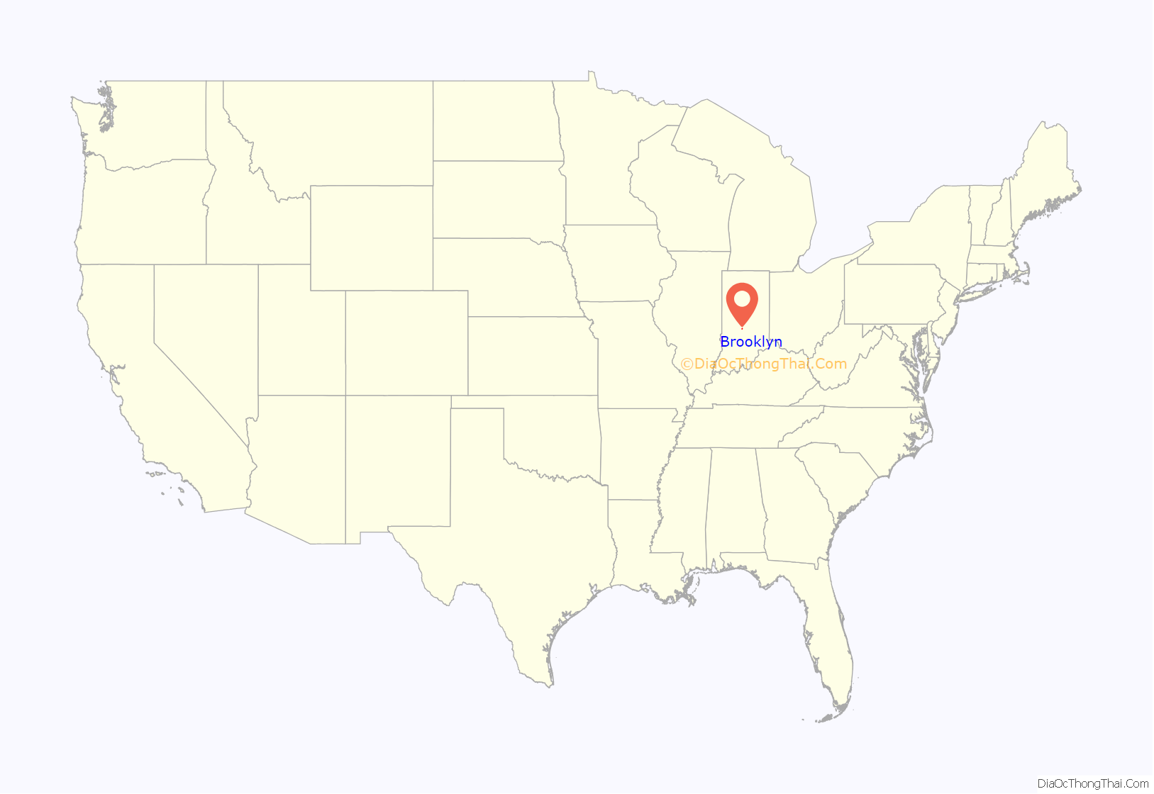
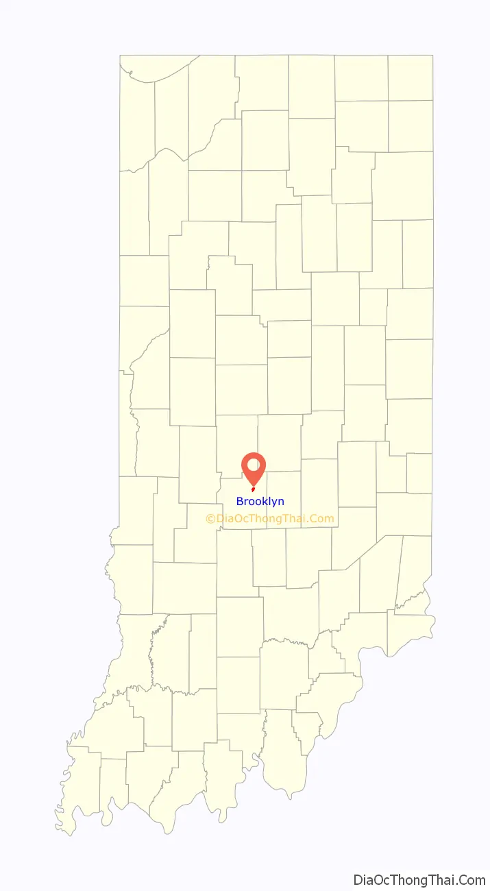
Brooklyn location map. Where is Brooklyn town?
History
Brooklyn was laid out in 1854, at about the time the railroad was extended to that point. The town probably took its name after Brooklyn, New York. A post office has been in operation at Brooklyn since 1856.
The Franklin Landers-Black and Adams Farm was listed on the National Register of Historic Places in 2000.
Brooklyn Road Map
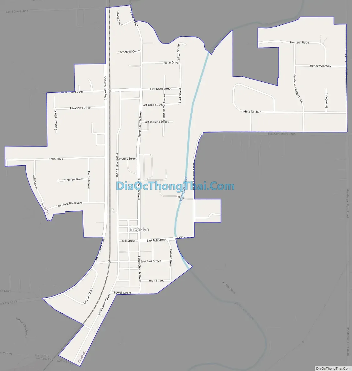
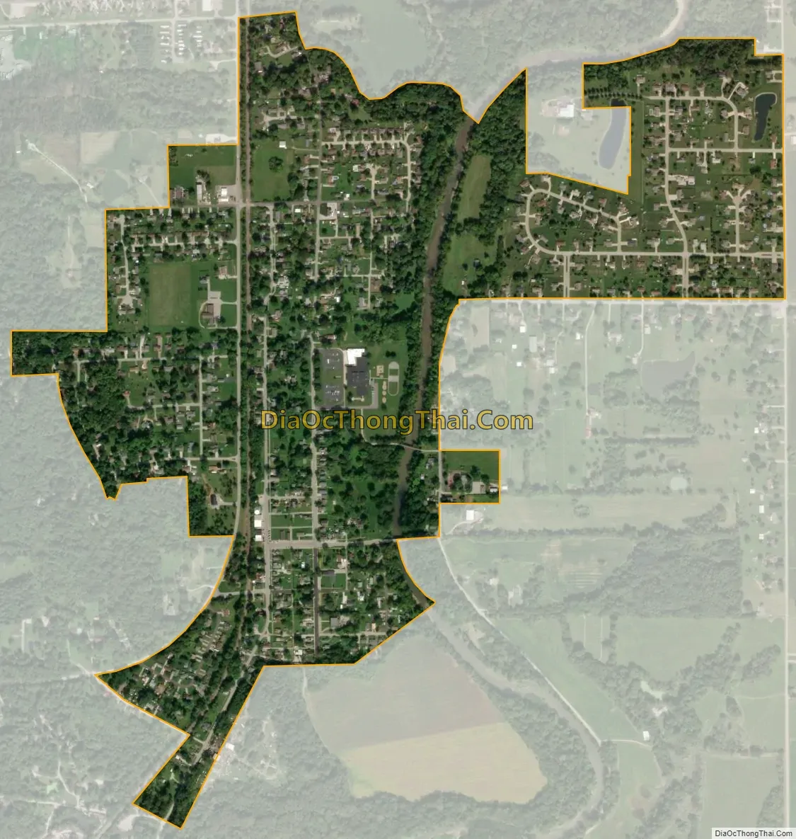
Brooklyn city Satellite Map
Geography
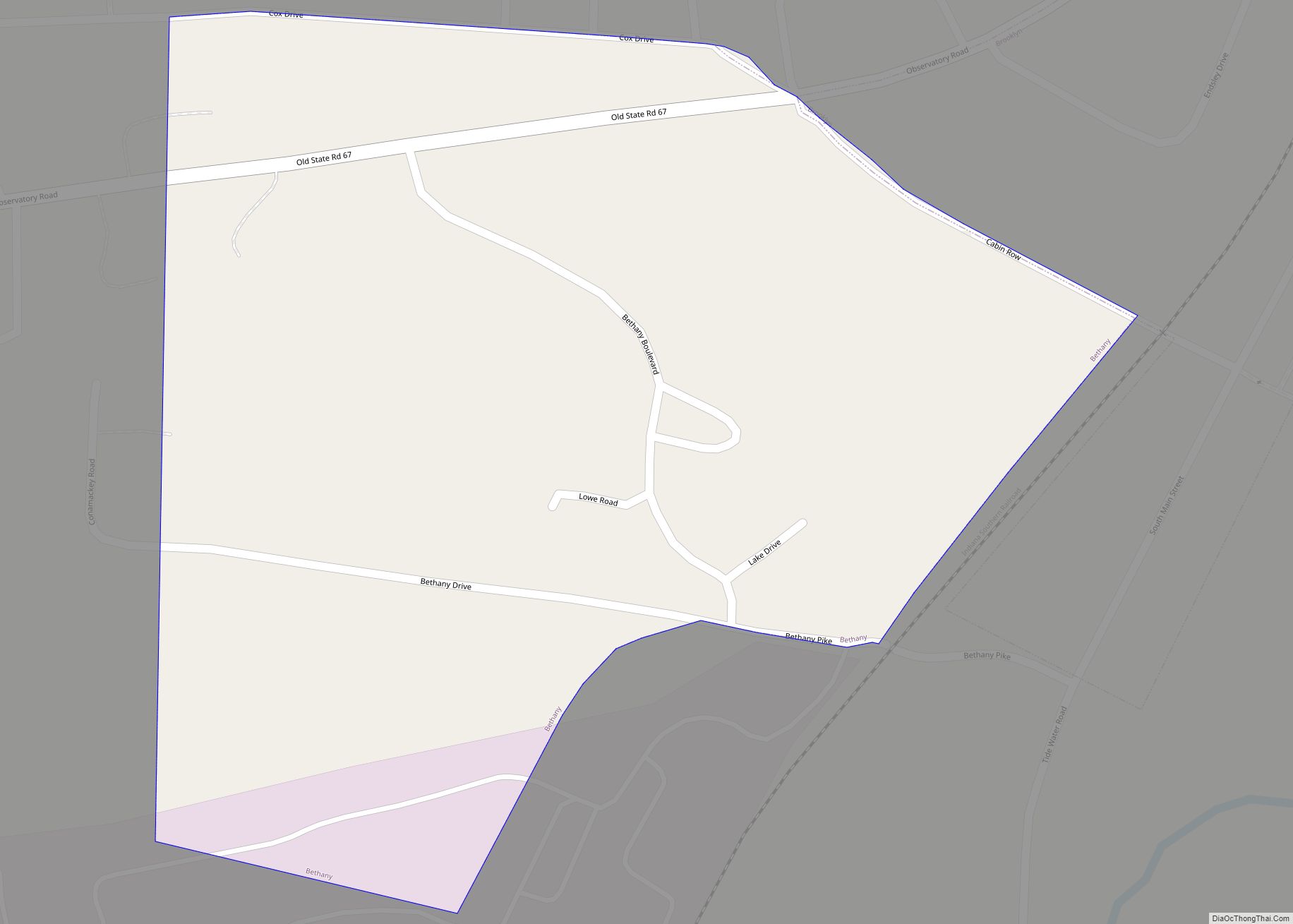
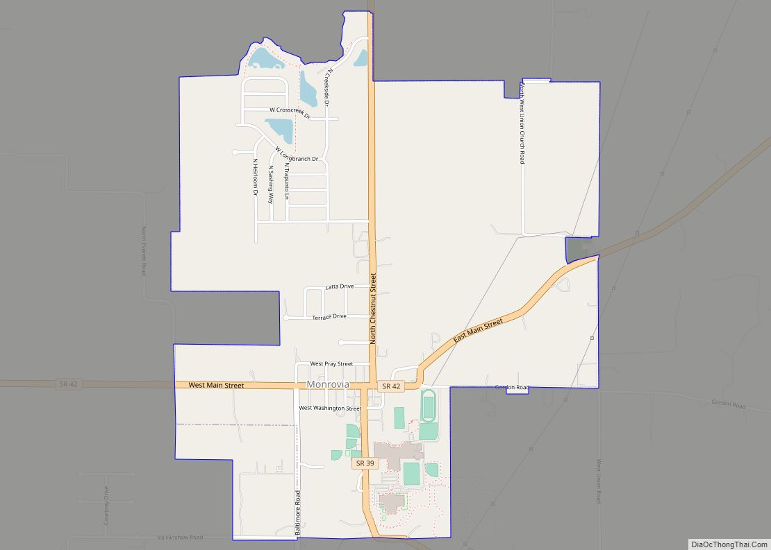
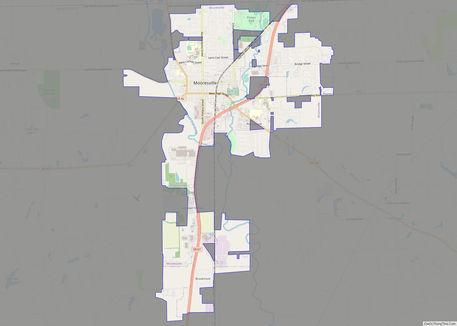
Brooklyn is located in northeastern Morgan County at 39°32′29″N 86°22′12″W / 39.54139°N 86.37000°W / 39.54139; -86.37000 (39.541391, -86.370021). It is bordered to the south by the town of Bethany, and the town of Mooresville is 5 miles (8 km) to the north. Downtown Indianapolis is 21 miles (34 km) to the northeast.
According to the U.S. Census Bureau, Brooklyn has a total area of 1.00 square mile (2.59 km), of which 0.01 square miles (0.03 km), or 1.30%, are water. White Lick Creek passes through the east side of the town, flowing south to join the White River south of Centerton.
See also
Map of Indiana State and its subdivision:- Adams
- Allen
- Bartholomew
- Benton
- Blackford
- Boone
- Brown
- Carroll
- Cass
- Clark
- Clay
- Clinton
- Crawford
- Daviess
- De Kalb
- Dearborn
- Decatur
- Delaware
- Dubois
- Elkhart
- Fayette
- Floyd
- Fountain
- Franklin
- Fulton
- Gibson
- Grant
- Greene
- Hamilton
- Hancock
- Harrison
- Hendricks
- Henry
- Howard
- Huntington
- Jackson
- Jasper
- Jay
- Jefferson
- Jennings
- Johnson
- Knox
- Kosciusko
- LaGrange
- Lake
- Lake Michigan
- LaPorte
- Lawrence
- Madison
- Marion
- Marshall
- Martin
- Miami
- Monroe
- Montgomery
- Morgan
- Newton
- Noble
- Ohio
- Orange
- Owen
- Parke
- Perry
- Pike
- Porter
- Posey
- Pulaski
- Putnam
- Randolph
- Ripley
- Rush
- Saint Joseph
- Scott
- Shelby
- Spencer
- Starke
- Steuben
- Sullivan
- Switzerland
- Tippecanoe
- Tipton
- Union
- Vanderburgh
- Vermillion
- Vigo
- Wabash
- Warren
- Warrick
- Washington
- Wayne
- Wells
- White
- Whitley
- Alabama
- Alaska
- Arizona
- Arkansas
- California
- Colorado
- Connecticut
- Delaware
- District of Columbia
- Florida
- Georgia
- Hawaii
- Idaho
- Illinois
- Indiana
- Iowa
- Kansas
- Kentucky
- Louisiana
- Maine
- Maryland
- Massachusetts
- Michigan
- Minnesota
- Mississippi
- Missouri
- Montana
- Nebraska
- Nevada
- New Hampshire
- New Jersey
- New Mexico
- New York
- North Carolina
- North Dakota
- Ohio
- Oklahoma
- Oregon
- Pennsylvania
- Rhode Island
- South Carolina
- South Dakota
- Tennessee
- Texas
- Utah
- Vermont
- Virginia
- Washington
- West Virginia
- Wisconsin
- Wyoming