Claypool is a town in Clay Township, Kosciusko County, in the U.S. state of Indiana. The population was 431 at the 2010 census.
| Name: | Claypool town |
|---|---|
| LSAD Code: | 43 |
| LSAD Description: | town (suffix) |
| State: | Indiana |
| County: | Kosciusko County |
| Elevation: | 889 ft (271 m) |
| Total Area: | 0.25 sq mi (0.65 km²) |
| Land Area: | 0.24 sq mi (0.63 km²) |
| Water Area: | 0.01 sq mi (0.02 km²) |
| Total Population: | 396 |
| Population Density: | 1,622.95/sq mi (626.32/km²) |
| ZIP code: | 46510 |
| Area code: | 574 |
| FIPS code: | 1813312 |
| GNISfeature ID: | 432596 |
| Website: | http://www.claypoolindiana.com |
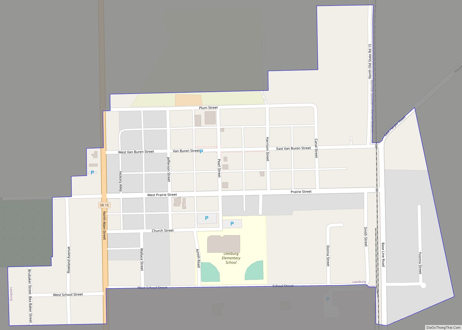
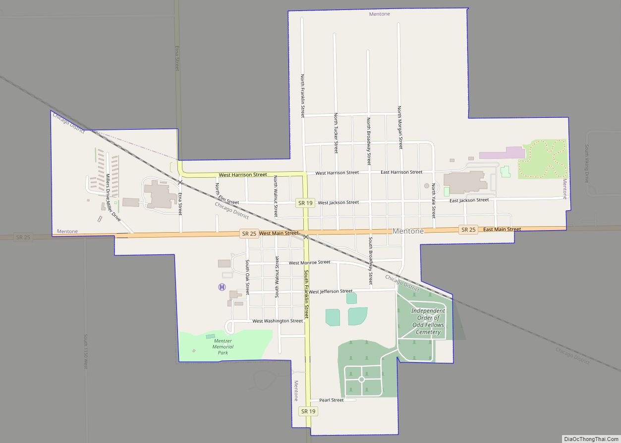
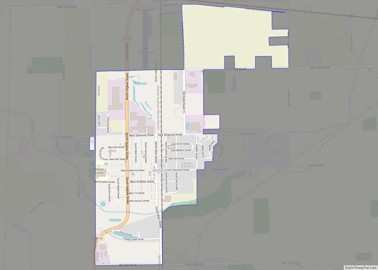
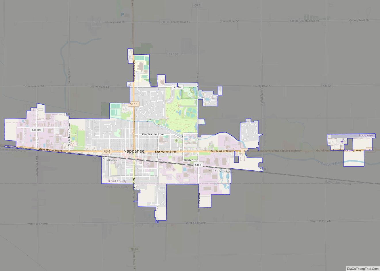
Online Interactive Map
Click on ![]() to view map in "full screen" mode.
to view map in "full screen" mode.
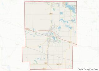
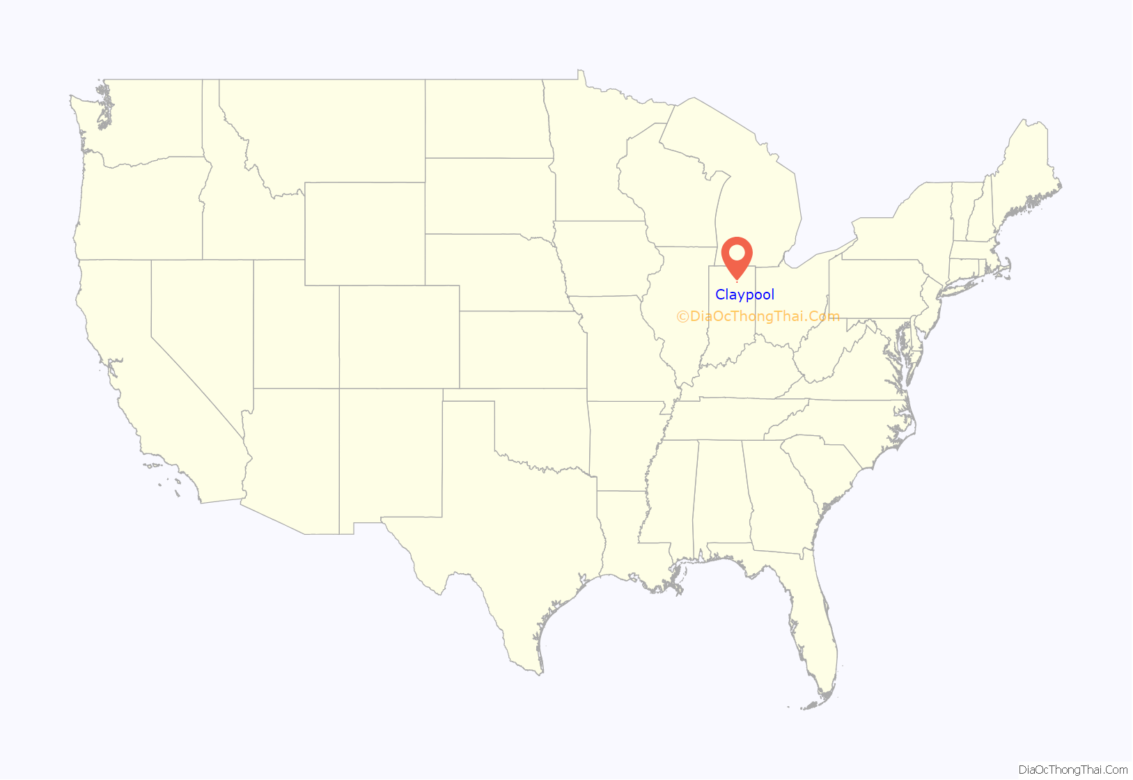
Claypool location map. Where is Claypool town?

History
Claypool was platted in 1873. The post office at Claypool has been in operation since 1841.
Claypool was previously an important rail transportation hub because it was located at the junction of the Big Four and the Nickel Plate railroad lines.
One of Claypool’s claims to fame is the fact that it is the hometown of two of Indiana’s basketball greats, Judi Warren, who became the first Indiana Miss Basketball in 1976, and Kevin Ault, Indiana Mr. Basketball of 1996. Both played for Warsaw Community High School. Judi Warren was inducted into the Indiana Basketball Hall of Fame in 2002.
A more controversial claim to fame was the local house church established for a time in the 1970s by Hobart Freeman.
Claypool was featured in an article in Time magazine in its September 8, 1980, issue.
In 2006 Claypool was selected by Louis Dreyfus Agriculture Industries, a French Corporation, as the location for a new biodiesel manufacturing plant. When completed, it will be the largest biodiesel manufacturing plant in the state. Crushing and flaking equipment from Damman-Croes Belgium has been selected.
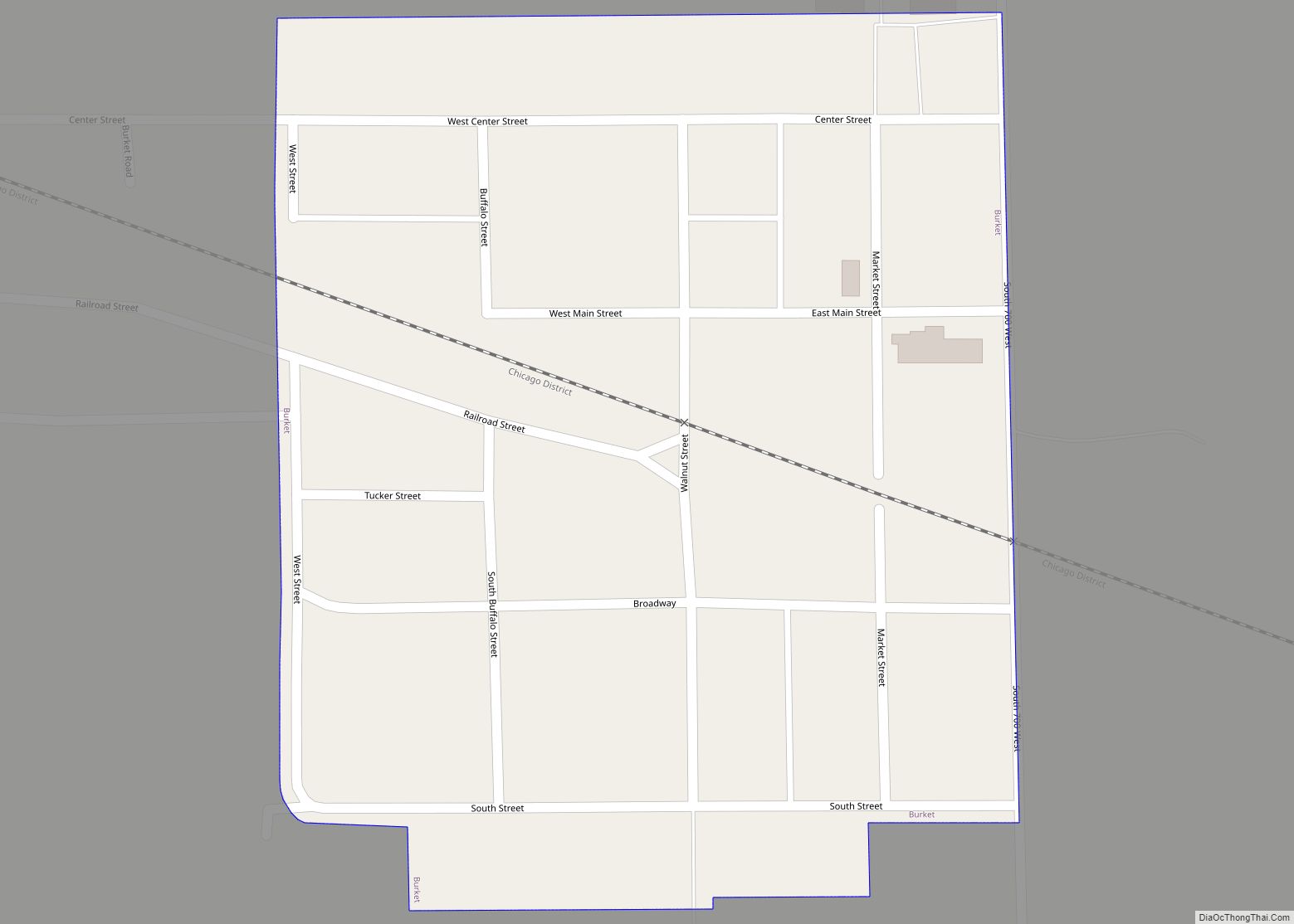
Claypool Road Map
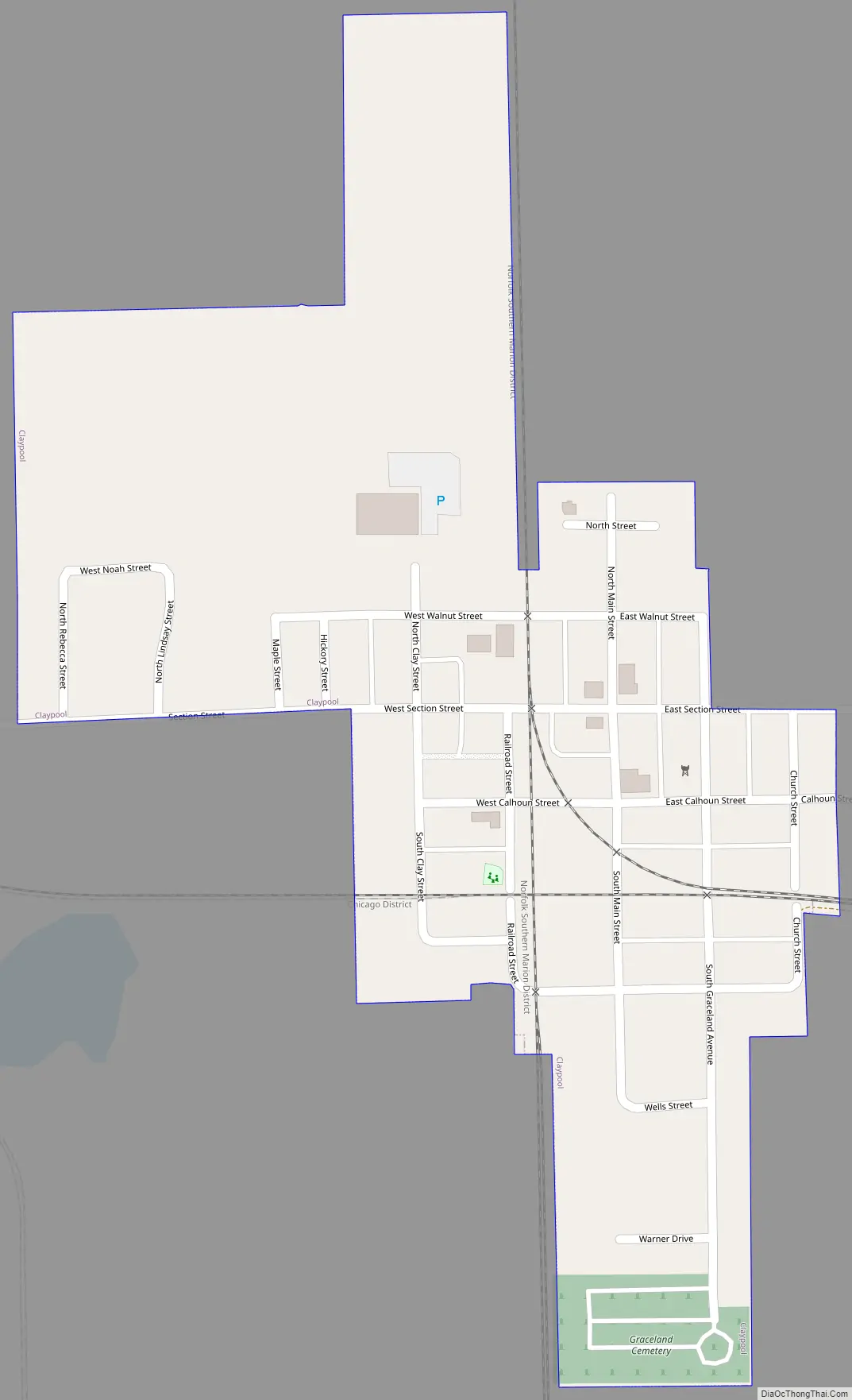
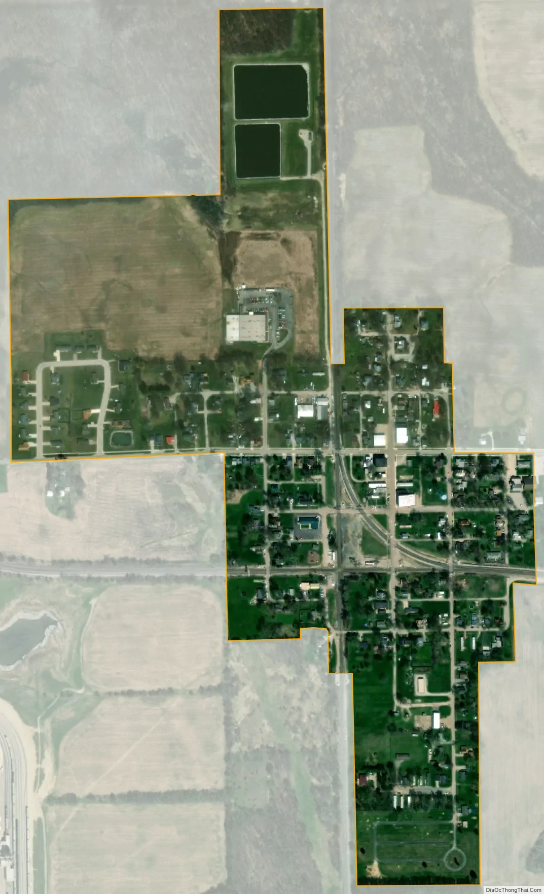
Claypool city Satellite Map
Geography
Claypool is located at 41°7′44″N 85°52′51″W / 41.12889°N 85.88083°W / 41.12889; -85.88083 (41.128829, -85.880876).
According to the 2010 census, Claypool has a total area of 0.25 square miles (0.65 km), of which 0.24 square miles (0.62 km) (or 96%) is land and 0.01 square miles (0.03 km) (or 4%) is water.
See also
Map of Indiana State and its subdivision:- Adams
- Allen
- Bartholomew
- Benton
- Blackford
- Boone
- Brown
- Carroll
- Cass
- Clark
- Clay
- Clinton
- Crawford
- Daviess
- De Kalb
- Dearborn
- Decatur
- Delaware
- Dubois
- Elkhart
- Fayette
- Floyd
- Fountain
- Franklin
- Fulton
- Gibson
- Grant
- Greene
- Hamilton
- Hancock
- Harrison
- Hendricks
- Henry
- Howard
- Huntington
- Jackson
- Jasper
- Jay
- Jefferson
- Jennings
- Johnson
- Knox
- Kosciusko
- LaGrange
- Lake
- Lake Michigan
- LaPorte
- Lawrence
- Madison
- Marion
- Marshall
- Martin
- Miami
- Monroe
- Montgomery
- Morgan
- Newton
- Noble
- Ohio
- Orange
- Owen
- Parke
- Perry
- Pike
- Porter
- Posey
- Pulaski
- Putnam
- Randolph
- Ripley
- Rush
- Saint Joseph
- Scott
- Shelby
- Spencer
- Starke
- Steuben
- Sullivan
- Switzerland
- Tippecanoe
- Tipton
- Union
- Vanderburgh
- Vermillion
- Vigo
- Wabash
- Warren
- Warrick
- Washington
- Wayne
- Wells
- White
- Whitley
- Alabama
- Alaska
- Arizona
- Arkansas
- California
- Colorado
- Connecticut
- Delaware
- District of Columbia
- Florida
- Georgia
- Hawaii
- Idaho
- Illinois
- Indiana
- Iowa
- Kansas
- Kentucky
- Louisiana
- Maine
- Maryland
- Massachusetts
- Michigan
- Minnesota
- Mississippi
- Missouri
- Montana
- Nebraska
- Nevada
- New Hampshire
- New Jersey
- New Mexico
- New York
- North Carolina
- North Dakota
- Ohio
- Oklahoma
- Oregon
- Pennsylvania
- Rhode Island
- South Carolina
- South Dakota
- Tennessee
- Texas
- Utah
- Vermont
- Virginia
- Washington
- West Virginia
- Wisconsin
- Wyoming