Cloverdale is a town in Cloverdale and Warren townships, Putnam County, in the U.S. state of Indiana. The population was 2,172 at the 2010 census.
| Name: | Cloverdale town |
|---|---|
| LSAD Code: | 43 |
| LSAD Description: | town (suffix) |
| State: | Indiana |
| County: | Putnam County |
| Elevation: | 820 ft (250 m) |
| Total Area: | 3.55 sq mi (9.20 km²) |
| Land Area: | 3.49 sq mi (9.03 km²) |
| Water Area: | 0.06 sq mi (0.17 km²) |
| Total Population: | 2,060 |
| Population Density: | 590.60/sq mi (228.03/km²) |
| ZIP code: | 46120 |
| Area code: | 765 |
| FIPS code: | 1813852 |
| GNISfeature ID: | 432688 |
| Website: | https://www.cloverdalein.com/home.html |
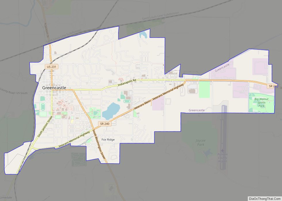
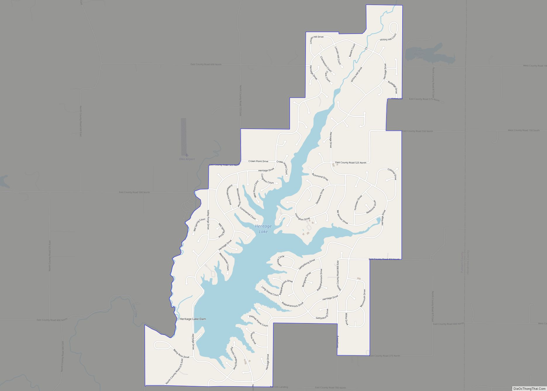
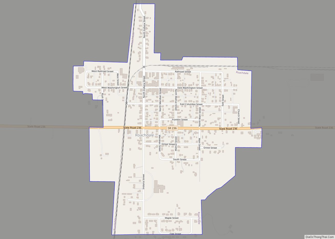
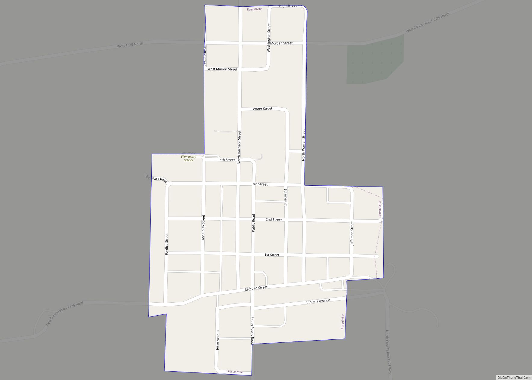
Online Interactive Map
Click on ![]() to view map in "full screen" mode.
to view map in "full screen" mode.
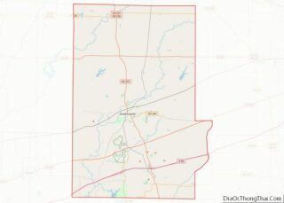
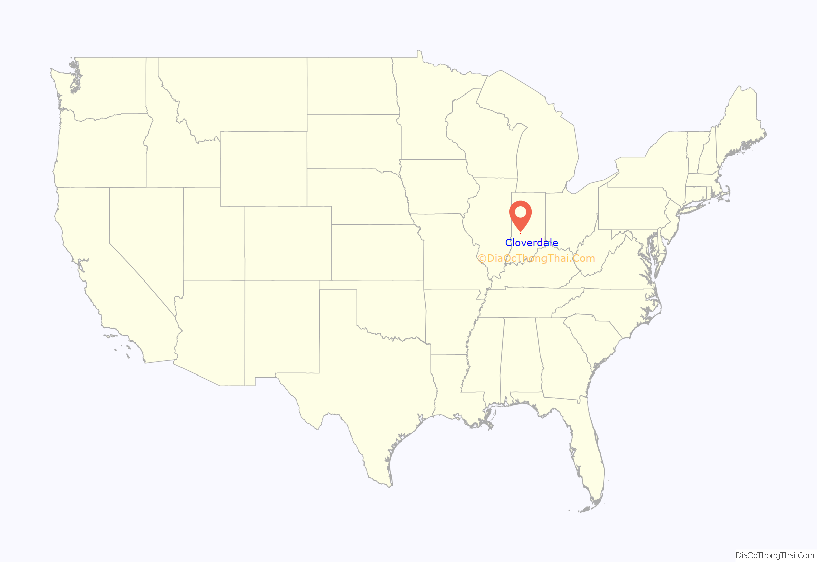
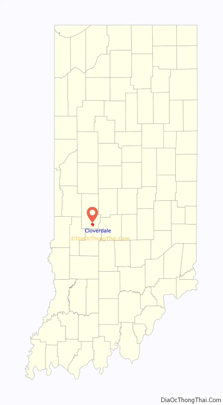
Cloverdale location map. Where is Cloverdale town?
History
Cloverdale was laid out in 1839. The town was so named on account of the abundance of clover and dales near the original town site. A post office has been in operation at Cloverdale since 1836.
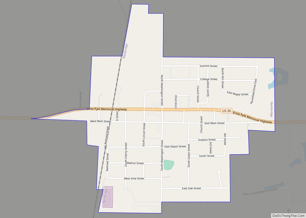
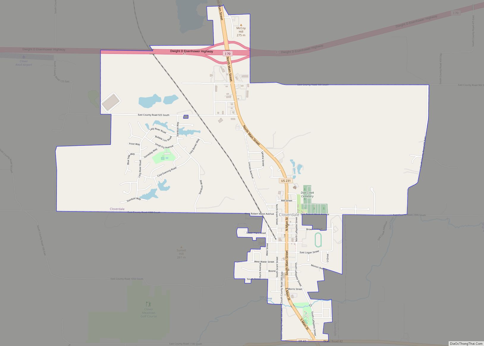
Cloverdale Road Map
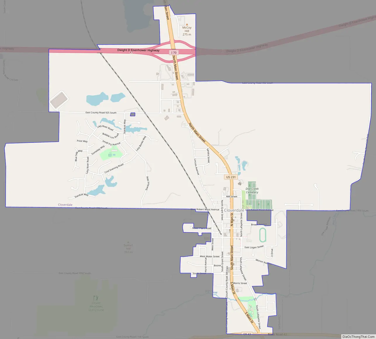
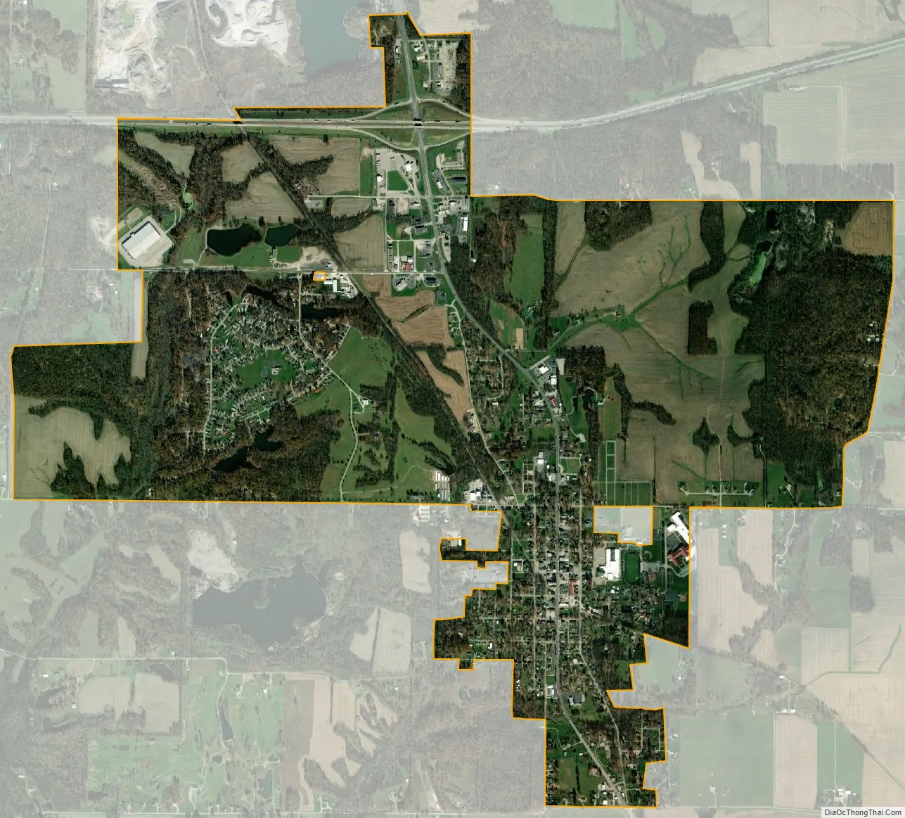
Cloverdale city Satellite Map
Geography
Cloverdale is located at 39°30′55″N 86°48′9″W / 39.51528°N 86.80250°W / 39.51528; -86.80250 (39.515345, -86.802559).
According to the 2010 census, Cloverdale has a total area of 3.52 square miles (9.12 km), of which 3.46 square miles (8.96 km) (or 98.3%) is land and 0.06 square miles (0.16 km) (or 1.7%) is water.
See also
Map of Indiana State and its subdivision:- Adams
- Allen
- Bartholomew
- Benton
- Blackford
- Boone
- Brown
- Carroll
- Cass
- Clark
- Clay
- Clinton
- Crawford
- Daviess
- De Kalb
- Dearborn
- Decatur
- Delaware
- Dubois
- Elkhart
- Fayette
- Floyd
- Fountain
- Franklin
- Fulton
- Gibson
- Grant
- Greene
- Hamilton
- Hancock
- Harrison
- Hendricks
- Henry
- Howard
- Huntington
- Jackson
- Jasper
- Jay
- Jefferson
- Jennings
- Johnson
- Knox
- Kosciusko
- LaGrange
- Lake
- Lake Michigan
- LaPorte
- Lawrence
- Madison
- Marion
- Marshall
- Martin
- Miami
- Monroe
- Montgomery
- Morgan
- Newton
- Noble
- Ohio
- Orange
- Owen
- Parke
- Perry
- Pike
- Porter
- Posey
- Pulaski
- Putnam
- Randolph
- Ripley
- Rush
- Saint Joseph
- Scott
- Shelby
- Spencer
- Starke
- Steuben
- Sullivan
- Switzerland
- Tippecanoe
- Tipton
- Union
- Vanderburgh
- Vermillion
- Vigo
- Wabash
- Warren
- Warrick
- Washington
- Wayne
- Wells
- White
- Whitley
- Alabama
- Alaska
- Arizona
- Arkansas
- California
- Colorado
- Connecticut
- Delaware
- District of Columbia
- Florida
- Georgia
- Hawaii
- Idaho
- Illinois
- Indiana
- Iowa
- Kansas
- Kentucky
- Louisiana
- Maine
- Maryland
- Massachusetts
- Michigan
- Minnesota
- Mississippi
- Missouri
- Montana
- Nebraska
- Nevada
- New Hampshire
- New Jersey
- New Mexico
- New York
- North Carolina
- North Dakota
- Ohio
- Oklahoma
- Oregon
- Pennsylvania
- Rhode Island
- South Carolina
- South Dakota
- Tennessee
- Texas
- Utah
- Vermont
- Virginia
- Washington
- West Virginia
- Wisconsin
- Wyoming