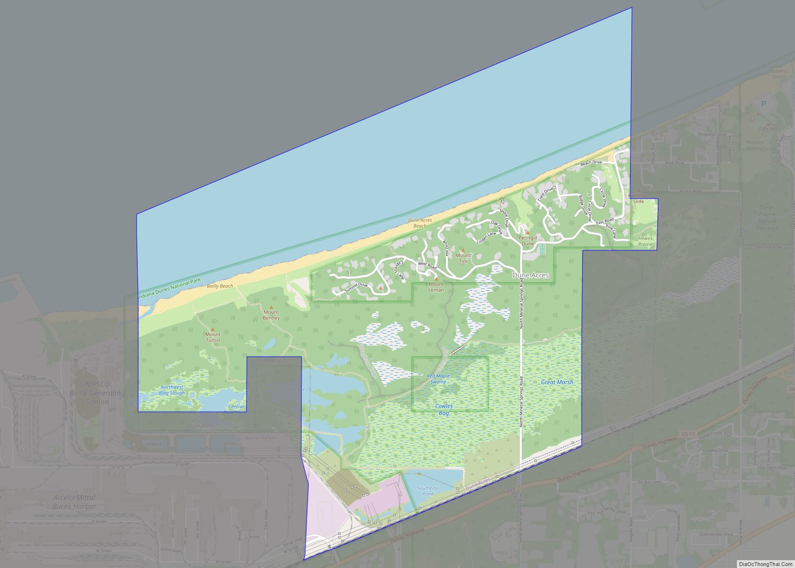
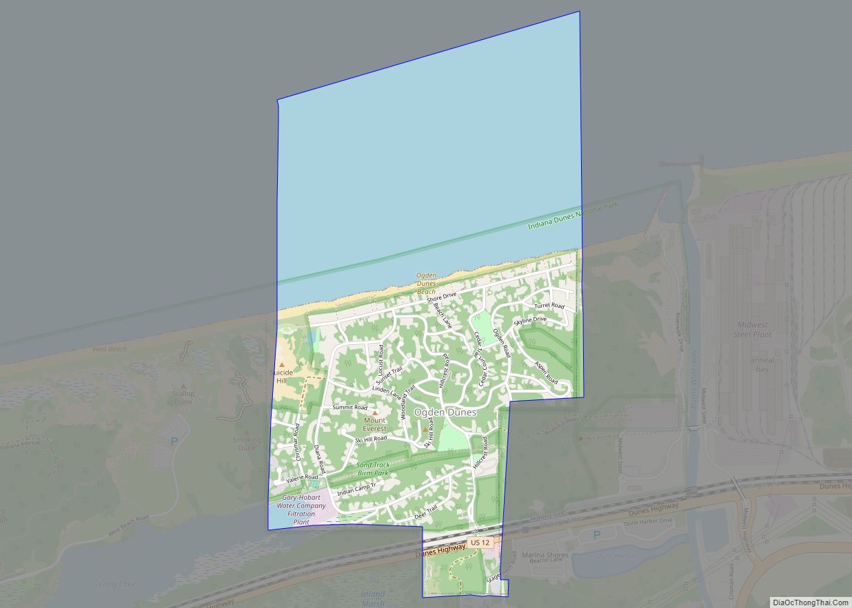
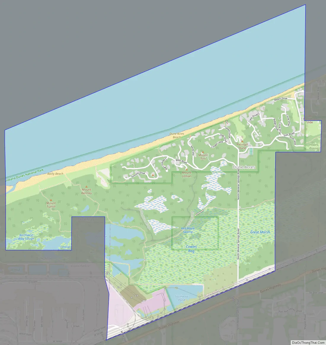
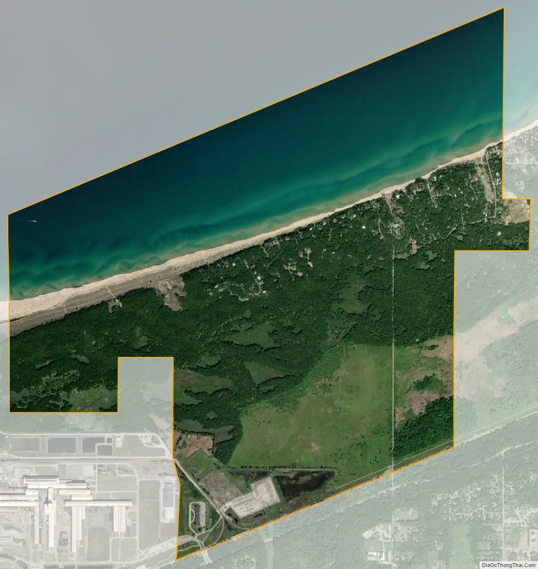
Dune Acres is a town in Westchester Township, Porter County, in the U.S. state of Indiana. The population was 182 at the 2010 census. Dune Acres is located in the duneland of the south shore of Lake Michigan. Many residents of Dune Acres and surrounding communities helped preserve parts of the Indiana Dunes.
| Name: | Dune Acres town |
|---|---|
| LSAD Code: | 43 |
| LSAD Description: | town (suffix) |
| State: | Indiana |
| County: | Porter County |
| Elevation: | 627 ft (191 m) |
| Total Area: | 3.39 sq mi (8.79 km²) |
| Land Area: | 2.13 sq mi (5.51 km²) |
| Water Area: | 1.27 sq mi (3.28 km²) |
| Total Population: | 234 |
| Population Density: | 110.01/sq mi (42.48/km²) |
| ZIP code: | 46304 |
| FIPS code: | 1818982 |
| GNISfeature ID: | 433775 |
| Website: | http://www.duneacres.org/ |
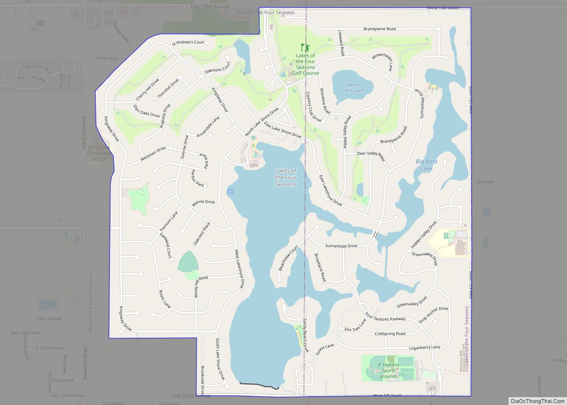
Online Interactive Map
Click on ![]() to view map in "full screen" mode.
to view map in "full screen" mode.
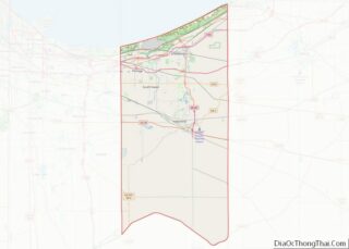
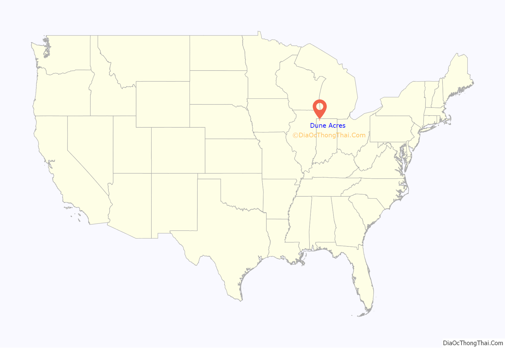
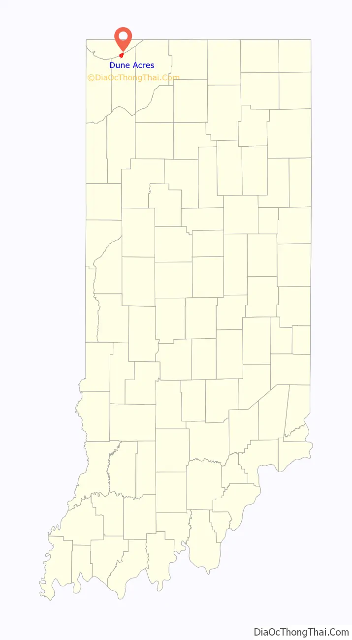
Dune Acres location map. Where is Dune Acres town?
History
Dune Acres was platted in 1923 as a lakeside resort village.
The Dune Acres Clubhouse was listed on the National Register of Historic Places in 2007.
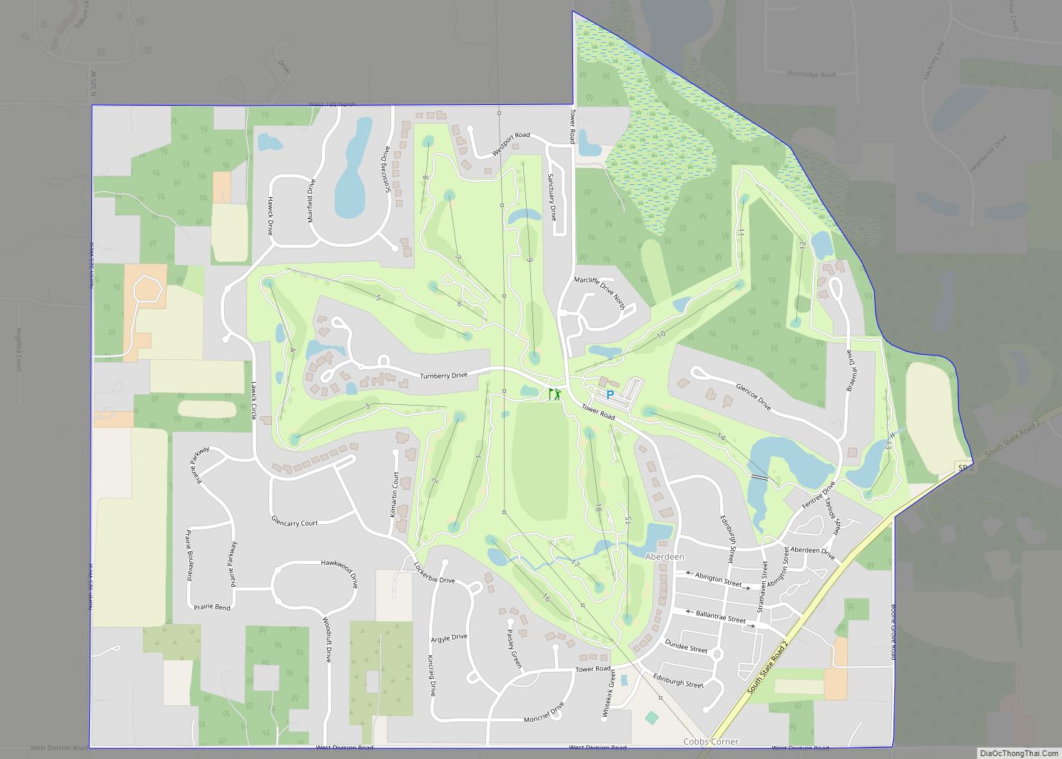
Dune Acres Road Map
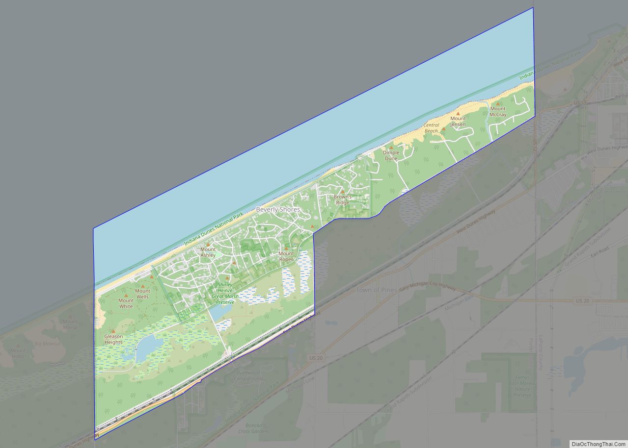
Dune Acres city Satellite Map
Geography
Dune Acres is located at 41°38′47″N 87°5′6″W / 41.64639°N 87.08500°W / 41.64639; -87.08500 (41.646416, -87.084905).
According to the 2010 census, Dune Acres has a total area of 3.44 square miles (8.91 km), of which 2.17 square miles (5.62 km) (or 63.08%) is land and 1.27 square miles (3.29 km) (or 36.92%) is water.
See also
Map of Indiana State and its subdivision:- Adams
- Allen
- Bartholomew
- Benton
- Blackford
- Boone
- Brown
- Carroll
- Cass
- Clark
- Clay
- Clinton
- Crawford
- Daviess
- De Kalb
- Dearborn
- Decatur
- Delaware
- Dubois
- Elkhart
- Fayette
- Floyd
- Fountain
- Franklin
- Fulton
- Gibson
- Grant
- Greene
- Hamilton
- Hancock
- Harrison
- Hendricks
- Henry
- Howard
- Huntington
- Jackson
- Jasper
- Jay
- Jefferson
- Jennings
- Johnson
- Knox
- Kosciusko
- LaGrange
- Lake
- Lake Michigan
- LaPorte
- Lawrence
- Madison
- Marion
- Marshall
- Martin
- Miami
- Monroe
- Montgomery
- Morgan
- Newton
- Noble
- Ohio
- Orange
- Owen
- Parke
- Perry
- Pike
- Porter
- Posey
- Pulaski
- Putnam
- Randolph
- Ripley
- Rush
- Saint Joseph
- Scott
- Shelby
- Spencer
- Starke
- Steuben
- Sullivan
- Switzerland
- Tippecanoe
- Tipton
- Union
- Vanderburgh
- Vermillion
- Vigo
- Wabash
- Warren
- Warrick
- Washington
- Wayne
- Wells
- White
- Whitley
- Alabama
- Alaska
- Arizona
- Arkansas
- California
- Colorado
- Connecticut
- Delaware
- District of Columbia
- Florida
- Georgia
- Hawaii
- Idaho
- Illinois
- Indiana
- Iowa
- Kansas
- Kentucky
- Louisiana
- Maine
- Maryland
- Massachusetts
- Michigan
- Minnesota
- Mississippi
- Missouri
- Montana
- Nebraska
- Nevada
- New Hampshire
- New Jersey
- New Mexico
- New York
- North Carolina
- North Dakota
- Ohio
- Oklahoma
- Oregon
- Pennsylvania
- Rhode Island
- South Carolina
- South Dakota
- Tennessee
- Texas
- Utah
- Vermont
- Virginia
- Washington
- West Virginia
- Wisconsin
- Wyoming