Fairmount is a town in Fairmount Township, Grant County in the east central part of the U.S. state of Indiana. The population was 2,954 at the 2010 census. It is 55 miles (88 km) northeast of Indianapolis. Largely a bedroom community for nearby Marion, Fairmount is best known as the boyhood home of actor James Dean, who is buried there.
| Name: | Fairmount town |
|---|---|
| LSAD Code: | 43 |
| LSAD Description: | town (suffix) |
| State: | Indiana |
| County: | Grant County |
| Elevation: | 863 ft (263 m) |
| Total Area: | 1.59 sq mi (4.11 km²) |
| Land Area: | 1.59 sq mi (4.11 km²) |
| Water Area: | 0.00 sq mi (0.00 km²) |
| Total Population: | 2,682 |
| Population Density: | 1,691.05/sq mi (652.90/km²) |
| ZIP code: | 46928 |
| Area code: | 765 |
| FIPS code: | 1822432 |
| GNISfeature ID: | 0434304 |
| Website: | http://www.fairmount-in.com/ |
Online Interactive Map
Click on ![]() to view map in "full screen" mode.
to view map in "full screen" mode.
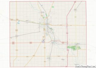
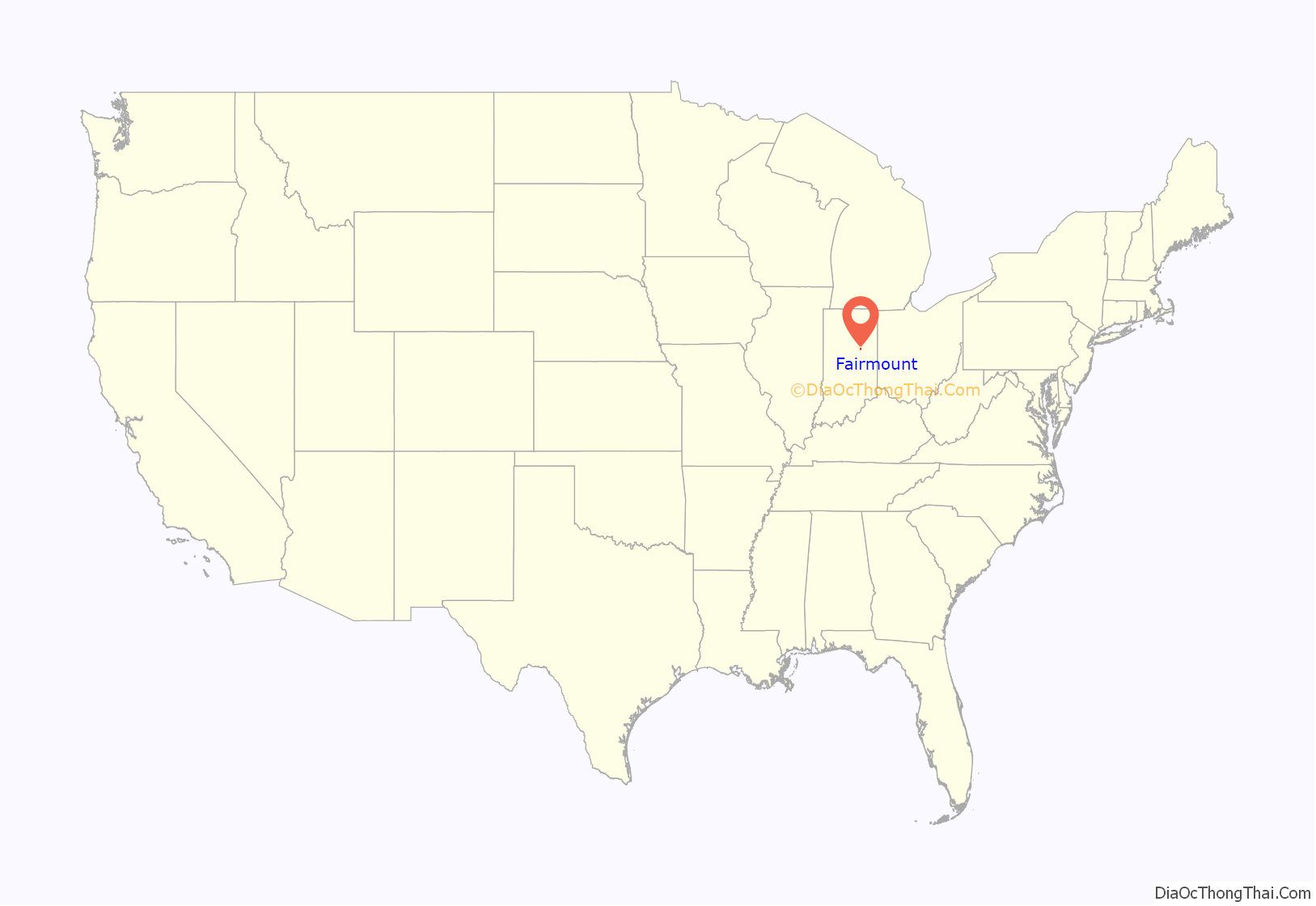
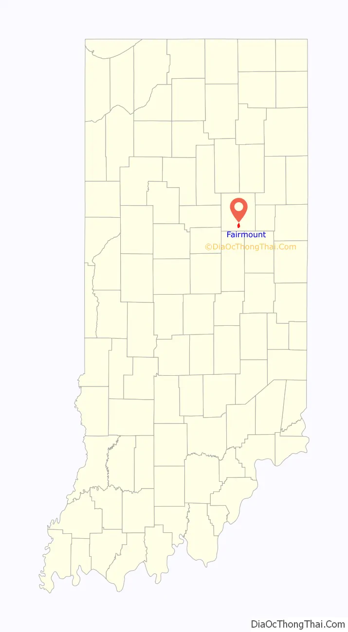
Fairmount location map. Where is Fairmount town?
History
The Fairmount area was settled in the 1830s mostly by Quakers from North Carolina. The town was laid out in 1850 and named for Fairmount Park in Philadelphia; it was formally incorporated in 1870.
After a large deposit of natural gas was found in 1887, Fairmount became part of the Indiana Gas Boom and a center of the glass industry for the rest of the 19th century. Shortly after the depletion of the gas in 1900 the automobile industry set up factories in the nearby large cities, and Fairmount became a bedroom community, restoring some of its lost prosperity.
In the 1940s, James Dean lived with an aunt and uncle, Ortense and Marcus Winslow, on a farm north of Fairmount. He attended Fairmount High School, graduating in 1949. After his death in 1955, Dean was buried in Park Cemetery. In 1996, a small Memorial Park north of the town’s business district was dedicated in his memory with a bronze bust by Hollywood artist Kenneth Kendall.
During the prosperity of the 1960s, Fairmount enjoyed a time of building with a new town hall, water works, post office and elementary school. At the end of the decade the local school district merged with a neighboring one, forming the Madison–Grant united school district. A new high school was built for this district, and Fairmount High School became a middle school. When a new junior high school was opened in 1986, the Fairmount High School building was permanently closed.
Fairmount was hit hard by the recession of 1980–1982, which brought the permanent loss of factory jobs and the failure of many farms, but rebounded later in the decade. Fairmount is still relatively prosperous despite the ill fortunes of nearby industrial cities and a steady loss of population.
On September 21, 1975 The James Dean Museum opened at 203 E Washington Street in Fairmount, Indiana. The museum houses the world’s largest collection of James Dean’s personal belongings, which are on loan from the Winslow family. The museum includes his 1947 Czech 125cc motorcycle, 1955 Triumph TR5 Trophy 500cc motorcycle, clothing, movie props, photographs, letters, artworks, awards, and more! Since 1975, The James Dean Museum has sponsored the annual James Dean Festival. The festival is always held the last full weekend of September. It includes a huge car show, parade, carnival, vendors, and the world famous James Dean look-alike contest. Come visit Fairmount and pay your respects to one of the world’s greatest icons. (Source: www.thejamesdeanmuseum.com/information.html)
On September 30 of each year there is a Memorial Service for James Dean at The Back Creek Friends Church, south of The Winslow Farm.
The Baldwin Addition Historic District, Fairmount Commercial Historic District, and J.W. Patterson House are listed on the National Register of Historic Places.
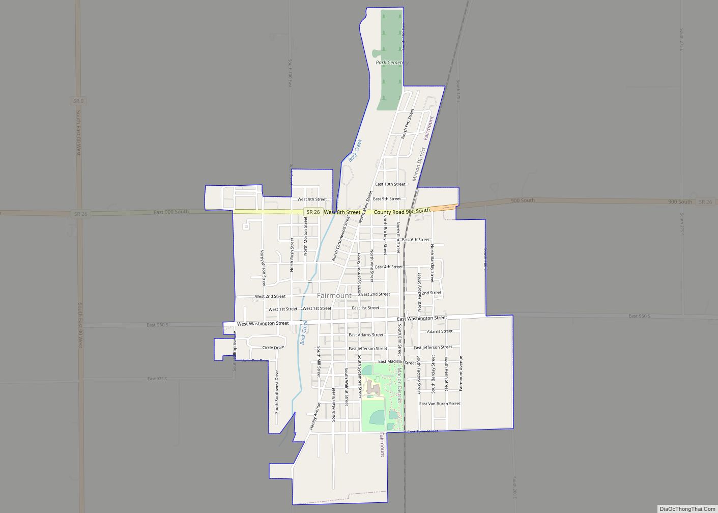
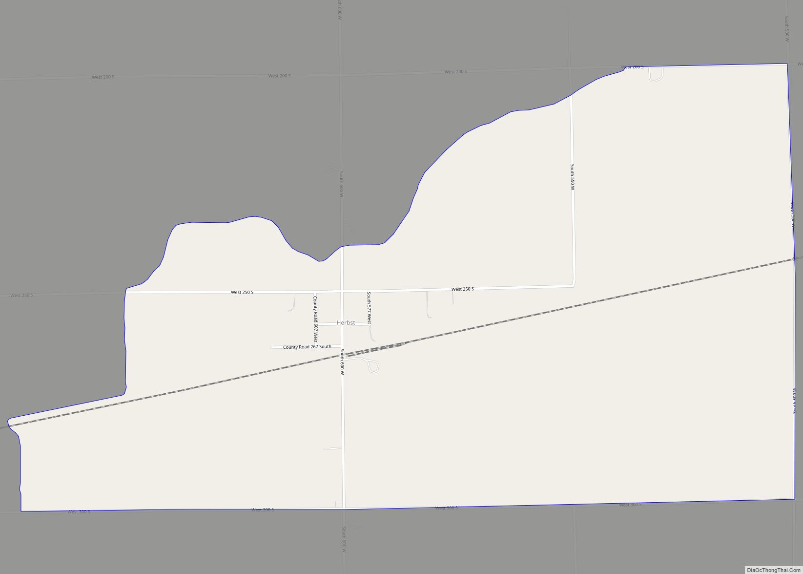
Fairmount Road Map
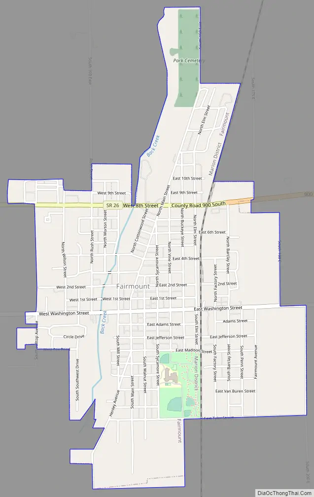
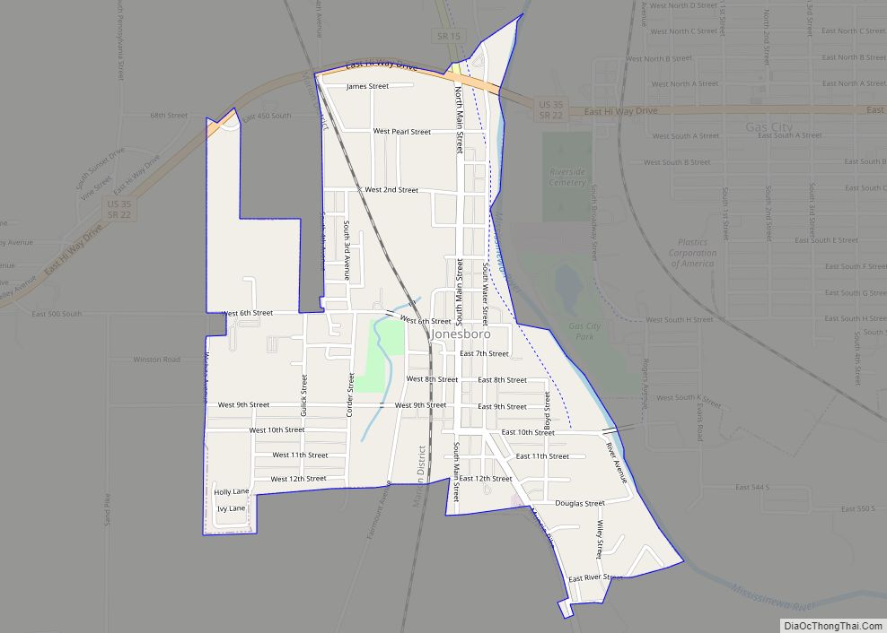
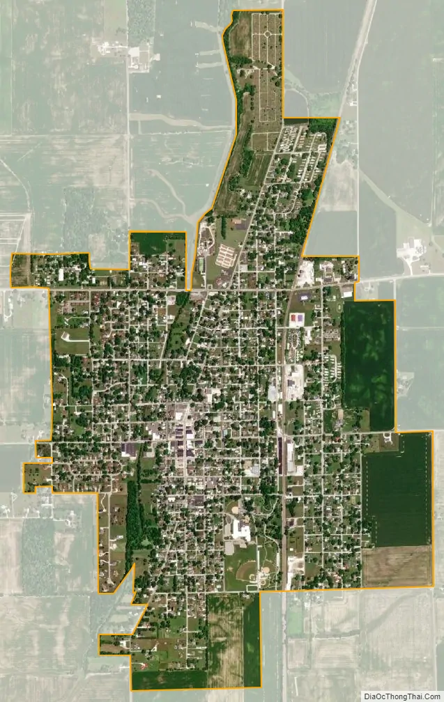
Fairmount city Satellite Map
Geography
Fairmount is located at 40°25′4″N 85°38′56″W / 40.41778°N 85.64889°W / 40.41778; -85.64889 (40.417702, −85.648942).
According to the 2010 census, Fairmount has a total area of 1.58 square miles (4.09 km), all land.
See also
Map of Indiana State and its subdivision:- Adams
- Allen
- Bartholomew
- Benton
- Blackford
- Boone
- Brown
- Carroll
- Cass
- Clark
- Clay
- Clinton
- Crawford
- Daviess
- De Kalb
- Dearborn
- Decatur
- Delaware
- Dubois
- Elkhart
- Fayette
- Floyd
- Fountain
- Franklin
- Fulton
- Gibson
- Grant
- Greene
- Hamilton
- Hancock
- Harrison
- Hendricks
- Henry
- Howard
- Huntington
- Jackson
- Jasper
- Jay
- Jefferson
- Jennings
- Johnson
- Knox
- Kosciusko
- LaGrange
- Lake
- Lake Michigan
- LaPorte
- Lawrence
- Madison
- Marion
- Marshall
- Martin
- Miami
- Monroe
- Montgomery
- Morgan
- Newton
- Noble
- Ohio
- Orange
- Owen
- Parke
- Perry
- Pike
- Porter
- Posey
- Pulaski
- Putnam
- Randolph
- Ripley
- Rush
- Saint Joseph
- Scott
- Shelby
- Spencer
- Starke
- Steuben
- Sullivan
- Switzerland
- Tippecanoe
- Tipton
- Union
- Vanderburgh
- Vermillion
- Vigo
- Wabash
- Warren
- Warrick
- Washington
- Wayne
- Wells
- White
- Whitley
- Alabama
- Alaska
- Arizona
- Arkansas
- California
- Colorado
- Connecticut
- Delaware
- District of Columbia
- Florida
- Georgia
- Hawaii
- Idaho
- Illinois
- Indiana
- Iowa
- Kansas
- Kentucky
- Louisiana
- Maine
- Maryland
- Massachusetts
- Michigan
- Minnesota
- Mississippi
- Missouri
- Montana
- Nebraska
- Nevada
- New Hampshire
- New Jersey
- New Mexico
- New York
- North Carolina
- North Dakota
- Ohio
- Oklahoma
- Oregon
- Pennsylvania
- Rhode Island
- South Carolina
- South Dakota
- Tennessee
- Texas
- Utah
- Vermont
- Virginia
- Washington
- West Virginia
- Wisconsin
- Wyoming