Fowlerton is a town in Fairmount Township, Grant County, Indiana, United States. The population was 261 at the 2010 census.
| Name: | Fowlerton town |
|---|---|
| LSAD Code: | 43 |
| LSAD Description: | town (suffix) |
| State: | Indiana |
| County: | Grant County |
| Elevation: | 879 ft (268 m) |
| Total Area: | 0.20 sq mi (0.51 km²) |
| Land Area: | 0.20 sq mi (0.51 km²) |
| Water Area: | 0.00 sq mi (0.00 km²) |
| Total Population: | 268 |
| Population Density: | 1,367.35/sq mi (529.06/km²) |
| ZIP code: | 46930 |
| Area code: | 765 |
| FIPS code: | 1825198 |
| GNISfeature ID: | 0434733 |
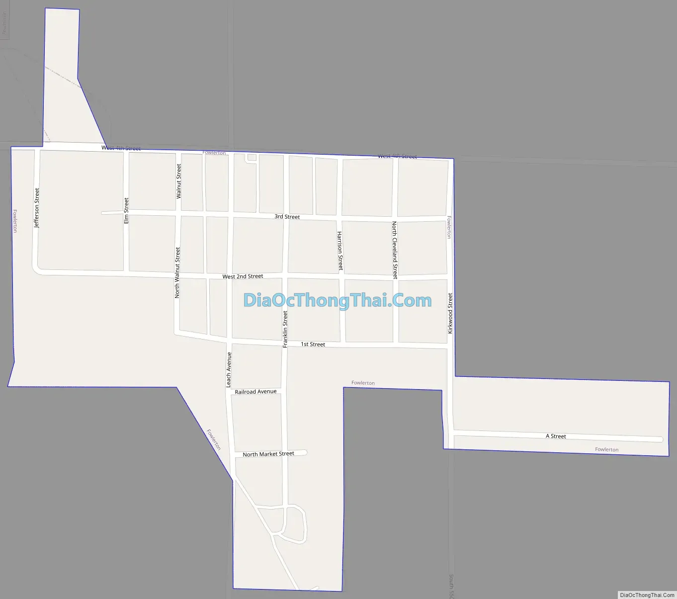
Online Interactive Map
Click on ![]() to view map in "full screen" mode.
to view map in "full screen" mode.
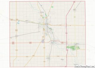
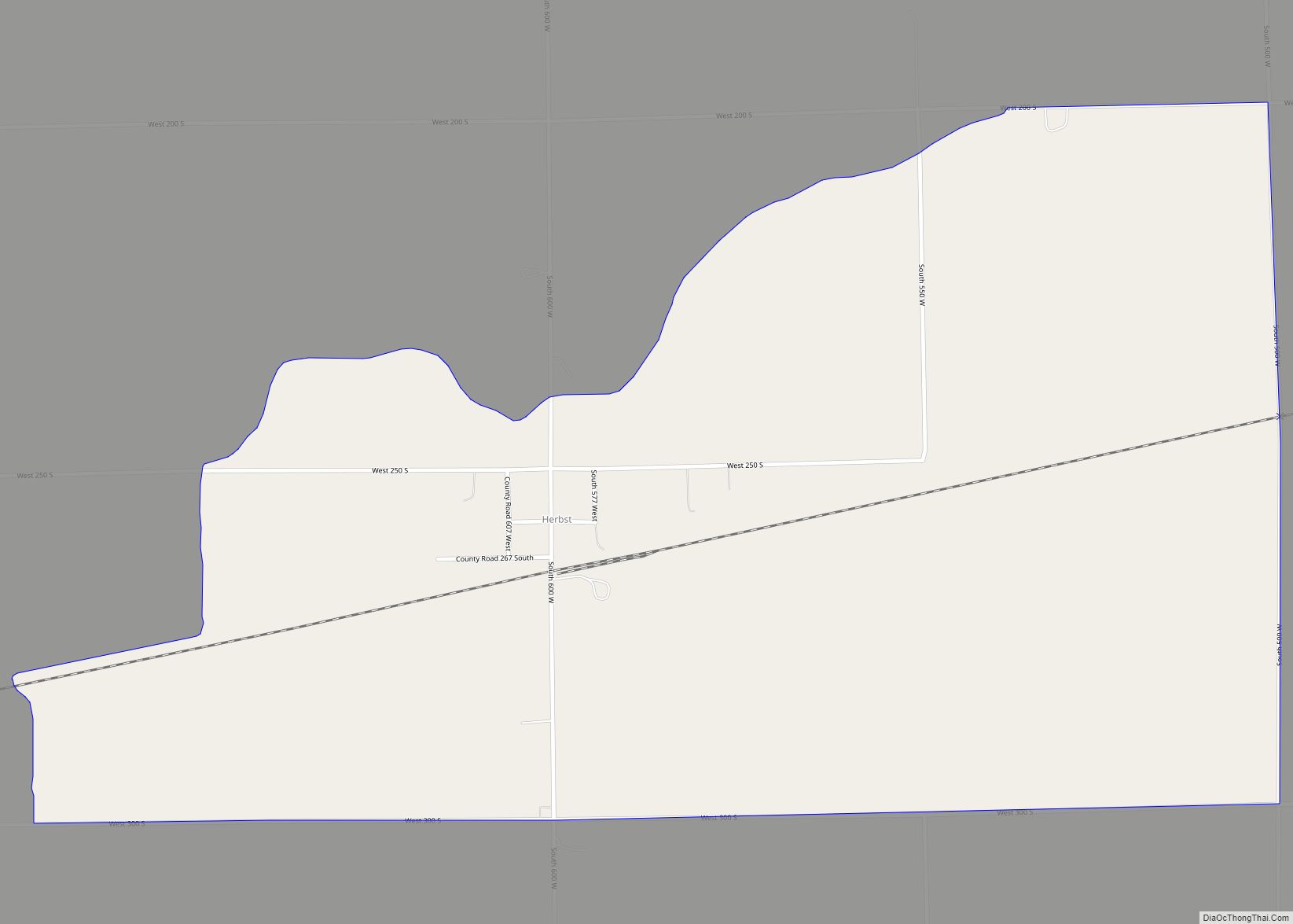
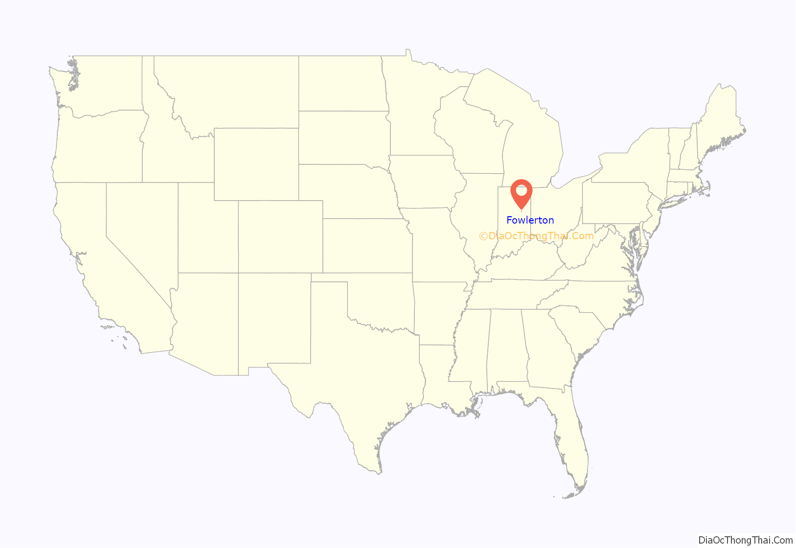
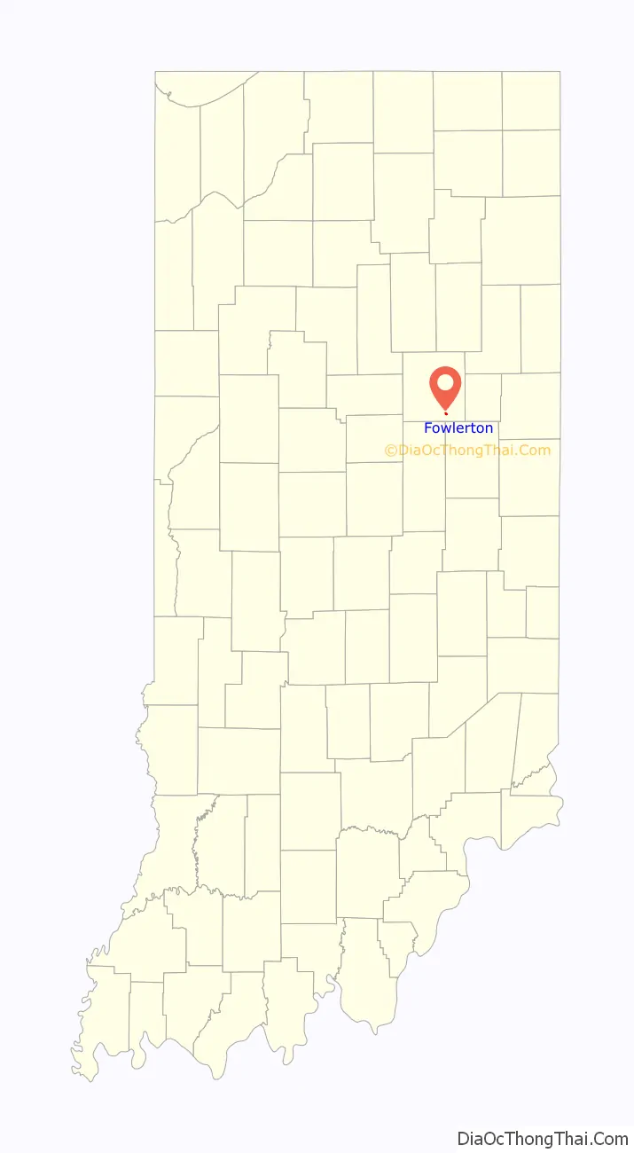
Fowlerton location map. Where is Fowlerton town?
History
Fowlerton was called Leach when it was founded. The Leach post office was established in 1895, and was renamed Fowlerton in 1902. Fowlerton was a booming town with multiple stores, bars, and this small town even had its own locomotive station; at least up until the Great Flood of 1913, which wiped out the entire town and left buildings, homes, and debris deep under water.
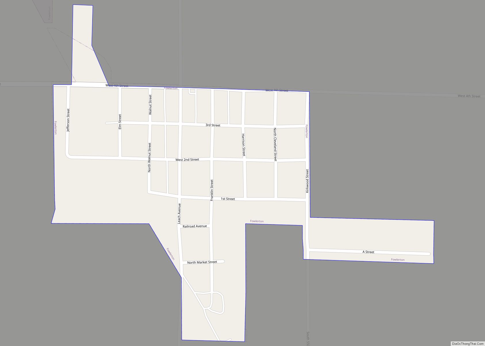
Fowlerton Road Map
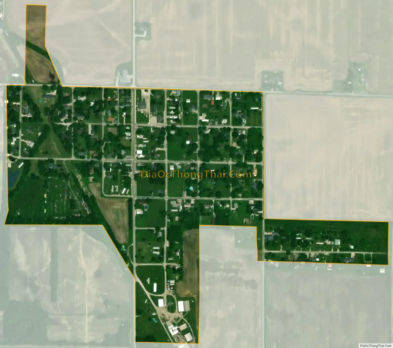
Fowlerton city Satellite Map
Geography
Fowlerton is located at 40°24′35″N 85°34′23″W / 40.40972°N 85.57306°W / 40.40972; -85.57306 (40.409679, -85.573009).
According to the 2010 census, Fowlerton has a total area of 0.2 square miles (0.52 km), all land.
Until it was sold in 1955, the Meguiar’s Catsup & Chili Sauce factory was in Fowlerton. The factory facilities are currently in disrepair, but some buildings are still standing.
See also
Map of Indiana State and its subdivision:- Adams
- Allen
- Bartholomew
- Benton
- Blackford
- Boone
- Brown
- Carroll
- Cass
- Clark
- Clay
- Clinton
- Crawford
- Daviess
- De Kalb
- Dearborn
- Decatur
- Delaware
- Dubois
- Elkhart
- Fayette
- Floyd
- Fountain
- Franklin
- Fulton
- Gibson
- Grant
- Greene
- Hamilton
- Hancock
- Harrison
- Hendricks
- Henry
- Howard
- Huntington
- Jackson
- Jasper
- Jay
- Jefferson
- Jennings
- Johnson
- Knox
- Kosciusko
- LaGrange
- Lake
- Lake Michigan
- LaPorte
- Lawrence
- Madison
- Marion
- Marshall
- Martin
- Miami
- Monroe
- Montgomery
- Morgan
- Newton
- Noble
- Ohio
- Orange
- Owen
- Parke
- Perry
- Pike
- Porter
- Posey
- Pulaski
- Putnam
- Randolph
- Ripley
- Rush
- Saint Joseph
- Scott
- Shelby
- Spencer
- Starke
- Steuben
- Sullivan
- Switzerland
- Tippecanoe
- Tipton
- Union
- Vanderburgh
- Vermillion
- Vigo
- Wabash
- Warren
- Warrick
- Washington
- Wayne
- Wells
- White
- Whitley
- Alabama
- Alaska
- Arizona
- Arkansas
- California
- Colorado
- Connecticut
- Delaware
- District of Columbia
- Florida
- Georgia
- Hawaii
- Idaho
- Illinois
- Indiana
- Iowa
- Kansas
- Kentucky
- Louisiana
- Maine
- Maryland
- Massachusetts
- Michigan
- Minnesota
- Mississippi
- Missouri
- Montana
- Nebraska
- Nevada
- New Hampshire
- New Jersey
- New Mexico
- New York
- North Carolina
- North Dakota
- Ohio
- Oklahoma
- Oregon
- Pennsylvania
- Rhode Island
- South Carolina
- South Dakota
- Tennessee
- Texas
- Utah
- Vermont
- Virginia
- Washington
- West Virginia
- Wisconsin
- Wyoming