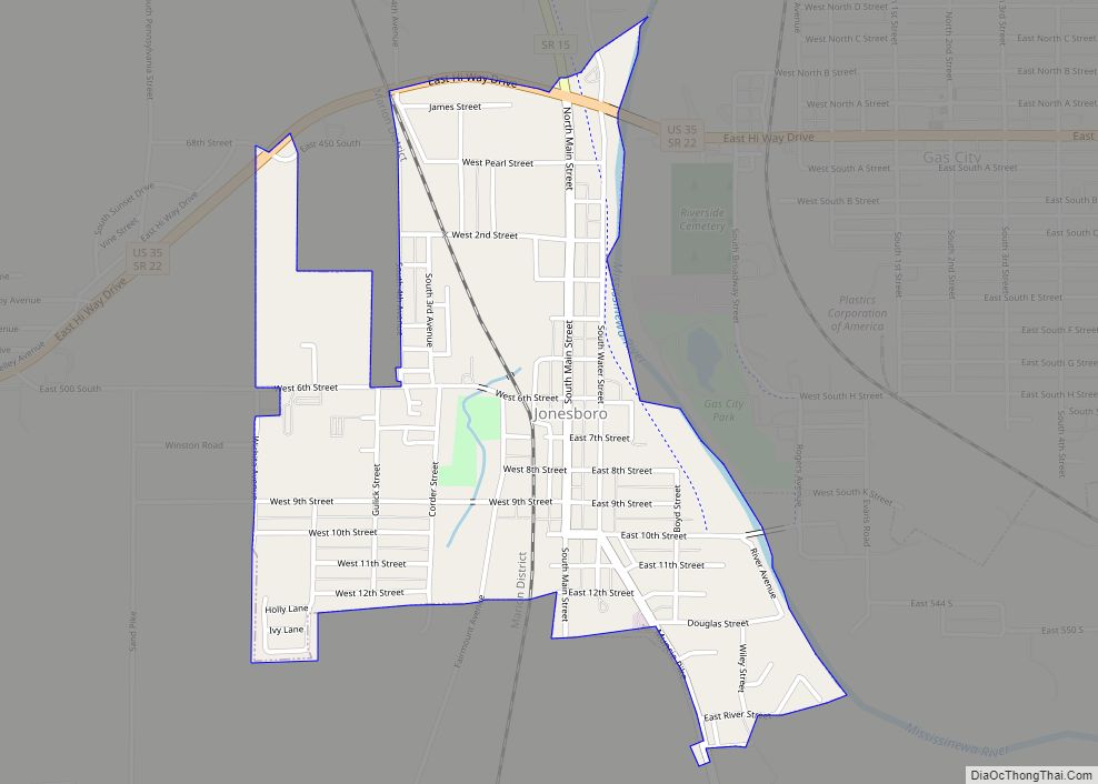
Gas City is a city in Grant County, Indiana, along the Mississinewa River. The population was 5,965 at the 2010 census.
| Name: | Gas City city |
|---|---|
| LSAD Code: | 25 |
| LSAD Description: | city (suffix) |
| State: | Indiana |
| County: | Grant County |
| Elevation: | 856 ft (261 m) |
| Total Area: | 5.03 sq mi (13.02 km²) |
| Land Area: | 5.03 sq mi (13.02 km²) |
| Water Area: | 0.00 sq mi (0.00 km²) |
| Total Population: | 6,157 |
| Population Density: | 1,224.79/sq mi (472.88/km²) |
| ZIP code: | 46933 |
| Area code: | 765 |
| FIPS code: | 1827054 |
| GNISfeature ID: | 0434985 |
| Website: | http://www.gascityindiana.com/ |
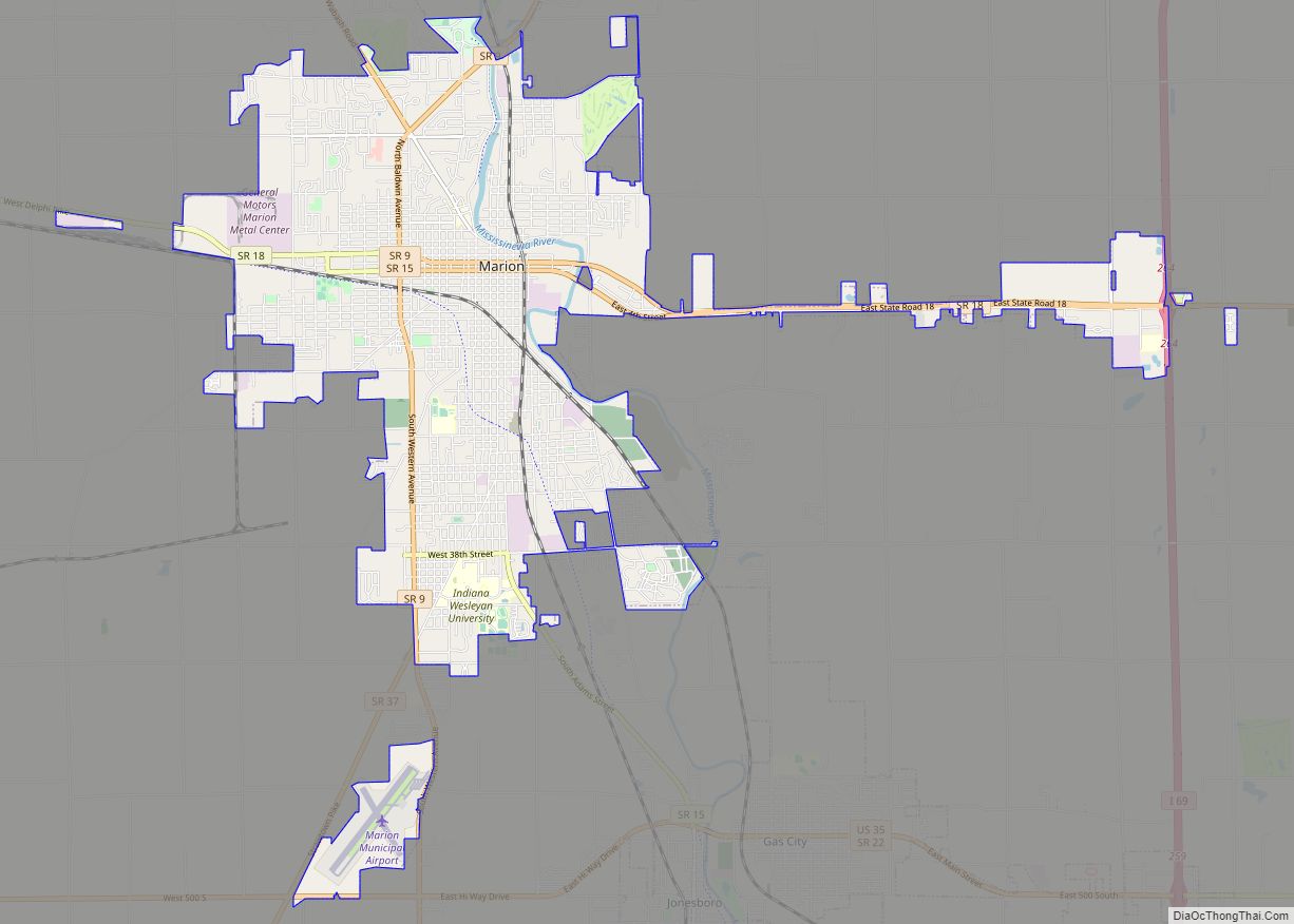
Online Interactive Map
Click on ![]() to view map in "full screen" mode.
to view map in "full screen" mode.
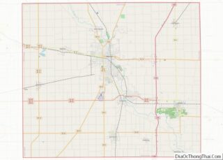
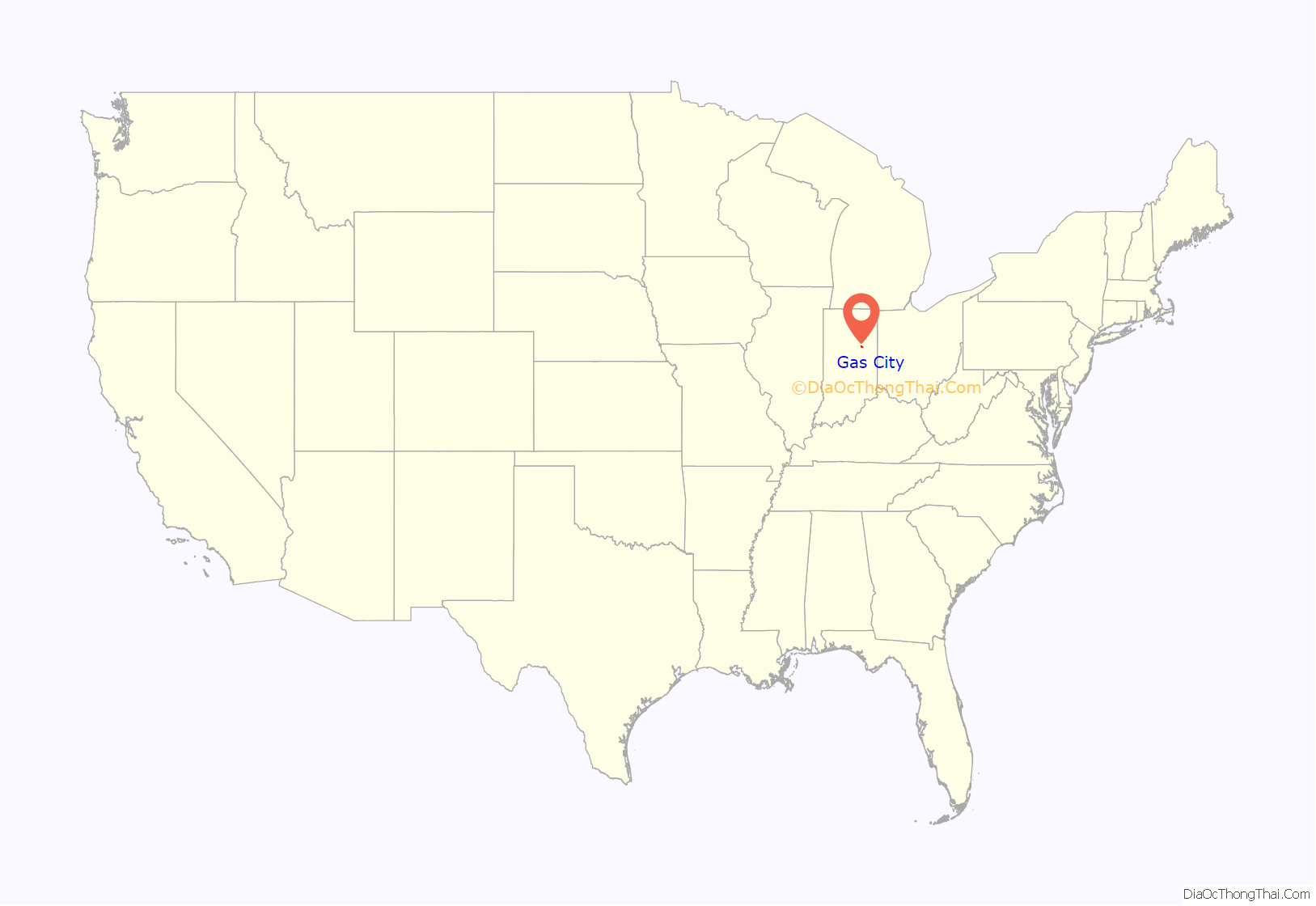
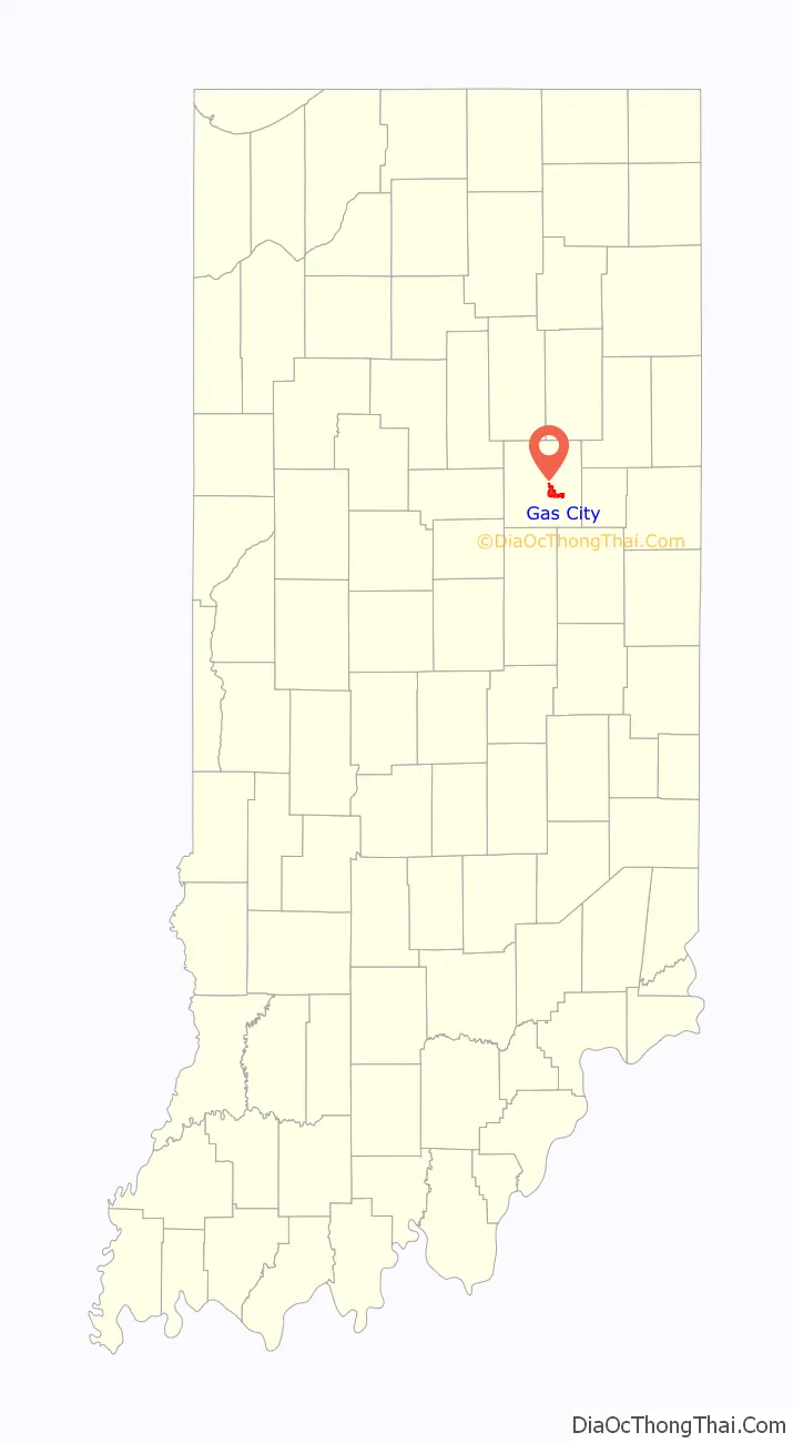
Gas City location map. Where is Gas City city?
History
Gas City was first known as Harrisburg when settled on May 25, 1867, by Noah Harris. It became something of a boom town when natural gas was found in the area in 1887. The Gas City Land Company was founded on March 21, 1892, and the town of about 150 people changed its name to Gas City a few days later. However, as of 2022 much of the gas is depleted. (See Indiana gas boom.)
The Gas City High School, Thompson-Ray House, and West Ward School are listed on the National Register of Historic Places.
Gas City annually hosts the Ducktail Run Rod and Custom Car Show in the Fall. The “Ducktail Run,” as it is known to locals, is a large car show featuring vehicles from 1972 and older. In the year 2020, the Festival had 2,020 vehicles register to appear.
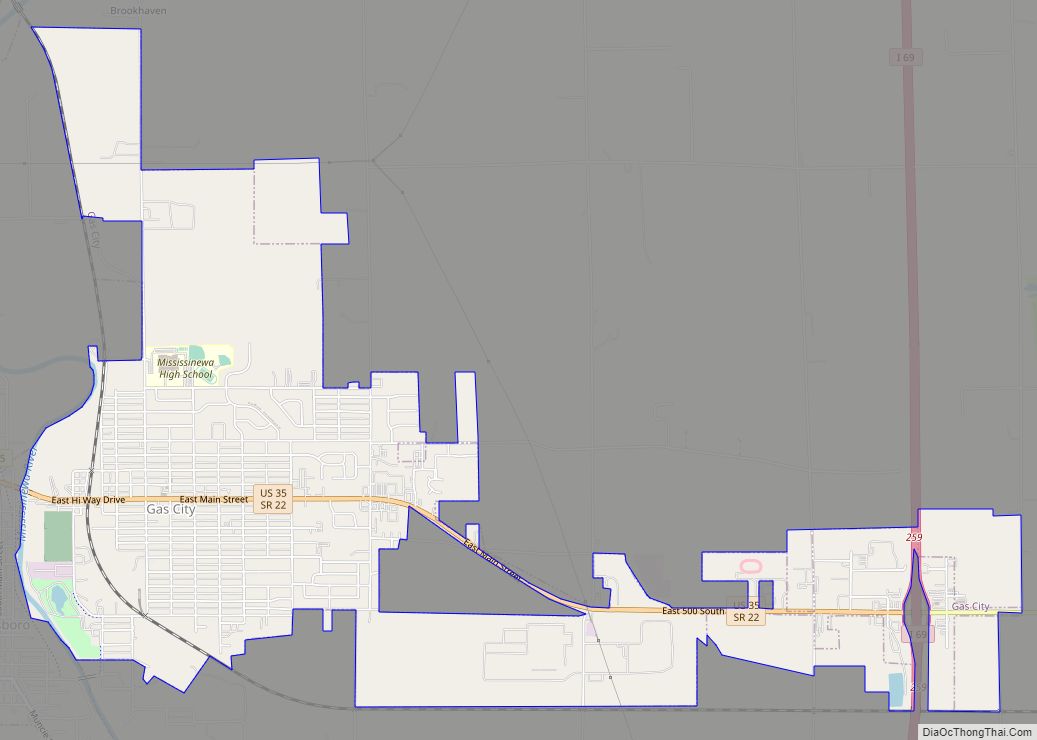
Gas City Road Map
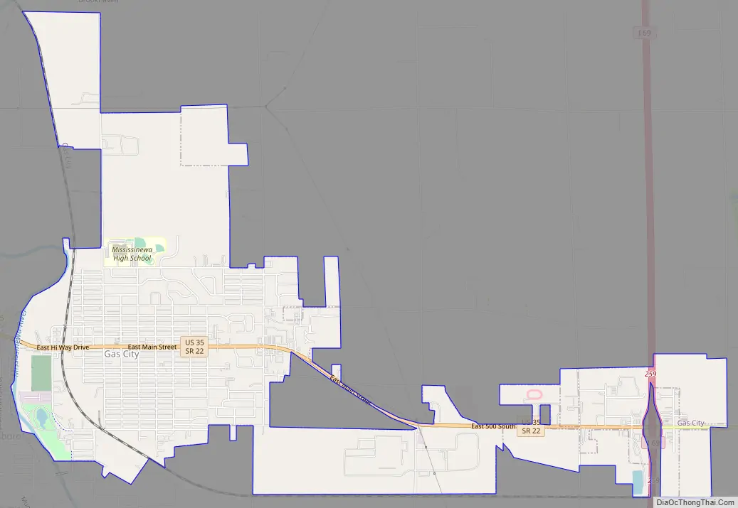
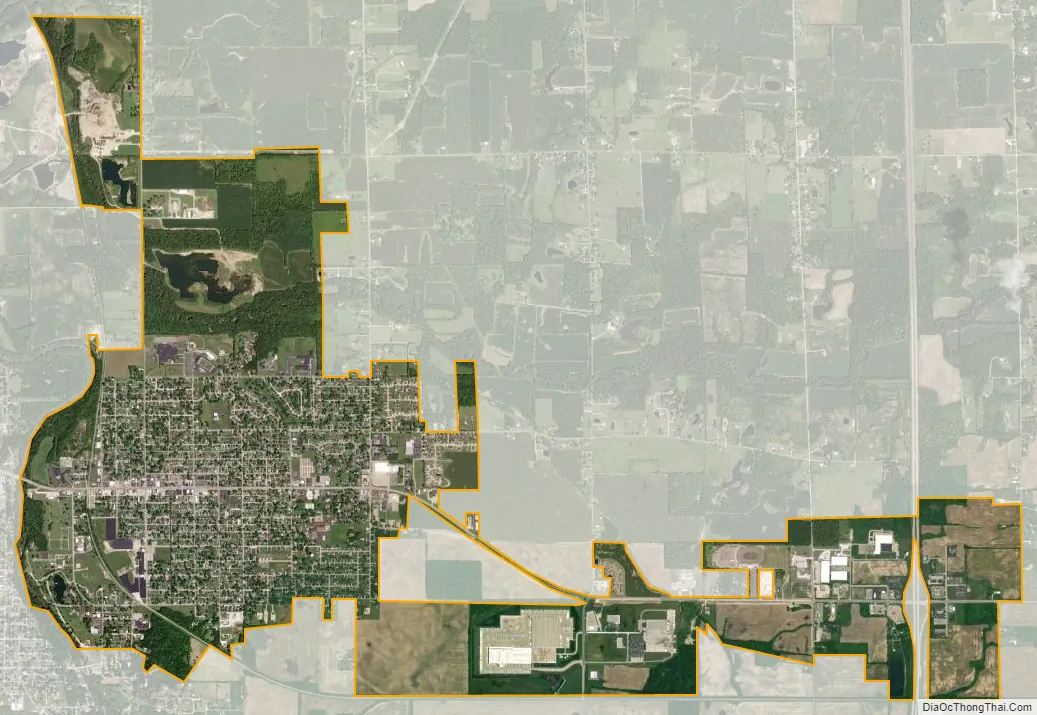
Gas City city Satellite Map
Geography
Gas City is located at 40°29′17″N 85°36′20″W / 40.48806°N 85.60556°W / 40.48806; -85.60556 (40.488190, -85.605649).
According to the 2010 census, Gas City has a total area of 4.56 square miles (11.81 km), all land.
See also
Map of Indiana State and its subdivision:- Adams
- Allen
- Bartholomew
- Benton
- Blackford
- Boone
- Brown
- Carroll
- Cass
- Clark
- Clay
- Clinton
- Crawford
- Daviess
- De Kalb
- Dearborn
- Decatur
- Delaware
- Dubois
- Elkhart
- Fayette
- Floyd
- Fountain
- Franklin
- Fulton
- Gibson
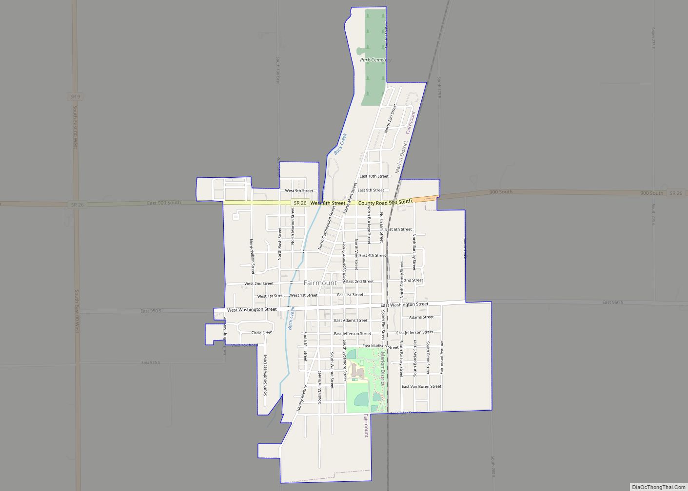
- Grant
- Greene
- Hamilton
- Hancock
- Harrison
- Hendricks
- Henry
- Howard
- Huntington
- Jackson
- Jasper
- Jay
- Jefferson
- Jennings
- Johnson
- Knox
- Kosciusko
- LaGrange
- Lake
- Lake Michigan
- LaPorte
- Lawrence
- Madison
- Marion
- Marshall
- Martin
- Miami
- Monroe
- Montgomery
- Morgan
- Newton
- Noble
- Ohio
- Orange
- Owen
- Parke
- Perry
- Pike
- Porter
- Posey
- Pulaski
- Putnam
- Randolph
- Ripley
- Rush
- Saint Joseph
- Scott
- Shelby
- Spencer
- Starke
- Steuben
- Sullivan
- Switzerland
- Tippecanoe
- Tipton
- Union
- Vanderburgh
- Vermillion
- Vigo
- Wabash
- Warren
- Warrick
- Washington
- Wayne
- Wells
- White
- Whitley
- Alabama
- Alaska
- Arizona
- Arkansas
- California
- Colorado
- Connecticut
- Delaware
- District of Columbia
- Florida
- Georgia
- Hawaii
- Idaho
- Illinois
- Indiana
- Iowa
- Kansas
- Kentucky
- Louisiana
- Maine
- Maryland
- Massachusetts
- Michigan
- Minnesota
- Mississippi
- Missouri
- Montana
- Nebraska
- Nevada
- New Hampshire
- New Jersey
- New Mexico
- New York
- North Carolina
- North Dakota
- Ohio
- Oklahoma
- Oregon
- Pennsylvania
- Rhode Island
- South Carolina
- South Dakota
- Tennessee
- Texas
- Utah
- Vermont
- Virginia
- Washington
- West Virginia
- Wisconsin
- Wyoming