Hebron is a town in Boone Township, Porter County, Indiana, United States. The population was 3,724 at the 2010 census.
| Name: | Hebron town |
|---|---|
| LSAD Code: | 43 |
| LSAD Description: | town (suffix) |
| State: | Indiana |
| County: | Porter County |
| Elevation: | 699 ft (213 m) |
| Total Area: | 1.93 sq mi (4.98 km²) |
| Land Area: | 1.93 sq mi (4.98 km²) |
| Water Area: | 0.00 sq mi (0.00 km²) |
| Total Population: | 3,755 |
| Population Density: | 1,950.65/sq mi (753.35/km²) |
| ZIP code: | 46341 |
| Area code: | 219 |
| FIPS code: | 1832818 |
| GNISfeature ID: | 2396993 |
| Website: | www.hebronindiana.org |
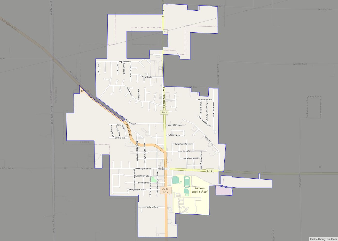
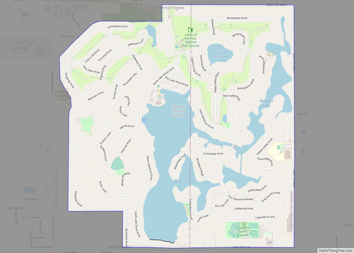
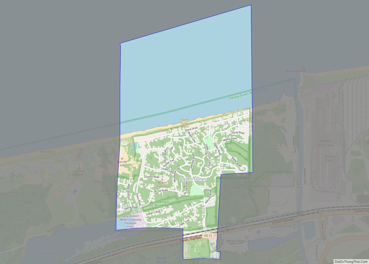
Online Interactive Map
Click on ![]() to view map in "full screen" mode.
to view map in "full screen" mode.
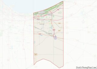
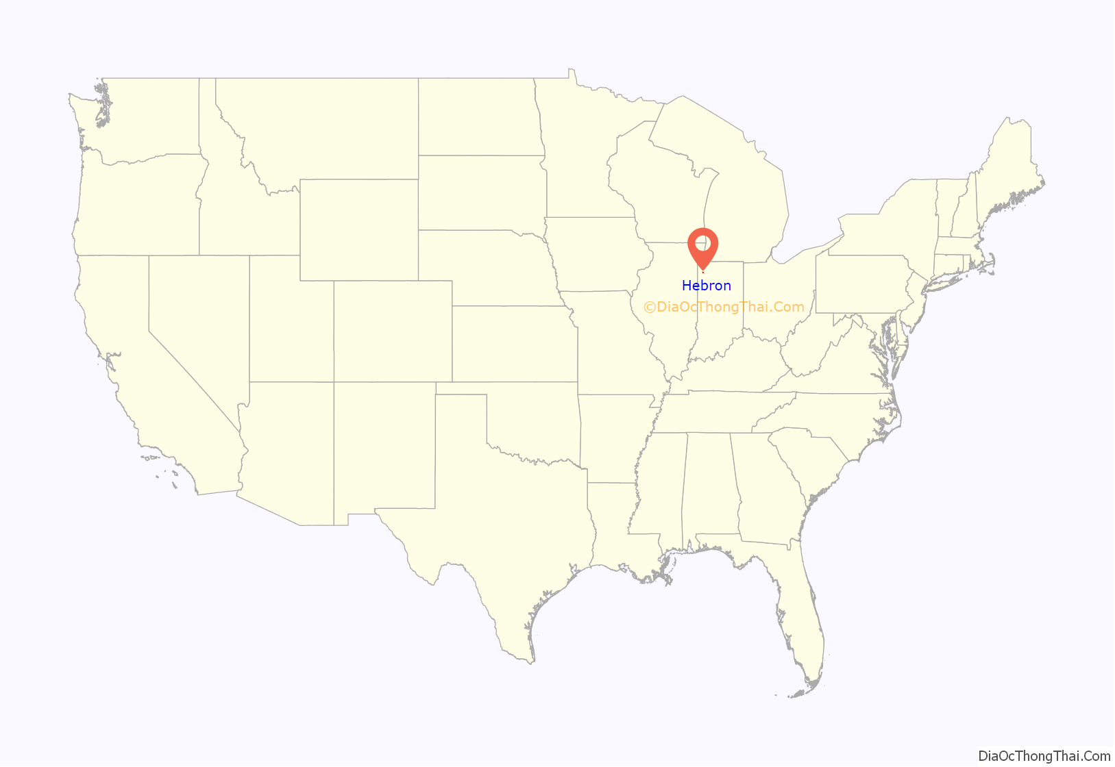
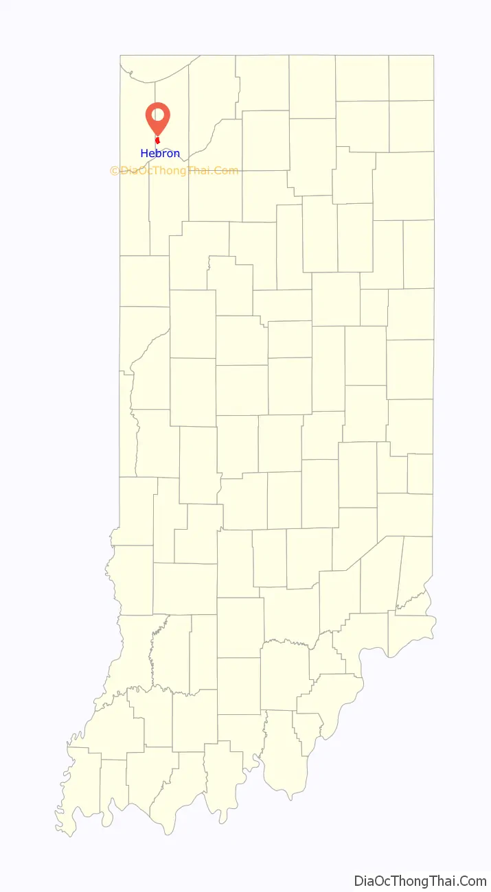
Hebron location map. Where is Hebron town?
History
The first settler to Hebron was Judge Jesse Johnson (1st Judge of the Porter County Probate Court. The area of Hebron was an open prairie interspersed with small groves of trees. The prairie was about 2.5 miles (4.0 km) long by 0.75 miles (1.21 km) wide. About 0.5 miles (0.80 km) south was the Potawatomi village of Hauakiki. Locally the village was called “Indian Town.”
The area chosen for settlement was referred to as “The Corners” as this was where two roads crossed. Hebron was laid out in 1841. The first homes were of log construction. In 1849, Mr. McCune built the “Tavern” as the first frame structure. The tavern continued in use as a tavern until 1936. In 1838, a Rev. Hannan organized the Bethlehem Church of Associate Reform Presbyterians. Later the church changed its name from “Bethlehem” to “Hebron.” In 1845, Rev. Blain of the Hebron Church of Associate Reform Presbyterians petitioned for a post office named after his church. The post office was established that year and the town got its name.
In 1849, 1852, 1855, and 1864 lots were laid out to the west and south of “The Corners.” It took the construction of the Pittsburgh, Cincinnati, Chicago and St. Louis Railroad in 1863 to open the town to growth. Completed just to support the Union effort during the American Civil War, the railroad spurred growth after the war ended. Hebron became a gateway to the rich hunting grounds of the Grand Kankakee Marsh.
The community was granted status as a “Town” on March 5, 1890. The advent of the draining of the Grand Kankakee Marsh in 1890 increased the traffic and the population of the entire area. Another spurt of growth occurred from 1900-1912 when the Hebron Opera House was built. By 1936, three passenger trains a day passed through Hebron headed for Chicago, making access to world markets possible.
The Eli Sigler House was listed on the National Register of Historic Places in 2011.
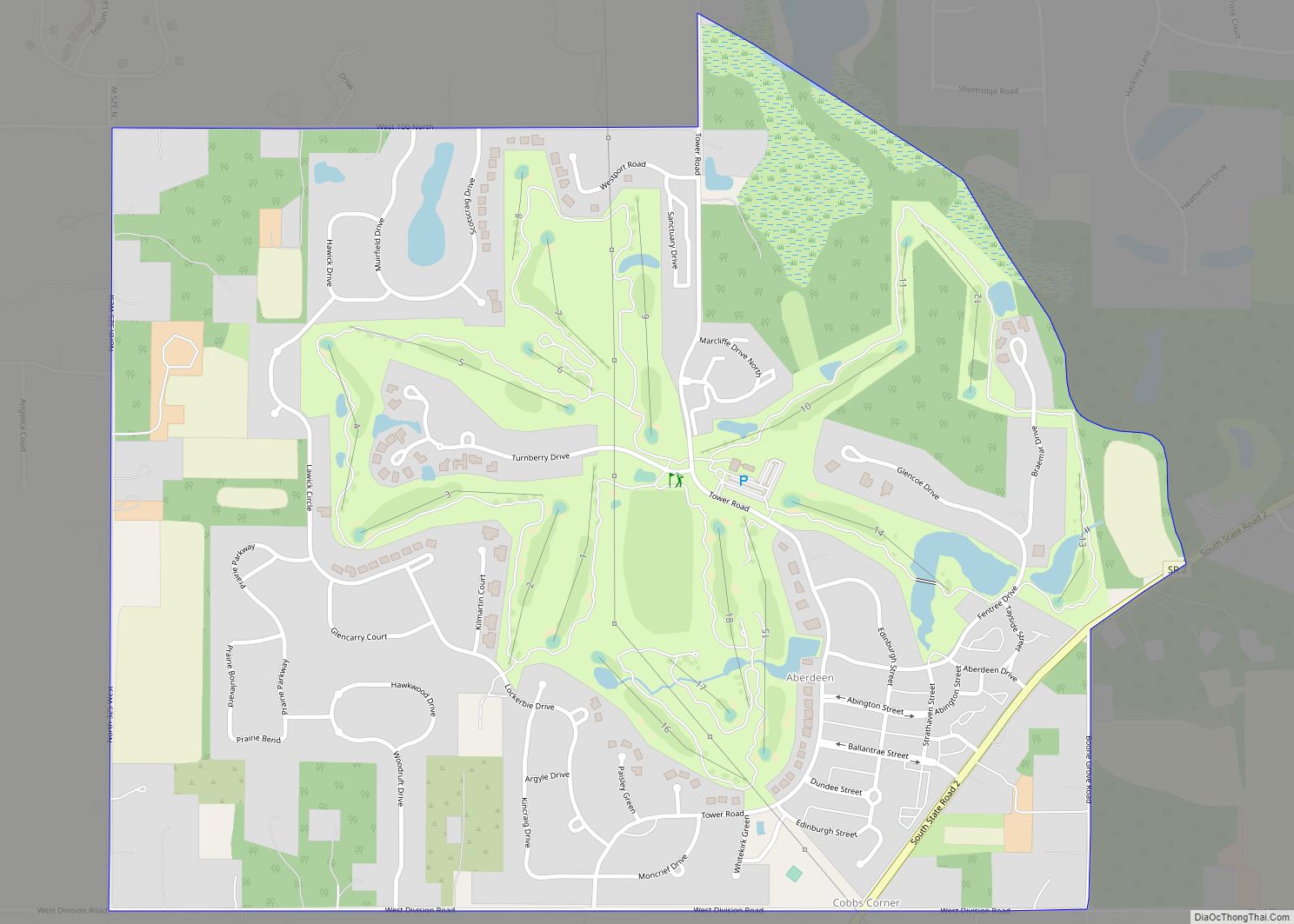
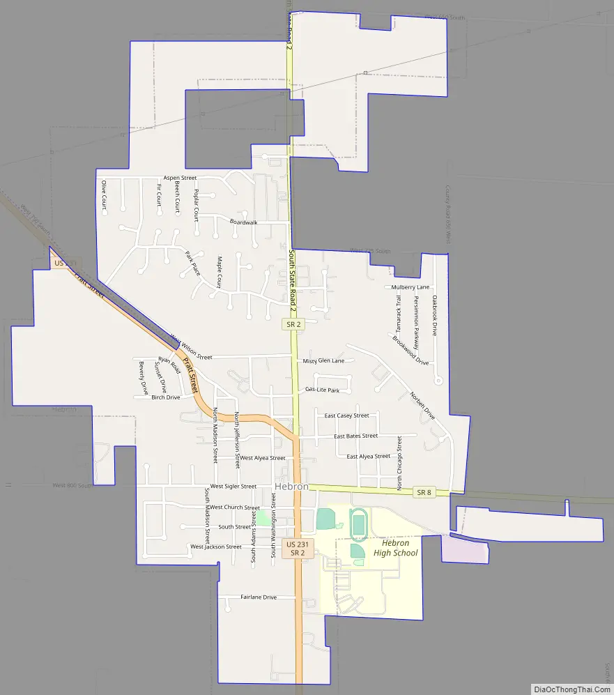
Hebron Road Map
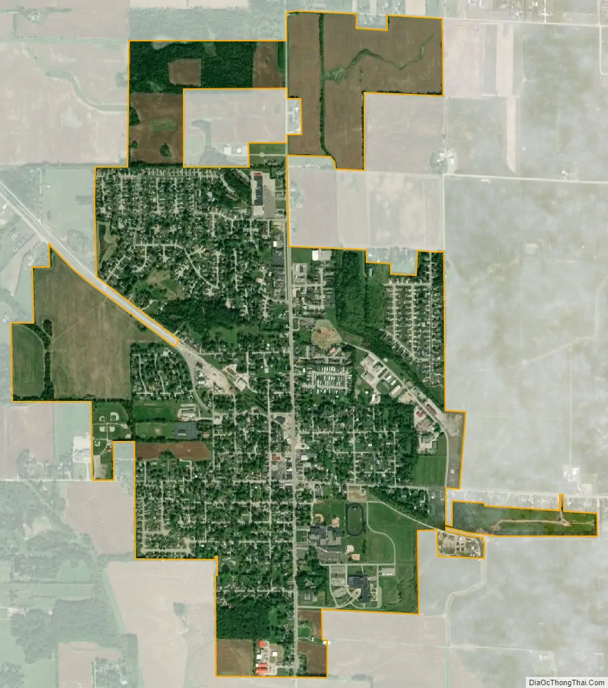
Hebron city Satellite Map
Geography
According to the 2010 census, Hebron has a total area of 1.98 square miles (5.13 km), all land.
See also
Map of Indiana State and its subdivision:- Adams
- Allen
- Bartholomew
- Benton
- Blackford
- Boone
- Brown
- Carroll
- Cass
- Clark
- Clay
- Clinton
- Crawford
- Daviess
- De Kalb
- Dearborn
- Decatur
- Delaware
- Dubois
- Elkhart
- Fayette
- Floyd
- Fountain
- Franklin
- Fulton
- Gibson
- Grant
- Greene
- Hamilton
- Hancock
- Harrison
- Hendricks
- Henry
- Howard
- Huntington
- Jackson
- Jasper
- Jay
- Jefferson
- Jennings
- Johnson
- Knox
- Kosciusko
- LaGrange
- Lake
- Lake Michigan
- LaPorte
- Lawrence
- Madison
- Marion
- Marshall
- Martin
- Miami
- Monroe
- Montgomery
- Morgan
- Newton
- Noble
- Ohio
- Orange
- Owen
- Parke
- Perry
- Pike
- Porter
- Posey
- Pulaski
- Putnam
- Randolph
- Ripley
- Rush
- Saint Joseph
- Scott
- Shelby
- Spencer
- Starke
- Steuben
- Sullivan
- Switzerland
- Tippecanoe
- Tipton
- Union
- Vanderburgh
- Vermillion
- Vigo
- Wabash
- Warren
- Warrick
- Washington
- Wayne
- Wells
- White
- Whitley
- Alabama
- Alaska
- Arizona
- Arkansas
- California
- Colorado
- Connecticut
- Delaware
- District of Columbia
- Florida
- Georgia
- Hawaii
- Idaho
- Illinois
- Indiana
- Iowa
- Kansas
- Kentucky
- Louisiana
- Maine
- Maryland
- Massachusetts
- Michigan
- Minnesota
- Mississippi
- Missouri
- Montana
- Nebraska
- Nevada
- New Hampshire
- New Jersey
- New Mexico
- New York
- North Carolina
- North Dakota
- Ohio
- Oklahoma
- Oregon
- Pennsylvania
- Rhode Island
- South Carolina
- South Dakota
- Tennessee
- Texas
- Utah
- Vermont
- Virginia
- Washington
- West Virginia
- Wisconsin
- Wyoming