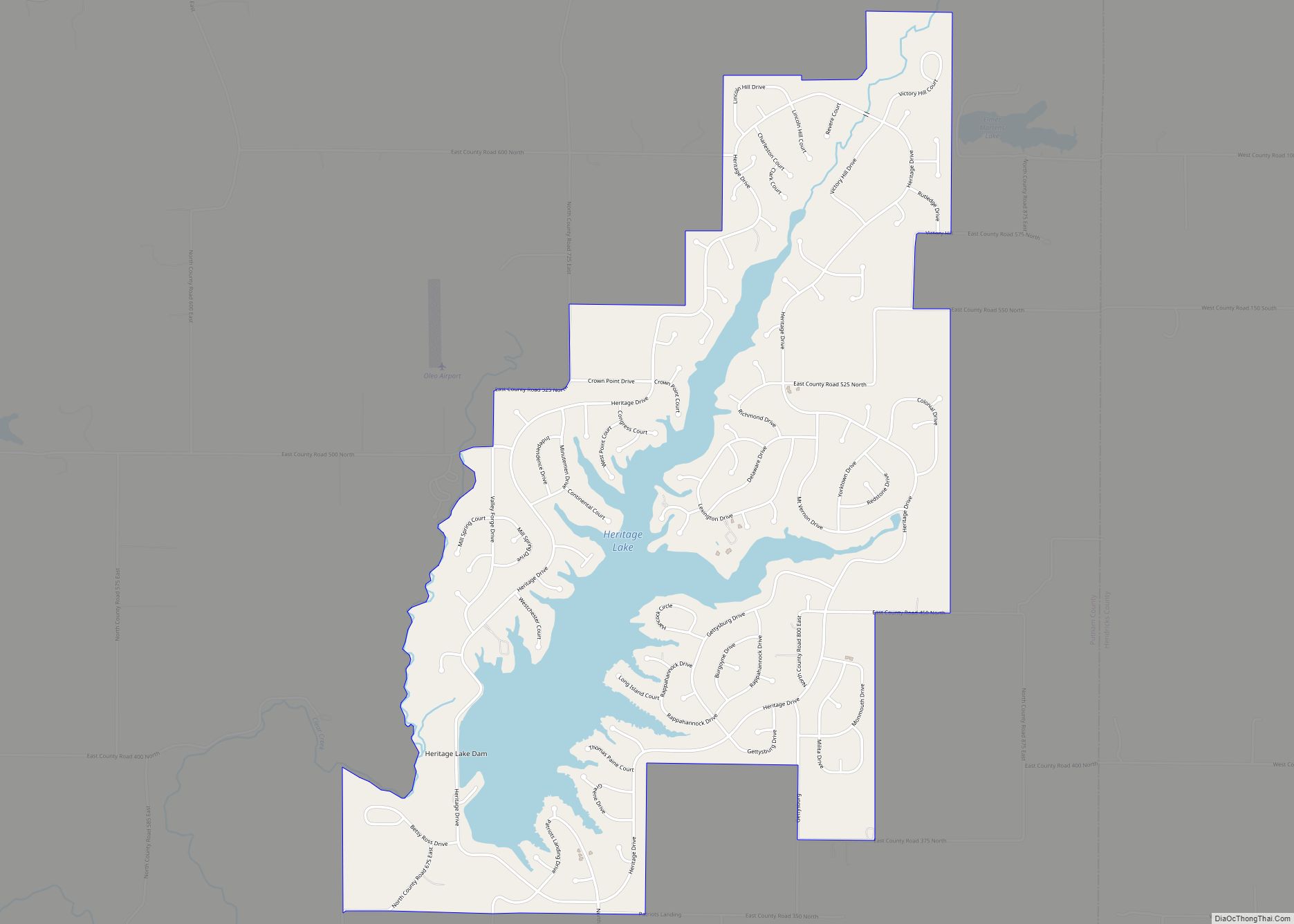
Heritage Lake is an unincorporated community and census-designated place in Floyd Township, Putnam County, in the U.S. state of Indiana. Its population was 2,880 as of the 2010 census. The community is located in eastern Putnam County on the shores of its namesake lake. The lake is 318 acres in size.
| Name: | Heritage Lake CDP |
|---|---|
| LSAD Code: | 57 |
| LSAD Description: | CDP (suffix) |
| State: | Indiana |
| County: | Putnam County |
| Elevation: | 860 ft (262 m) |
| Total Area: | 3.48 sq mi (9.02 km²) |
| Land Area: | 3.01 sq mi (7.80 km²) |
| Water Area: | 0.47 sq mi (1.22 km²) |
| Total Population: | 3,012 |
| Population Density: | 1,000.00/sq mi (386.05/km²) |
| ZIP code: | 46121/46128 |
| Area code: | 765 |
| FIPS code: | 1833187 |
| GNISfeature ID: | 2629900 |
Online Interactive Map
Click on ![]() to view map in "full screen" mode.
to view map in "full screen" mode.
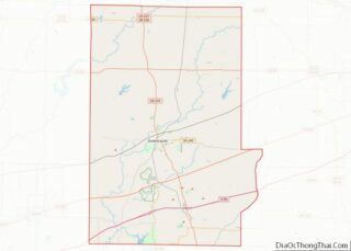
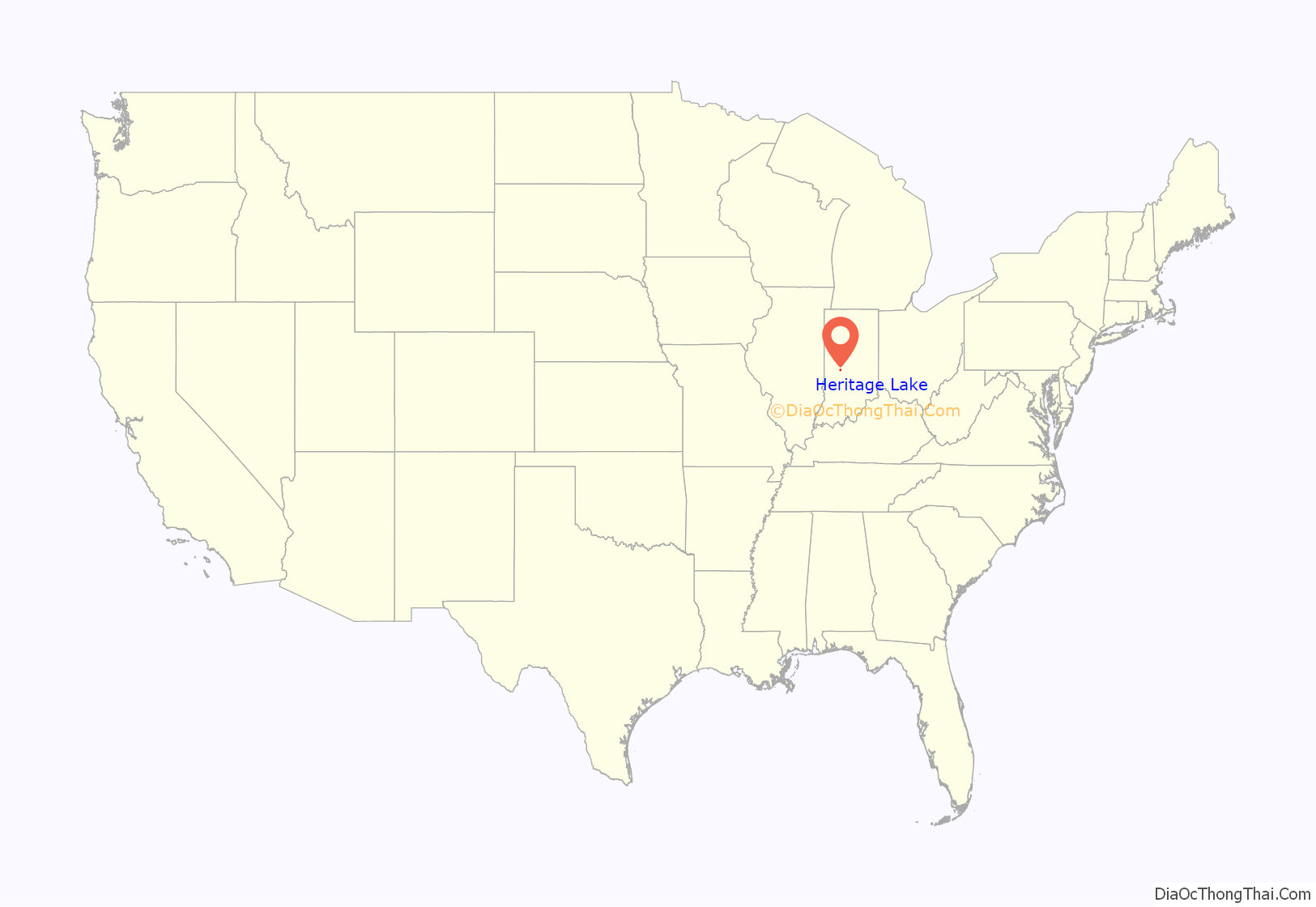
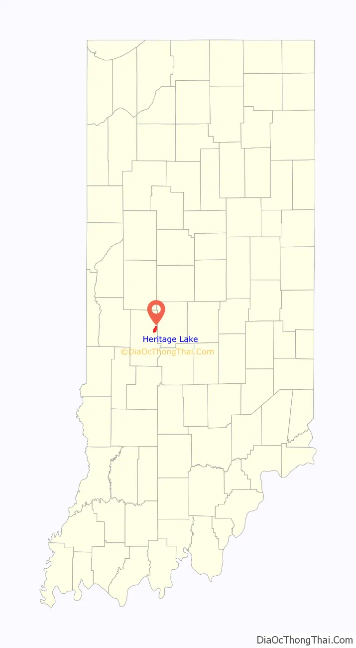
Heritage Lake location map. Where is Heritage Lake CDP?
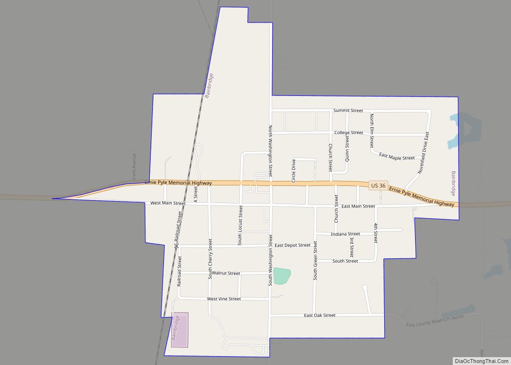
Heritage Lake Road Map
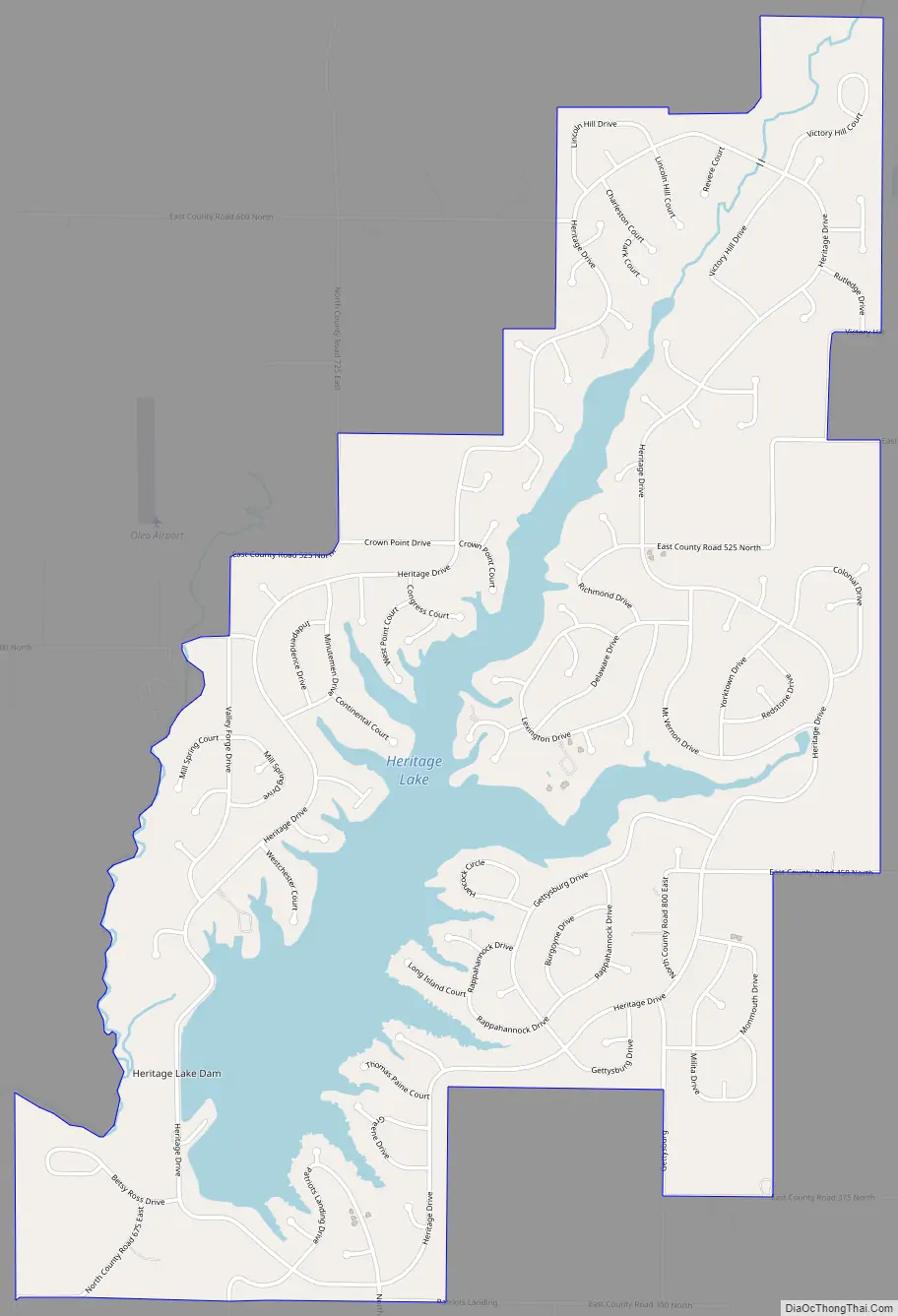
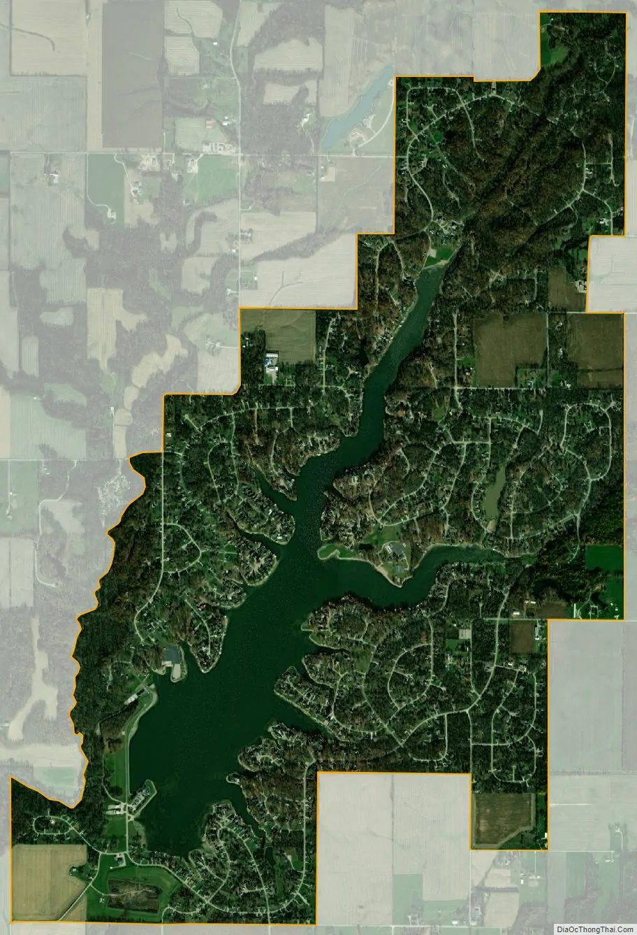
Heritage Lake city Satellite Map
Geography
Heritage Lake is located at 39°43′44″N 86°42′32″W / 39.728837°N 86.708916°W / 39.728837; -86.708916. According to the U.S. Census Bureau, the community has an area of 3.481 square miles (9.02 km), of which 3.012 square miles (7.80 km) is land and 0.469 square miles (1.21 km) is water.
See also
Map of Indiana State and its subdivision:- Adams
- Allen
- Bartholomew
- Benton
- Blackford
- Boone
- Brown
- Carroll
- Cass
- Clark
- Clay
- Clinton
- Crawford
- Daviess
- De Kalb
- Dearborn
- Decatur
- Delaware
- Dubois
- Elkhart
- Fayette
- Floyd
- Fountain
- Franklin
- Fulton
- Gibson
- Grant
- Greene
- Hamilton
- Hancock
- Harrison
- Hendricks
- Henry
- Howard
- Huntington
- Jackson
- Jasper
- Jay
- Jefferson
- Jennings
- Johnson
- Knox
- Kosciusko
- LaGrange
- Lake
- Lake Michigan
- LaPorte
- Lawrence
- Madison
- Marion
- Marshall
- Martin
- Miami
- Monroe
- Montgomery
- Morgan
- Newton
- Noble
- Ohio
- Orange
- Owen
- Parke
- Perry
- Pike
- Porter
- Posey
- Pulaski
- Putnam
- Randolph
- Ripley
- Rush
- Saint Joseph
- Scott
- Shelby
- Spencer
- Starke
- Steuben
- Sullivan
- Switzerland
- Tippecanoe
- Tipton
- Union
- Vanderburgh
- Vermillion
- Vigo
- Wabash
- Warren
- Warrick
- Washington
- Wayne
- Wells
- White
- Whitley
- Alabama
- Alaska
- Arizona
- Arkansas
- California
- Colorado
- Connecticut
- Delaware
- District of Columbia
- Florida
- Georgia
- Hawaii
- Idaho
- Illinois
- Indiana
- Iowa
- Kansas
- Kentucky
- Louisiana
- Maine
- Maryland
- Massachusetts
- Michigan
- Minnesota
- Mississippi
- Missouri
- Montana
- Nebraska
- Nevada
- New Hampshire
- New Jersey
- New Mexico
- New York
- North Carolina
- North Dakota
- Ohio
- Oklahoma
- Oregon
- Pennsylvania
- Rhode Island
- South Carolina
- South Dakota
- Tennessee
- Texas
- Utah
- Vermont
- Virginia
- Washington
- West Virginia
- Wisconsin
- Wyoming