Kouts is a town in Pleasant Township, Porter County, in the U.S. state of Indiana. The population was 2,028 at the 2020 census. Since 2010, Kouts has had a population growth of 7.90 percent.
| Name: | Kouts town |
|---|---|
| LSAD Code: | 43 |
| LSAD Description: | town (suffix) |
| State: | Indiana |
| County: | Porter County |
| Elevation: | 682 ft (208 m) |
| Total Area: | 1.21 sq mi (3.14 km²) |
| Land Area: | 1.21 sq mi (3.14 km²) |
| Water Area: | 0.00 sq mi (0.00 km²) |
| Total Population: | 2,028 |
| Population Density: | 1,671.89/sq mi (645.34/km²) |
| ZIP code: | 46347 |
| Area code: | 219 |
| FIPS code: | 1840518 |
| GNISfeature ID: | 437448 |
| Website: | www.koutsindiana.org |
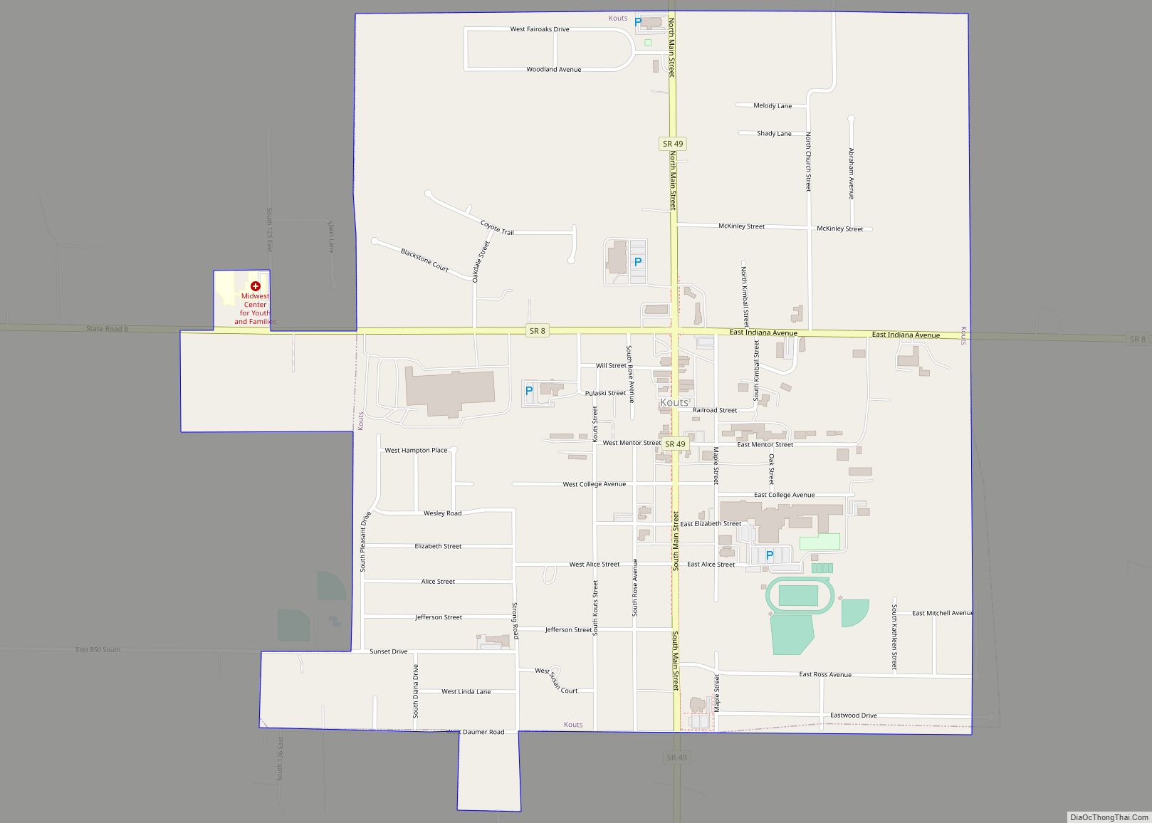
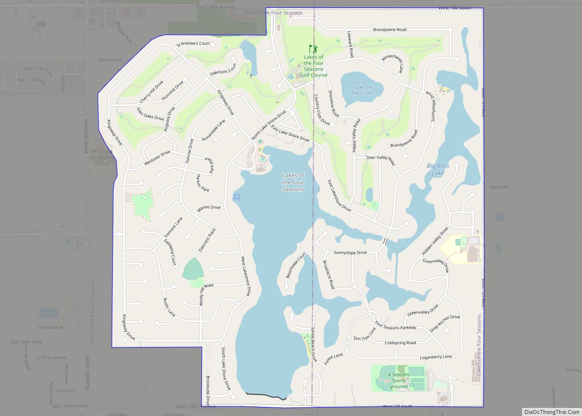
Online Interactive Map
Click on ![]() to view map in "full screen" mode.
to view map in "full screen" mode.
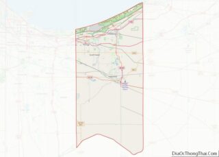
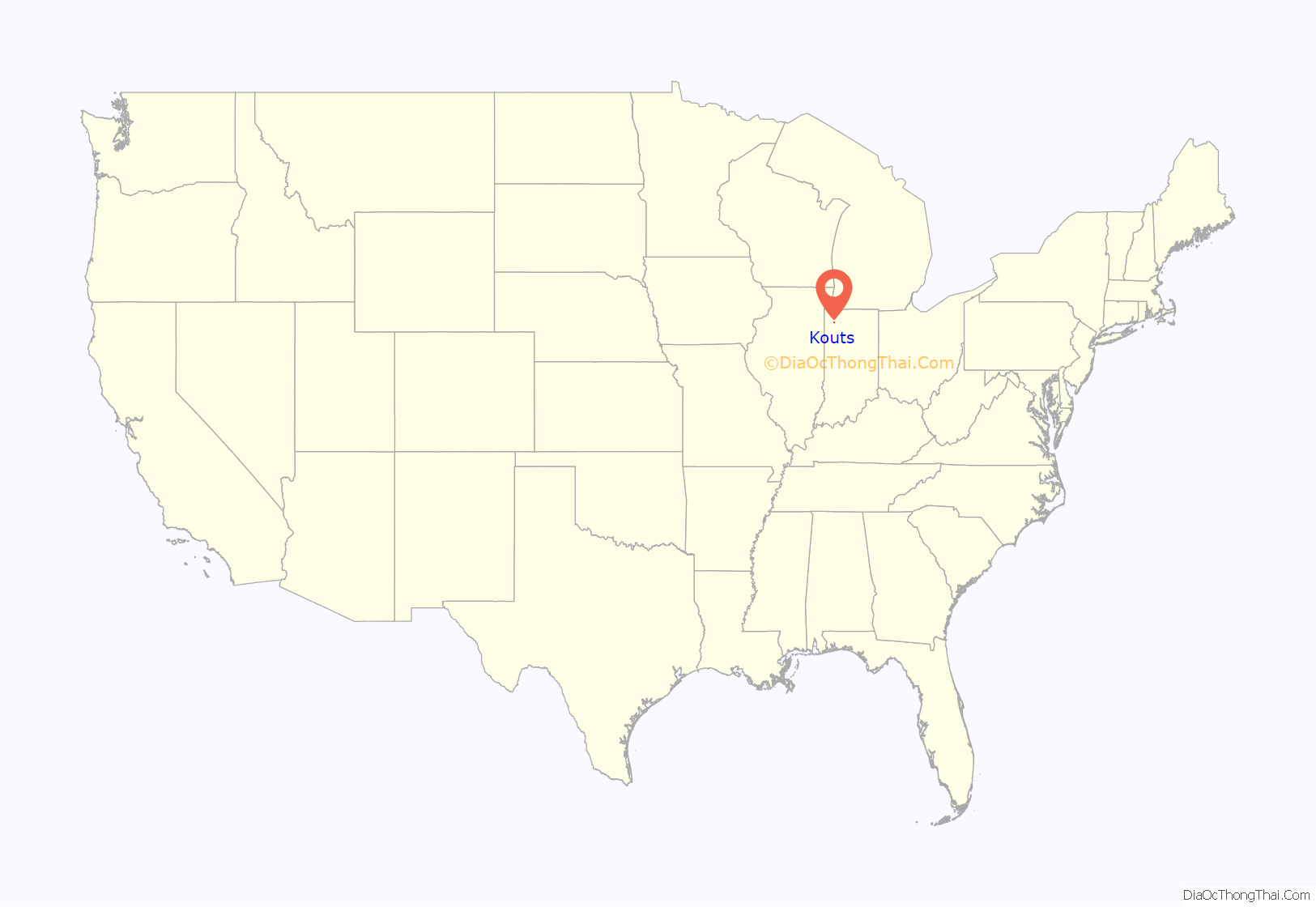
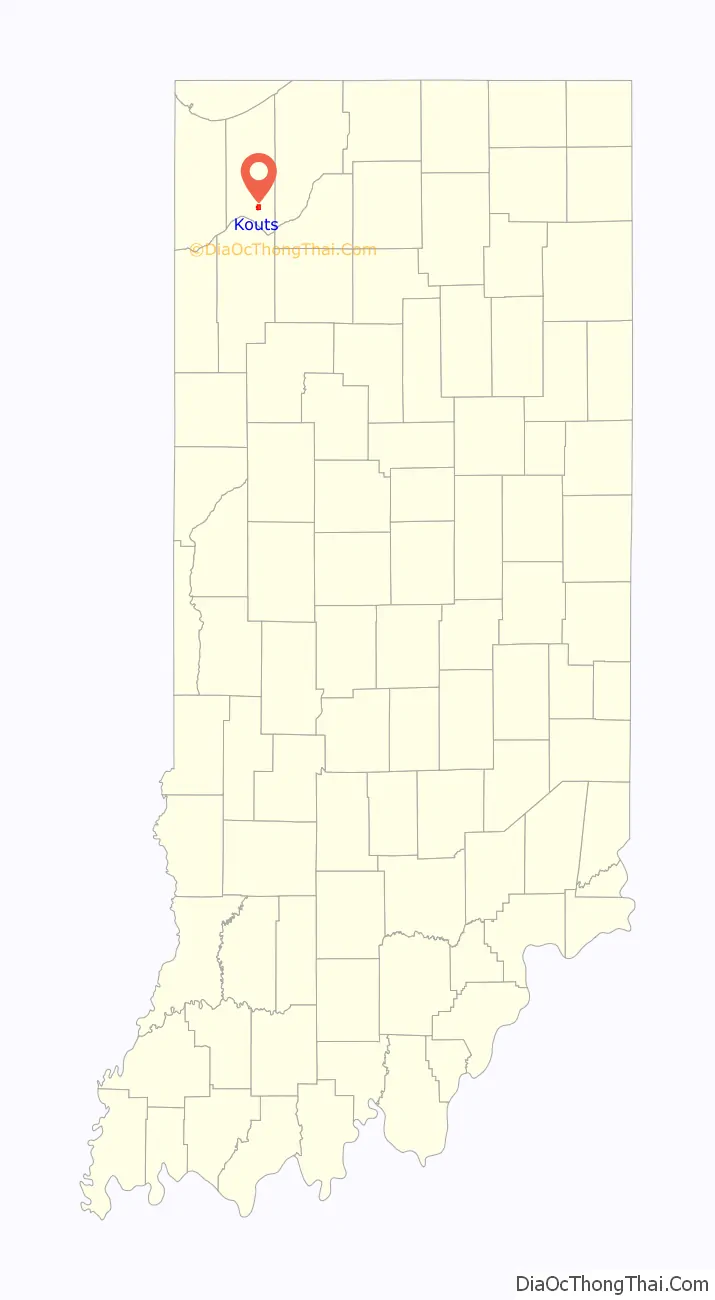
Kouts location map. Where is Kouts town?
History
Bernhardt Kautz moved here from Pennsylvania, before the arrival of the railroads, and established a farm where the town now sits. With the arrival of the Chicago and St. Louis Railway in 1865, Kautz and his brother-in-law H.A. Wright laid out the town and established a store. Known as Kouts Station, the town grew slowly until the Chicago and Erie Railroad intersected the line in Kouts. Soon, Kouts became the social and economic center of the township.
Railroads
Kouts would remain an important railroad town throughout the first half of the 20th century continuing to be served by the Erie Lackawanna Railway and the Pennsylvania Railroad. Railroad traffic in the town began to decline following the bankruptcy of the Pennsylvania Railroad’s successor, the Penn Central and the creation of Conrail. As the also bankrupt Erie Lackawanna would similarly be absorbed into the new company in 1976. The surplus of Conrail track through Kouts would lead to a decline in both traffic and profitability. The passage of the Staggers Rail Act of 1980 allowed for U.S railways to abandon unprofitable lines, which Conrail would take advantage of in Kouts. First with the Erie Lackawanna tracks in 1981 and then the Pennsylvania tracks in 1984. Currently there are little remnants of Kouts railroading past except for the former Pennsylvania Railroad depot which has been converted into a private business.
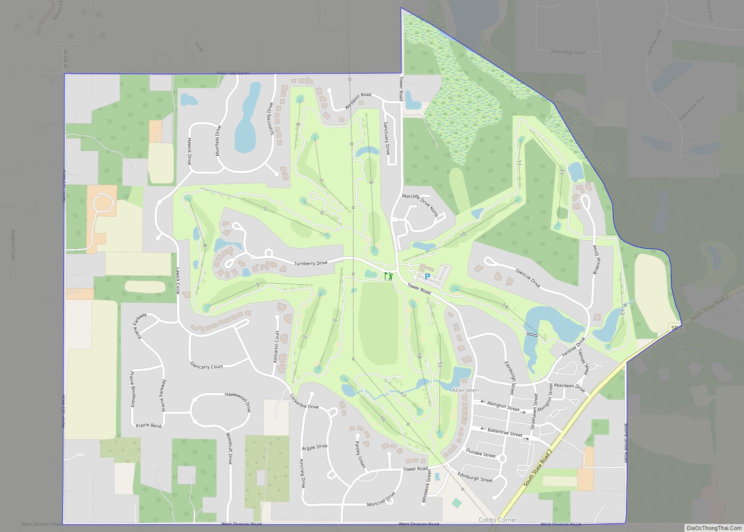
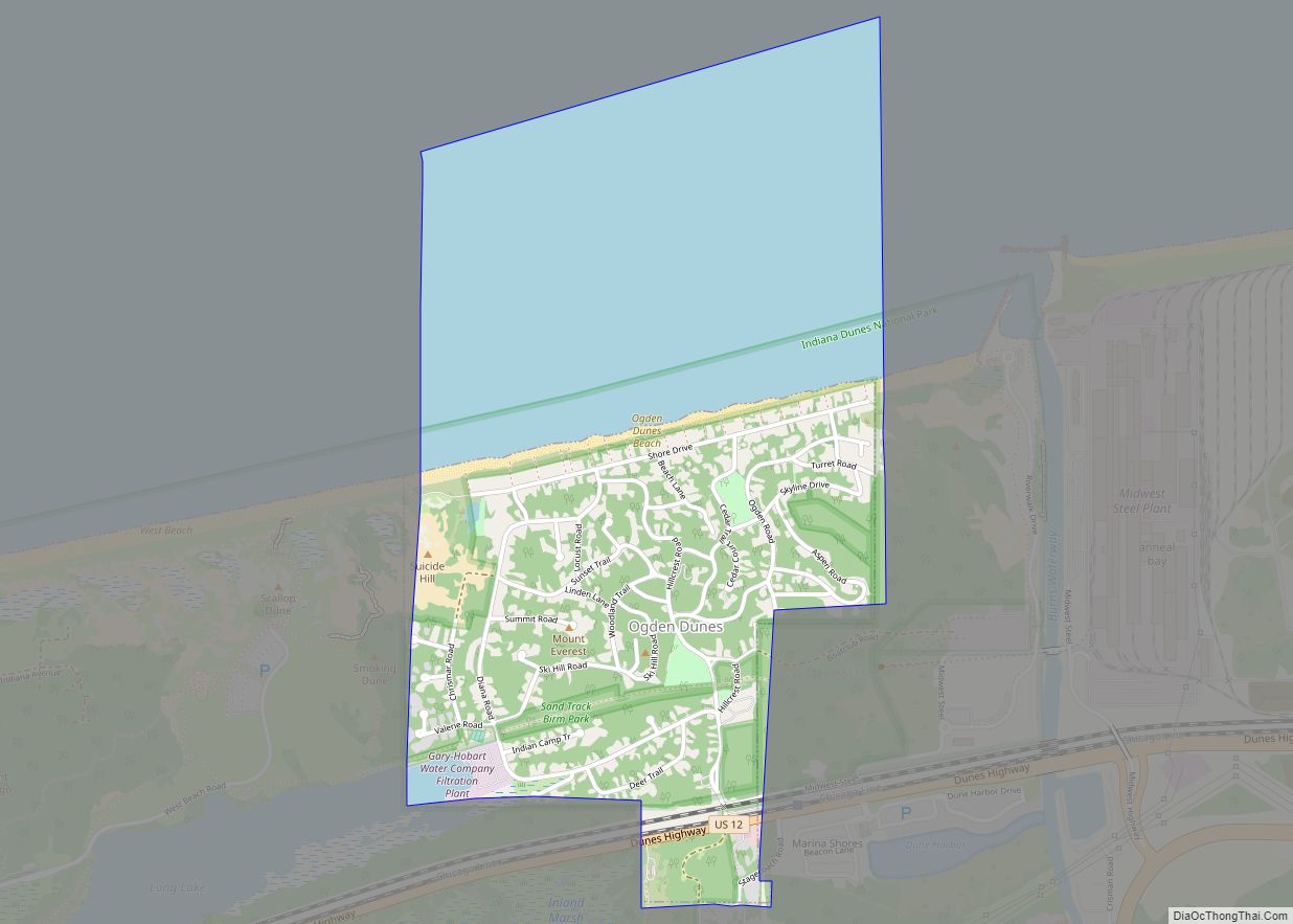
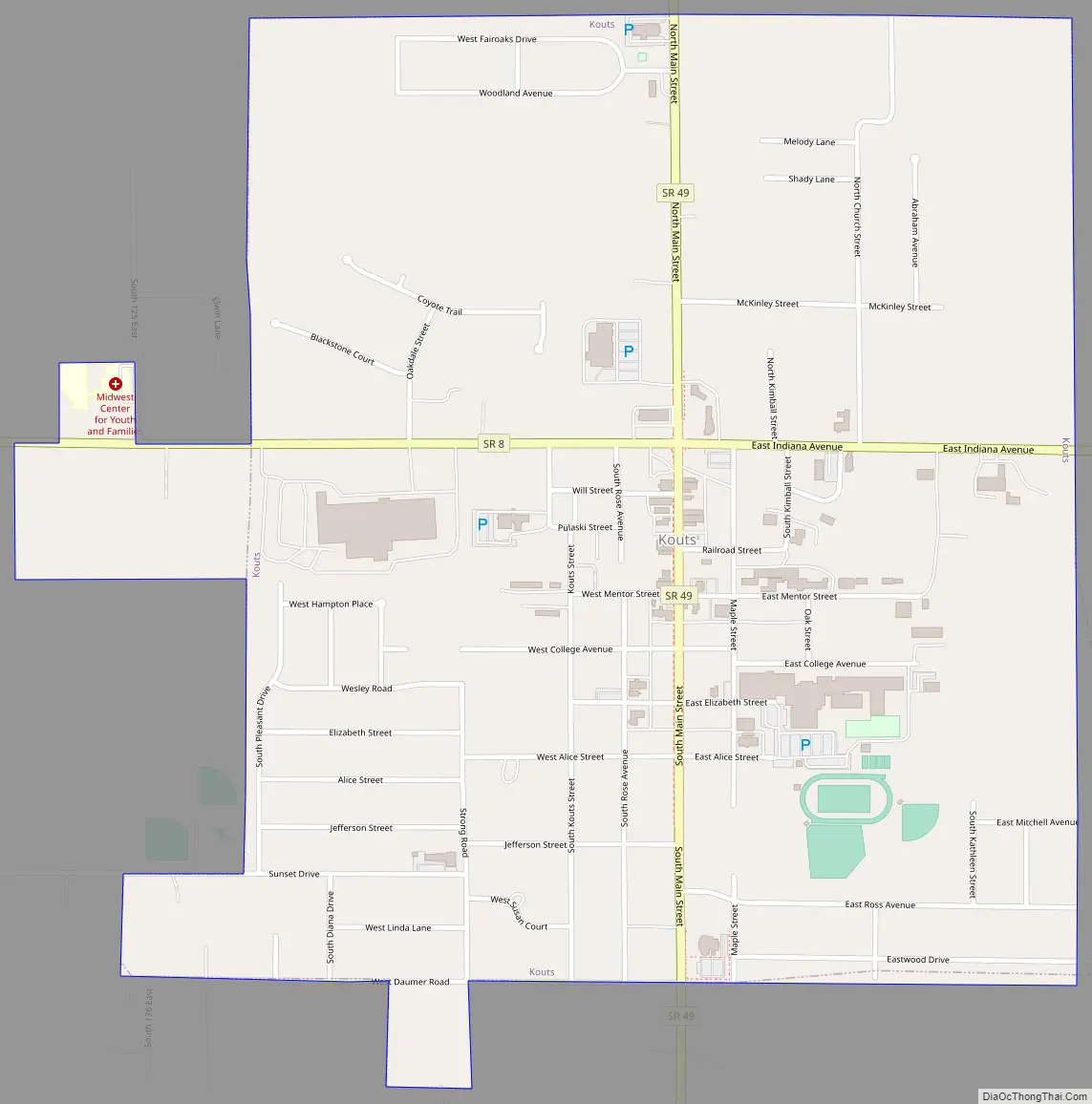
Kouts Road Map
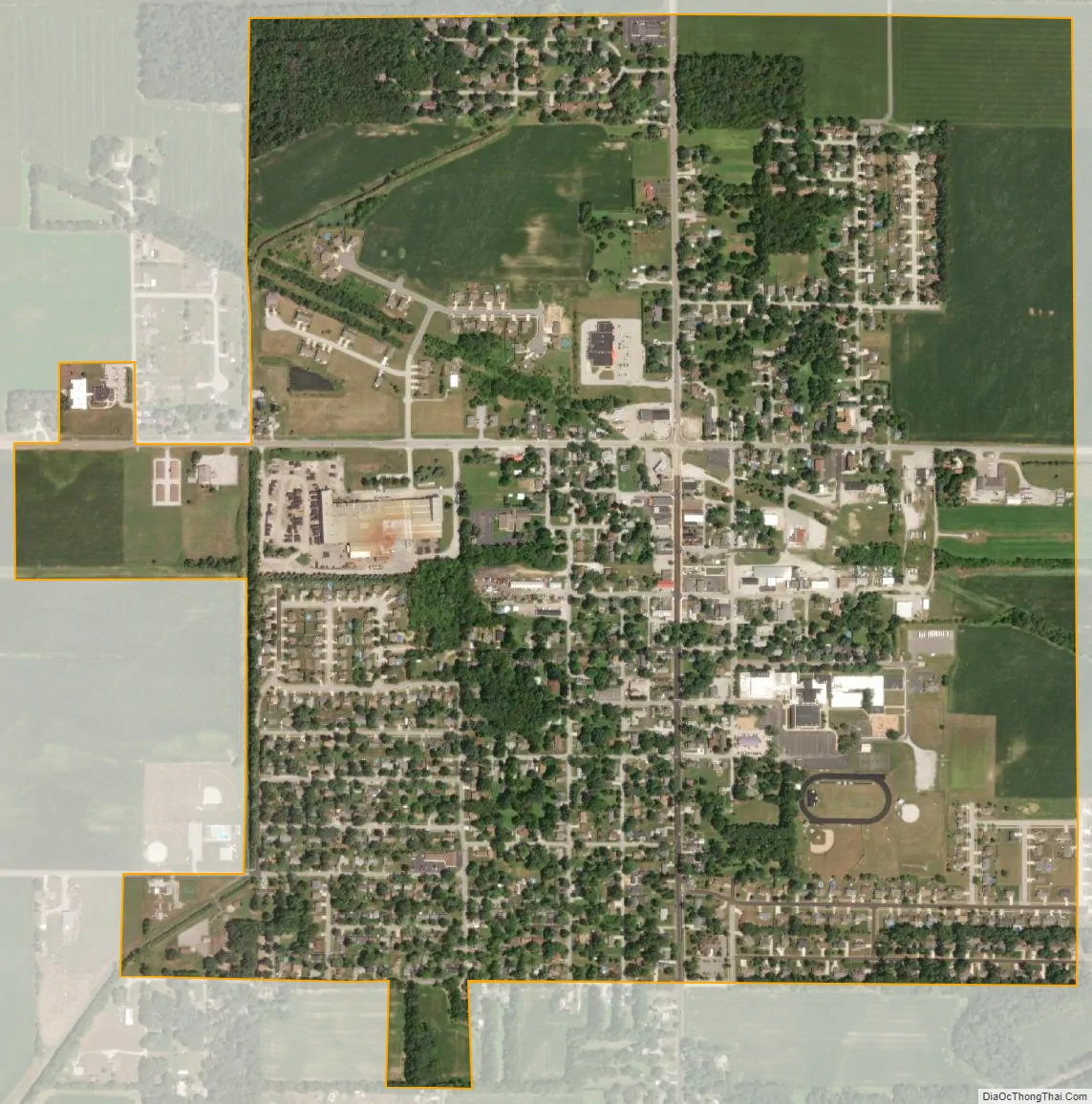
Kouts city Satellite Map
Geography
According to the 2010 census, Kouts has a total area of 1.12 square miles (2.90 km), all land.
See also
Map of Indiana State and its subdivision:- Adams
- Allen
- Bartholomew
- Benton
- Blackford
- Boone
- Brown
- Carroll
- Cass
- Clark
- Clay
- Clinton
- Crawford
- Daviess
- De Kalb
- Dearborn
- Decatur
- Delaware
- Dubois
- Elkhart
- Fayette
- Floyd
- Fountain
- Franklin
- Fulton
- Gibson
- Grant
- Greene
- Hamilton
- Hancock
- Harrison
- Hendricks
- Henry
- Howard
- Huntington
- Jackson
- Jasper
- Jay
- Jefferson
- Jennings
- Johnson
- Knox
- Kosciusko
- LaGrange
- Lake
- Lake Michigan
- LaPorte
- Lawrence
- Madison
- Marion
- Marshall
- Martin
- Miami
- Monroe
- Montgomery
- Morgan
- Newton
- Noble
- Ohio
- Orange
- Owen
- Parke
- Perry
- Pike
- Porter
- Posey
- Pulaski
- Putnam
- Randolph
- Ripley
- Rush
- Saint Joseph
- Scott
- Shelby
- Spencer
- Starke
- Steuben
- Sullivan
- Switzerland
- Tippecanoe
- Tipton
- Union
- Vanderburgh
- Vermillion
- Vigo
- Wabash
- Warren
- Warrick
- Washington
- Wayne
- Wells
- White
- Whitley
- Alabama
- Alaska
- Arizona
- Arkansas
- California
- Colorado
- Connecticut
- Delaware
- District of Columbia
- Florida
- Georgia
- Hawaii
- Idaho
- Illinois
- Indiana
- Iowa
- Kansas
- Kentucky
- Louisiana
- Maine
- Maryland
- Massachusetts
- Michigan
- Minnesota
- Mississippi
- Missouri
- Montana
- Nebraska
- Nevada
- New Hampshire
- New Jersey
- New Mexico
- New York
- North Carolina
- North Dakota
- Ohio
- Oklahoma
- Oregon
- Pennsylvania
- Rhode Island
- South Carolina
- South Dakota
- Tennessee
- Texas
- Utah
- Vermont
- Virginia
- Washington
- West Virginia
- Wisconsin
- Wyoming