Matthews is a town in Jefferson Township, Grant County, Indiana, United States, along the Mississinewa River. The population was 596 at the 2010 census.
| Name: | Matthews town |
|---|---|
| LSAD Code: | 43 |
| LSAD Description: | town (suffix) |
| State: | Indiana |
| County: | Grant County |
| Elevation: | 879 ft (268 m) |
| Total Area: | 0.35 sq mi (0.91 km²) |
| Land Area: | 0.35 sq mi (0.91 km²) |
| Water Area: | 0.00 sq mi (0.00 km²) |
| Total Population: | 494 |
| Population Density: | 1,403.41/sq mi (541.28/km²) |
| ZIP code: | 46957 |
| Area code: | 765 |
| FIPS code: | 1847592 |
| GNISfeature ID: | 0438731 |
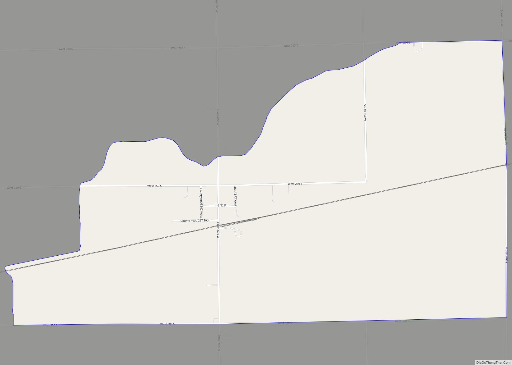
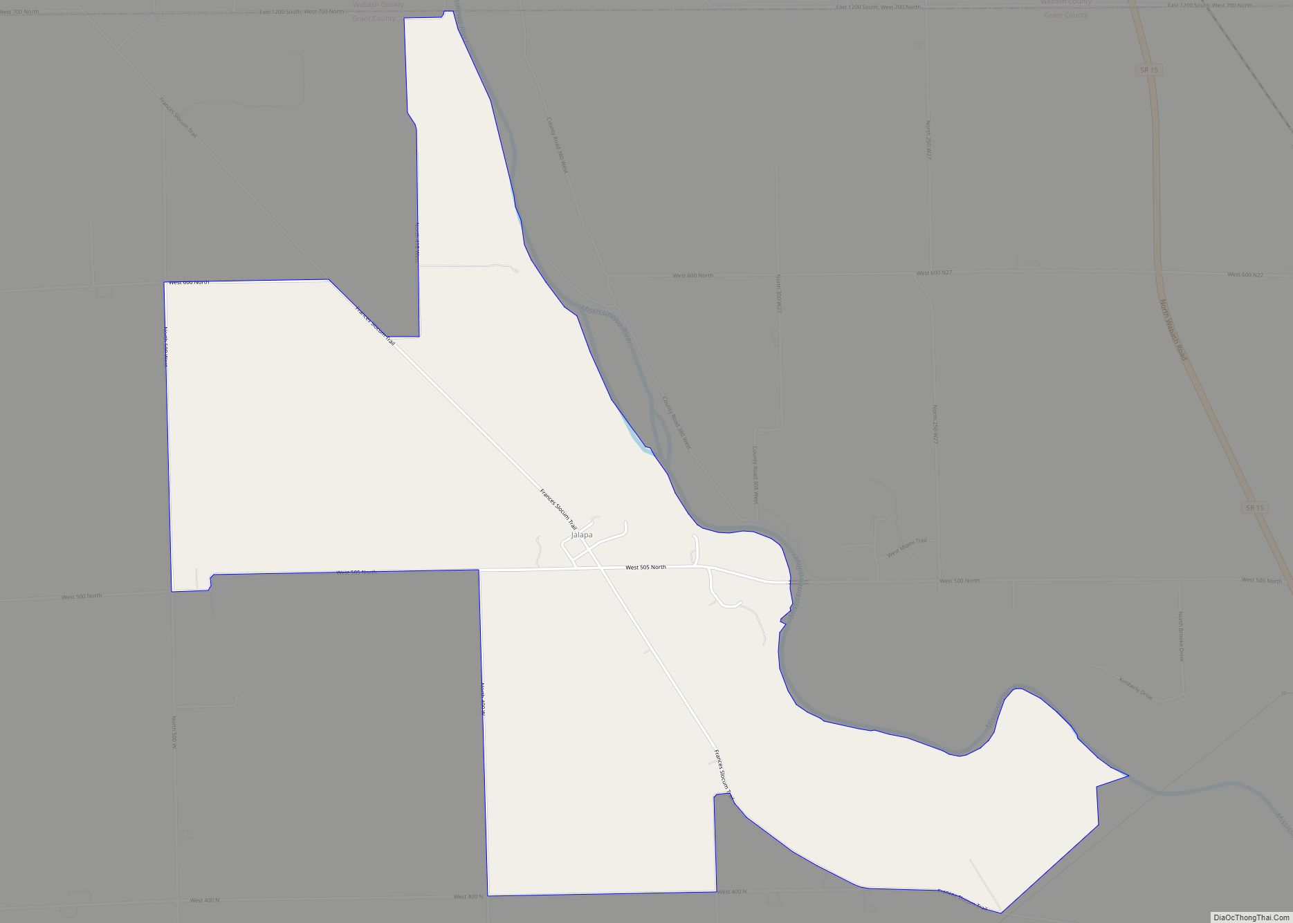
Online Interactive Map
Click on ![]() to view map in "full screen" mode.
to view map in "full screen" mode.
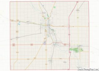
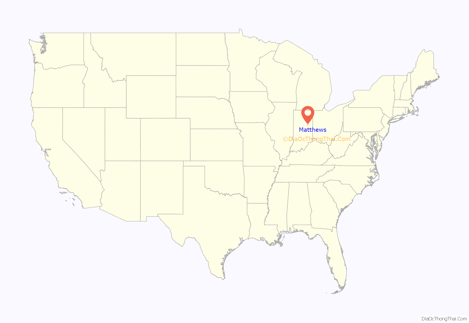
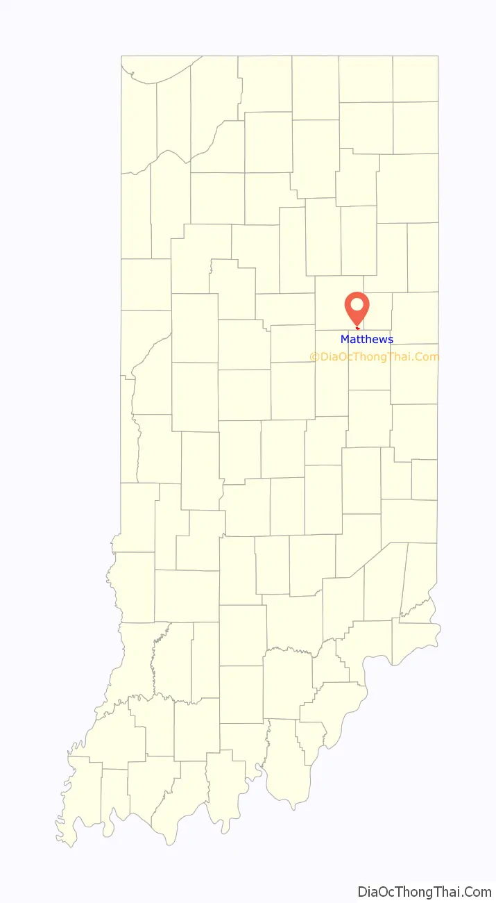
Matthews location map. Where is Matthews town?
History
Matthews was founded in 1895 and named in honor of then-governor Claude Matthews. Founders located the town near the center of the Trenton Gas Field, and it was hoped that this geographically central location could become the future capital of Indiana, moving it from Indianapolis, which had been laid out for that specific reason less than one hundred years earlier in 1825. The plan was abandoned in 1903 when the gas field was depleted, leaving the town with a main street unusually wide for its size.
Matthews was placed near an older village called New Cumberland, founded in 1833. Now the “old town” of Matthews, the village has a wooden covered bridge, the Cumberland Covered Bridge, built in 1877 which crosses the Mississinewa River. This bridge is the centerpiece of the town’s annual festival and draws thousands of people every year.
Historic sites
The Cumberland Covered Bridge was built in 1877, and is 181 feet (55 m) long. It was originally named the New Cumberland Bridge and was built by a man named William Parks. It was flooded 0.5 miles (0.80 km) down the Mississinewa River in the 1913 flood. It was brought back on logs rolled by horses. The foundation was raised 33 feet (10 m) and has been stable since. It was listed on the National Register of Historic Places in 1978.
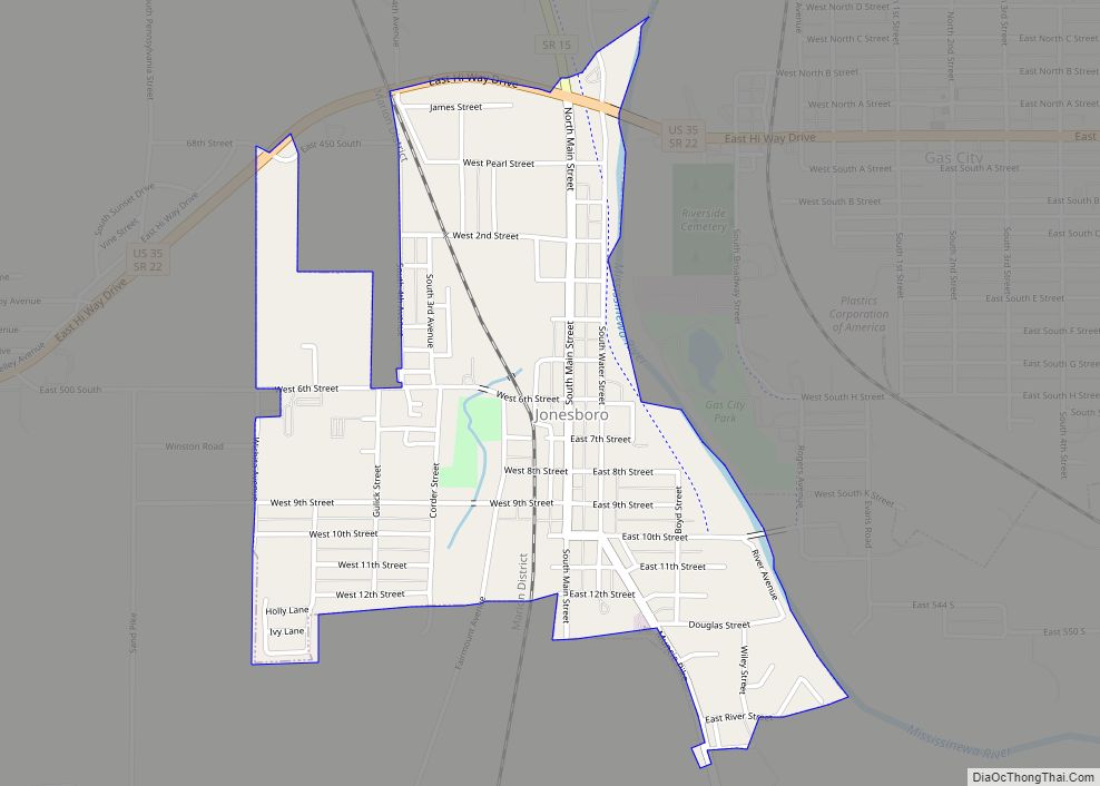
Matthews Road Map
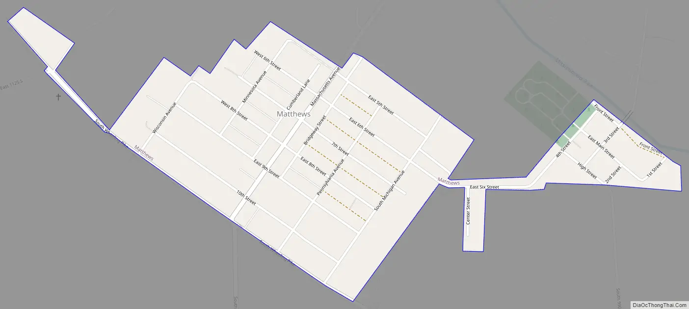
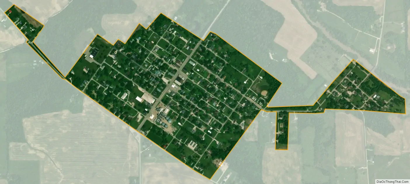
Matthews city Satellite Map
Geography
Matthews is located at 40°23′13″N 85°29′45″W / 40.38694°N 85.49583°W / 40.38694; -85.49583 (40.387048, -85.495930).
According to the 2010 census, Matthews has a total area of 0.35 square miles (0.91 km), all land.
See also
Map of Indiana State and its subdivision:- Adams
- Allen
- Bartholomew
- Benton
- Blackford
- Boone
- Brown
- Carroll
- Cass
- Clark
- Clay
- Clinton
- Crawford
- Daviess
- De Kalb
- Dearborn
- Decatur
- Delaware
- Dubois
- Elkhart
- Fayette
- Floyd
- Fountain
- Franklin
- Fulton
- Gibson
- Grant
- Greene
- Hamilton
- Hancock
- Harrison
- Hendricks
- Henry
- Howard
- Huntington
- Jackson
- Jasper
- Jay
- Jefferson
- Jennings
- Johnson
- Knox
- Kosciusko
- LaGrange
- Lake
- Lake Michigan
- LaPorte
- Lawrence
- Madison
- Marion
- Marshall
- Martin
- Miami
- Monroe
- Montgomery
- Morgan
- Newton
- Noble
- Ohio
- Orange
- Owen
- Parke
- Perry
- Pike
- Porter
- Posey
- Pulaski
- Putnam
- Randolph
- Ripley
- Rush
- Saint Joseph
- Scott
- Shelby
- Spencer
- Starke
- Steuben
- Sullivan
- Switzerland
- Tippecanoe
- Tipton
- Union
- Vanderburgh
- Vermillion
- Vigo
- Wabash
- Warren
- Warrick
- Washington
- Wayne
- Wells
- White
- Whitley
- Alabama
- Alaska
- Arizona
- Arkansas
- California
- Colorado
- Connecticut
- Delaware
- District of Columbia
- Florida
- Georgia
- Hawaii
- Idaho
- Illinois
- Indiana
- Iowa
- Kansas
- Kentucky
- Louisiana
- Maine
- Maryland
- Massachusetts
- Michigan
- Minnesota
- Mississippi
- Missouri
- Montana
- Nebraska
- Nevada
- New Hampshire
- New Jersey
- New Mexico
- New York
- North Carolina
- North Dakota
- Ohio
- Oklahoma
- Oregon
- Pennsylvania
- Rhode Island
- South Carolina
- South Dakota
- Tennessee
- Texas
- Utah
- Vermont
- Virginia
- Washington
- West Virginia
- Wisconsin
- Wyoming