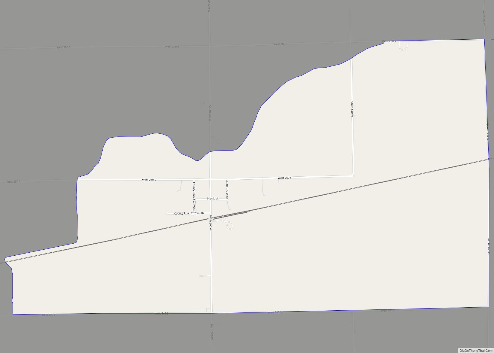
Mier is an unincorporated community and census-designated place (CDP) in Richland Township, Grant County, Indiana, in the United States. As of the 2010 census it had a population of 78.
| Name: | Mier CDP |
|---|---|
| LSAD Code: | 57 |
| LSAD Description: | CDP (suffix) |
| State: | Indiana |
| County: | Grant County |
| Elevation: | 820 ft (250 m) |
| Total Area: | 0.24 sq mi (0.62 km²) |
| Land Area: | 0.24 sq mi (0.62 km²) |
| Water Area: | 0.00 sq mi (0.00 km²) |
| Total Population: | 67 |
| Population Density: | 280.33/sq mi (108.12/km²) |
| FIPS code: | 1849212 |
| GNISfeature ID: | 439130 |
Online Interactive Map
Click on ![]() to view map in "full screen" mode.
to view map in "full screen" mode.
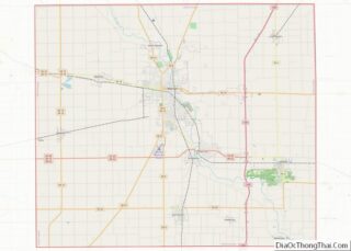
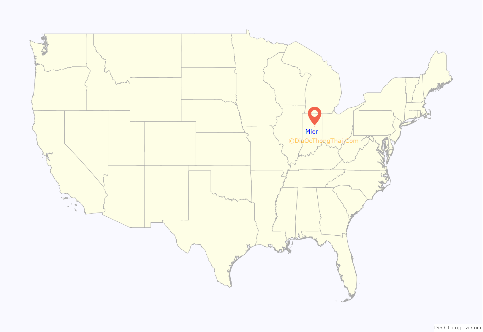
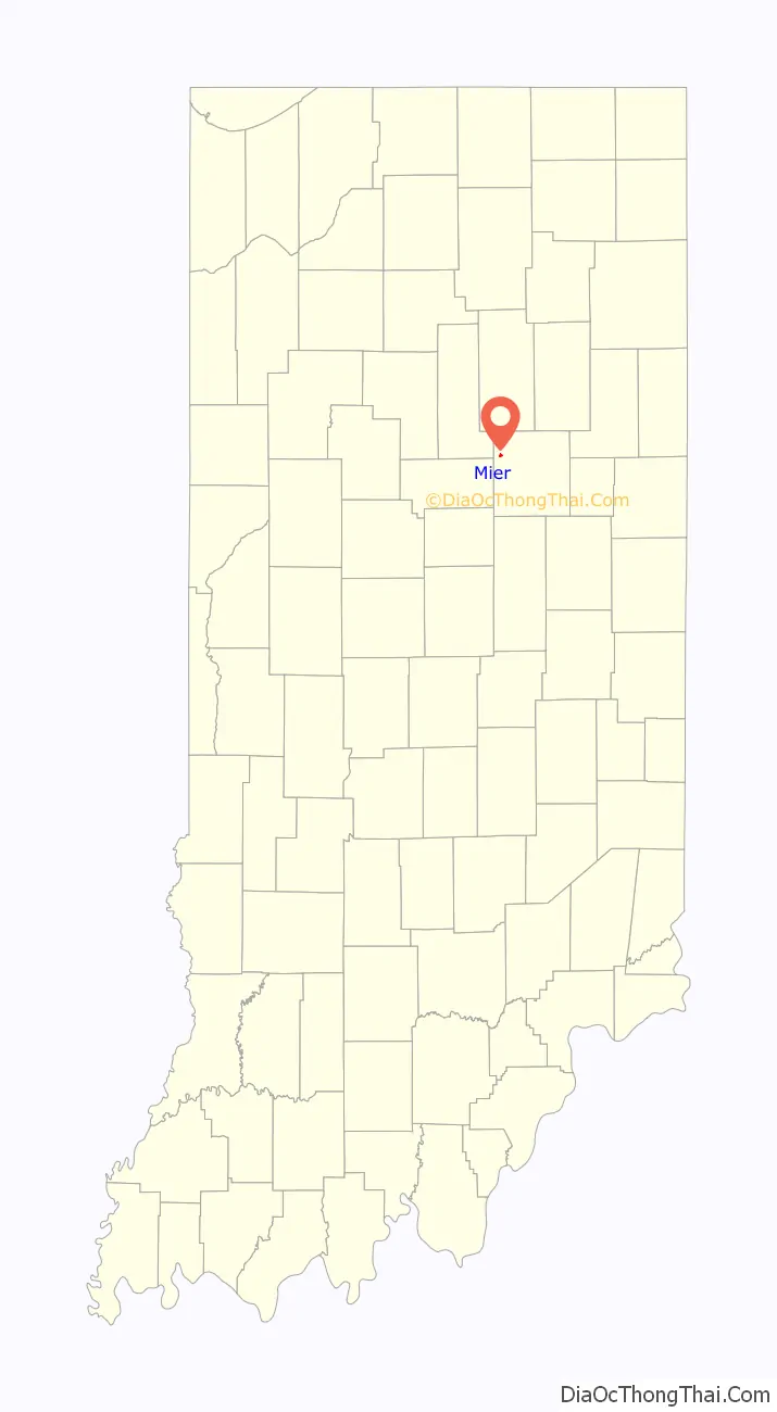
Mier location map. Where is Mier CDP?
History
The community was named after Ciudad Mier, in Mexico. A post office was established at Mier in 1849, and remained in operation until it was discontinued in 1928.
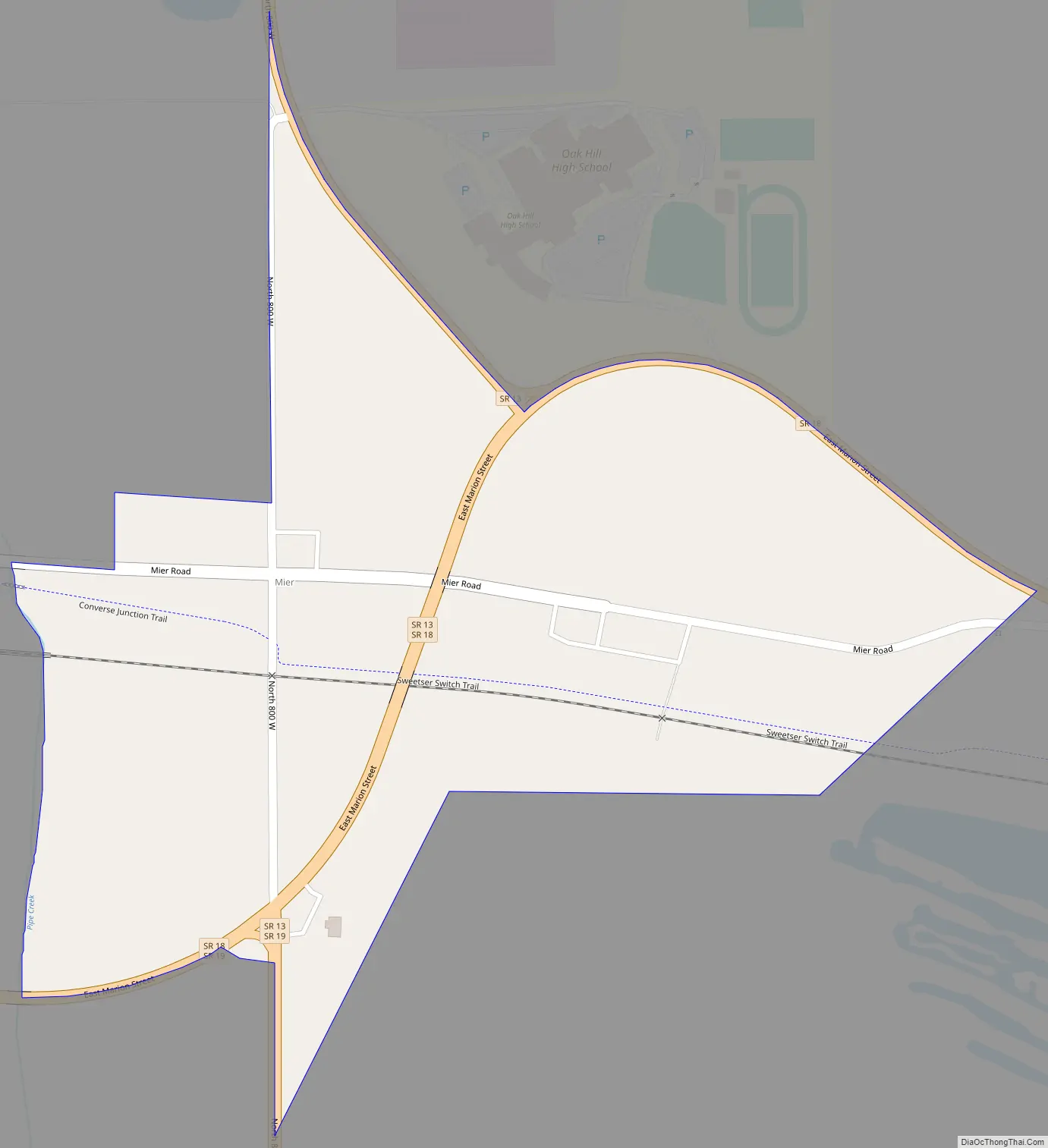
Mier Road Map
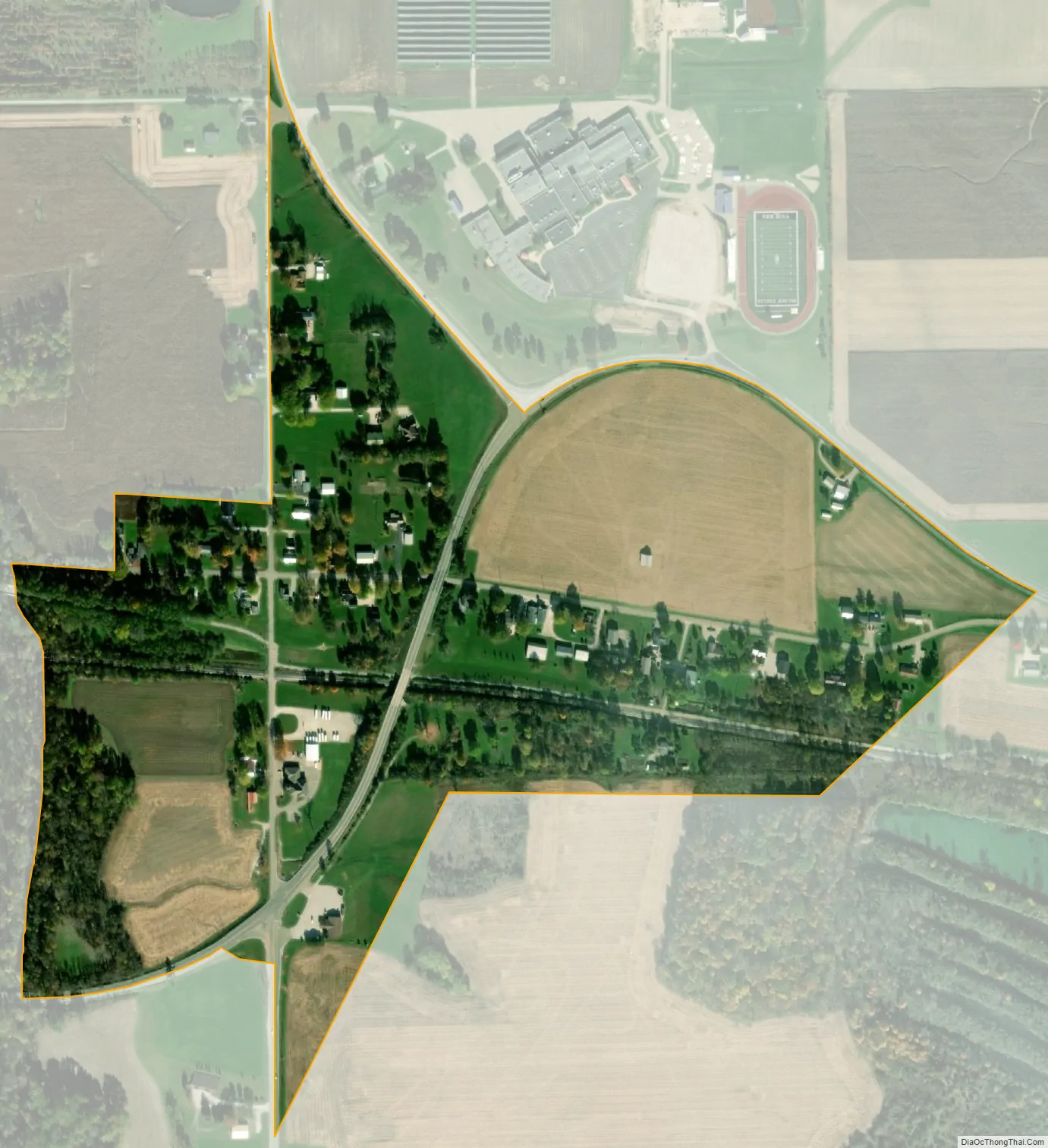
Mier city Satellite Map
Geography
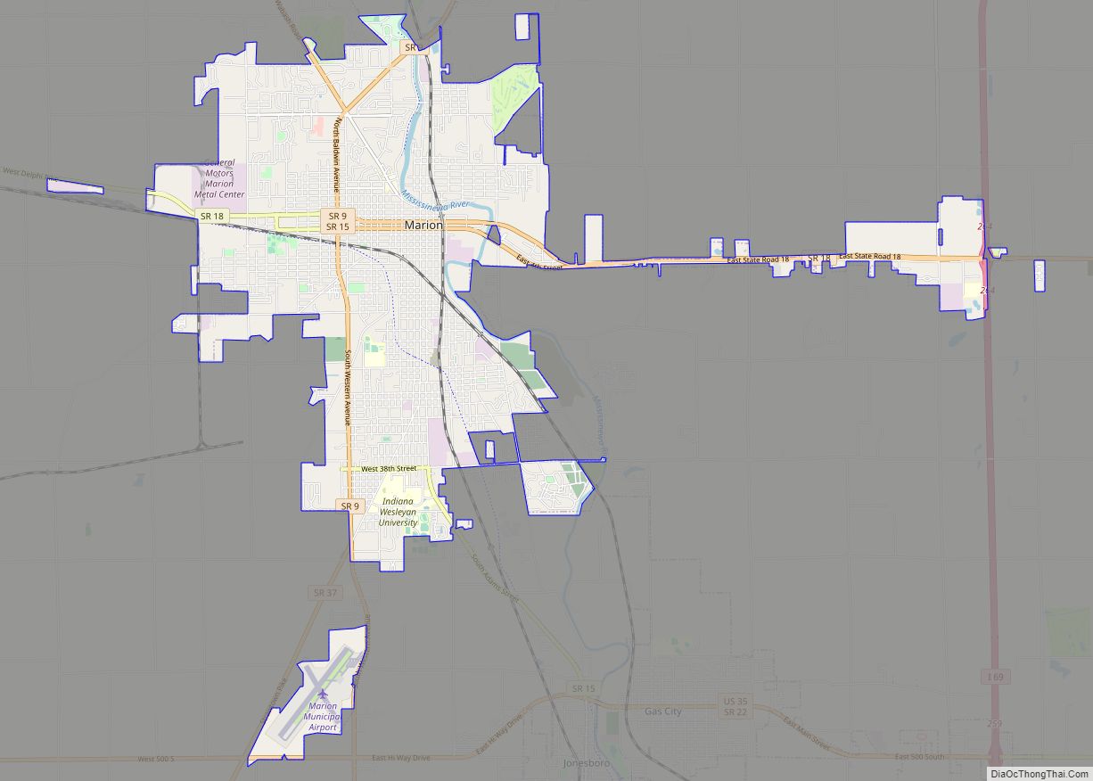
Mier is located in northwestern Grant County, crossed by State Roads 13, 18, and 19. State Road 18 leads east 3 miles (5 km) to Sweetser and west 2.5 miles (4.0 km) to Converse, while State Road 13 leads north 6.5 miles (10.5 km) to Somerset and south 4.5 miles (7.2 km) to Swayzee. State Road 19 follows State Road 13 south from Mier and State Road 18 west from it. Marion, the Grant County seat, is 9 miles (14 km) to the east via State Road 18.
According to the U.S. Census Bureau, the Mier CDP has an area of 0.23 square miles (0.6 km), all of it land.
See also
Map of Indiana State and its subdivision:- Adams
- Allen
- Bartholomew
- Benton
- Blackford
- Boone
- Brown
- Carroll
- Cass
- Clark
- Clay
- Clinton
- Crawford
- Daviess
- De Kalb
- Dearborn
- Decatur
- Delaware
- Dubois
- Elkhart
- Fayette
- Floyd
- Fountain
- Franklin
- Fulton
- Gibson
- Grant
- Greene
- Hamilton
- Hancock
- Harrison
- Hendricks
- Henry
- Howard
- Huntington
- Jackson
- Jasper
- Jay
- Jefferson
- Jennings
- Johnson
- Knox
- Kosciusko
- LaGrange
- Lake
- Lake Michigan
- LaPorte
- Lawrence
- Madison
- Marion
- Marshall
- Martin
- Miami
- Monroe
- Montgomery
- Morgan
- Newton
- Noble
- Ohio
- Orange
- Owen
- Parke
- Perry
- Pike
- Porter
- Posey
- Pulaski
- Putnam
- Randolph
- Ripley
- Rush
- Saint Joseph
- Scott
- Shelby
- Spencer
- Starke
- Steuben
- Sullivan
- Switzerland
- Tippecanoe
- Tipton
- Union
- Vanderburgh
- Vermillion
- Vigo
- Wabash
- Warren
- Warrick
- Washington
- Wayne
- Wells
- White
- Whitley
- Alabama
- Alaska
- Arizona
- Arkansas
- California
- Colorado
- Connecticut
- Delaware
- District of Columbia
- Florida
- Georgia
- Hawaii
- Idaho
- Illinois
- Indiana
- Iowa
- Kansas
- Kentucky
- Louisiana
- Maine
- Maryland
- Massachusetts
- Michigan
- Minnesota
- Mississippi
- Missouri
- Montana
- Nebraska
- Nevada
- New Hampshire
- New Jersey
- New Mexico
- New York
- North Carolina
- North Dakota
- Ohio
- Oklahoma
- Oregon
- Pennsylvania
- Rhode Island
- South Carolina
- South Dakota
- Tennessee
- Texas
- Utah
- Vermont
- Virginia
- Washington
- West Virginia
- Wisconsin
- Wyoming