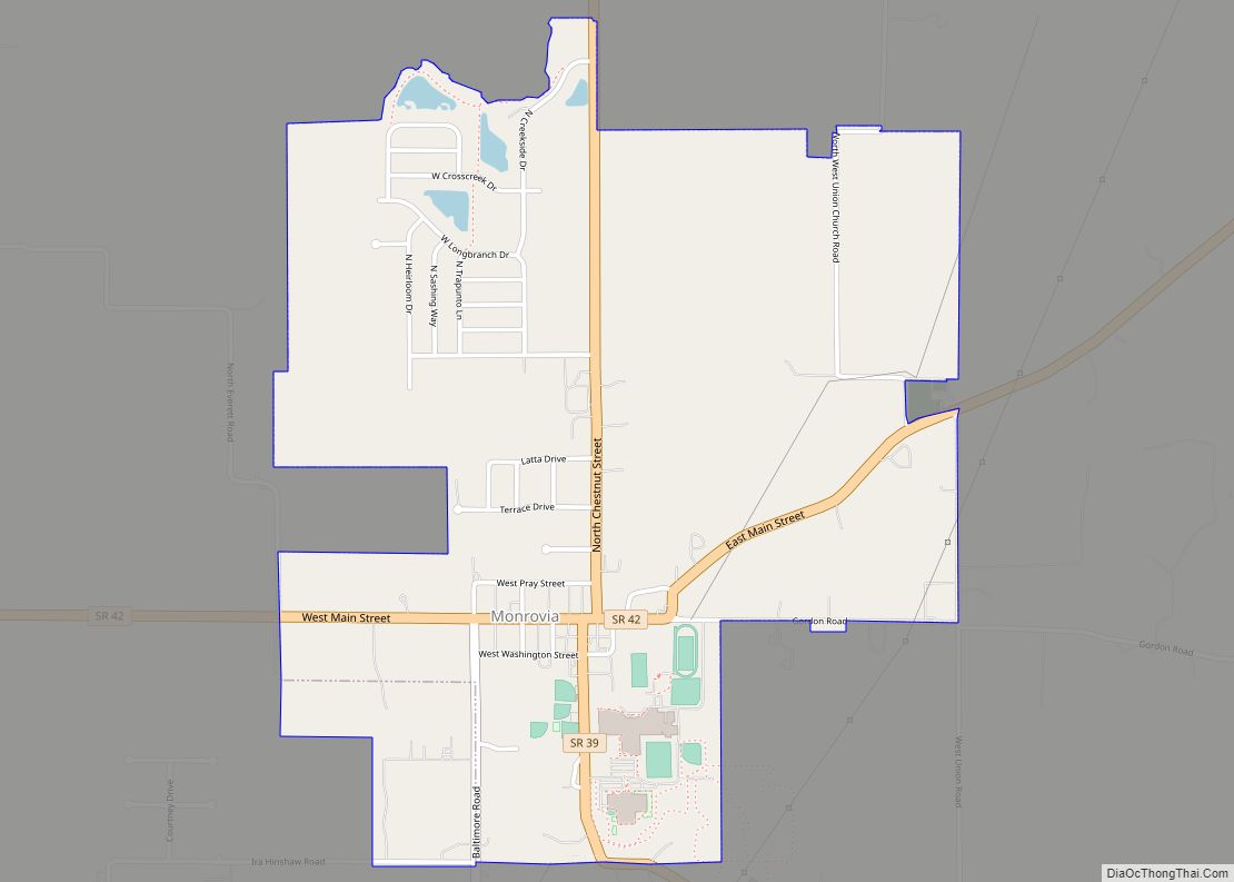
Monrovia is a town in Monroe Township, Morgan County, in the U.S. state of Indiana. The population was 1,643 at the 2020 census, up from 1,063 in 2010.
| Name: | Monrovia town |
|---|---|
| LSAD Code: | 43 |
| LSAD Description: | town (suffix) |
| State: | Indiana |
| County: | Morgan County |
| Elevation: | 804 ft (245 m) |
| Total Area: | 1.80 sq mi (4.65 km²) |
| Land Area: | 1.80 sq mi (4.65 km²) |
| Water Area: | 0.00 sq mi (0.00 km²) |
| Total Population: | 1,643 |
| Population Density: | 915.32/sq mi (353.37/km²) |
| ZIP code: | 46157 |
| Area code: | 317, 463 |
| FIPS code: | 1850580 |
| GNISfeature ID: | 439349 |
| Website: | monrovia.in.gov |
Online Interactive Map
Click on ![]() to view map in "full screen" mode.
to view map in "full screen" mode.
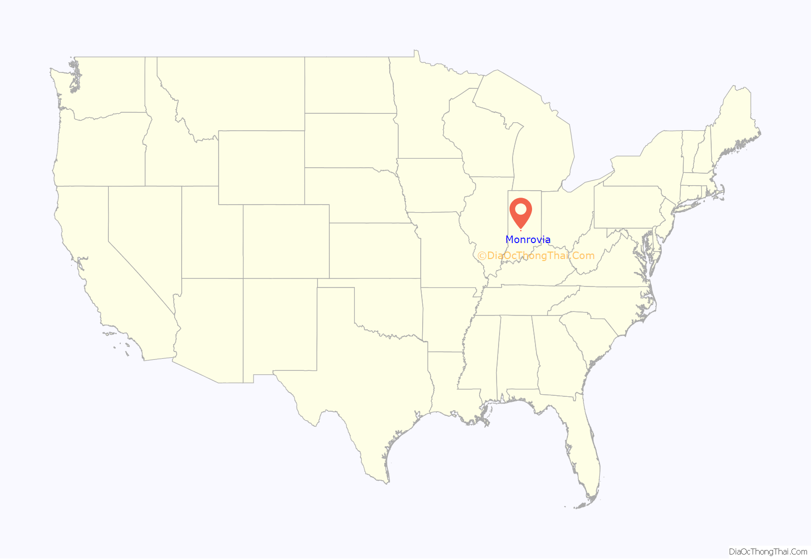
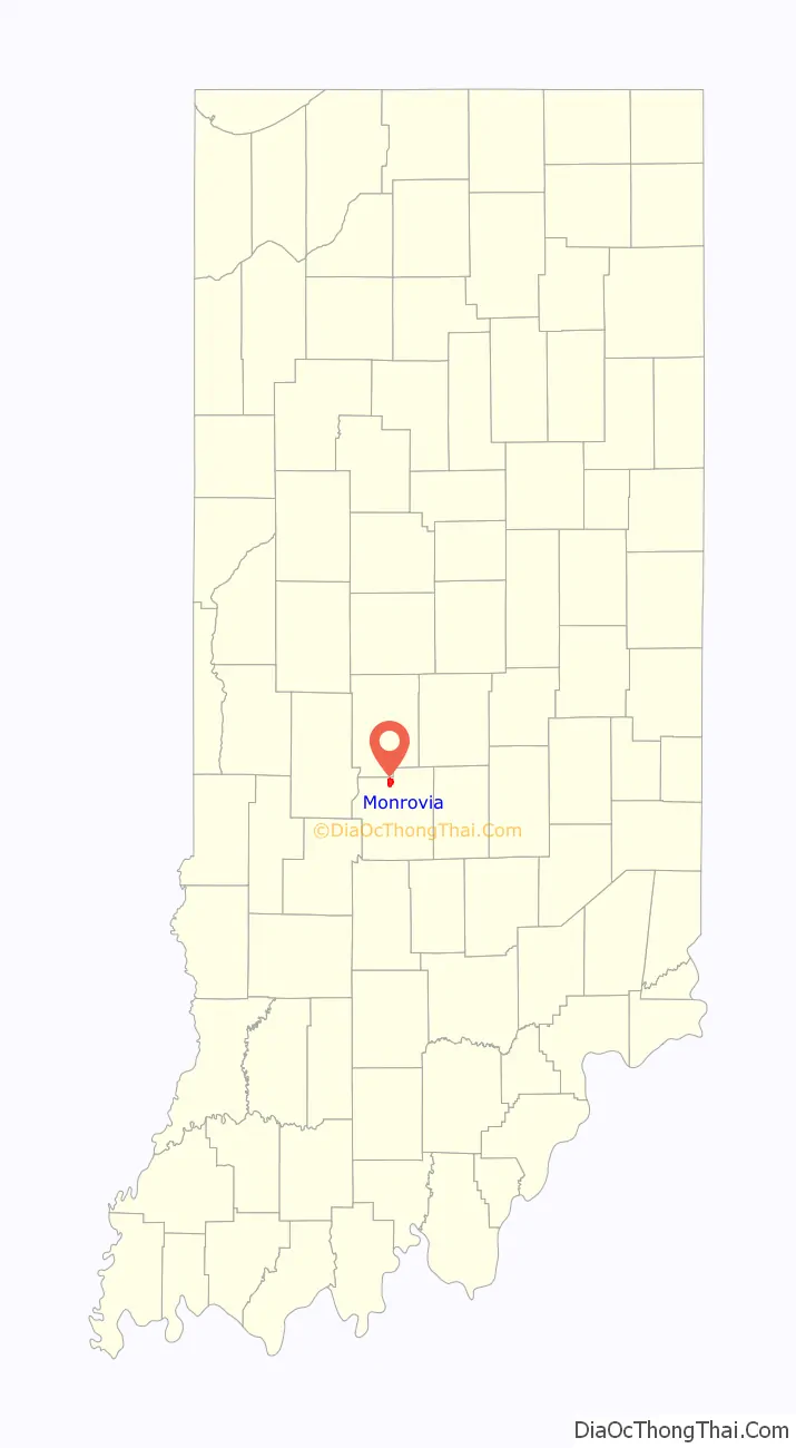
Monrovia location map. Where is Monrovia town?
History
Monrovia was laid out in 1834. The town’s name is derived from Monroe Township, named for James Monroe. A post office has been in operation at Monrovia since 1834.
The Lake Ditch Bridge was listed on the National Register of Historic Places in 2001.
The town is the subject of the well-regarded Frederick Wiseman documentary, Monrovia, Indiana, released in October 2018.
Monrovia Road Map
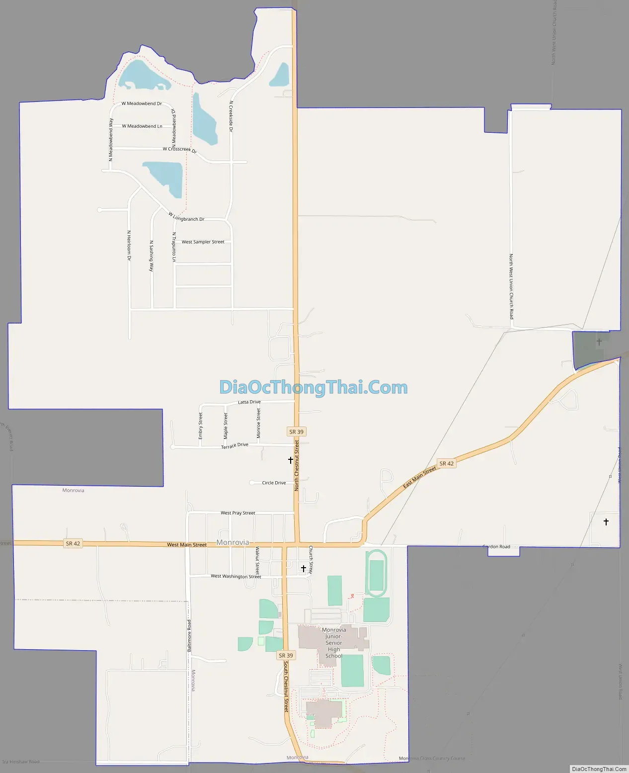
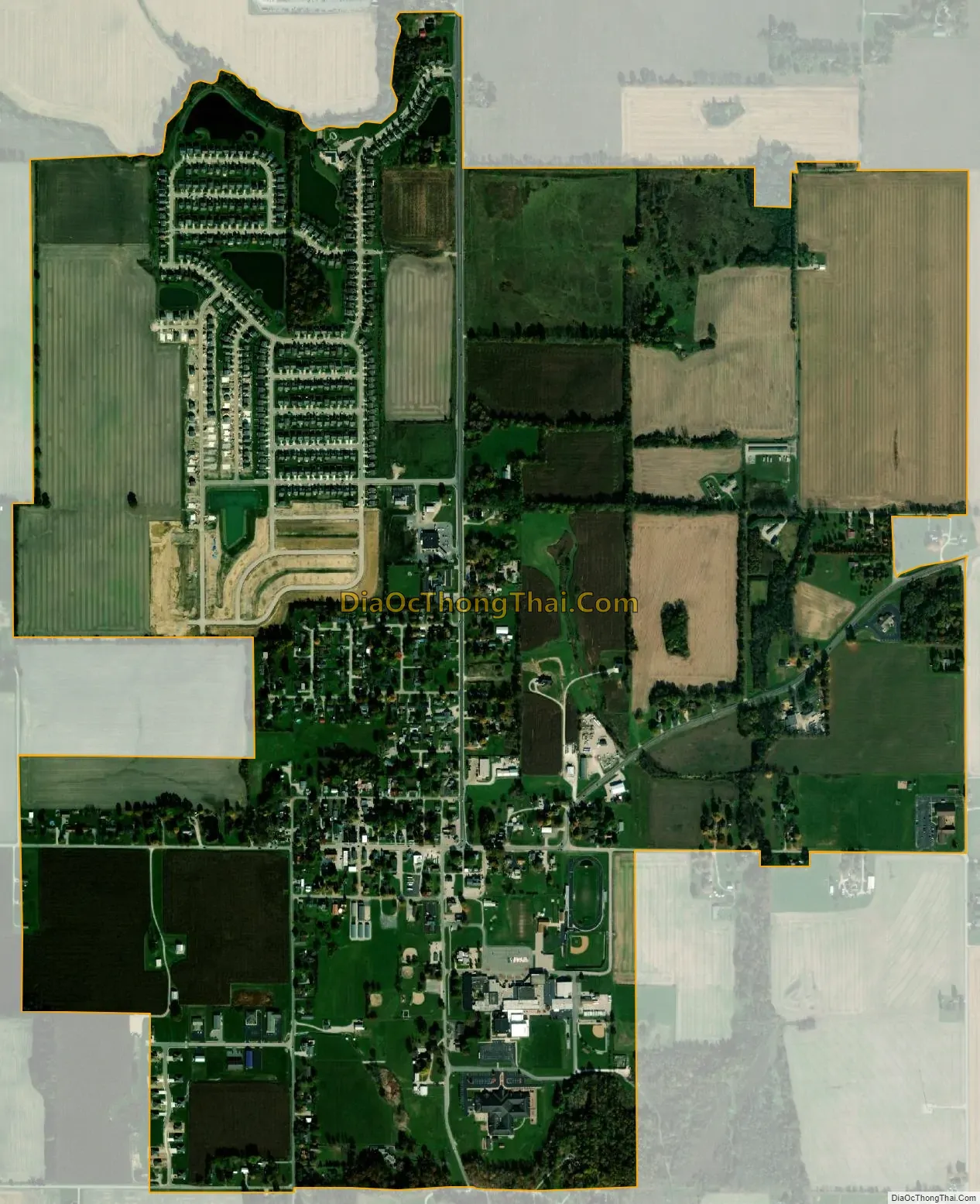
Monrovia city Satellite Map
Geography
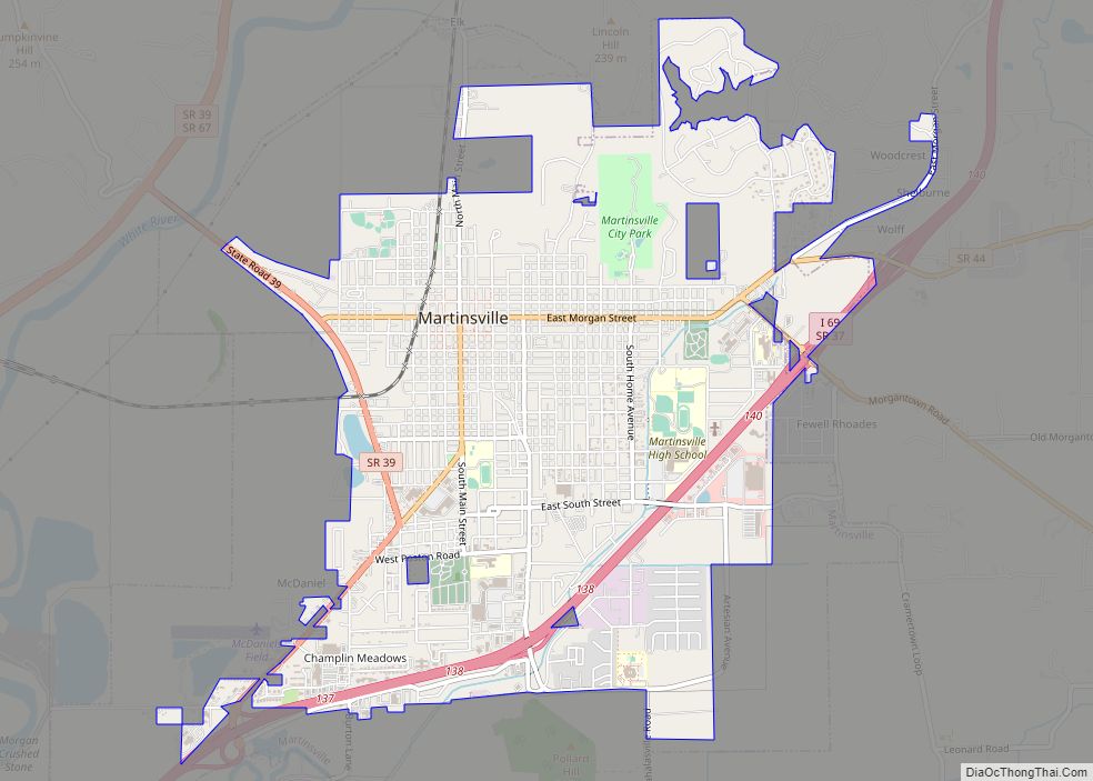
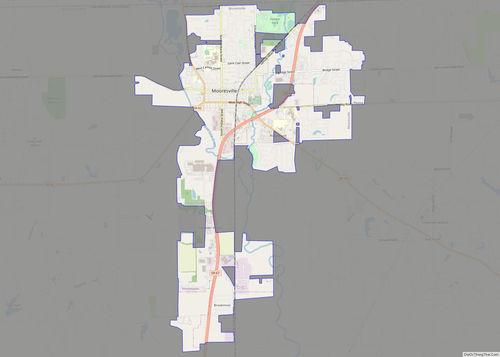
Monrovia is located in northern Morgan County at 39°34′46″N 86°28′49″W / 39.57944°N 86.48028°W / 39.57944; -86.48028 (39.579389, -86.480402). Indiana State Road 42 passes through the center of town as Main Street, while State Road 39 passes through the center on Chestnut Street. SR 42 leads northeast 6 miles (10 km) to Mooresville and west 9 miles (14 km) to Little Point, while SR 39 leads north 7 miles (11 km) to Belleville and south 12 miles (19 km) to Martinsville, the Monroe county seat. Interstate 70 passes 2 miles (3 km) north of Monrovia, with access from Exit 59 at SR 39. Downtown Indianapolis is 24 miles (39 km) to the northeast.
According to the U.S. Census Bureau, Monrovia has a total area of 1.80 square miles (4.66 km), of which 0.001 square miles (0.003 km), or 0.06%, are water. The town sits on a low ridge which drains east toward Sycamore Creek and north toward McCracken Creek, both of which flow toward the White River; to the west the town drains toward Mill Creek, a tributary of the Eel River, which in turn flows to the White River.
See also
Map of Indiana State and its subdivision:- Adams
- Allen
- Bartholomew
- Benton
- Blackford
- Boone
- Brown
- Carroll
- Cass
- Clark
- Clay
- Clinton
- Crawford
- Daviess
- De Kalb
- Dearborn
- Decatur
- Delaware
- Dubois
- Elkhart
- Fayette
- Floyd
- Fountain
- Franklin
- Fulton
- Gibson
- Grant
- Greene
- Hamilton
- Hancock
- Harrison
- Hendricks
- Henry
- Howard
- Huntington
- Jackson
- Jasper
- Jay
- Jefferson
- Jennings
- Johnson
- Knox
- Kosciusko
- LaGrange
- Lake
- Lake Michigan
- LaPorte
- Lawrence
- Madison
- Marion
- Marshall
- Martin
- Miami
- Monroe
- Montgomery
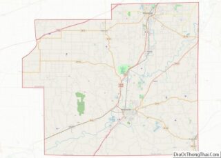
- Morgan
- Newton
- Noble
- Ohio
- Orange
- Owen
- Parke
- Perry
- Pike
- Porter
- Posey
- Pulaski
- Putnam
- Randolph
- Ripley
- Rush
- Saint Joseph
- Scott
- Shelby
- Spencer
- Starke
- Steuben
- Sullivan
- Switzerland
- Tippecanoe
- Tipton
- Union
- Vanderburgh
- Vermillion
- Vigo
- Wabash
- Warren
- Warrick
- Washington
- Wayne
- Wells
- White
- Whitley
- Alabama
- Alaska
- Arizona
- Arkansas
- California
- Colorado
- Connecticut
- Delaware
- District of Columbia
- Florida
- Georgia
- Hawaii
- Idaho
- Illinois
- Indiana
- Iowa
- Kansas
- Kentucky
- Louisiana
- Maine
- Maryland
- Massachusetts
- Michigan
- Minnesota
- Mississippi
- Missouri
- Montana
- Nebraska
- Nevada
- New Hampshire
- New Jersey
- New Mexico
- New York
- North Carolina
- North Dakota
- Ohio
- Oklahoma
- Oregon
- Pennsylvania
- Rhode Island
- South Carolina
- South Dakota
- Tennessee
- Texas
- Utah
- Vermont
- Virginia
- Washington
- West Virginia
- Wisconsin
- Wyoming