Syracuse is a town in Turkey Creek Township, Kosciusko County, in the U.S. state of Indiana. The population was 3,079 at the 2020 census. Syracuse is the location of Lake Syracuse and the nearby, larger Lake Wawasee, in addition to several other lakes in the region. The National Weather Service operates a Weather Forecast Office in the town. It serves Northern Indiana.
| Name: | Syracuse town |
|---|---|
| LSAD Code: | 43 |
| LSAD Description: | town (suffix) |
| State: | Indiana |
| County: | Kosciusko County |
| Elevation: | 876 ft (267 m) |
| Total Area: | 2.34 sq mi (6.06 km²) |
| Land Area: | 1.97 sq mi (5.10 km²) |
| Water Area: | 0.37 sq mi (0.95 km²) |
| Total Population: | 3,079 |
| Population Density: | 1,562.15/sq mi (603.17/km²) |
| ZIP code: | 46567 |
| Area code: | 574 |
| FIPS code: | 1874744 |
| GNISfeature ID: | 444529 |
| Website: | http://www.syracusein.org |
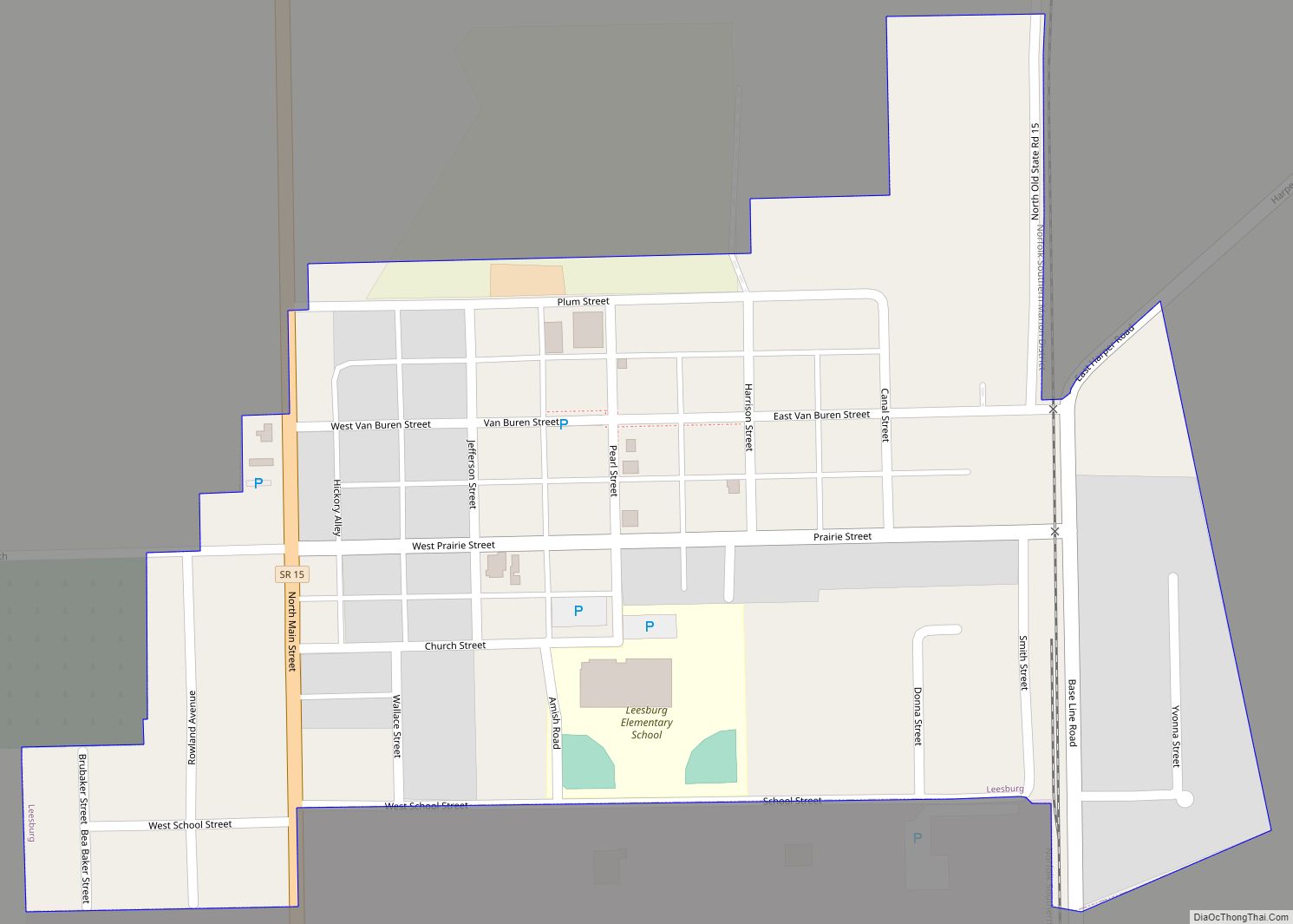
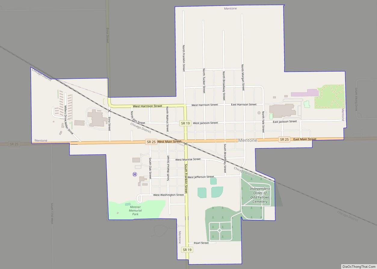
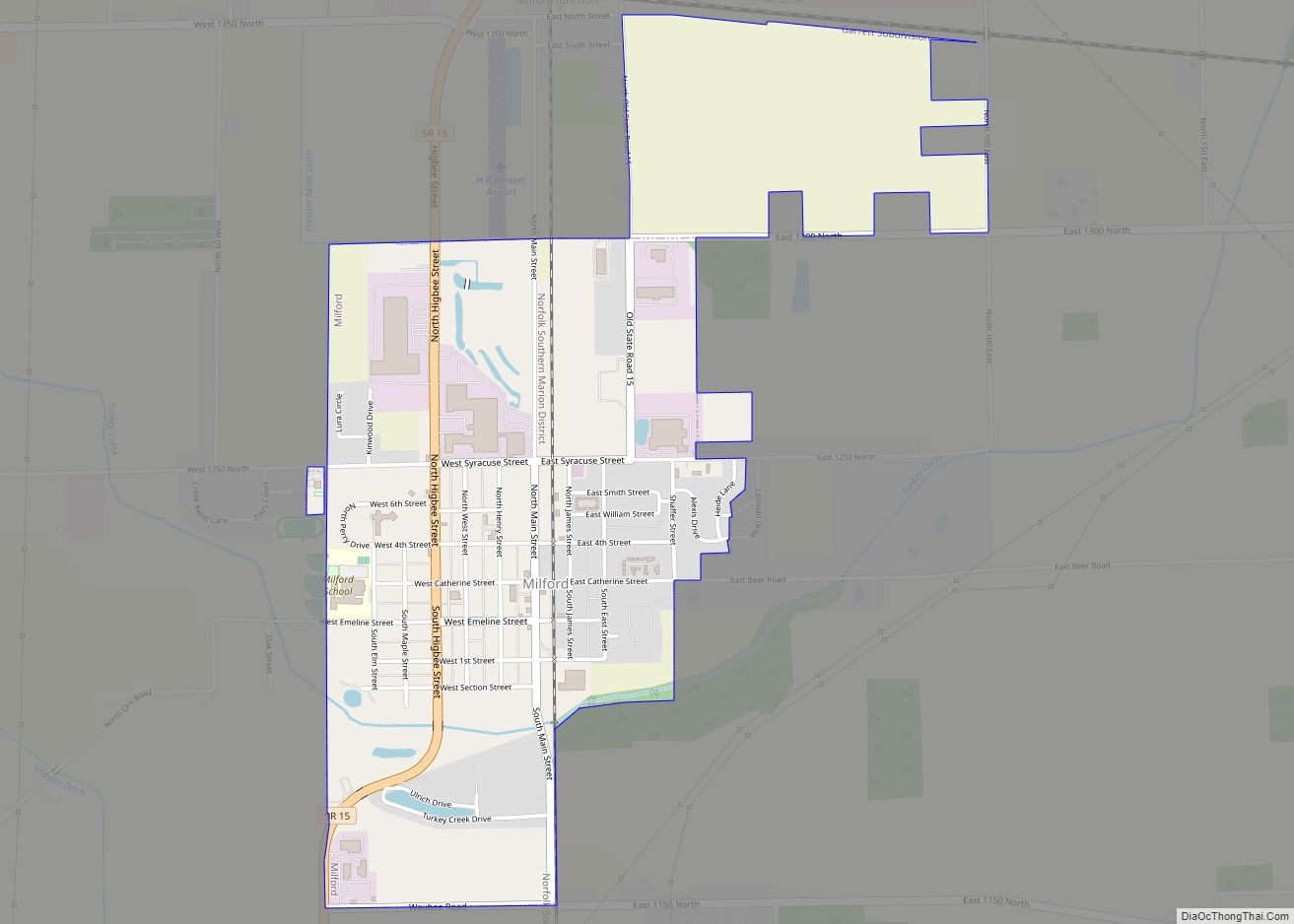
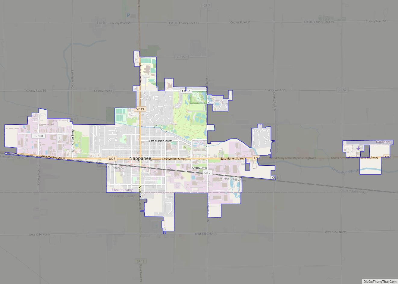
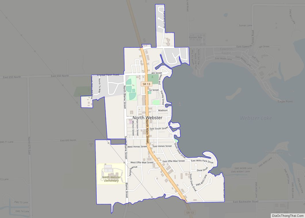
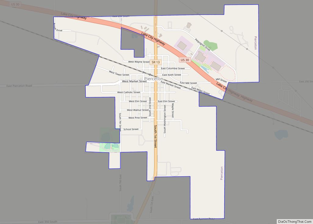
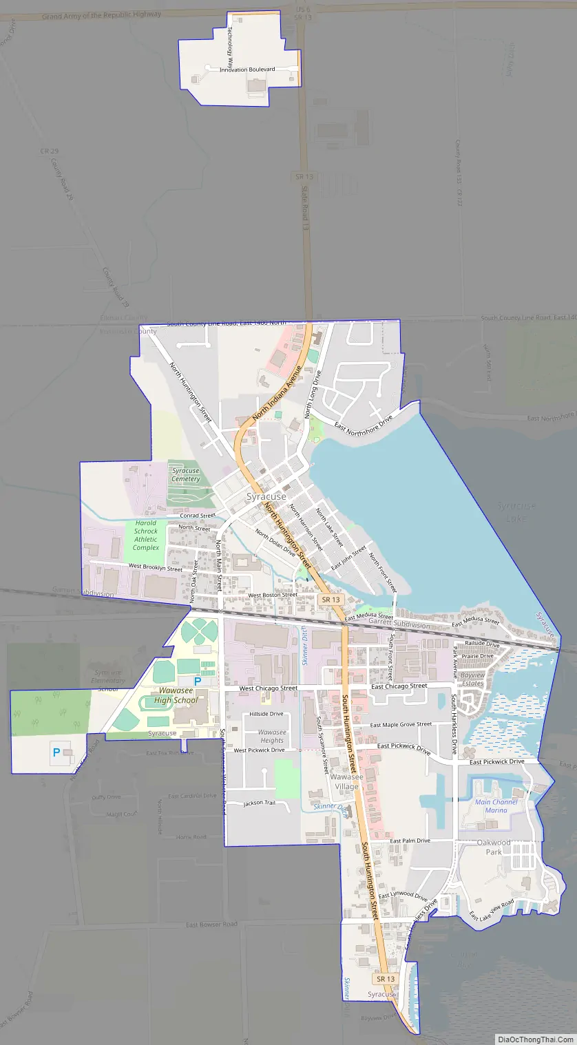
Online Interactive Map
Click on ![]() to view map in "full screen" mode.
to view map in "full screen" mode.
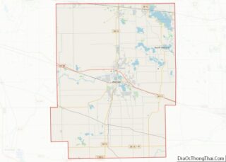
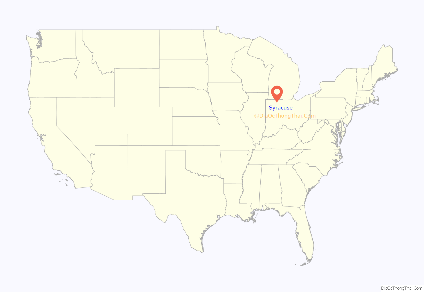
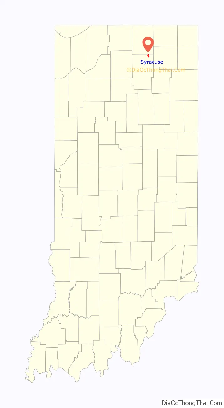
Syracuse location map. Where is Syracuse town?
History
Syracuse was laid out in 1837. It was likely named after the city of Syracuse, New York. The Syracuse post office was established in 1837.
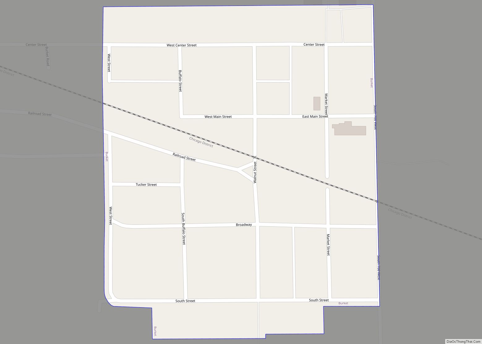
Syracuse Road Map
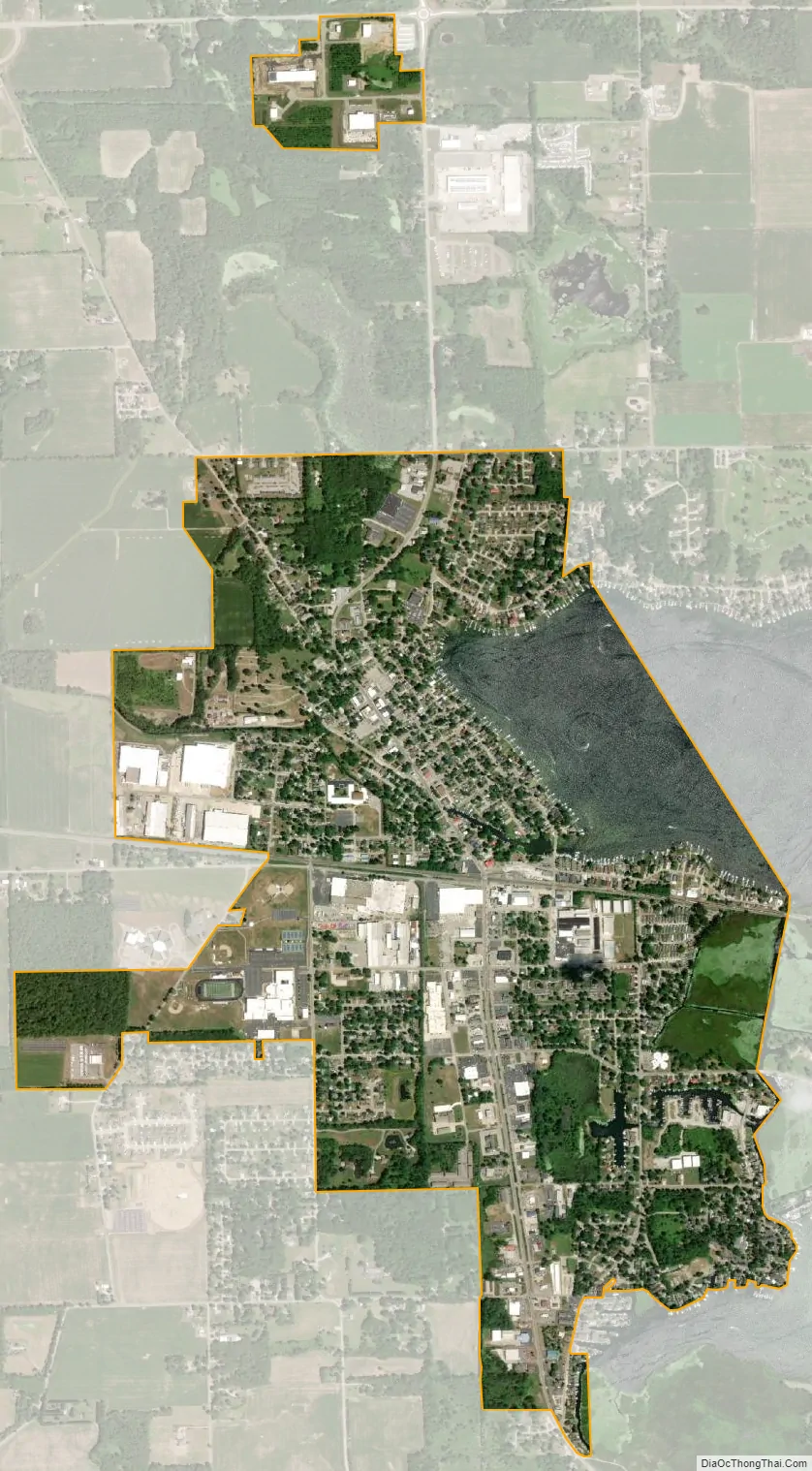
Syracuse city Satellite Map
Geography
Syracuse is located at 41°25′24″N 85°45′0″W / 41.42333°N 85.75000°W / 41.42333; -85.75000 (41.423389, -85.749887).
According to the 2010 census, Syracuse has a total area of 2.156 square miles (5.58 km), of which 1.79 square miles (4.64 km) (or 83.02%) is land and 0.366 square miles (0.95 km) (or 16.98%) is water.
See also
Map of Indiana State and its subdivision:- Adams
- Allen
- Bartholomew
- Benton
- Blackford
- Boone
- Brown
- Carroll
- Cass
- Clark
- Clay
- Clinton
- Crawford
- Daviess
- De Kalb
- Dearborn
- Decatur
- Delaware
- Dubois
- Elkhart
- Fayette
- Floyd
- Fountain
- Franklin
- Fulton
- Gibson
- Grant
- Greene
- Hamilton
- Hancock
- Harrison
- Hendricks
- Henry
- Howard
- Huntington
- Jackson
- Jasper
- Jay
- Jefferson
- Jennings
- Johnson
- Knox
- Kosciusko
- LaGrange
- Lake
- Lake Michigan
- LaPorte
- Lawrence
- Madison
- Marion
- Marshall
- Martin
- Miami
- Monroe
- Montgomery
- Morgan
- Newton
- Noble
- Ohio
- Orange
- Owen
- Parke
- Perry
- Pike
- Porter
- Posey
- Pulaski
- Putnam
- Randolph
- Ripley
- Rush
- Saint Joseph
- Scott
- Shelby
- Spencer
- Starke
- Steuben
- Sullivan
- Switzerland
- Tippecanoe
- Tipton
- Union
- Vanderburgh
- Vermillion
- Vigo
- Wabash
- Warren
- Warrick
- Washington
- Wayne
- Wells
- White
- Whitley
- Alabama
- Alaska
- Arizona
- Arkansas
- California
- Colorado
- Connecticut
- Delaware
- District of Columbia
- Florida
- Georgia
- Hawaii
- Idaho
- Illinois
- Indiana
- Iowa
- Kansas
- Kentucky
- Louisiana
- Maine
- Maryland
- Massachusetts
- Michigan
- Minnesota
- Mississippi
- Missouri
- Montana
- Nebraska
- Nevada
- New Hampshire
- New Jersey
- New Mexico
- New York
- North Carolina
- North Dakota
- Ohio
- Oklahoma
- Oregon
- Pennsylvania
- Rhode Island
- South Carolina
- South Dakota
- Tennessee
- Texas
- Utah
- Vermont
- Virginia
- Washington
- West Virginia
- Wisconsin
- Wyoming