Van Buren is a town in Van Buren Township, Grant County, Indiana, United States. The population was 864 at the 2010 census.
| Name: | Van Buren town |
|---|---|
| LSAD Code: | 43 |
| LSAD Description: | town (suffix) |
| State: | Indiana |
| County: | Grant County |
| Elevation: | 846 ft (258 m) |
| Total Area: | 0.58 sq mi (1.51 km²) |
| Land Area: | 0.58 sq mi (1.51 km²) |
| Water Area: | 0.00 sq mi (0.00 km²) |
| Total Population: | 790 |
| Population Density: | 1,355.06/sq mi (522.96/km²) |
| ZIP code: | 46991 |
| Area code: | 765 |
| FIPS code: | 1878470 |
| GNISfeature ID: | 0445203 |
| Website: | http://www.vanburenindiana.com/ |
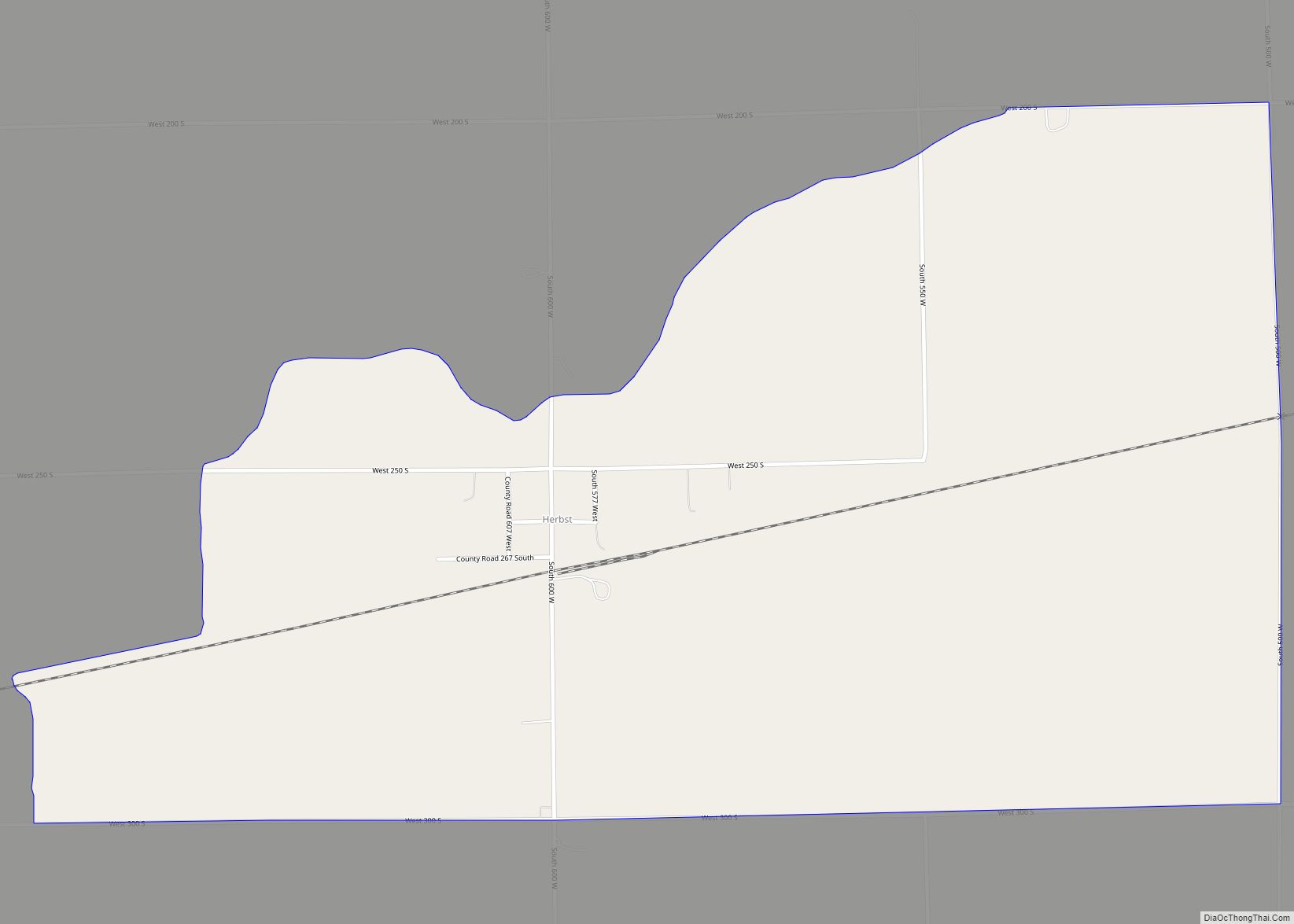
Online Interactive Map
Click on ![]() to view map in "full screen" mode.
to view map in "full screen" mode.
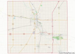
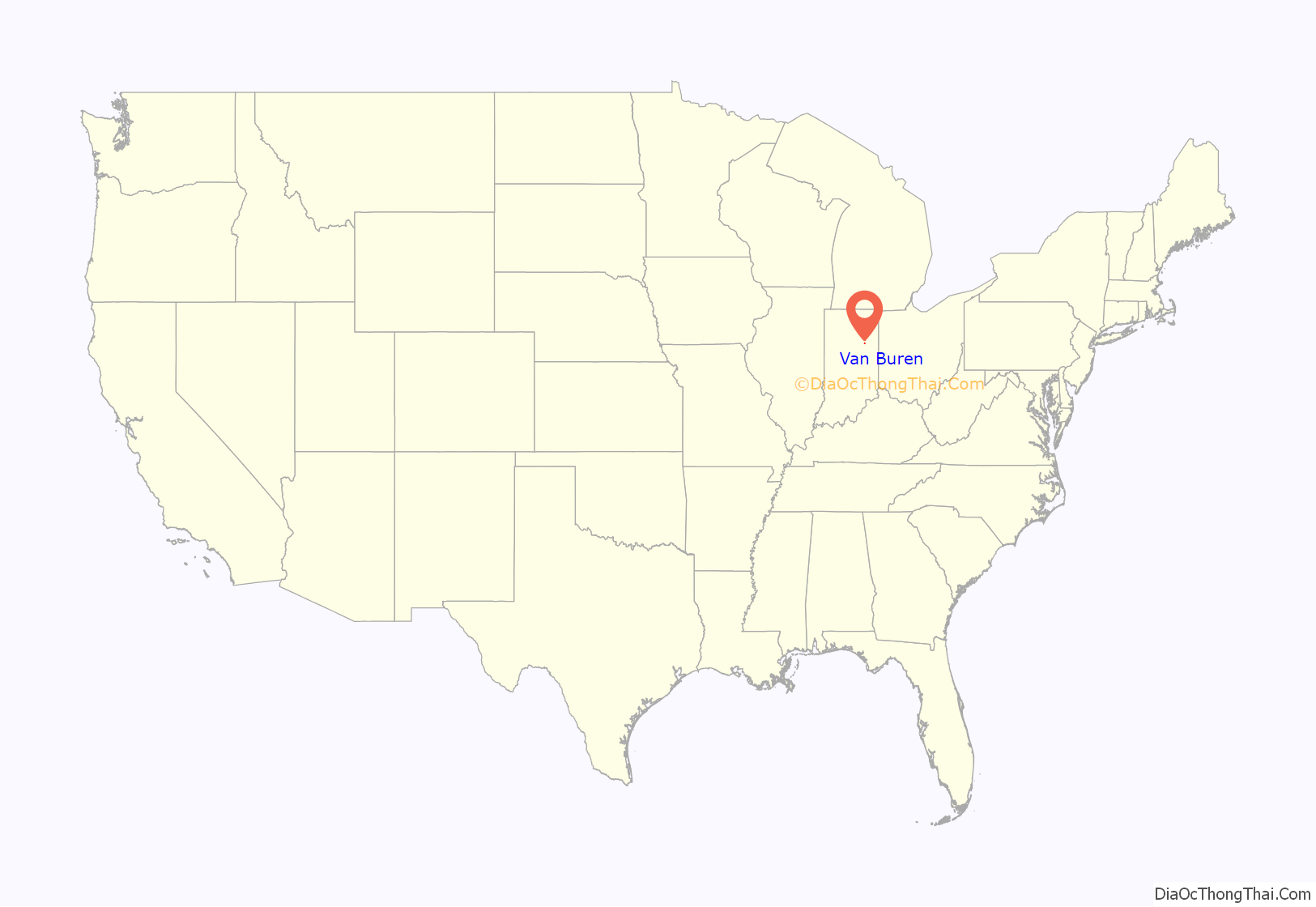
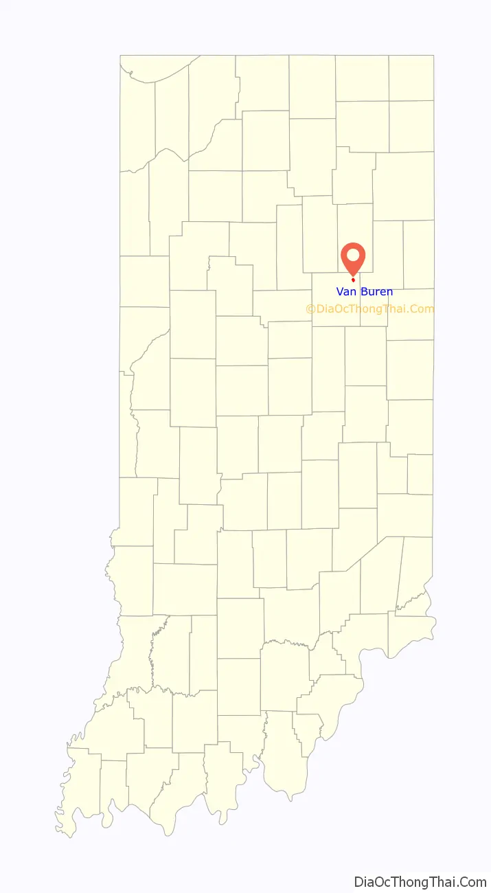
Van Buren location map. Where is Van Buren town?
History
Joseph Boxell platted Van Buren Township in 1837. Martin Van Buren was the United States president at the time. In 1843 George H. D. Rood settled here and the creek that runs through the town was called Roods Run. As the area grew and developed it was called many names including Roods Corner, Roods Town, Roods Crossroads and Stringtown. In 1888 C.W. platted the area and it was known as Van Buren. In June 1892 the town became incorporated by the state of Indiana.
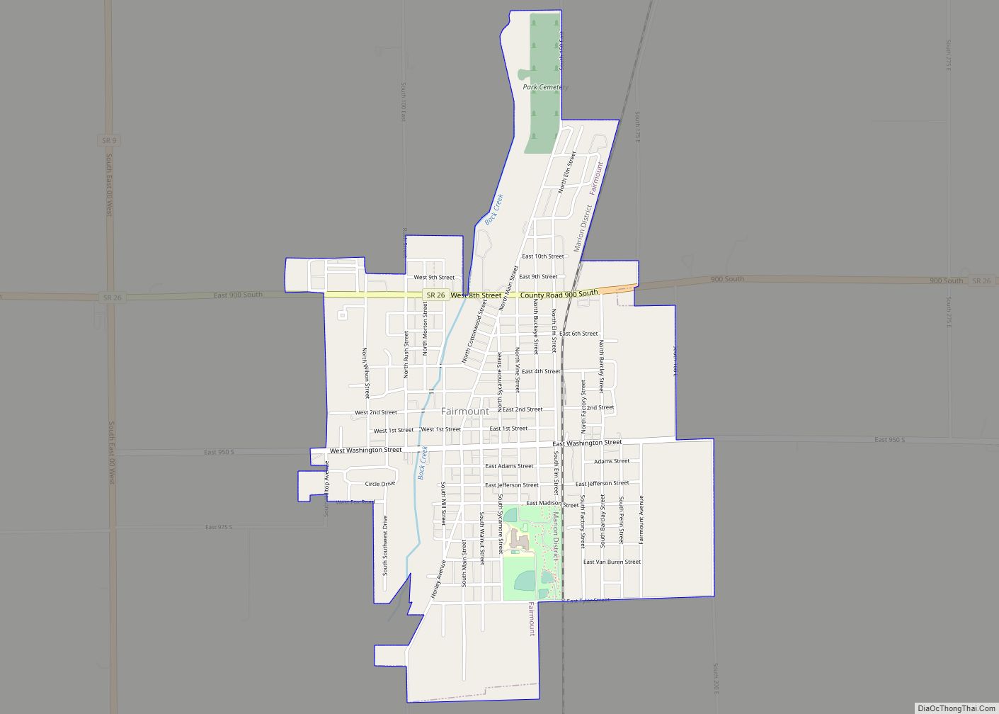
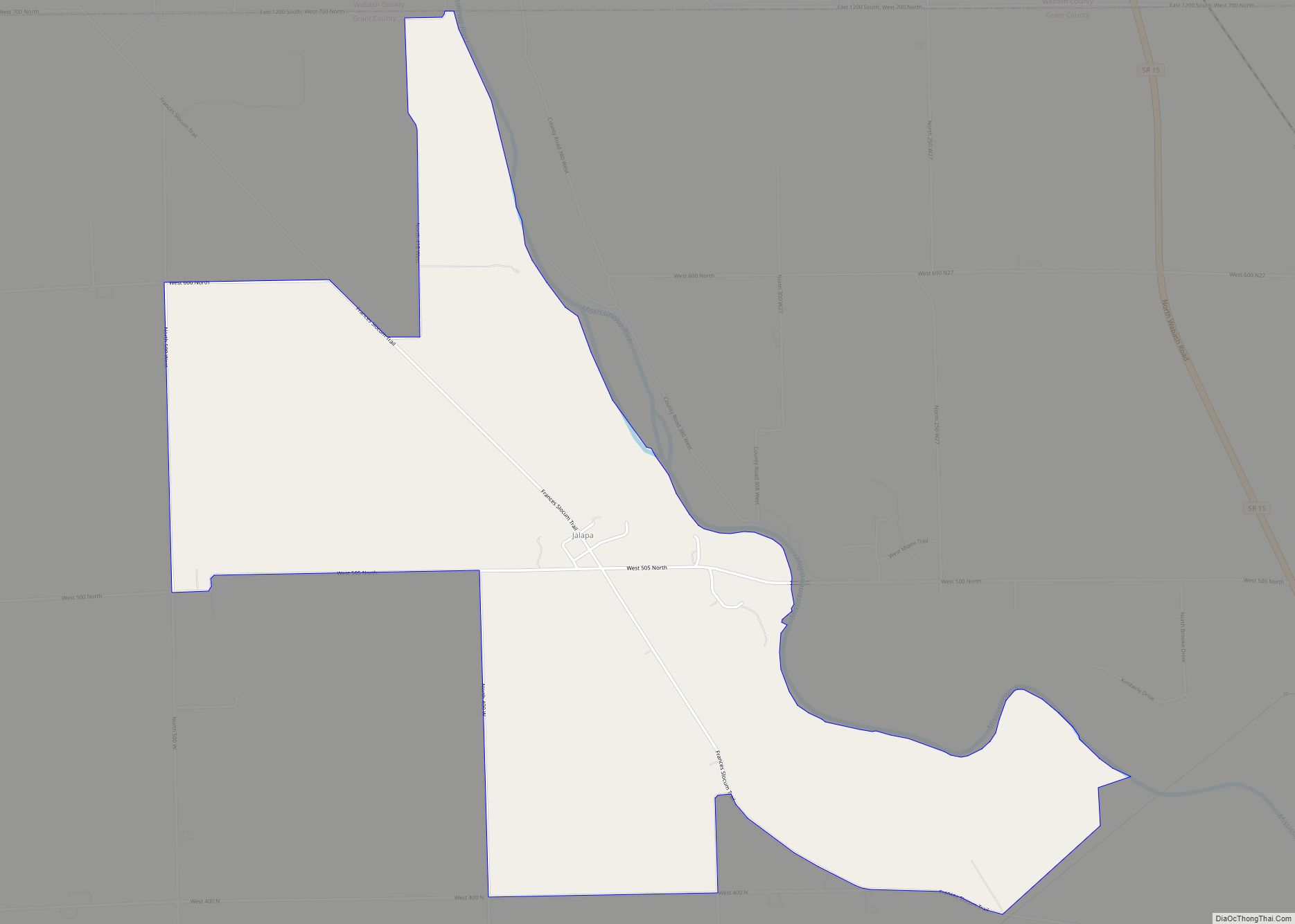
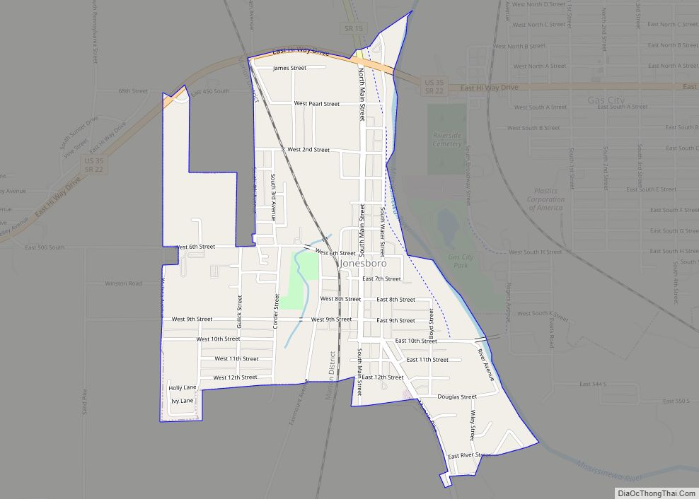
Van Buren Road Map
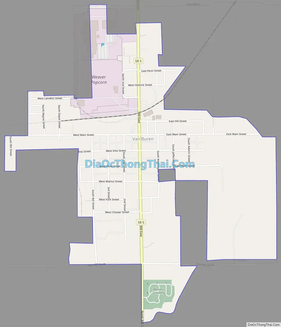
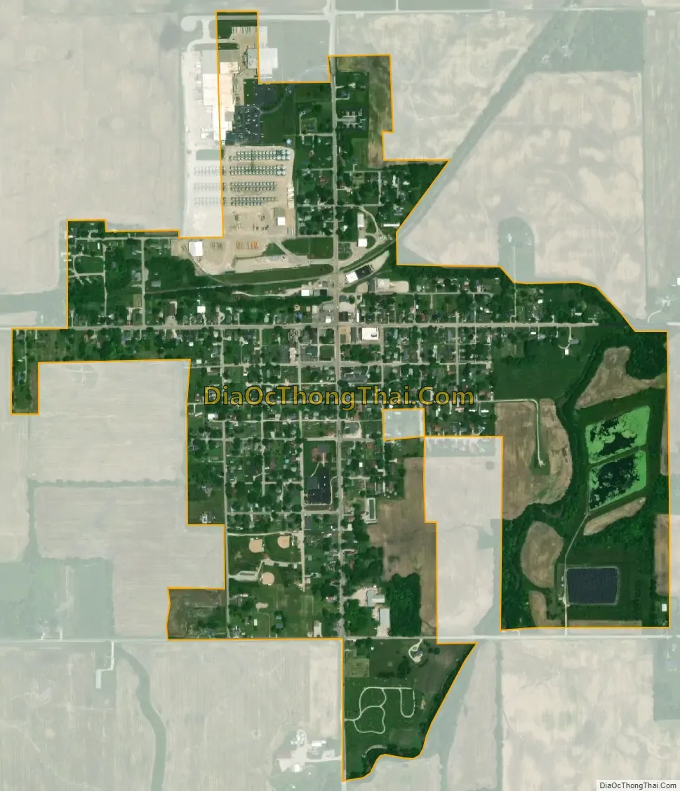
Van Buren city Satellite Map
Geography
Van Buren is located at 40°37′1″N 85°30′23″W / 40.61694°N 85.50639°W / 40.61694; -85.50639 (40.616856, -85.506393).
According to the 2010 census, Van Buren has a total area of 0.58 square miles (1.50 km), all land.
See also
Map of Indiana State and its subdivision:- Adams
- Allen
- Bartholomew
- Benton
- Blackford
- Boone
- Brown
- Carroll
- Cass
- Clark
- Clay
- Clinton
- Crawford
- Daviess
- De Kalb
- Dearborn
- Decatur
- Delaware
- Dubois
- Elkhart
- Fayette
- Floyd
- Fountain
- Franklin
- Fulton
- Gibson
- Grant
- Greene
- Hamilton
- Hancock
- Harrison
- Hendricks
- Henry
- Howard
- Huntington
- Jackson
- Jasper
- Jay
- Jefferson
- Jennings
- Johnson
- Knox
- Kosciusko
- LaGrange
- Lake
- Lake Michigan
- LaPorte
- Lawrence
- Madison
- Marion
- Marshall
- Martin
- Miami
- Monroe
- Montgomery
- Morgan
- Newton
- Noble
- Ohio
- Orange
- Owen
- Parke
- Perry
- Pike
- Porter
- Posey
- Pulaski
- Putnam
- Randolph
- Ripley
- Rush
- Saint Joseph
- Scott
- Shelby
- Spencer
- Starke
- Steuben
- Sullivan
- Switzerland
- Tippecanoe
- Tipton
- Union
- Vanderburgh
- Vermillion
- Vigo
- Wabash
- Warren
- Warrick
- Washington
- Wayne
- Wells
- White
- Whitley
- Alabama
- Alaska
- Arizona
- Arkansas
- California
- Colorado
- Connecticut
- Delaware
- District of Columbia
- Florida
- Georgia
- Hawaii
- Idaho
- Illinois
- Indiana
- Iowa
- Kansas
- Kentucky
- Louisiana
- Maine
- Maryland
- Massachusetts
- Michigan
- Minnesota
- Mississippi
- Missouri
- Montana
- Nebraska
- Nevada
- New Hampshire
- New Jersey
- New Mexico
- New York
- North Carolina
- North Dakota
- Ohio
- Oklahoma
- Oregon
- Pennsylvania
- Rhode Island
- South Carolina
- South Dakota
- Tennessee
- Texas
- Utah
- Vermont
- Virginia
- Washington
- West Virginia
- Wisconsin
- Wyoming