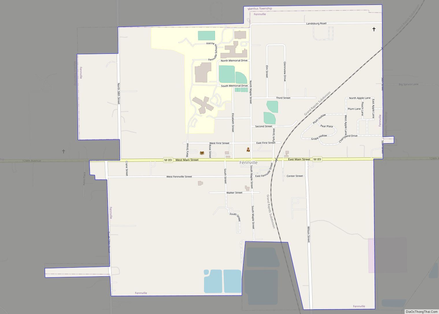
Fennville is a city in Allegan County in the U.S. state of Michigan. The population was 1,745 at the 2020 census.
Located on M-89 on the boundary between Manlius Township to the north and Clyde Township to the south, Fennville is located about 11 miles (18 km) southeast of the city of Saugatuck and about 13 miles (21 km) west-northwest of the city of Allegan. It is about 13 miles (21 km) south of Holland and about 16 miles (26 km) northeast of South Haven.
| Name: | Fennville city |
|---|---|
| LSAD Code: | 25 |
| LSAD Description: | city (suffix) |
| State: | Michigan |
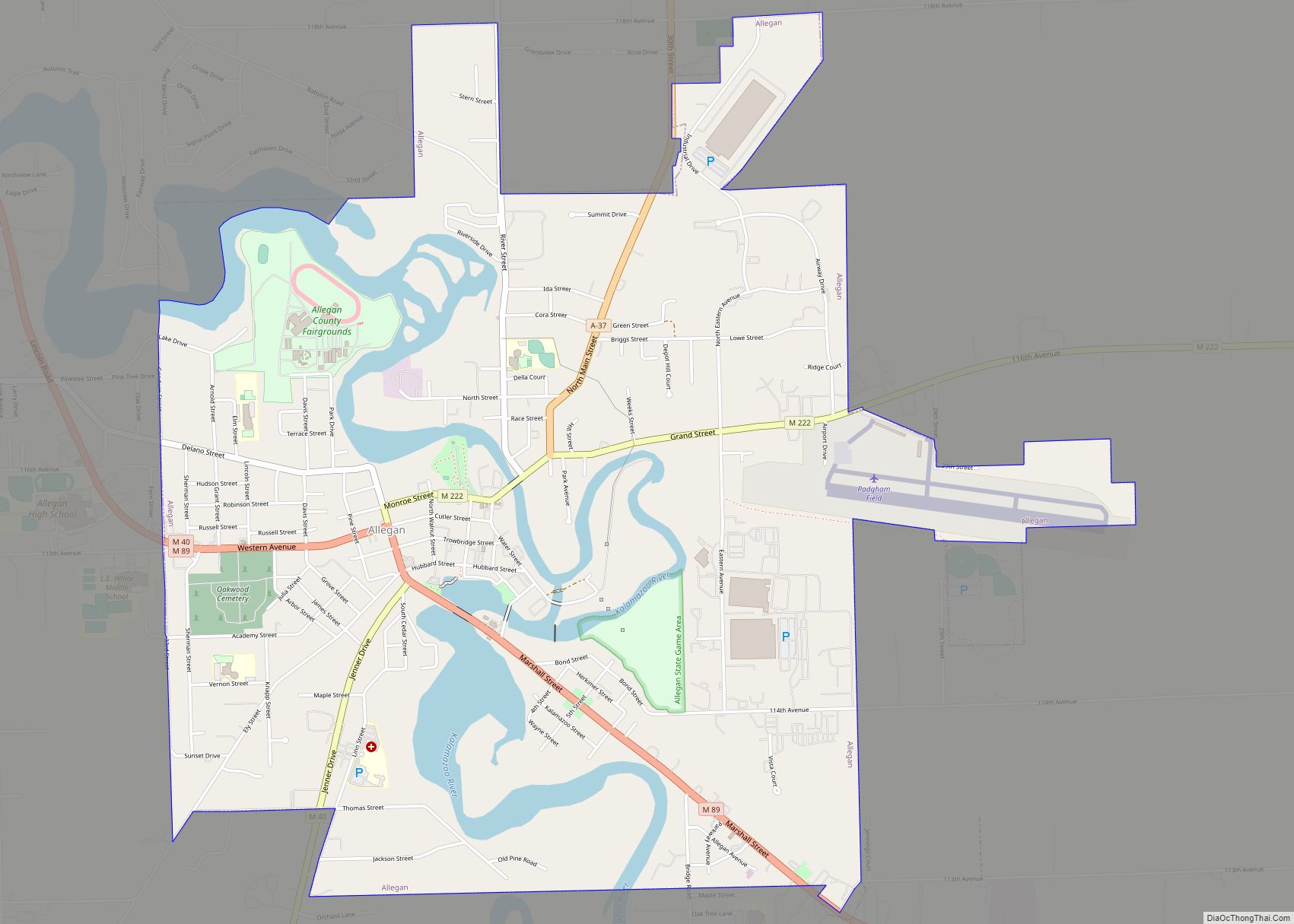
| County: | Allegan County |
| Elevation: | 666 ft (203 m) |
| Total Area: | 1.10 sq mi (2.85 km²) |
| Land Area: | 1.09 sq mi (2.83 km²) |
| Water Area: | 0.01 sq mi (0.03 km²) |
| Total Population: | 1,745 |
| Population Density: | 1,599.45/sq mi (617.30/km²) |
| ZIP code: | 49408 |
| Area code: | 269 |
| FIPS code: | 2627740 |
| GNISfeature ID: | 0625892 |
| Website: | fennville.com |
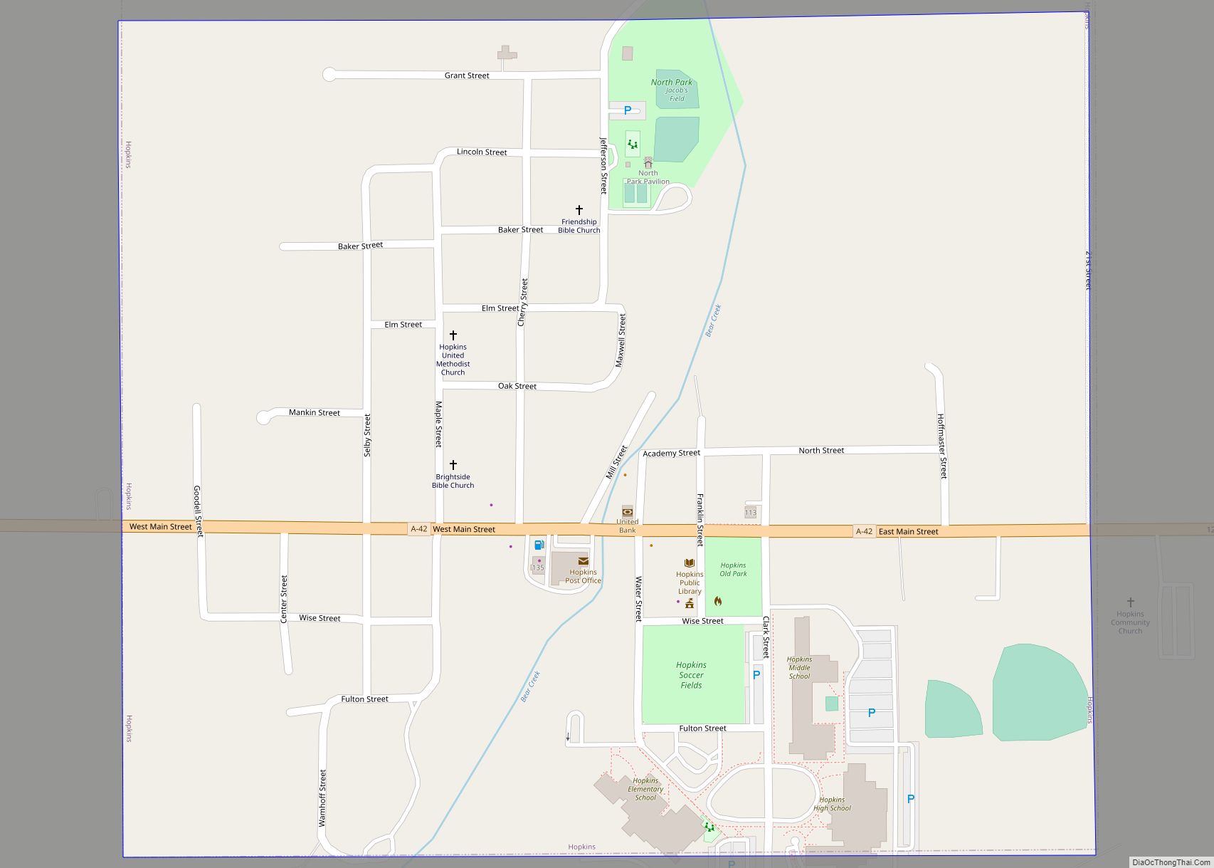
Online Interactive Map
Click on ![]() to view map in "full screen" mode.
to view map in "full screen" mode.
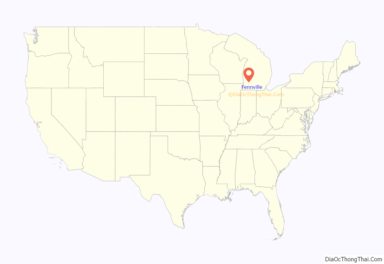
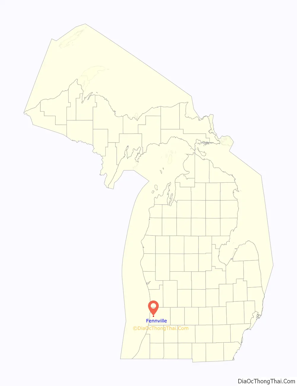
Fennville location map. Where is Fennville city?
History
The “official” and widely accepted account of how the city came to be known as Fennville, is that an early white settler by the name of Elam Atwater Fenn built a saw mill in the immediate vicinity of the current community. This led to people referring to the settlement as “Fenn’s Mill” which became the name associated with the post office there. Some early documents pluralized “Mill” to render “Fenn’s Mills.” The first road through what was to be Fennville was built by Harrison Hutchins and James McCormick in 1837.
A fire (possibly related to the Great Chicago Fire or Great Michigan Fire) destroyed the village in October 1871. About that time, the paperwork (timetables and such) for the recently completed Chicago and Michigan Lake Shore Railroad arrived which identified the community’s station as “Fennville.” This was thought by some at the time (including Hutchins) to have been the result of clerical error. However, Fenn himself recorded that the change in name had been suggested by and mutually agreed upon among certain leaders of the community in conjunction with the establishment of the new railroad station. The post office name was then changed to “Fennville” to match the station’s name. The community was officially incorporated as the village of Fennville on February 20, 1889.
A United States atlas from 1895 indicates the town name was in some cases broken into two words, as in “Fenn Ville.” Yet another documented variation was “Fennsville” as found in a plat book from 1873. See References below.
Fennville Road Map
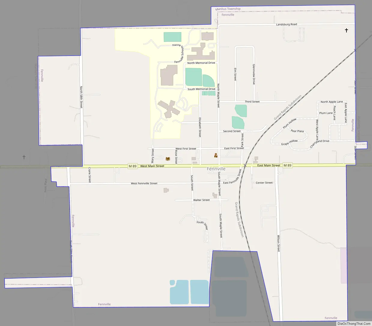
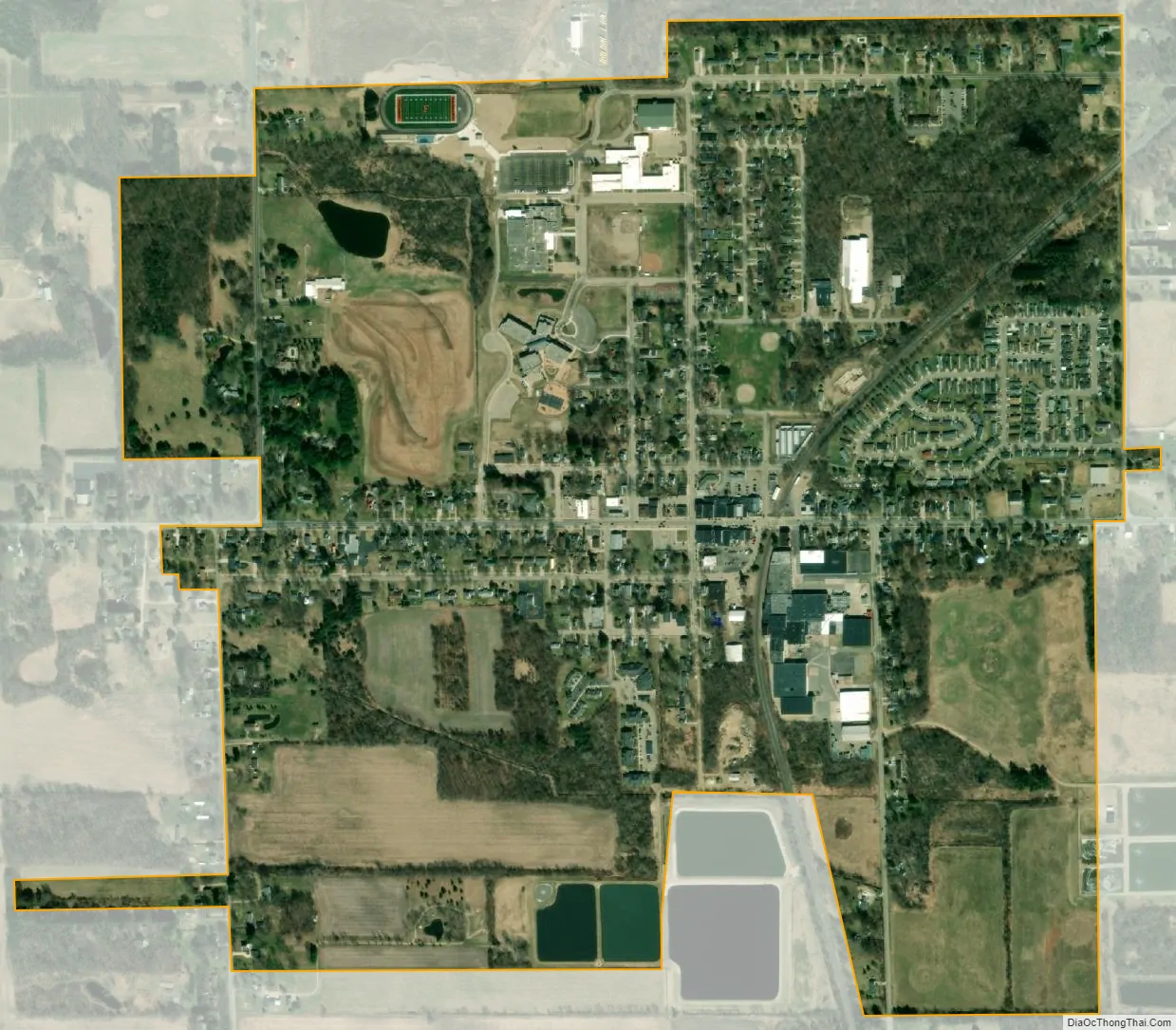
Fennville city Satellite Map
Geography
According to the United States Census Bureau, the city has a total area of 1.11 square miles (2.87 km), of which 1.10 square miles (2.85 km) is land and 0.01 square miles (0.03 km) is water.
See also
Map of Michigan State and its subdivision:- Alcona
- Alger
- Allegan
- Alpena
- Antrim
- Arenac
- Baraga
- Barry
- Bay
- Benzie
- Berrien
- Branch
- Calhoun
- Cass
- Charlevoix
- Cheboygan
- Chippewa
- Clare
- Clinton
- Crawford
- Delta
- Dickinson
- Eaton
- Emmet
- Genesee
- Gladwin
- Gogebic
- Grand Traverse
- Gratiot
- Hillsdale
- Houghton
- Huron
- Ingham
- Ionia
- Iosco
- Iron
- Isabella
- Jackson
- Kalamazoo
- Kalkaska
- Kent
- Keweenaw
- Lake
- Lake Hurron
- Lake Michigan
- Lake St. Clair
- Lake Superior
- Lapeer
- Leelanau
- Lenawee
- Livingston
- Luce
- Mackinac
- Macomb
- Manistee
- Marquette
- Mason
- Mecosta
- Menominee
- Midland
- Missaukee
- Monroe
- Montcalm
- Montmorency
- Muskegon
- Newaygo
- Oakland
- Oceana
- Ogemaw
- Ontonagon
- Osceola
- Oscoda
- Otsego
- Ottawa
- Presque Isle
- Roscommon
- Saginaw
- Saint Clair
- Saint Joseph
- Sanilac
- Schoolcraft
- Shiawassee
- Tuscola
- Van Buren
- Washtenaw
- Wayne
- Wexford
- Alabama
- Alaska
- Arizona
- Arkansas
- California
- Colorado
- Connecticut
- Delaware
- District of Columbia
- Florida
- Georgia
- Hawaii
- Idaho
- Illinois
- Indiana
- Iowa
- Kansas
- Kentucky
- Louisiana
- Maine
- Maryland
- Massachusetts
- Michigan
- Minnesota
- Mississippi
- Missouri
- Montana
- Nebraska
- Nevada
- New Hampshire
- New Jersey
- New Mexico
- New York
- North Carolina
- North Dakota
- Ohio
- Oklahoma
- Oregon
- Pennsylvania
- Rhode Island
- South Carolina
- South Dakota
- Tennessee
- Texas
- Utah
- Vermont
- Virginia
- Washington
- West Virginia
- Wisconsin
- Wyoming