Grand Ledge is a city in the U.S. state of Michigan. The city lies mostly within Eaton County, though a small portion extends into Clinton County to the north. The city sits along the Grand River 12.7 miles (20.4 kilometers) west of downtown Lansing. The population was 7,786 at the 2010 census. The city is named for its sandstone rock ledges that rise 40 feet (12 m) above the Grand River and are used by recreational rock climbers.
| Name: | Grand Ledge city |
|---|---|
| LSAD Code: | 25 |
| LSAD Description: | city (suffix) |
| State: | Michigan |
| County: | Clinton County, Eaton County |
| Elevation: | 833 ft (254 m) |
| Total Area: | 3.94 sq mi (10.19 km²) |
| Land Area: | 3.84 sq mi (9.94 km²) |
| Water Area: | 0.10 sq mi (0.25 km²) |
| Total Population: | 7,784 |
| Population Density: | 2,028.67/sq mi (783.27/km²) |
| ZIP code: | 48837 |
| Area code: | 517 |
| FIPS code: | 2633420 |
| GNISfeature ID: | 1626372 |
| Website: | www.cityofgrandledge.com |
Online Interactive Map
Click on ![]() to view map in "full screen" mode.
to view map in "full screen" mode.
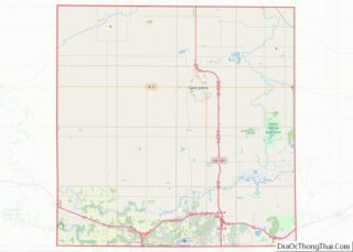
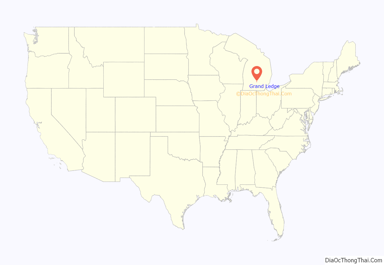
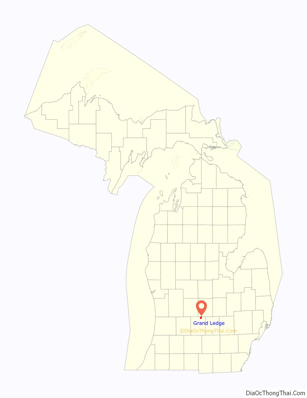
Grand Ledge location map. Where is Grand Ledge city?
History
Native American Settlement
Native Americans who lived in the vicinity of the Grand River near the ledges were of Pottawatomi, Chippewa, and Ottawa ancestry. They dug clams in the river, mined coal on the river banks, hunted for deer, turkey, fox, and bear, and fished for black bass. Their name for the ledges translated into English as “Big Rocks”.
Modern Settlement
Based on early records, Hugh Heward was the first white man to explore this area by water and record his findings. His journal describes the sandstone ledges as having high banks, some pine trees and heavy woods with the finest places possible for making syrup, and the existence of several small islands. In 1847 Henry Trench settled in what would later become downtown Grand Ledge. After a few years he returned east. In 1850 settlers named their village Grand Ledge, and erected a post office. By 1869, a railroad reached the north end of the village. In 1871, the village was incorporated by the state of Michigan.
Grand Ledge grew as a resort area during the 1870s, spurred by the railroad access. John Burtch founded Seven Islands Resort in 1872, with the Dolly Varden steamer and a small inn on Second Island. Several wells were drilled, and the mineral-laden water they produced was touted for its curative property. In 1877 S.M. Hewings purchased the Seven Islands Resort, and in 1878 he built the Island House Hotel on Second Island. In 1880 Julian Scott Mudge purchased the Seven Islands Resort. To reduce the risk of flooding from Grand River, Mudge built a dam (1887). In 1888 the Railroad Trestle or High Bridge was built to bring the railroad south of the river and Grand Ledge became the second city in Michigan (after Lansing) to get electric lights. By that time an estimated 60,000 to 70,000 people visited the Seven Islands Resort annually.
Golden Age
In 1891 Mudge built a roller coaster on the Islands, probably the state’s first. Located on the first island below the bridge was an animal park with bears and deer. The second island was the center of the resort activities, with its hotel, picnic area, and fountain. The second and third islands were joined with a causeway, and a pavilion served as a ballroom and theatre for Vaudeville acts. The Resort featured a merry-go-round and a bandstand.
Mudge’s most notable improvement was the construction of “The Round House”. This three-story pagoda tower was built on the edge of Second Island, with half its foundation on island soil and the rest projecting over the river. During the construction, he kept the purpose of the unusual structure secret. This caused much speculation in the local community. Mudge eventually revealed that it was designed to have the second story rotate at a slow speed, while the third story rotated faster and was topped by a centrifugal swing that would whirl the adventurous rider out over the river.
The fourth, fifth, and sixth islands were left wild, and the seventh was a picnic spot, accessed by boat. As many as 75 boats plied the Grand River at Grand Ledge, and sidewheel riverboats ran between Second Island and the dam. The dam, constructed in 1887, ensured the proper water level for the operation of steamboats. As many as nine hotels provided accommodations for visitors and the Pere Marquette Railroad offered excursion rates to the Seven Island Resort which, according to early records, was second in popularity only to the Petoskey resort areas.
The Spring Flood of 1893
A flood damaged the Round House in 1893. The construction was nearly complete by then, but the rushing waters pushed chunks of ice into its overhanging foundation. The structure was pushed off the foundation, but remained nearly in place, at a precarious angle. Although the building was saved, the mechanism that was to rotate its upper portions was so damaged that repairs were never initiated. The Round House remained on the site, becoming the most recognizable symbol of the entire resort era. “The building has come to be called Mudge’s Folly. This has a double meaning. While a folly can be a costly and foolish undertaking, it can also describe a picturesque structure built as an ornament, but without a real purpose.”.
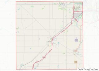
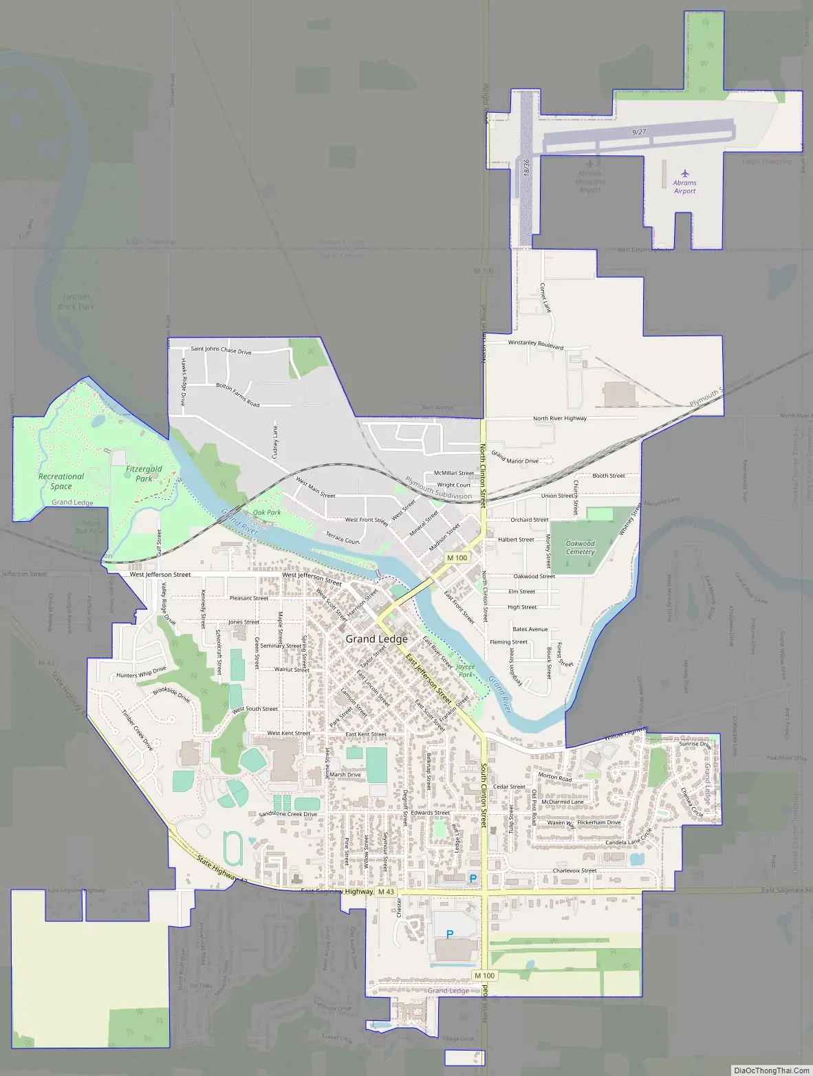
Grand Ledge Road Map
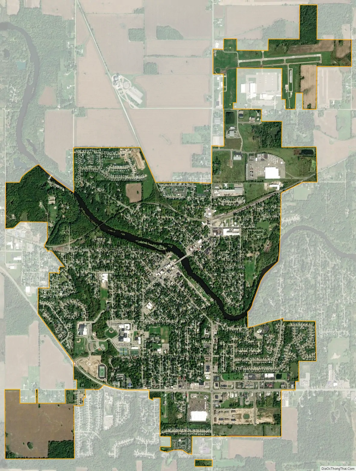
Grand Ledge city Satellite Map
Geography
According to the United States Census Bureau, the city has a total area of 3.65 square miles (9.45 km), of which 3.57 square miles (9.25 km) is land and 0.08 square miles (0.21 km) is water.
See also
Map of Michigan State and its subdivision:- Alcona
- Alger
- Allegan
- Alpena
- Antrim
- Arenac
- Baraga
- Barry
- Bay
- Benzie
- Berrien
- Branch
- Calhoun
- Cass
- Charlevoix
- Cheboygan
- Chippewa
- Clare
- Clinton
- Crawford
- Delta
- Dickinson
- Eaton
- Emmet
- Genesee
- Gladwin
- Gogebic
- Grand Traverse
- Gratiot
- Hillsdale
- Houghton
- Huron
- Ingham
- Ionia
- Iosco
- Iron
- Isabella
- Jackson
- Kalamazoo
- Kalkaska
- Kent
- Keweenaw
- Lake
- Lake Hurron
- Lake Michigan
- Lake St. Clair
- Lake Superior
- Lapeer
- Leelanau
- Lenawee
- Livingston
- Luce
- Mackinac
- Macomb
- Manistee
- Marquette
- Mason
- Mecosta
- Menominee
- Midland
- Missaukee
- Monroe
- Montcalm
- Montmorency
- Muskegon
- Newaygo
- Oakland
- Oceana
- Ogemaw
- Ontonagon
- Osceola
- Oscoda
- Otsego
- Ottawa
- Presque Isle
- Roscommon
- Saginaw
- Saint Clair
- Saint Joseph
- Sanilac
- Schoolcraft
- Shiawassee
- Tuscola
- Van Buren
- Washtenaw
- Wayne
- Wexford
- Alabama
- Alaska
- Arizona
- Arkansas
- California
- Colorado
- Connecticut
- Delaware
- District of Columbia
- Florida
- Georgia
- Hawaii
- Idaho
- Illinois
- Indiana
- Iowa
- Kansas
- Kentucky
- Louisiana
- Maine
- Maryland
- Massachusetts
- Michigan
- Minnesota
- Mississippi
- Missouri
- Montana
- Nebraska
- Nevada
- New Hampshire
- New Jersey
- New Mexico
- New York
- North Carolina
- North Dakota
- Ohio
- Oklahoma
- Oregon
- Pennsylvania
- Rhode Island
- South Carolina
- South Dakota
- Tennessee
- Texas
- Utah
- Vermont
- Virginia
- Washington
- West Virginia
- Wisconsin
- Wyoming