Hancock is a city in Houghton County in the U.S. state of Michigan. It is across the Keweenaw Waterway from the city of Houghton on the Keweenaw Peninsula. The population was 4,634 at the 2010 census. The Weather Channel has consistently ranked Hancock as the third-snowiest city in the U.S.
Hancock was named after U.S. Founding Father John Hancock.
| Name: | Hancock city |
|---|---|
| LSAD Code: | 25 |
| LSAD Description: | city (suffix) |
| State: | Michigan |
| County: | Houghton County |
| Founded: | 1859 |
| Incorporated: | 1863 (village) 1903 (city) |
| Elevation: | 696 ft (212 m) |
| Total Area: | 2.78 sq mi (7.20 km²) |
| Land Area: | 2.78 sq mi (7.20 km²) |
| Water Area: | 0.00 sq mi (0.00 km²) |
| Total Population: | 4,501 |
| Population Density: | 1,619.65/sq mi (625.25/km²) |
| Area code: | 906 |
| FIPS code: | 2636300 |
| GNISfeature ID: | 0627710 |
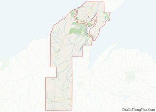
Online Interactive Map
Click on ![]() to view map in "full screen" mode.
to view map in "full screen" mode.
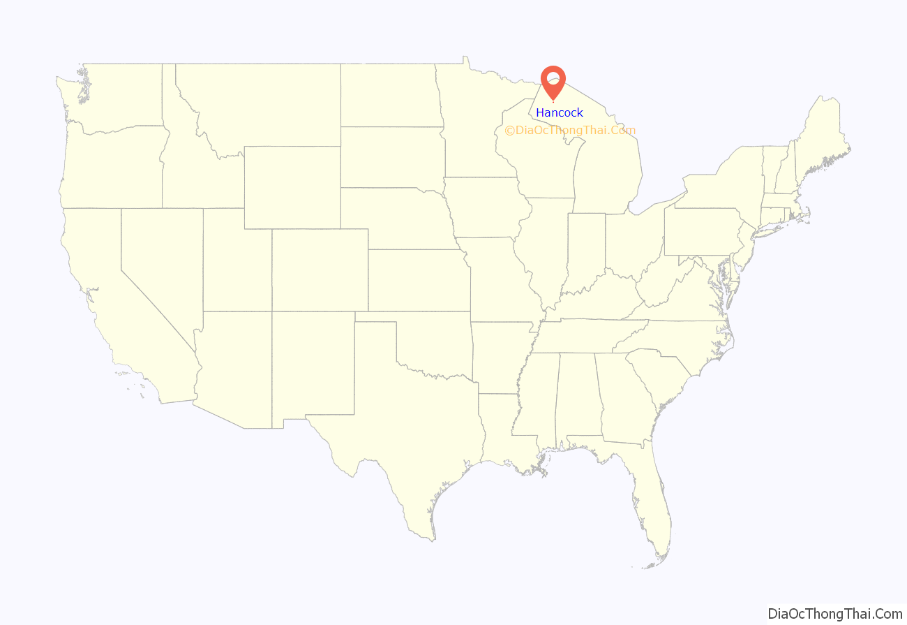
Hancock location map. Where is Hancock city?
History
The story of Hancock began during the summers of 1847 and 1848, when a small group of prospectors laboring on a rugged hillside (later named Quincy Hill) discovered a sequence of prehistoric Ojibwe copper mining pits, stretching out for 100 feet along the local amygdaloid lode. Upon inspecting one, they realized that the Native Americans were able to take copper in small quantities through these pits. The discovery formed the basis upon which the Quincy Mining Company was created in October 1848, under a special charter granted by the legislature.
The earliest building in what is now the City of Hancock was a log cabin erected in 1846 on the site of the Ruggles Mining Claim, halfway up atop the hillside; it is no longer standing as the site has been taken up by the Houghton County Garage buildings. It was owned by Christopher Columbus (C.C.) Douglass, who came to live there in 1852. The Quincy Mining Company founded Hancock in 1859 after purchasing the land from Douglass and building an office and mine on the site. The city was named after John Hancock, a signer of the Declaration of Independence.
Hancock’s first store was built by the Leopold brothers in 1858; the store also housed the first post office. Samuel W. Hill, an agent for the Quincy Mining Company, platted the Village of Hancock in 1859. On 20 August 1860, Bishop Frederic Baraga and Reverend Edward Jacker selected lots nine and ten of block eight in the village for the purpose of constructing a church. It was on the northeast corner of what is now Quincy and Ravine Streets. The Quincy Mining Company donated this ground, but for some reason the official paperwork didn’t go through for it until 2 July 1875.
In Hancock’s earliest days, the village had been within the borders of what is now the Portage Charter Township, but on 1 April 1861 the area was set off and organized into a new township called Hancock Township. The Portage Stamp Mill was also founded nearby at Portage Lake in 1861. In 1860, the Keweenaw Waterway was dredged, widening the then-Portage River to allow more aquatic transportation to Hancock and neighboring Houghton. The waterway was initially opened to ships in 1859.
Also in 1859 was the debut of the Hancock Mine, later called the Sumner Mine before being renamed the Hancock Mine once more. The mine was on Quincy Hill near both Summit and Franklin Streets in an area that is now part of Finlandia Campus.
On 10 March 1863, the Village of Hancock was officially organized and the first officers were elected in the office of William Lapp, the justice of the peace and a pioneer lawyer. Hervey Coke Parke was elected as the first village president. This is considered the founding date of Hancock.
M.J. McGurrin opened the village’s first drugstore in 1865. There were also a few small grocery stores where James Artman sold handmade harnesses. The population of the town may have been about 400, mostly miners who had occupied smaller houses near the vicinity of their workplace, the mines.
On 11 April 1869, Hancock was struck by the worst fire in the community’s history when a stovepipe in a local saloon where the post office is now exploded and engulfed the building in flames. It soon spread across the village with the help of a strong west wind. The fire destroyed some 150 buildings, including every store in the village and almost all other businesses, the wooden bridges that had stretched across the ravines, and 120 homes. At the time, Hancock had no fire department or fire equipment. This short-lived fire obliterated three-fourths of Hancock. It took two years to rebuild. Famously, Mary Chase Perry Stratton, the founder of the Pewabic Pottery, survived the 1869 fire without injuries.
On 1 March 1871, in response to the devastating fire of 1869, the Hancock Fire Department was officially organized. In an 1883 publication the fire chief, Archibald J. Scott, stated that the fire department had 2,500 ft of hose on hand and that the water supply was ample.
In 1872 the Hancock and Calumet Railroad (H&C RR) and the Mineral Range Railroad (MRRR) began their operations. The MRRR provided passenger and freight service between Houghton, Hancock, Dollar Bay and Calumet. The Mineral Range’s yards were along Portage Lake near Tezcuco Street. In 1877, Gustave Diemal, an immigrant from Germany and the 1870 sheriff-elect of Keweenaw County, arrived in Hancock and opened a jewelry and watchmakers shop.
In 1876, Alfred Elieser Backman arrived in Hancock and served as Copper Country’s first pastor of the Evangelical Lutheran Church of Finland. He found a divided community of Finnish Lutherans: some were faithful followers of the Church of Finland, and others Laestadian. Backman later found the situation too unstable and was replaced by Juho Kustaa Nikander, who arrived in January 1885. By 1889, four pastors from the Church of Finland were serving Finnish communities in the Upper Peninsula: Nikander, Jacob Juhonpoika Hoikka (who had served as Nikander’s co-pastor), Kaarlo L. Tolonen of Ishpeming, and Johan W. Eloheimo of Calumet. The four pastors met often and eventually founded the Suomi Synod on 25 March 1890, though they had conceived the idea as early as November 1889.
Suomi College was founded in September 1896 by Nikander, and on 21 January 1900, it completed its first building, now affectionately called “Old Main” on Quincy Street. As many as 2,000 people traveled to Hancock to see the laying of the cornerstone. Like a large handful of historic buildings in the city, it is made of Jacobsville Sandstone and built in the Richardsonian Romanesque style. For eight years, Nikander, who served as the college’s first president, resided in Old Main. Also in 1900, the Book Concern of Suomi College was established as the publishing house of the Finnish Evangelical Lutheran Church of America.
In 1898, the Quincy Smelter was constructed in nearby Ripley, Franklin Township, to serve the industrious Quincy Mine. The smelter was built on a site formerly held by the Pewabic Mining Company, which the Quincy had absorbed in 1891. In 1893 both the H&C RR and the MRRR were administered by the Duluth, South Shore and Atlantic Railroad (DSA).
On 28 August 1896 the Finnish Evangelical Lutheran Church of Hancock was struck by lightning, which killed the assistant pastor and then-recently appointed Suomi College instructor Jooseppi Riippa after he had just dismissed 50 children because of the severe weather.
The Houghton County Street Railway Company (renamed in 1908 the Houghton County Traction Company) also offered street car service from Houghton through Hancock to Calumet, Laurium, Mohawk, Hubbell, and Lake Linden, beginning in 1902. In fall of 1902 the Kerredge Theatre was completed by William and Ray Kerredge in response to the wildly popular Calumet Theatre. Hancock was officially incorporated as a city on 10 March 1903 and subsequently divided into four wards. The then-incumbent village president Archibald J. Scott was elected the city’s first mayor.
After having broken ground for the construction process in August 1903, on 5 June 1904 the St. Joseph’s Medical Center was dedicated in a public ceremony. Built with brick and local Jacobsville sandstone, the new complex was five stories high and of Renaissance style architecture. The entryway was completed at a cost of $78 000 plus $21,396 for necessary equipment. In 1906, the Scott Hotel on East Quincy Street was completed. A year later, the Copper Country Limited line of both the Chicago, Milwaukee, St. Paul and Pacific Railroad and the Duluth, South Shore and Atlantic Railway, began operations. The line went to Calumet in the north, through Hancock, connecting the Keweenaw to Chicago, Illinois, where it began.
In 1906, the Scott Hotel, adjacent to the previously erected Kerredge Theater, was built and named after the prominent city businessman and mayor Archibald J. Scott. The Scott Hotel was constructed as a symbol of Hancock’s size and importance. In 1906, the Hancock Mine expanded its operations and sank the No. 2 vertical shaft. In 1913, the Scott Hotel was host to the high-profile kidnapping, shooting, and beating of Western Federation of Miners President Charles Moyer and his bodyguard Charles Tanner at the hands of members of the local Citizens’ Alliance in the Keweenaw and Houghton County Sheriff’s Department. This was in response to his pleas to Governor Woodbridge N. Ferris and President Woodrow Wilson for proper investigations into the Italian Hall Disaster. The kidnapping, beating, and subsequent “deportation” to Chicago by officials of the area has cemented its place in local memory.
Before World War I, around the time of the tempestuous Copper Country Strike of 1913–14, the city population had dropped from its all-time high of 8,981 to 7,527, as many families moved away with the heads of their households to seek a means of living in the factories of Lower Michigan and Wisconsin or in other copper mines in Montana.
Hancock received its second hospital in March 1917, a Finnish hospital called Suomalainen Sairaala. It was also called the Hancock Bethany Hospital, and later known as Dr. Henry Holm’s Hospital. In 1917 the old First Congregational Church of Hancock, on the corner of Quincy and Tezcuco Streets, burned down. In 1921, the new First Congregational Church of Hancock was completed, though services had begun after breaking ground in 1919.
Misfortune came to Hancock after the financial crash in 1929 as mines began to close for lack of a profitable market. Copper at the time sold for only five cents a pound. The Quincy Mine closed in 1931, and neighboring mines closed the next year. By 1934, one third of the families in Houghton County were seeking aid through relief programs. The Quincy Mine resumed its operations in 1937, but discontinued them in 1946, one week after Japan surrendered in 1945, ending World War II.
By 1949 the facilities of St. Joseph’s Hospital were no longer adequate to meet the needs of the population, and through funds from the Hill-Burton Act and lavish contributions of hospital benefactors, the new St. Joseph’s Hospital facility on Michigan Street was assembled. The new building was dedicated on 29 July 1951 by Bishop Thomas L. Noa of the Roman Catholic Diocese of Marquette. The first patients moved in on 27 August 1951.
On 29 May 1959 the historic Kerredge Theater, the counterpart to The Calumet Theatre, burned to the ground. Joint preparations with Houghton were carried out in 1963 to install a sewage disposal plant to prevent the contamination of Portage Lake.
During the United States Bicentennial in 1976, then-Finnish President Urho Kekkonen visited the Hancock area and entirely filled the Michigan Technological University ice arena when he gave his official address to the local Finnish-American community. In 1990, a rundown former Catholic church on Quincy Street was renovated extensively with traditional Finnish architectural styles and officially became the Finnish-American Heritage Center.
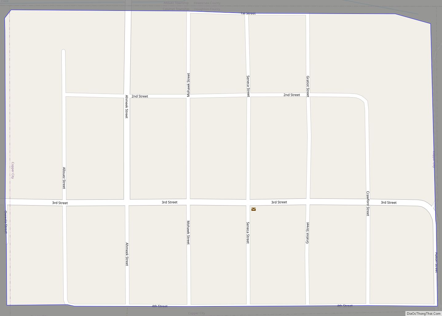
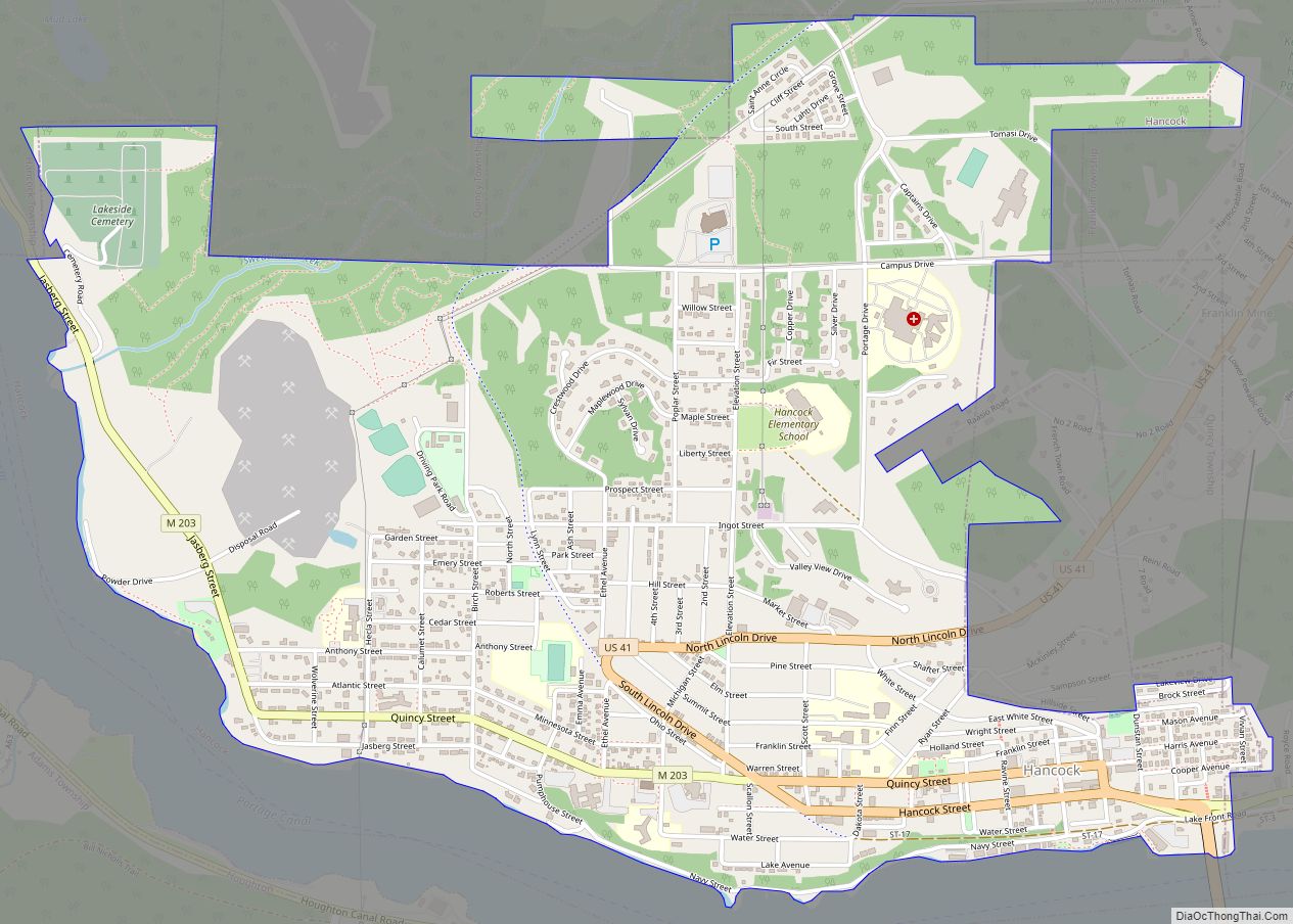
Hancock Road Map
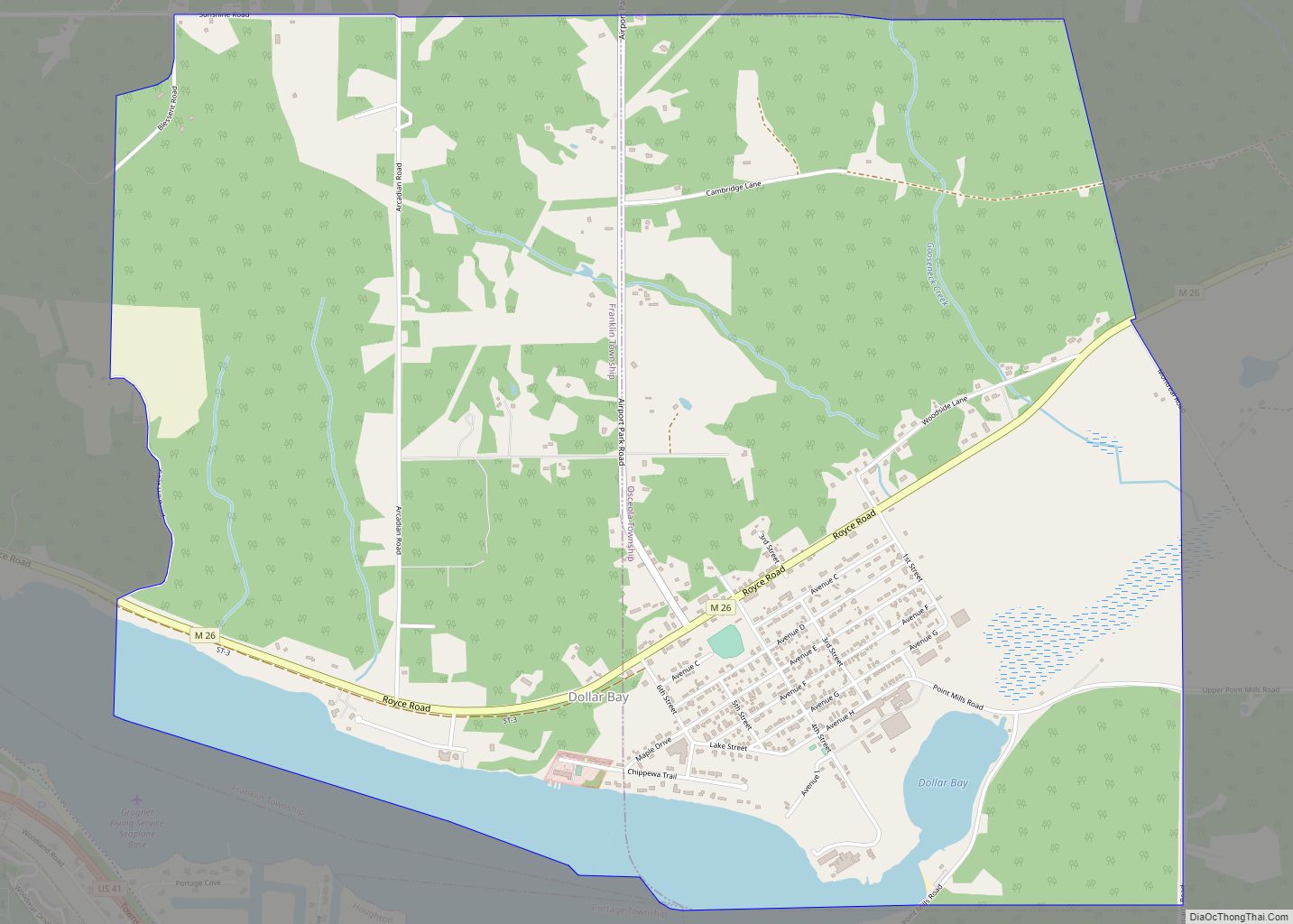
Hancock city Satellite Map
Geography
The City of Hancock is further north than Montreal in Quebec, Canada. According to the United States Census Bureau, the city has an area of 2.97 square miles (7.69 km), of which 2.60 square miles (6.73 km) is land and 0.37 square miles (0.96 km) is water. Hancock is connected to Houghton by the Portage Lake Lift Bridge, which crosses the dredged Keweenaw Waterway. The Keweenaw Waterway effectively slices the Keweenaw in two. Both Houghton and Hancock are on 500-foot bluffs.
The city is bounded on the south by the Portage Canal, parts of Quincy, Hancock and Franklin Townships; on the east by West Ripley; and on the north by Quincy and Hancock Townships. Other communities that share a border with Hancock include Ripley and Arcadian Location.
Climate
Hancock has a humid continental climate, with long and snowy winters and much lake effect snow. It is the third-snowiest city in the United States, the snowiest city in the Midwestern United States, and the snowiest city in the Eastern United States, with snowfall averaging 211.7 inches or 5.38 metres per year. The city is along the Keweenaw Peninsula. In 1978–79, a whopping 390 inches or 9.91 metres of snow fell in Hancock. Accumulating snow has been known to fall as late as early June here.
See also
Map of Michigan State and its subdivision:- Alcona
- Alger
- Allegan
- Alpena
- Antrim
- Arenac
- Baraga
- Barry
- Bay
- Benzie
- Berrien
- Branch
- Calhoun
- Cass
- Charlevoix
- Cheboygan
- Chippewa
- Clare
- Clinton
- Crawford
- Delta
- Dickinson
- Eaton
- Emmet
- Genesee
- Gladwin
- Gogebic
- Grand Traverse
- Gratiot
- Hillsdale
- Houghton
- Huron
- Ingham
- Ionia
- Iosco
- Iron
- Isabella
- Jackson
- Kalamazoo
- Kalkaska
- Kent
- Keweenaw
- Lake
- Lake Hurron
- Lake Michigan
- Lake St. Clair
- Lake Superior
- Lapeer
- Leelanau
- Lenawee
- Livingston
- Luce
- Mackinac
- Macomb
- Manistee
- Marquette
- Mason
- Mecosta
- Menominee
- Midland
- Missaukee
- Monroe
- Montcalm
- Montmorency
- Muskegon
- Newaygo
- Oakland
- Oceana
- Ogemaw
- Ontonagon
- Osceola
- Oscoda
- Otsego
- Ottawa
- Presque Isle
- Roscommon
- Saginaw
- Saint Clair
- Saint Joseph
- Sanilac
- Schoolcraft
- Shiawassee
- Tuscola
- Van Buren
- Washtenaw
- Wayne
- Wexford
- Alabama
- Alaska
- Arizona
- Arkansas
- California
- Colorado
- Connecticut
- Delaware
- District of Columbia
- Florida
- Georgia
- Hawaii
- Idaho
- Illinois
- Indiana
- Iowa
- Kansas
- Kentucky
- Louisiana
- Maine
- Maryland
- Massachusetts
- Michigan
- Minnesota
- Mississippi
- Missouri
- Montana
- Nebraska
- Nevada
- New Hampshire
- New Jersey
- New Mexico
- New York
- North Carolina
- North Dakota
- Ohio
- Oklahoma
- Oregon
- Pennsylvania
- Rhode Island
- South Carolina
- South Dakota
- Tennessee
- Texas
- Utah
- Vermont
- Virginia
- Washington
- West Virginia
- Wisconsin
- Wyoming
