Marshall is a U.S. city in Michigan. It is the county seat of Calhoun County. The population was 6,822 at the 2020 census.
Marshall is best known for its cross-section of 19th- and early 20th-century architecture. It has been referred to by the keeper of the National Register of Historic Places as a “virtual textbook of 19th-Century American architecture.” Its historic center is the Marshall Historic District, one of the nation’s largest architecturally significant National Historic Landmark Districts. The Landmark has over 850 buildings, including the world-famous Honolulu House.
| Name: | Marshall city |
|---|---|
| LSAD Code: | 25 |
| LSAD Description: | city (suffix) |
| State: | Michigan |
| County: | Calhoun County |
| Incorporated: | 1836 (village) 1849 (city) |
| Elevation: | 919 ft (280 m) |
| Total Area: | 6.61 sq mi (17.12 km²) |
| Land Area: | 6.49 sq mi (16.82 km²) |
| Water Area: | 0.12 sq mi (0.30 km²) |
| Total Population: | 6,822 |
| Population Density: | 1,050.67/sq mi (405.66/km²) |
| ZIP code: | 49068-49069 |
| Area code: | 269 |
| FIPS code: | 2651940 |
| GNISfeature ID: | 631630 |
| Website: | cityofmarshall.com |
Online Interactive Map
Click on ![]() to view map in "full screen" mode.
to view map in "full screen" mode.
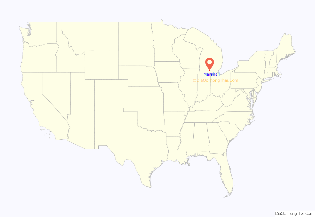
Marshall location map. Where is Marshall city?
History
The town was founded by Sidney Ketchum (1797-1862) in 1830, a land surveyor who had been born in Clinton County, New York, in conjunction with his brother, George Ketchum (1794-1853). The Ketchum brothers explored central lower Michigan in 1830, and in late 1830 Sidney Ketchum obtained government grants for the land on which most of Marshall now stands. The early settlers named the community in honor of Chief Justice of the United States John Marshall from Virginia—whom they greatly admired. This occurred five years before Marshall’s death and thus was the first of dozens of communities and counties named for him. The village of Marshall was incorporated March 28, 1836.
Marshall was thought to be the frontrunner for state capital, so much so that a Governor’s Mansion was built, but the town lost by one vote to Lansing. In the years thereafter, Marshall became known for its patent medicine industry until the Pure Drug Act of 1906. Marshall was involved in the Underground Railroad. When escaped slave Adam Crosswhite fled Kentucky and settled in Marshall with his wife and three children, the people of the town hid him from the posse sent to retrieve him. Those involved were tried in Federal Court and found guilty of denying a man his rightful property. This case and others like it caused the Fugitive Slave Act of 1850 to be pushed through Congress.
Two Marshall citizens, Rev. John D. Pierce and lawyer Isaac E. Crary, innovated the Michigan school system and established it as part of the state constitution. Their method and format were later adopted by all the states in the old Northwest Territory and became the foundation for the Morrill Land-Grant Act in 1862, which established schools like Michigan State University all over the country. Pierce became the country’s first state superintendent of public instruction and Crary Michigan’s first member of the U.S. House.
The first railroad labor union in the U.S., The Brotherhood of the Footboard (later renamed the Brotherhood of Locomotive Engineers and Trainmen), was formed in Marshall in 1863. Marshall was one of the only stops between Chicago and Detroit and became known as the Chicken Pie city because the only thing one could get to eat in the time it took to cool and switch engines was a chicken pie. A replica of the city’s roundhouse can be seen at the Greenfield Village outdoor living history museum in Dearborn, Michigan.
On July 2010, an oil pipeline, owned by Enbridge Energy, ruptured, spilling over 850,000 gallons of crude oil into Talmadge Creek and into the Kalamazoo, River. The event received national attention as it was at that time the largest oil spill in the inside the United States. The event was known as the Kalamazoo River Oil Spill.
In 2012 the U.S. National Transportation Safety Board stated the Enbridge oil spill in the Kalamazoo River near Marshall was the costliest onshore cleanup in U.S. history.
In 2018, the Marshall Area Economic Development Alliance began promoting the “Marshall Megasite,” as a Mega Industrial Park. The proposed site is a 1,600 acre tract of rural land (owned by separate landowners) just outside Marshall’s city limits.
Stand against slavery
In 1843, Adam Crosswhite, his wife Sarah and their four children ran away from Francis Giltner’s plantation in Hunter’s Bottom, Carroll County, Kentucky because the Crosswhites learned that one of their four children was to be sold. The Crosswhites made the tough journey north through Indiana along the Underground Railroad, beginning in Madison, Indiana. They finally settled in Marshall where they were accepted and Adam worked and built a cabin.
In response to increasing numbers of runaway slaves, a coalition of slave owners in the north central counties and the Bluegrass region of Kentucky organized to recover the runaways. In January of 1846, Francis Giltner’s son David Giltner and three others went to Marshall to capture the Crosswhite family.
On the morning of January 26, 1847, as the slave catchers and a local deputy sheriff were pounding on Adam’s door, his neighbors heard the noise and came running. The cry of “slave catchers!” was yelled through the streets of Marshall. Soon over 100 people surrounded the Crosswhite home.
Threats were shouted back and forth. One of the slave catchers began to demand that people in the crowd give him their names. They were proud to tell him and even told him the correct spelling. Each name was written down in a little book. Finally, the deputy sheriff, swayed by the crowd’s opinion, decided he should arrest the men from Kentucky instead. Marshall townspeople hid the Crosswhites in the attic of George Ingersoll’s mill. By the time the slave catchers could post bond and get out of jail, Isaac Jacobs, the hostler at the Marshall House, had hired a covered wagon and driven the Crosswhites to Jackson where they boarded a train to Detroit and then crossed over into Canada.
The Giltners sued some of the people from Marshall for damages in what is known in federal records as the Giltner v. Gorham case. It was tried in the federal court in Detroit. The Giltner v Gorham case resulted in two trials in federal court in Detroit, the first trial ending in a hung jury. At the conclusion of the second trial, the sole remaining defendant in the case, local banker Charles T. Gorham, was ordered to pay the value of the slaves plus court costs. To curry political favor, Detroit entrepreneur Zachariah Chandler supposedly stepped in to pay these costs on Gorham’s behalf.
Because of the Crosswhite Affair and many others like it, Sen. Henry Clay from Kentucky pushed a new law through Congress in 1850 known as the Fugitive Slave Law, which made it very risky for anyone to help an escaped slave.
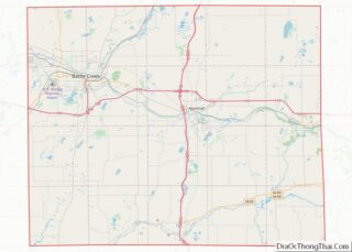
Marshall Road Map
Marshall city Satellite Map
Geography
According to the United States Census Bureau, the city has a total area of 6.40 square miles (16.58 km), of which 6.28 square miles (16.27 km) is land and 0.12 square miles (0.31 km) is water.
See also
Map of Michigan State and its subdivision:- Alcona
- Alger
- Allegan
- Alpena
- Antrim
- Arenac
- Baraga
- Barry
- Bay
- Benzie
- Berrien
- Branch
- Calhoun
- Cass
- Charlevoix
- Cheboygan
- Chippewa
- Clare
- Clinton
- Crawford
- Delta
- Dickinson
- Eaton
- Emmet
- Genesee
- Gladwin
- Gogebic
- Grand Traverse
- Gratiot
- Hillsdale
- Houghton
- Huron
- Ingham
- Ionia
- Iosco
- Iron
- Isabella
- Jackson
- Kalamazoo
- Kalkaska
- Kent
- Keweenaw
- Lake
- Lake Hurron
- Lake Michigan
- Lake St. Clair
- Lake Superior
- Lapeer
- Leelanau
- Lenawee
- Livingston
- Luce
- Mackinac
- Macomb
- Manistee
- Marquette
- Mason
- Mecosta
- Menominee
- Midland
- Missaukee
- Monroe
- Montcalm
- Montmorency
- Muskegon
- Newaygo
- Oakland
- Oceana
- Ogemaw
- Ontonagon
- Osceola
- Oscoda
- Otsego
- Ottawa
- Presque Isle
- Roscommon
- Saginaw
- Saint Clair
- Saint Joseph
- Sanilac
- Schoolcraft
- Shiawassee
- Tuscola
- Van Buren
- Washtenaw
- Wayne
- Wexford
- Alabama
- Alaska
- Arizona
- Arkansas
- California
- Colorado
- Connecticut
- Delaware
- District of Columbia
- Florida
- Georgia
- Hawaii
- Idaho
- Illinois
- Indiana
- Iowa
- Kansas
- Kentucky
- Louisiana
- Maine
- Maryland
- Massachusetts
- Michigan
- Minnesota
- Mississippi
- Missouri
- Montana
- Nebraska
- Nevada
- New Hampshire
- New Jersey
- New Mexico
- New York
- North Carolina
- North Dakota
- Ohio
- Oklahoma
- Oregon
- Pennsylvania
- Rhode Island
- South Carolina
- South Dakota
- Tennessee
- Texas
- Utah
- Vermont
- Virginia
- Washington
- West Virginia
- Wisconsin
- Wyoming
