Memphis is a city that straddles the border between Macomb and St. Clair counties in the U.S. state of Michigan. The population was 1,084 at the 2020 census.
| Name: | Memphis city |
|---|---|
| LSAD Code: | 25 |
| LSAD Description: | city (suffix) |
| State: | Michigan |
| County: | Macomb County, St. Clair County |
| Elevation: | 755 ft (230 m) |
| Total Area: | 1.15 sq mi (2.98 km²) |
| Land Area: | 1.12 sq mi (2.91 km²) |
| Water Area: | 0.03 sq mi (0.08 km²) |
| Total Population: | 1,084 |
| Population Density: | 966.13/sq mi (373.05/km²) |
| Area code: | 810 |
| FIPS code: | 2652960 |
| GNISfeature ID: | 1624727 |
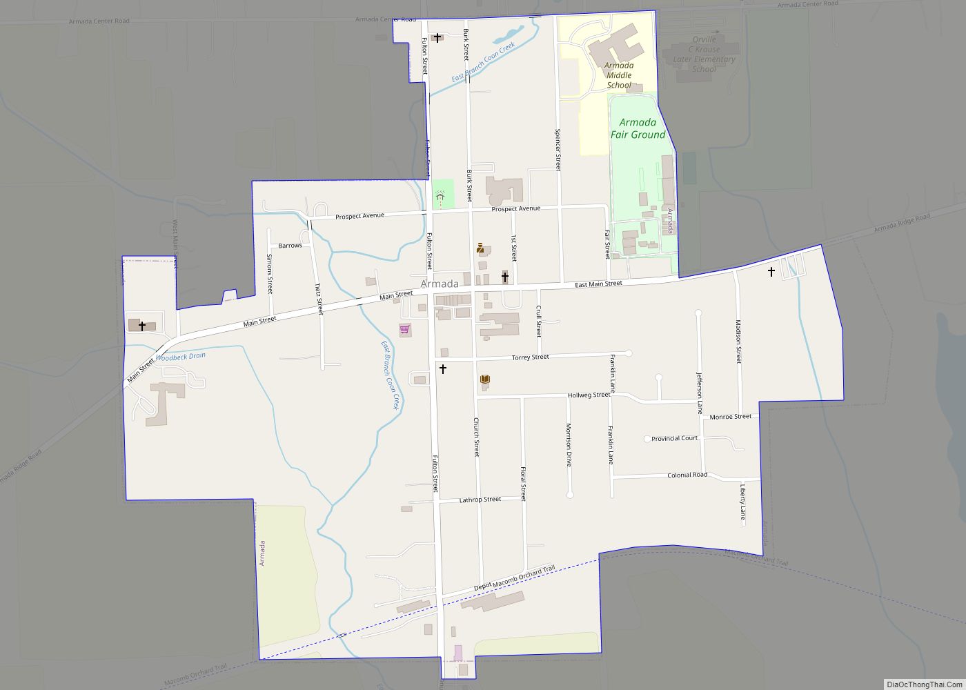
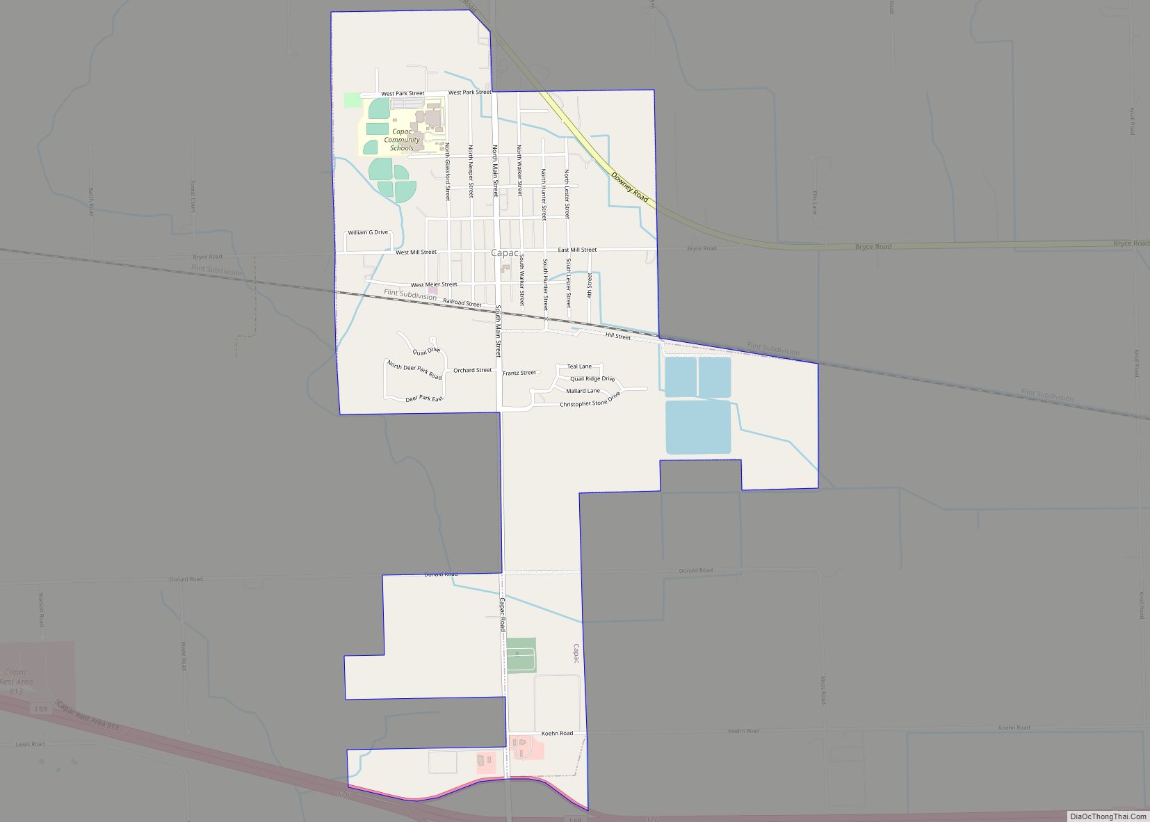
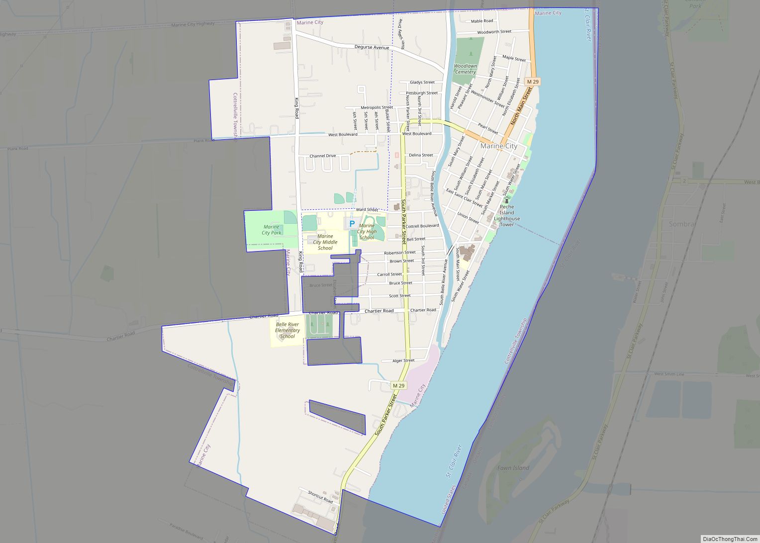
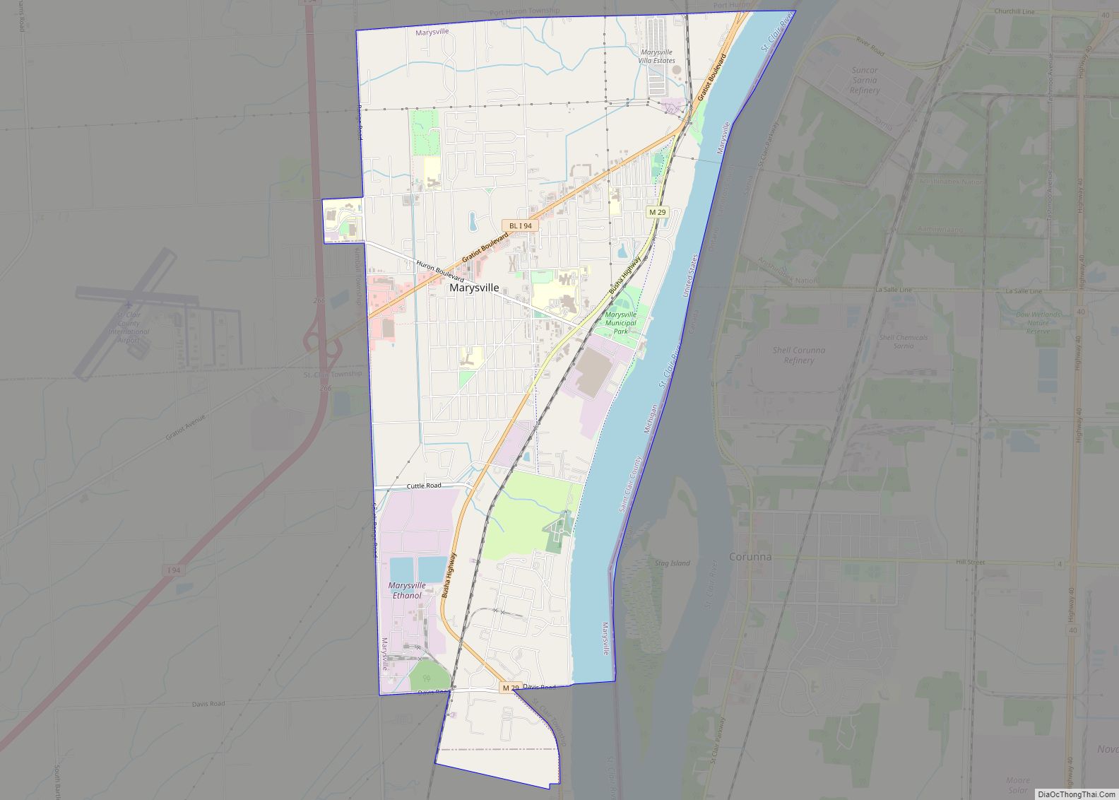
Online Interactive Map
Click on ![]() to view map in "full screen" mode.
to view map in "full screen" mode.
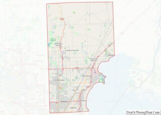
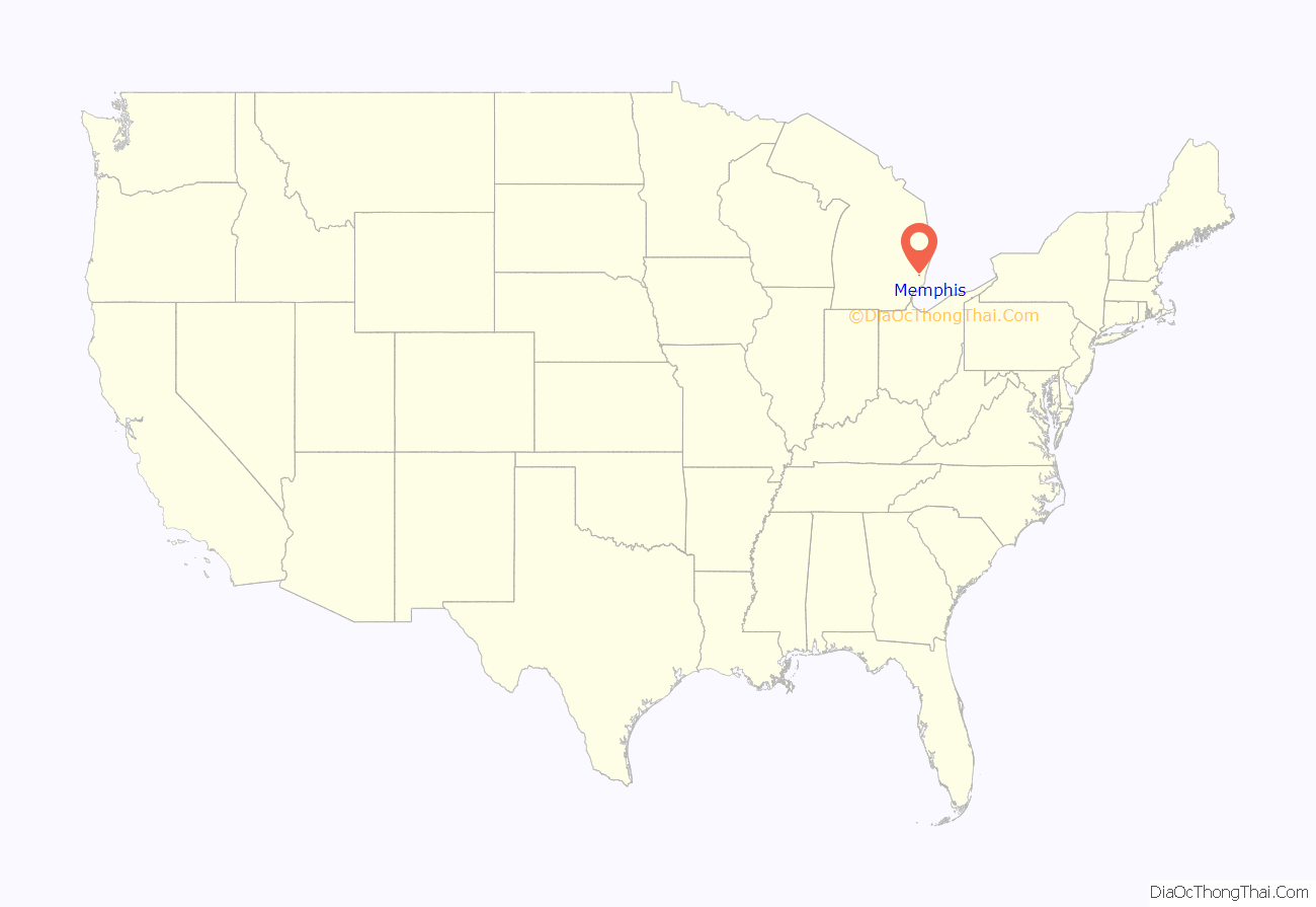
Memphis location map. Where is Memphis city?
History
The first European Americans to settle in the area of Memphis were members of the Wells family from Albany, New York; Anthony Wells resided here from 1834 and James Wells from 1835. The fledgling community was originally called Wells Settlement after them.
The name “Memphis” was chosen and applied in 1848 when a US Post Office was established. The village was named for its location on a bluff overlooking the Belle River, which settlers likened to the position of the ancient Egyptian Memphis, “the City on the Nile”. Memphis was incorporated as a village on 4 April 1865. It did not attain the status of a city until 1953.
The area was originally developed for agriculture, as most settlers were farmers. As lumbering became a major industry in Michigan, log rafts were floated down the Belle River into the St. Clair River, and south to Detroit. Some lumber was processed in Memphis and Marine City, Michigan, where there was a major shipbuilding industry. Much was shipped to developing midwestern cities such as Chicago and further east.
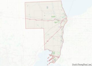
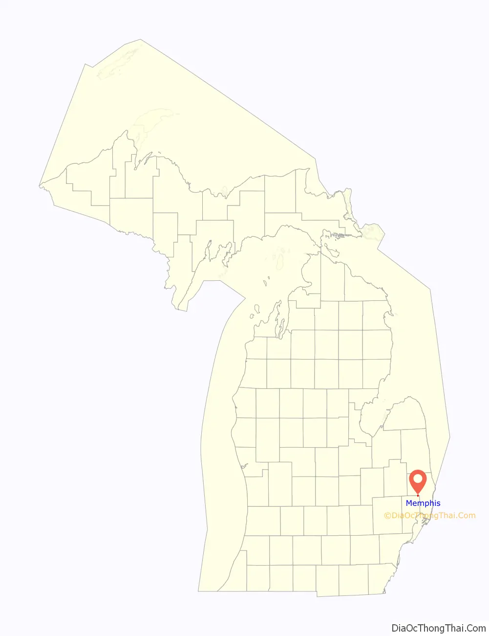
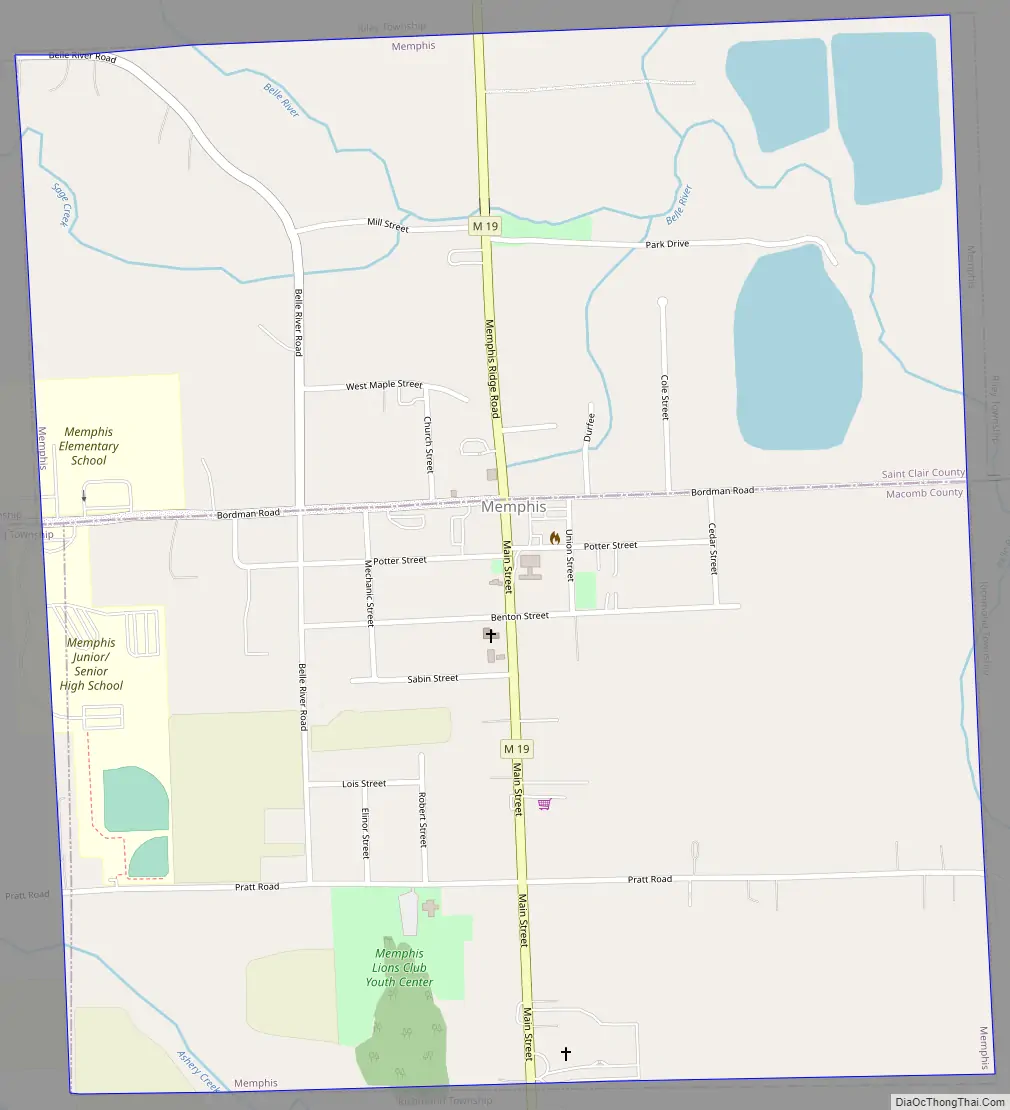
Memphis Road Map
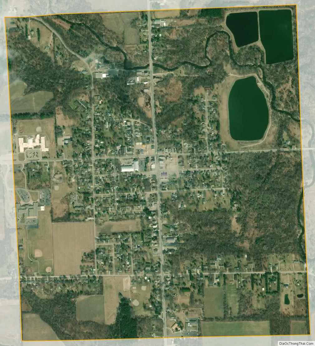
Memphis city Satellite Map
Geography
According to the United States Census Bureau, the city has a total area of 1.15 square miles (2.98 km), of which 1.12 square miles (2.90 km) is land and 0.03 square miles (0.08 km) is water. The city is evenly divided between Macomb and St. Clair counties, and developed on both sides of the Belle River.
See also
Map of Michigan State and its subdivision:- Alcona
- Alger
- Allegan
- Alpena
- Antrim
- Arenac
- Baraga
- Barry
- Bay
- Benzie
- Berrien
- Branch
- Calhoun
- Cass
- Charlevoix
- Cheboygan
- Chippewa
- Clare
- Clinton
- Crawford
- Delta
- Dickinson
- Eaton
- Emmet
- Genesee
- Gladwin
- Gogebic
- Grand Traverse
- Gratiot
- Hillsdale
- Houghton
- Huron
- Ingham
- Ionia
- Iosco
- Iron
- Isabella
- Jackson
- Kalamazoo
- Kalkaska
- Kent
- Keweenaw
- Lake
- Lake Hurron
- Lake Michigan
- Lake St. Clair
- Lake Superior
- Lapeer
- Leelanau
- Lenawee
- Livingston
- Luce
- Mackinac
- Macomb
- Manistee
- Marquette
- Mason
- Mecosta
- Menominee
- Midland
- Missaukee
- Monroe
- Montcalm
- Montmorency
- Muskegon
- Newaygo
- Oakland
- Oceana
- Ogemaw
- Ontonagon
- Osceola
- Oscoda
- Otsego
- Ottawa
- Presque Isle
- Roscommon
- Saginaw
- Saint Clair
- Saint Joseph
- Sanilac
- Schoolcraft
- Shiawassee
- Tuscola
- Van Buren
- Washtenaw
- Wayne
- Wexford
- Alabama
- Alaska
- Arizona
- Arkansas
- California
- Colorado
- Connecticut
- Delaware
- District of Columbia
- Florida
- Georgia
- Hawaii
- Idaho
- Illinois
- Indiana
- Iowa
- Kansas
- Kentucky
- Louisiana
- Maine
- Maryland
- Massachusetts
- Michigan
- Minnesota
- Mississippi
- Missouri
- Montana
- Nebraska
- Nevada
- New Hampshire
- New Jersey
- New Mexico
- New York
- North Carolina
- North Dakota
- Ohio
- Oklahoma
- Oregon
- Pennsylvania
- Rhode Island
- South Carolina
- South Dakota
- Tennessee
- Texas
- Utah
- Vermont
- Virginia
- Washington
- West Virginia
- Wisconsin
- Wyoming