Montrose is a city in Genesee County in the U.S. state of Michigan. The population was 1,657 at the 2010 census. Once part of the surrounding Montrose Township, the city itself incorporated in 1980, and both are now administered autonomously.
| Name: | Montrose city |
|---|---|
| LSAD Code: | 25 |
| LSAD Description: | city (suffix) |
| State: | Michigan |
| County: | Genesee County |
| Incorporated: | 1899 (village) 1980 (city) |
| Elevation: | 673 ft (205 m) |
| Total Area: | 0.98 sq mi (2.53 km²) |
| Land Area: | 0.98 sq mi (2.53 km²) |
| Water Area: | 0.00 sq mi (0.00 km²) |
| Total Population: | 1,743 |
| Population Density: | 1,784.03/sq mi (689.05/km²) |
| Area code: | 810 |
| FIPS code: | 2655280 |
| GNISfeature ID: | 0632609 |
| Website: | www.cityofmontrose.us |
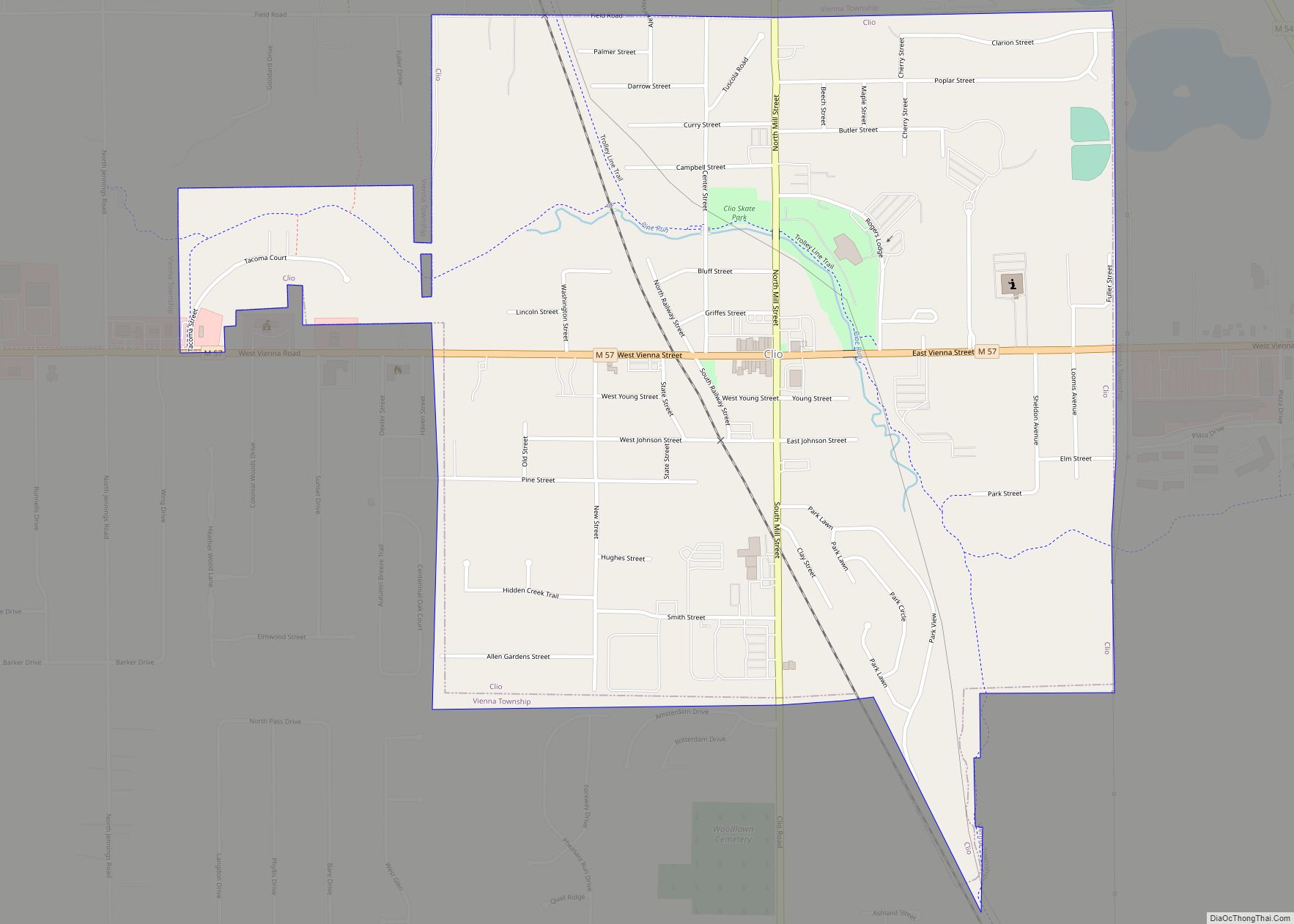
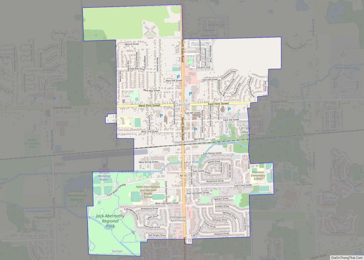
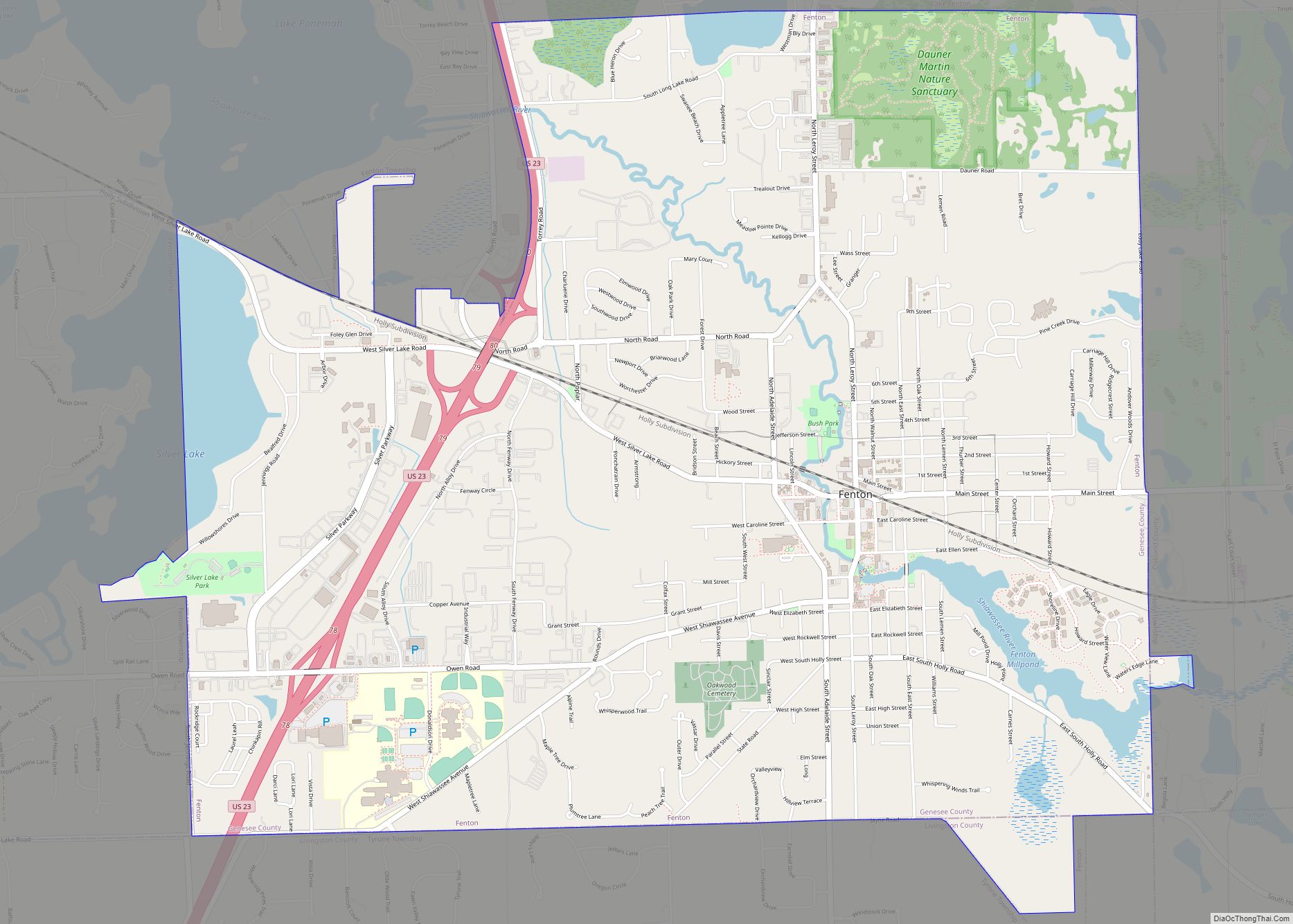
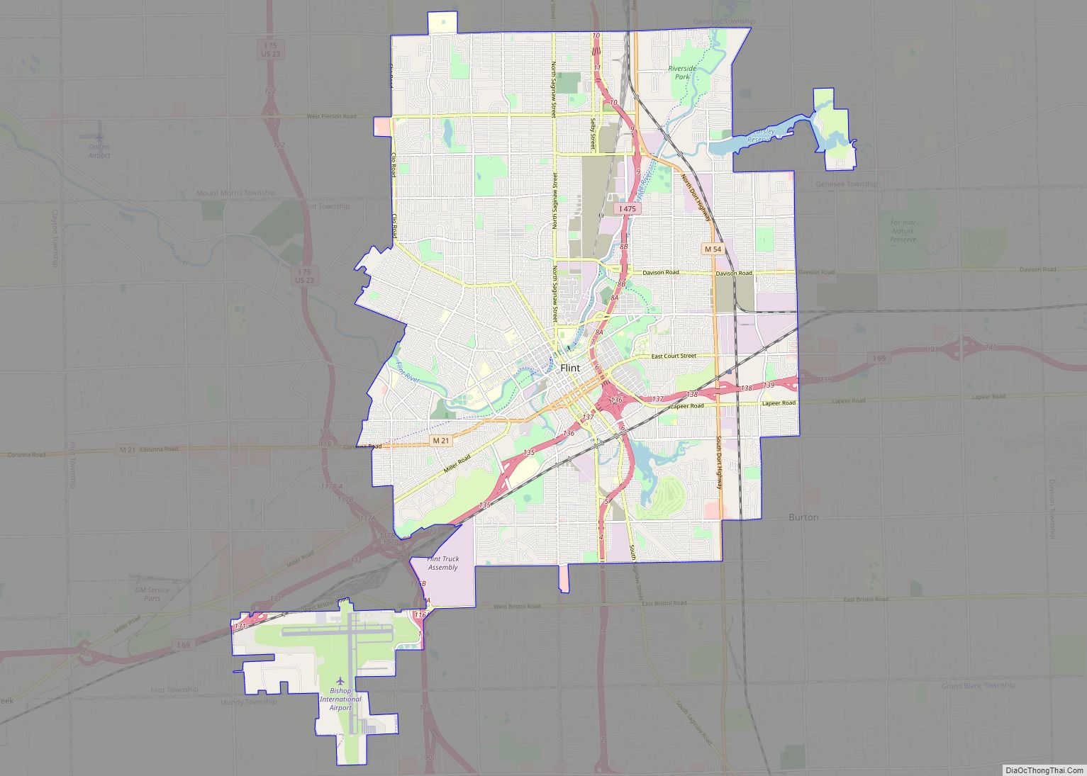
Online Interactive Map
Click on ![]() to view map in "full screen" mode.
to view map in "full screen" mode.
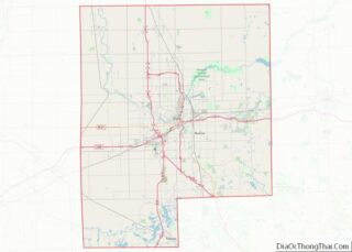
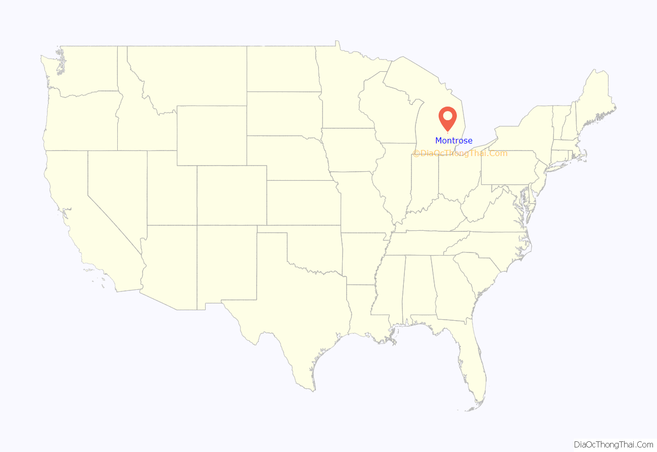
Montrose location map. Where is Montrose city?

History
Seymour W. Ensign, originally from New York then Saginaw, became the first white residents of present-day Montrose in 1842. The village of Montrose was incorporated from a portion of the Montrose Township in 1899. In 1980, the village became a city.
On Monday November 27, 2017, the northern loop set of Genesee County municipalities, including Montrose, began receiving water from the Karegnondi Water Authority pipeline and treated by Genesee County Drain Commission Water and Waste Division.
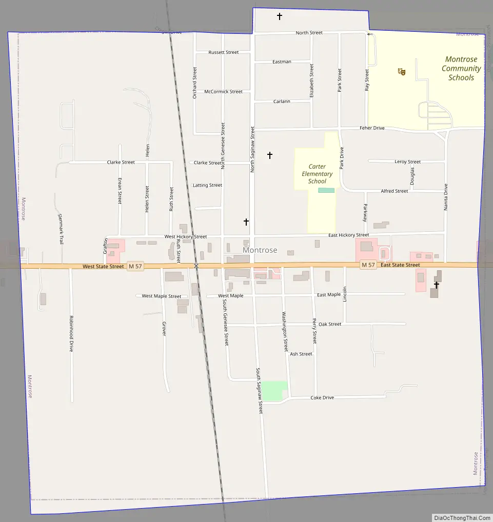
Montrose Road Map
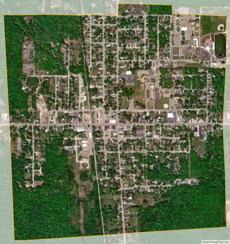
Montrose city Satellite Map
See also
Map of Michigan State and its subdivision:- Alcona
- Alger
- Allegan
- Alpena
- Antrim
- Arenac
- Baraga
- Barry
- Bay
- Benzie
- Berrien
- Branch
- Calhoun
- Cass
- Charlevoix
- Cheboygan
- Chippewa
- Clare
- Clinton
- Crawford
- Delta
- Dickinson
- Eaton
- Emmet
- Genesee
- Gladwin
- Gogebic
- Grand Traverse
- Gratiot
- Hillsdale
- Houghton
- Huron
- Ingham
- Ionia
- Iosco
- Iron
- Isabella
- Jackson
- Kalamazoo
- Kalkaska
- Kent
- Keweenaw
- Lake
- Lake Hurron
- Lake Michigan
- Lake St. Clair
- Lake Superior
- Lapeer
- Leelanau
- Lenawee
- Livingston
- Luce
- Mackinac
- Macomb
- Manistee
- Marquette
- Mason
- Mecosta
- Menominee
- Midland
- Missaukee
- Monroe
- Montcalm
- Montmorency
- Muskegon
- Newaygo
- Oakland
- Oceana
- Ogemaw
- Ontonagon
- Osceola
- Oscoda
- Otsego
- Ottawa
- Presque Isle
- Roscommon
- Saginaw
- Saint Clair
- Saint Joseph
- Sanilac
- Schoolcraft
- Shiawassee
- Tuscola
- Van Buren
- Washtenaw
- Wayne
- Wexford
- Alabama
- Alaska
- Arizona
- Arkansas
- California
- Colorado
- Connecticut
- Delaware
- District of Columbia
- Florida
- Georgia
- Hawaii
- Idaho
- Illinois
- Indiana
- Iowa
- Kansas
- Kentucky
- Louisiana
- Maine
- Maryland
- Massachusetts
- Michigan
- Minnesota
- Mississippi
- Missouri
- Montana
- Nebraska
- Nevada
- New Hampshire
- New Jersey
- New Mexico
- New York
- North Carolina
- North Dakota
- Ohio
- Oklahoma
- Oregon
- Pennsylvania
- Rhode Island
- South Carolina
- South Dakota
- Tennessee
- Texas
- Utah
- Vermont
- Virginia
- Washington
- West Virginia
- Wisconsin
- Wyoming