Plainwell is a city in Allegan County in the U.S. state of Michigan. The population was 3,804 at the 2010 census.
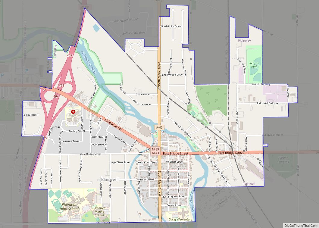
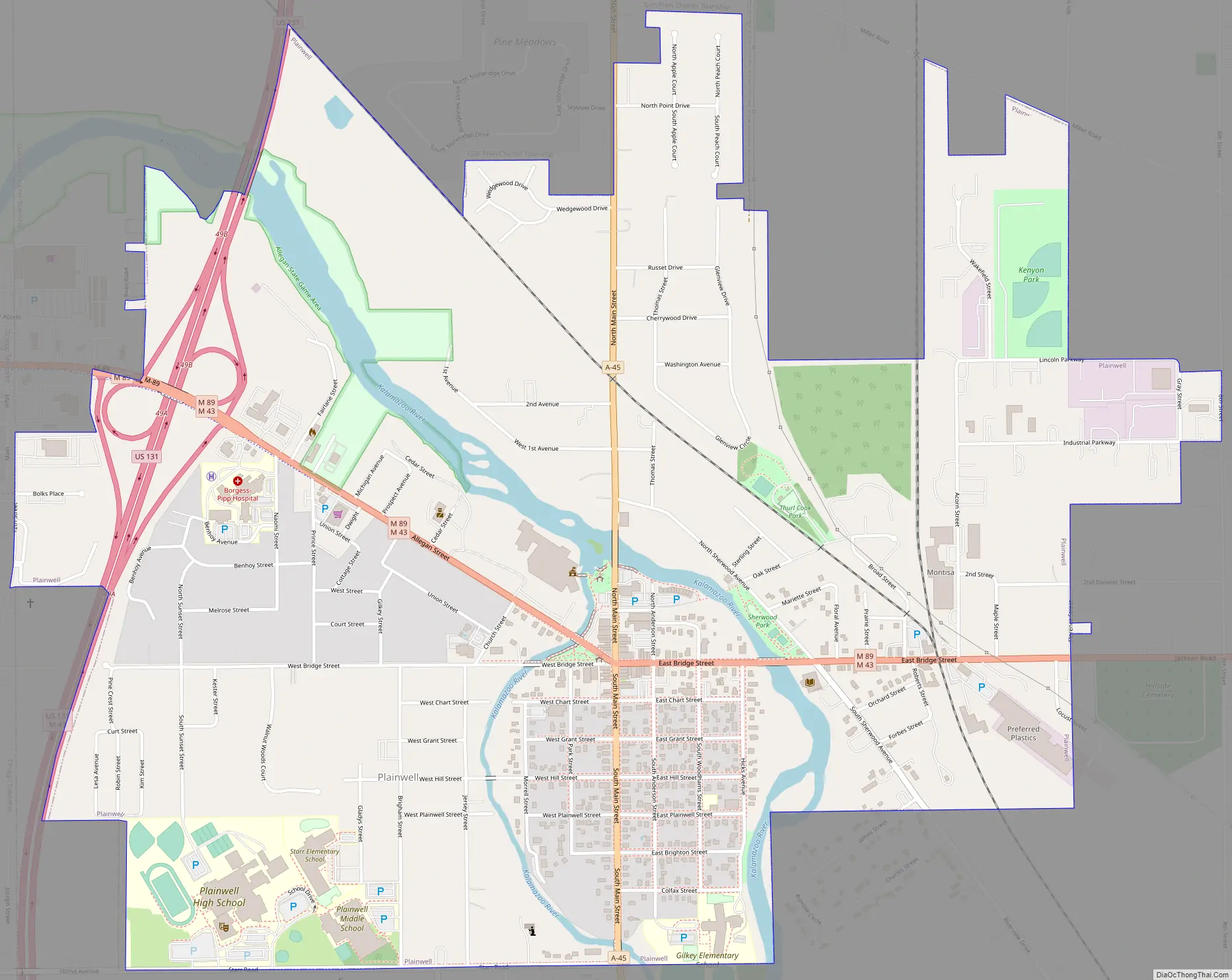
Plainwell is located on M-89 just east of its junction with US 131. The city of Otsego is about three miles (4.8 km) to the west. The city of Kalamazoo is about ten miles (16 km) to the south, and the city of Grand Rapids is about thirty-five miles (56 km) to the north. The Kalamazoo River flows through the center of the city and it is known as “The Island City”.
| Name: | Plainwell city |
|---|---|
| LSAD Code: | 25 |
| LSAD Description: | city (suffix) |
| State: | Michigan |
| County: | Allegan County |
| Elevation: | 728 ft (222 m) |
| Total Area: | 2.07 sq mi (5.37 km²) |
| Land Area: | 1.99 sq mi (5.16 km²) |
| Water Area: | 0.08 sq mi (0.21 km²) |
| Total Population: | 3,788 |
| Population Density: | 1,901.61/sq mi (734.19/km²) |
| ZIP code: | 49080 |
| Area code: | 269 |
| FIPS code: | 2664740 |
| GNISfeature ID: | 0635077 |
| Website: | www.plainwell.org |
Online Interactive Map
Click on ![]() to view map in "full screen" mode.
to view map in "full screen" mode.
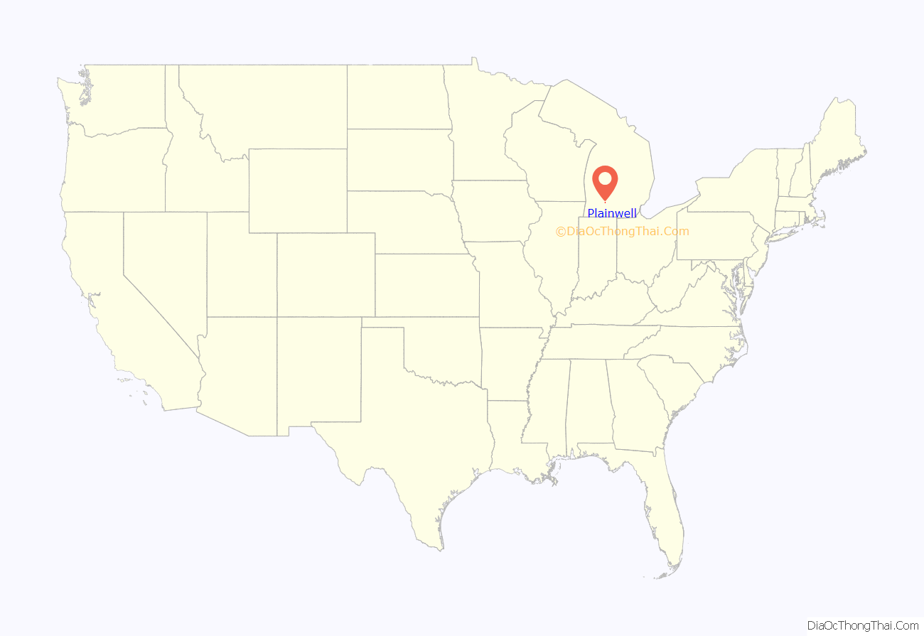
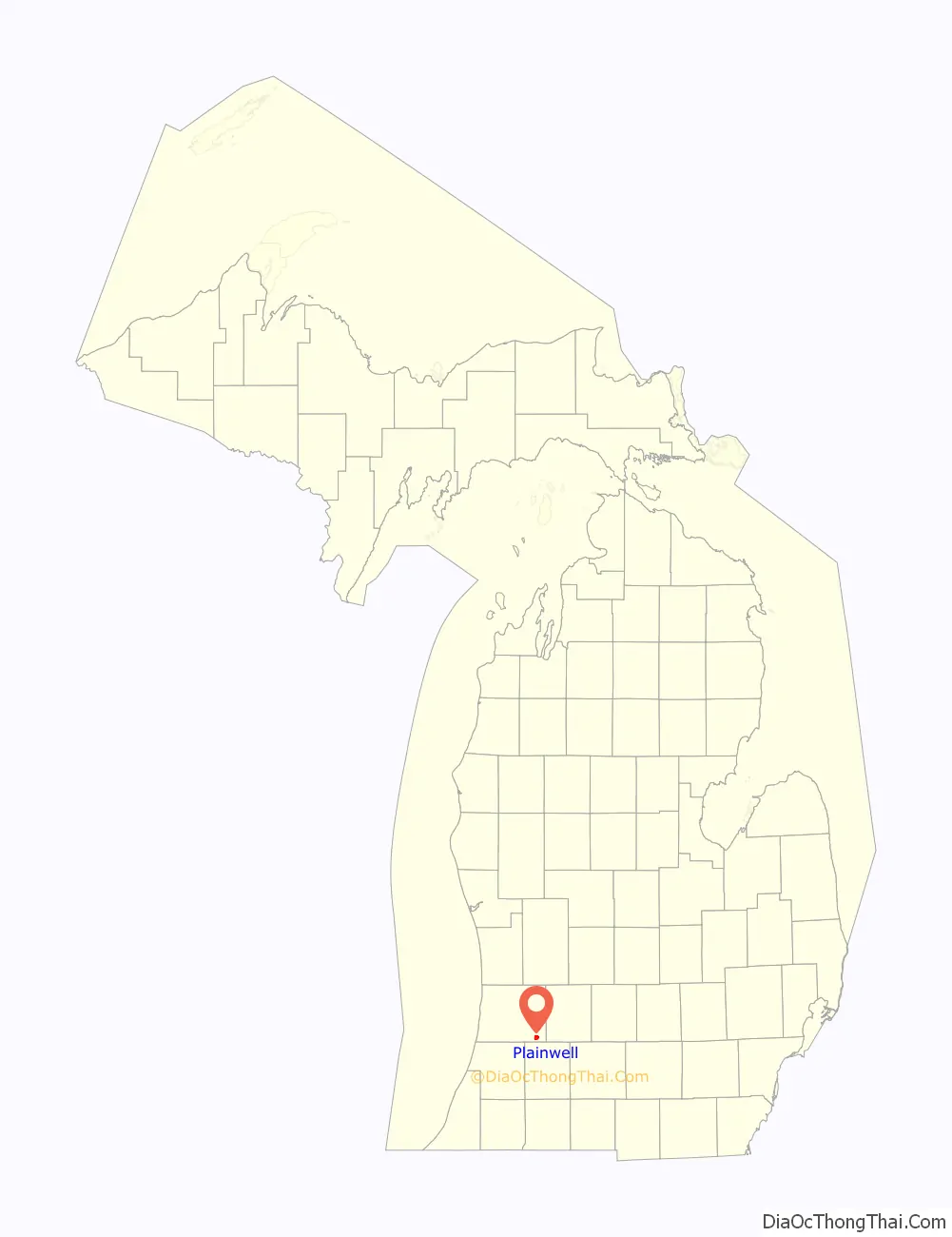
Plainwell location map. Where is Plainwell city?
History
This part of Michigan was settled in the 1830s, after the removal of native people. Allegan County was organized in 1835, and the Plainwell area was settled soon after. It was on a stagecoach route from Kalamazoo to Grand Rapids, and later the Grand Rapids and Indiana Railroad was constructed along the same route. After the advent of the automobile, U.S. Route 131 was created and run through the town. In the 1960s, an improved 4-lane US-131 was built west of town to connect Kalamazoo and Grand Rapids, with an interchange on M-89 between Plainwell and Otsego. This allowed the town to become a kind of “bedroom community” for Kalamazoo or the southern part of Grand Rapids.
The city is home to a local JBS meat processing plant that employs 1,300 workers, On April 20, 2020, the plant reported 60 cases and 1 death from COVID-19 during the 2019–20 coronavirus pandemic. On April 27, 2020, 86 employees were reported to have been infected with COVID-19. The plant remains open with safety precautions established such as others wearing face masks and installed plexiglas between people who work shoulder to shoulder.
Plainwell Road Map
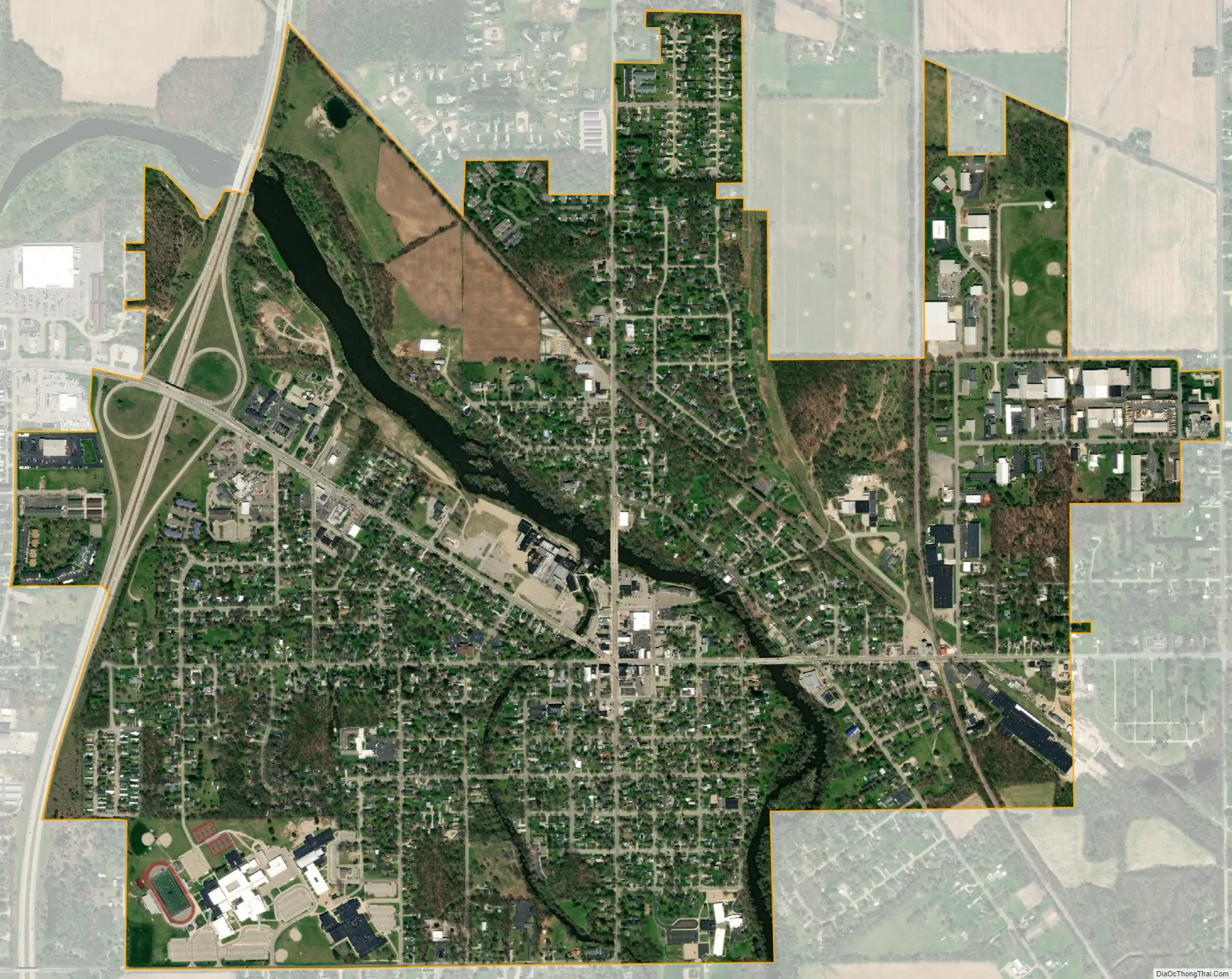
Plainwell city Satellite Map
Geography
According to the United States Census Bureau, the city has a total area of 2.06 square miles (5.34 km), of which 1.98 square miles (5.13 km) is land and 0.08 square miles (0.21 km) is water. The nickname Island City has to do with a power canal which diverts a portion of the Kalamazoo River around the downtown area, causing it to be an island.
Major highways
- US 131 is a freeway that is located in the western portion of the city.
- M-43 follows M-89 for most of its route in Plainwell, but soon has a concurrency with U.S. 131 just before the city line.
- M-89 has a concurrency with M-43 for most of its route in Plainwell, but continues west alone into Otsego.
See also
Map of Michigan State and its subdivision:- Alcona
- Alger
- Allegan
- Alpena
- Antrim
- Arenac
- Baraga
- Barry
- Bay
- Benzie
- Berrien
- Branch
- Calhoun
- Cass
- Charlevoix
- Cheboygan
- Chippewa
- Clare
- Clinton
- Crawford
- Delta
- Dickinson
- Eaton
- Emmet
- Genesee
- Gladwin
- Gogebic
- Grand Traverse
- Gratiot
- Hillsdale
- Houghton
- Huron
- Ingham
- Ionia
- Iosco
- Iron
- Isabella
- Jackson
- Kalamazoo
- Kalkaska
- Kent
- Keweenaw
- Lake
- Lake Hurron
- Lake Michigan
- Lake St. Clair
- Lake Superior
- Lapeer
- Leelanau
- Lenawee
- Livingston
- Luce
- Mackinac
- Macomb
- Manistee
- Marquette
- Mason
- Mecosta
- Menominee
- Midland
- Missaukee
- Monroe
- Montcalm
- Montmorency
- Muskegon
- Newaygo
- Oakland
- Oceana
- Ogemaw
- Ontonagon
- Osceola
- Oscoda
- Otsego
- Ottawa
- Presque Isle
- Roscommon
- Saginaw
- Saint Clair
- Saint Joseph
- Sanilac
- Schoolcraft
- Shiawassee
- Tuscola
- Van Buren
- Washtenaw
- Wayne
- Wexford
- Alabama
- Alaska
- Arizona
- Arkansas
- California
- Colorado
- Connecticut
- Delaware
- District of Columbia
- Florida
- Georgia
- Hawaii
- Idaho
- Illinois
- Indiana
- Iowa
- Kansas
- Kentucky
- Louisiana
- Maine
- Maryland
- Massachusetts
- Michigan
- Minnesota
- Mississippi
- Missouri
- Montana
- Nebraska
- Nevada
- New Hampshire
- New Jersey
- New Mexico
- New York
- North Carolina
- North Dakota
- Ohio
- Oklahoma
- Oregon
- Pennsylvania
- Rhode Island
- South Carolina
- South Dakota
- Tennessee
- Texas
- Utah
- Vermont
- Virginia
- Washington
- West Virginia
- Wisconsin
- Wyoming