South Range is a village in Adams Township, Houghton County in the U.S. state of Michigan. It is bordered on the east by the unincorporated community of Baltic. It is about five miles southwest of Houghton on M-26. The population was 758 at the 2010 census. The ZIP code for South Range is 49963.
It is a “cooperating community of the Keweenaw National Historical Park.”
| Name: | South Range village |
|---|---|
| LSAD Code: | 47 |
| LSAD Description: | village (suffix) |
| State: | Michigan |
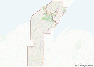
| County: | Houghton County |
| Elevation: | 1,139 ft (347 m) |
| Total Area: | 0.36 sq mi (0.94 km²) |
| Land Area: | 0.36 sq mi (0.94 km²) |
| Water Area: | 0.00 sq mi (0.00 km²) |
| Total Population: | 750 |
| Population Density: | 2,060.44/sq mi (795.09/km²) |
| Area code: | 906 |
| FIPS code: | 2675220 |
| GNISfeature ID: | 0638402 |
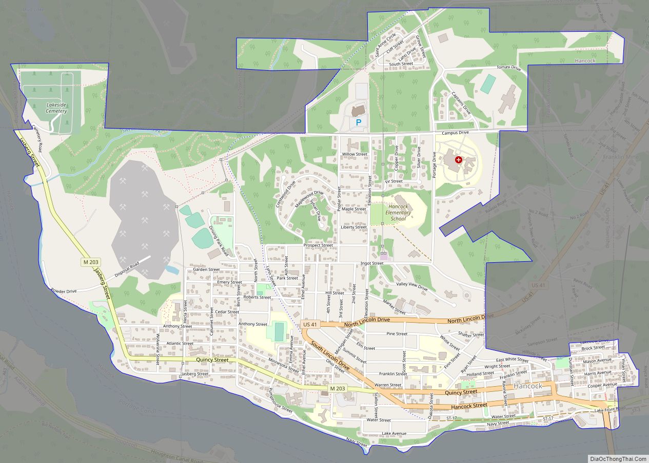
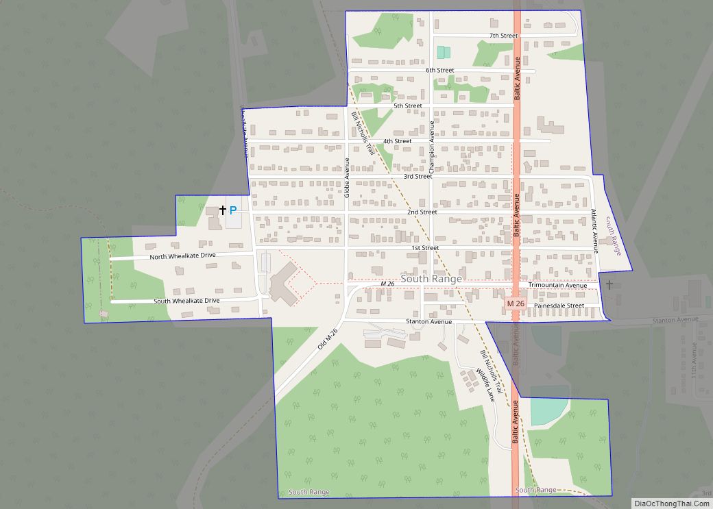
Online Interactive Map
Click on ![]() to view map in "full screen" mode.
to view map in "full screen" mode.
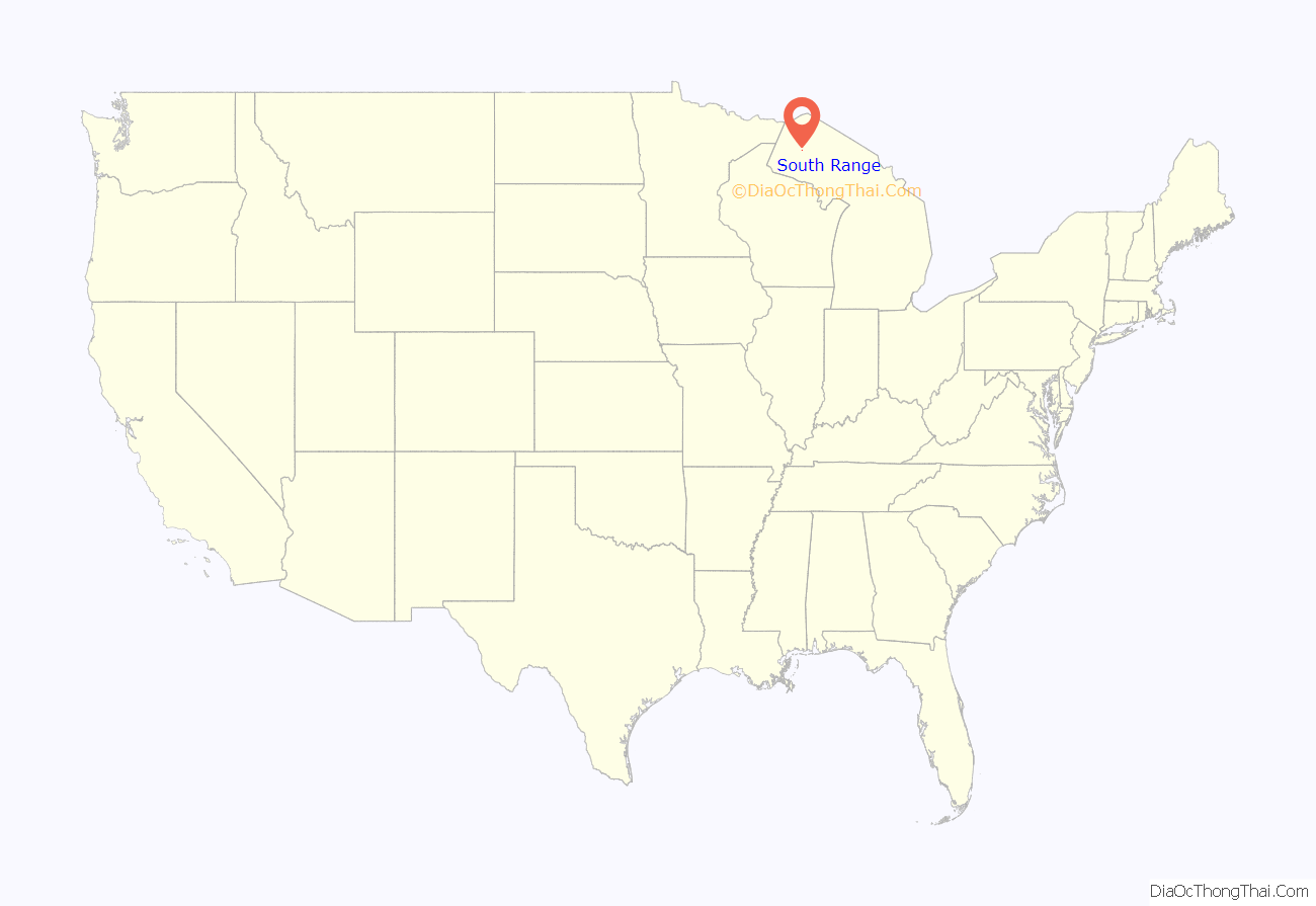
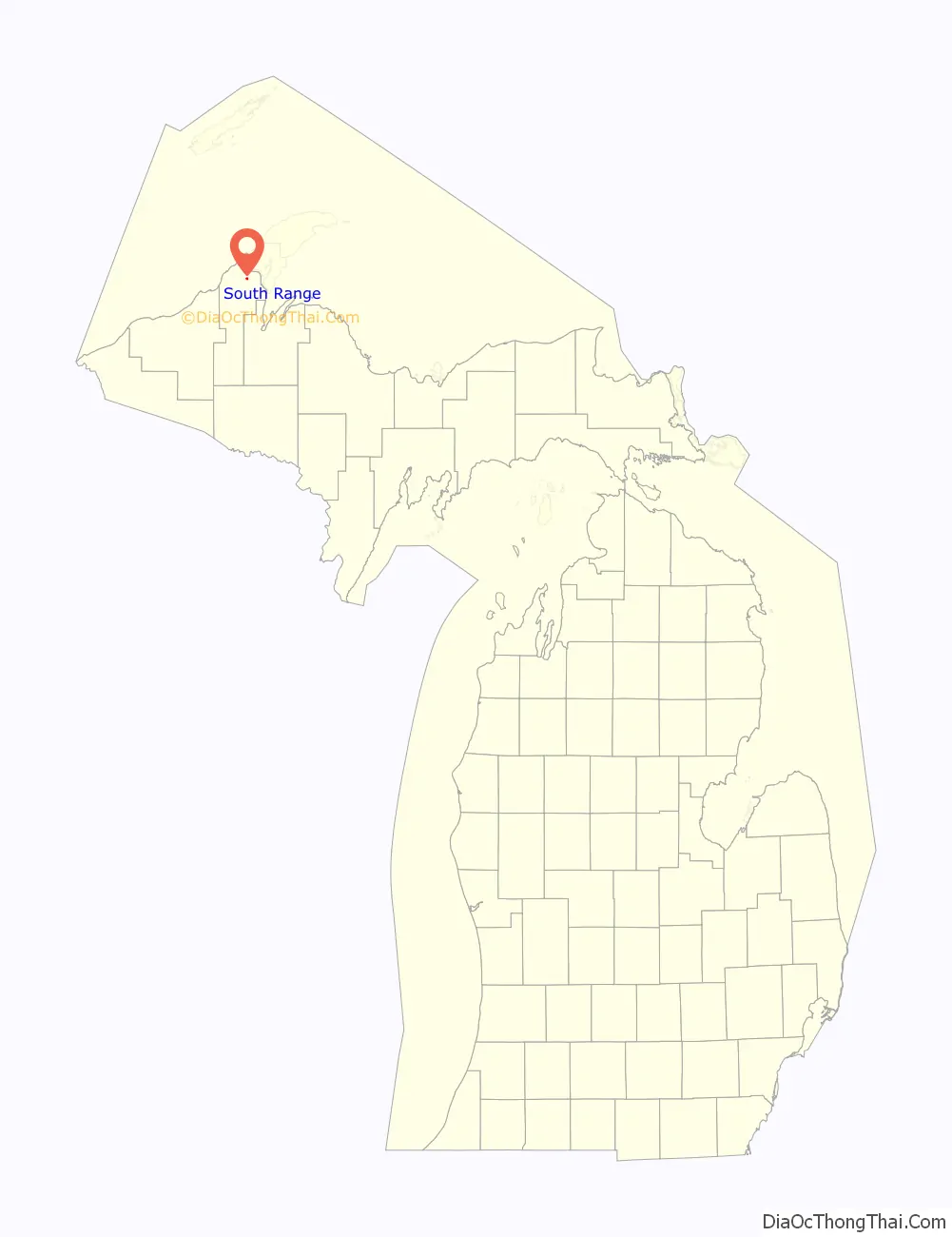
South Range location map. Where is South Range village?
History
South Range was platted in 1902 by the Wheal Kate Mining Company, which operated an unsuccessful copper mine nearby. In 1906 the community tried to incorporate as the town of Stanton, but there was already a Stanton, Michigan, so they incorporated as South Range, because it was at the south end of the Michigan copper range. Italians were the dominant ethnic group in early years.
On December 11, 1913, during the bitter Copper Country Strike of 1913–1914, a raid was conducted by the Citizens’ Alliance shortly after the mass murder at the Dally boardinghouse in Painesdale, Michigan which had occurred just a mere few days before. Thirty-seven rifles, and hundreds of rounds of ammunition was seized. Twenty-three strikers were arrested with guns ready to shoot up the area that night, and Deputy T. Driscoll was non-fatally shot in the arm during the raid.
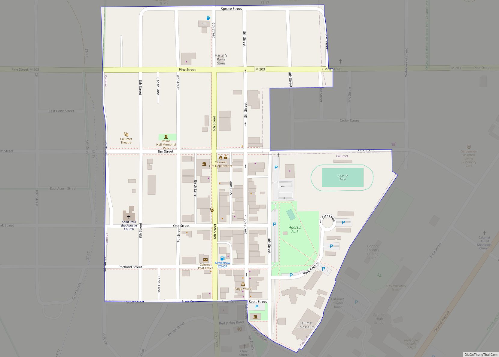
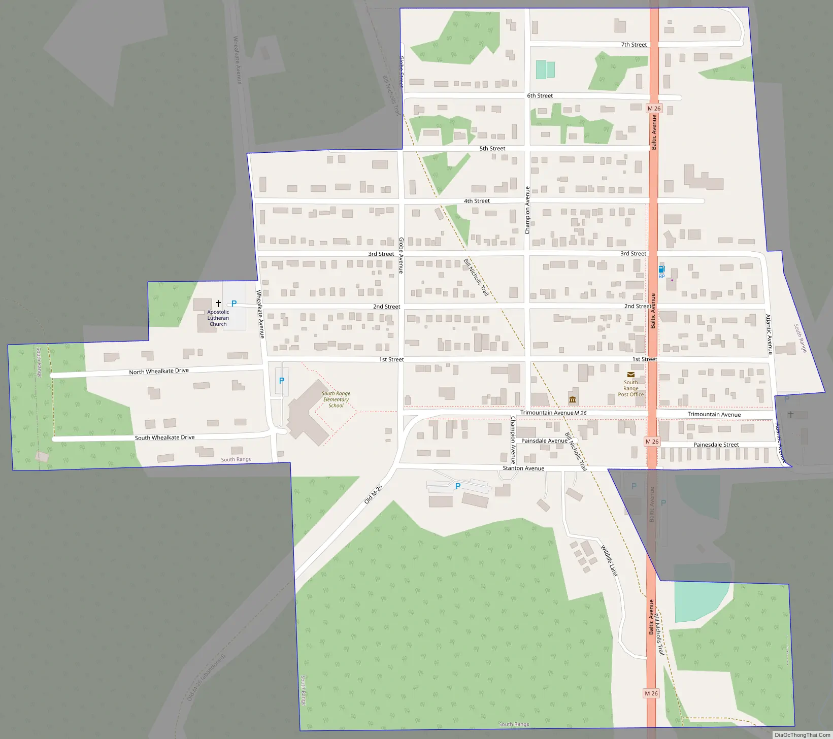
South Range Road Map
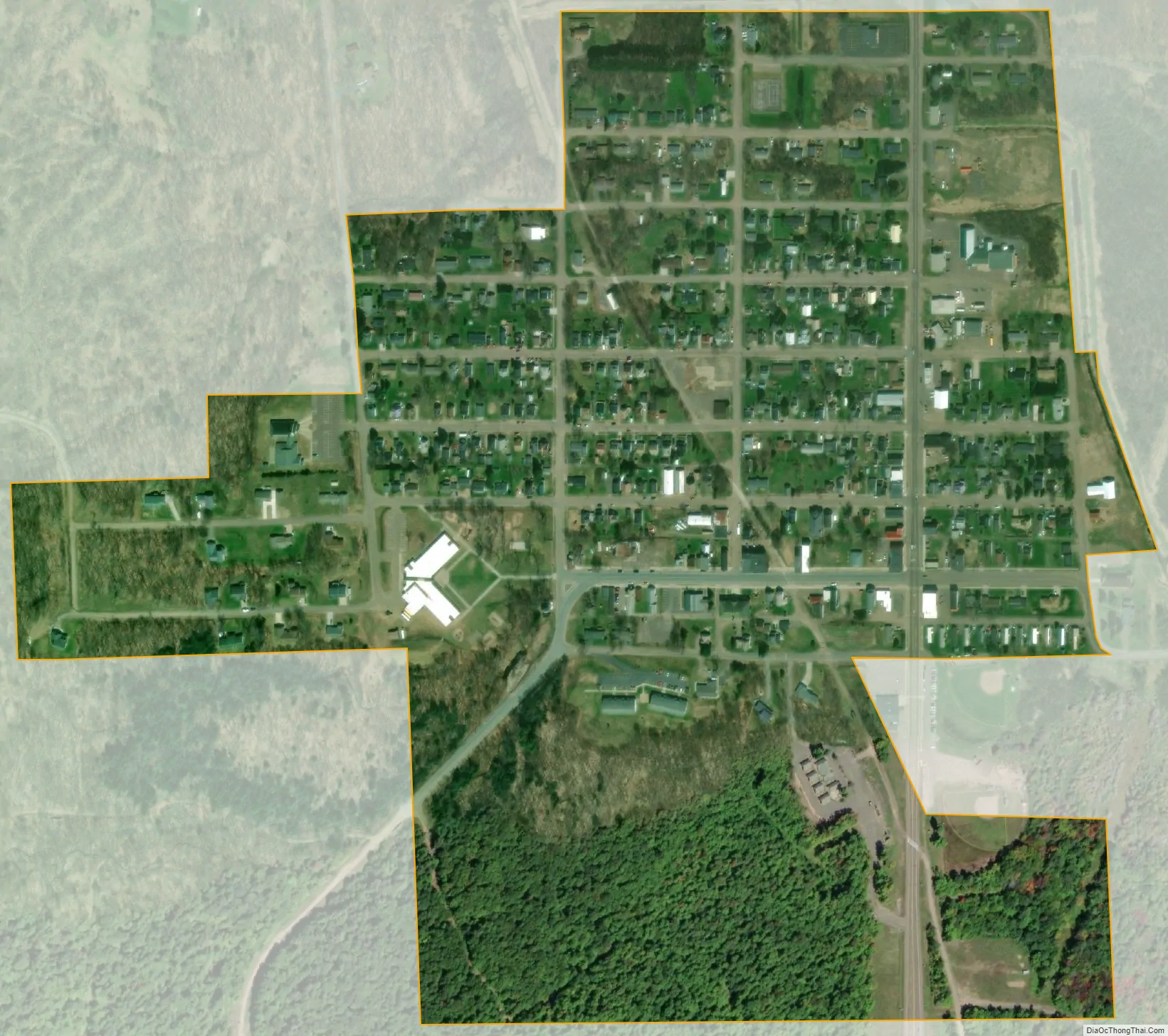
South Range city Satellite Map
Geography
According to the United States Census Bureau, the village has a total area of 0.36 square miles (0.93 km), all land.
See also
Map of Michigan State and its subdivision:- Alcona
- Alger
- Allegan
- Alpena
- Antrim
- Arenac
- Baraga
- Barry
- Bay
- Benzie
- Berrien
- Branch
- Calhoun
- Cass
- Charlevoix
- Cheboygan
- Chippewa
- Clare
- Clinton
- Crawford
- Delta
- Dickinson
- Eaton
- Emmet
- Genesee
- Gladwin
- Gogebic
- Grand Traverse
- Gratiot
- Hillsdale
- Houghton
- Huron
- Ingham
- Ionia
- Iosco
- Iron
- Isabella
- Jackson
- Kalamazoo
- Kalkaska
- Kent
- Keweenaw
- Lake
- Lake Hurron
- Lake Michigan
- Lake St. Clair
- Lake Superior
- Lapeer
- Leelanau
- Lenawee
- Livingston
- Luce
- Mackinac
- Macomb
- Manistee
- Marquette
- Mason
- Mecosta
- Menominee
- Midland
- Missaukee
- Monroe
- Montcalm
- Montmorency
- Muskegon
- Newaygo
- Oakland
- Oceana
- Ogemaw
- Ontonagon
- Osceola
- Oscoda
- Otsego
- Ottawa
- Presque Isle
- Roscommon
- Saginaw
- Saint Clair
- Saint Joseph
- Sanilac
- Schoolcraft
- Shiawassee
- Tuscola
- Van Buren
- Washtenaw
- Wayne
- Wexford
- Alabama
- Alaska
- Arizona
- Arkansas
- California
- Colorado
- Connecticut
- Delaware
- District of Columbia
- Florida
- Georgia
- Hawaii
- Idaho
- Illinois
- Indiana
- Iowa
- Kansas
- Kentucky
- Louisiana
- Maine
- Maryland
- Massachusetts
- Michigan
- Minnesota
- Mississippi
- Missouri
- Montana
- Nebraska
- Nevada
- New Hampshire
- New Jersey
- New Mexico
- New York
- North Carolina
- North Dakota
- Ohio
- Oklahoma
- Oregon
- Pennsylvania
- Rhode Island
- South Carolina
- South Dakota
- Tennessee
- Texas
- Utah
- Vermont
- Virginia
- Washington
- West Virginia
- Wisconsin
- Wyoming