St. Clair Shores is a suburban city bordering Lake St. Clair in Macomb County of the U.S. state of Michigan. It forms a part of the Metro Detroit area, and is located about 13 miles (21 km) northeast of downtown Detroit. Its population was 59,715 at the 2010 census.
| Name: | St. Clair Shores city |
|---|---|
| LSAD Code: | 25 |
| LSAD Description: | city (suffix) |
| State: | Michigan |
| County: | Macomb County |
| Elevation: | 577 ft (176 m) |
| Total Area: | 14.40 sq mi (37.30 km²) |
| Land Area: | 11.68 sq mi (30.25 km²) |
| Water Area: | 2.72 sq mi (7.04 km²) 18.63% |
| Total Population: | 58,874 |
| Population Density: | 5,040.15/sq mi (1,946.06/km²) |
| Area code: | 586 |
| FIPS code: | 2670760 |
| GNISfeature ID: | 0636601 |
| Website: | scsmi.net |
Online Interactive Map
Click on ![]() to view map in "full screen" mode.
to view map in "full screen" mode.
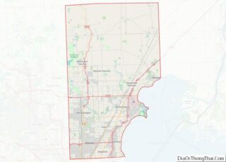
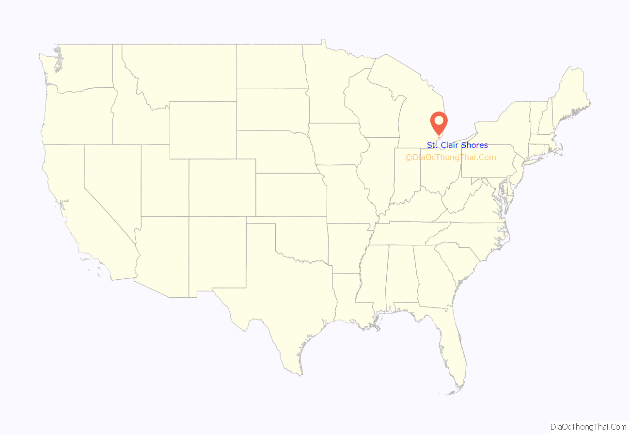
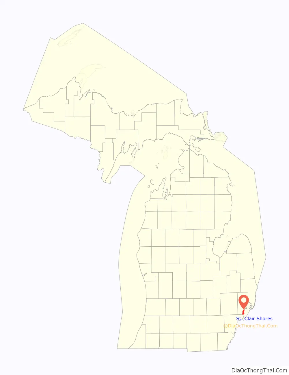
St. Clair Shores location map. Where is St. Clair Shores city?
History
Located along the shores of Lake St. Clair and inhabited by French settlers as early as 1710, during which time the area was referred to as L’anse Creuse, the future St. Clair Shores, Michigan, community would remain largely a rural farming area populated by largely French and German immigrant families into the early 20th century. These local family surnames have survived into the 21st century and can be found both in the surnames of current day residents and among numerous residential street names.
From 1835 until 1843, the area was part of Orange Township, among the first townships platted in Michigan and part of Macomb County, Michigan. In 1843, Orange Township was renamed Erin Township, in homage to the numerous Irish immigrants who had moved into the area and had begun to exert their political influence.
From 1843 until 1911, what would be incorporated as the Village of St. Clair Shores in 1925, was a part of Erin Township, parts of which make up today’s suburban municipalities of Eastpointe, Roseville, and St. Clair Shores. In 1911, the eastern portion of the township now occupied by St. Clair Shores was partitioned from Erin Township to become Lake Township, which existed until 2009, when residents of the village of Grosse Pointe Shores (that portion of Grosse Pointe Shores in Macomb County located within Lake Township) voted to incorporate as a city. The Village of St. Clair Shores remained a part of Lake Township until, after numerous failed attempts, its residents voted to incorporate as the City of St. Clair Shores in January 1951.
Beginning around the time of the First World War, the lakefront community quickly became a favored playground for gamblers, rum runners, and lakefront tourists alike, culminating during Prohibition, but continuing through the Second World War era. During these years, St. Clair Shores was the home to many popular roadhouses, blind pigs, and gambling establishments, such as the Blossom Heath Inn. St. Clair Shores’ lakefront location and proximity to Canada coupled with a receptive and often participative community made it an advantageous haven for rum runners, and the area was actively involved in the rum running era of Prohibition. Local residents, politicians, and law enforcement of the era were known to sometimes conflict with both state and federal officials over their attempts to regulate these illegal, but economically vital, activities within the community.
The Eagle Pointe subdivision, one of many platted within the Village of St. Clair Shores during the early 20th century, was platted along a part of the lake shore in 1916. During the next few decades, dozens of subdivisions were platted among the local farmland, but most were not developed in earnest until the after the Second World War, when St. Clair Shores became the fastest-growing suburb of Detroit during the 1950s.
From 1927 until 1959, the community was the location of the Jefferson Beach Amusement Park, once a major lakefront attraction for the Detroit area and beyond. Opened in 1927, it once boasted the longest roller coaster in the United States and numerous other midway attractions, a large, ornate lakefront dance pavilion, and a large, sandy beach popular with swimmers and sun bathers. In 1955, a fire destroyed some of the attractions and buildings within the once-popular park, and this, coupled with changing public tastes, accelerated its demise. While the owners of Jefferson Beach Amusement Park considered rebuilding, by this time the park was not popular with local government officials, and the city council had begun exploring forcing the closure of the facility or purchasing it for public use. Instead, the park owners, who had previously started building an onsite marina facility, began to expand that part of the facility. By 1959, the remaining park amusements and buildings were demolished to make room for the greatly enlarged Jefferson Beach Marina. All that remained of the once grand amusement park was its large, ornate lakefront dance coliseum, which for years thereafter was relegated to use as a marina storage facility and marine supply store until it, too, was destroyed by fire.
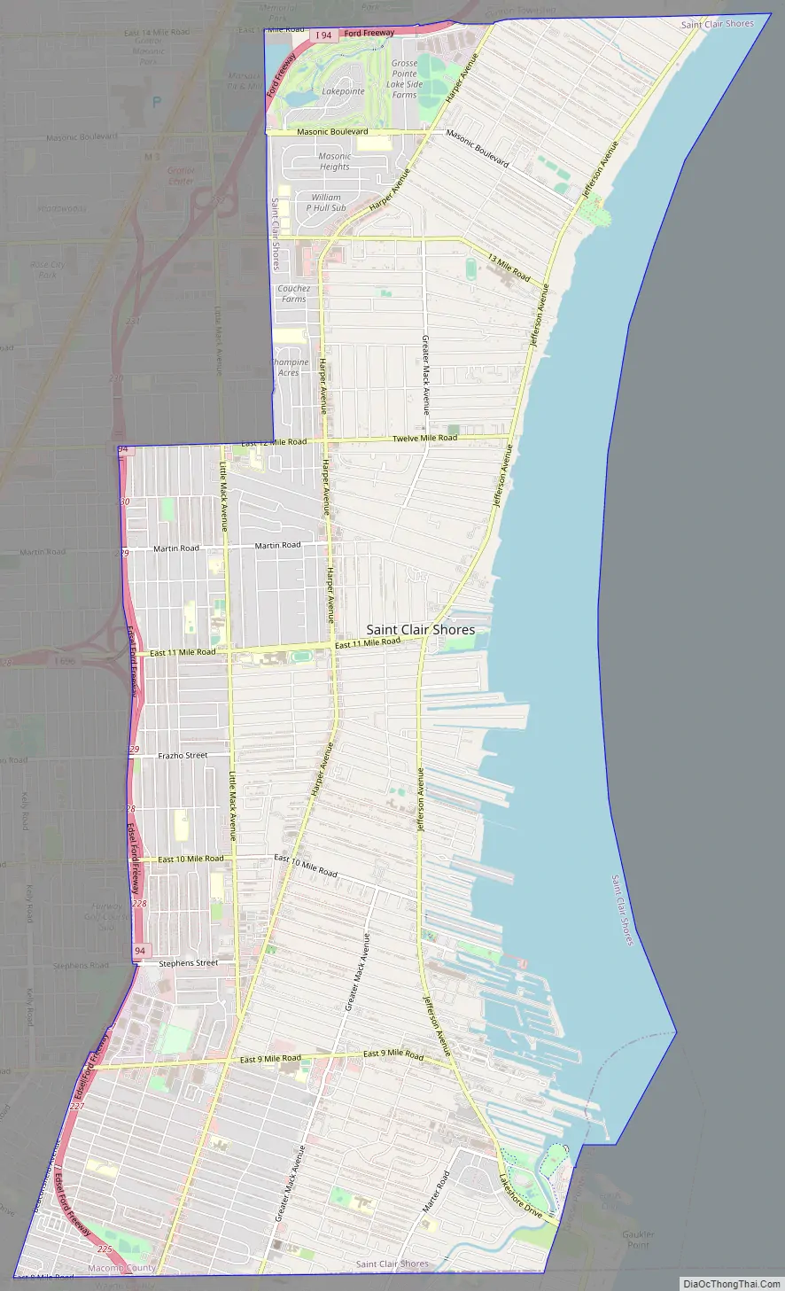
St. Clair Shores Road Map
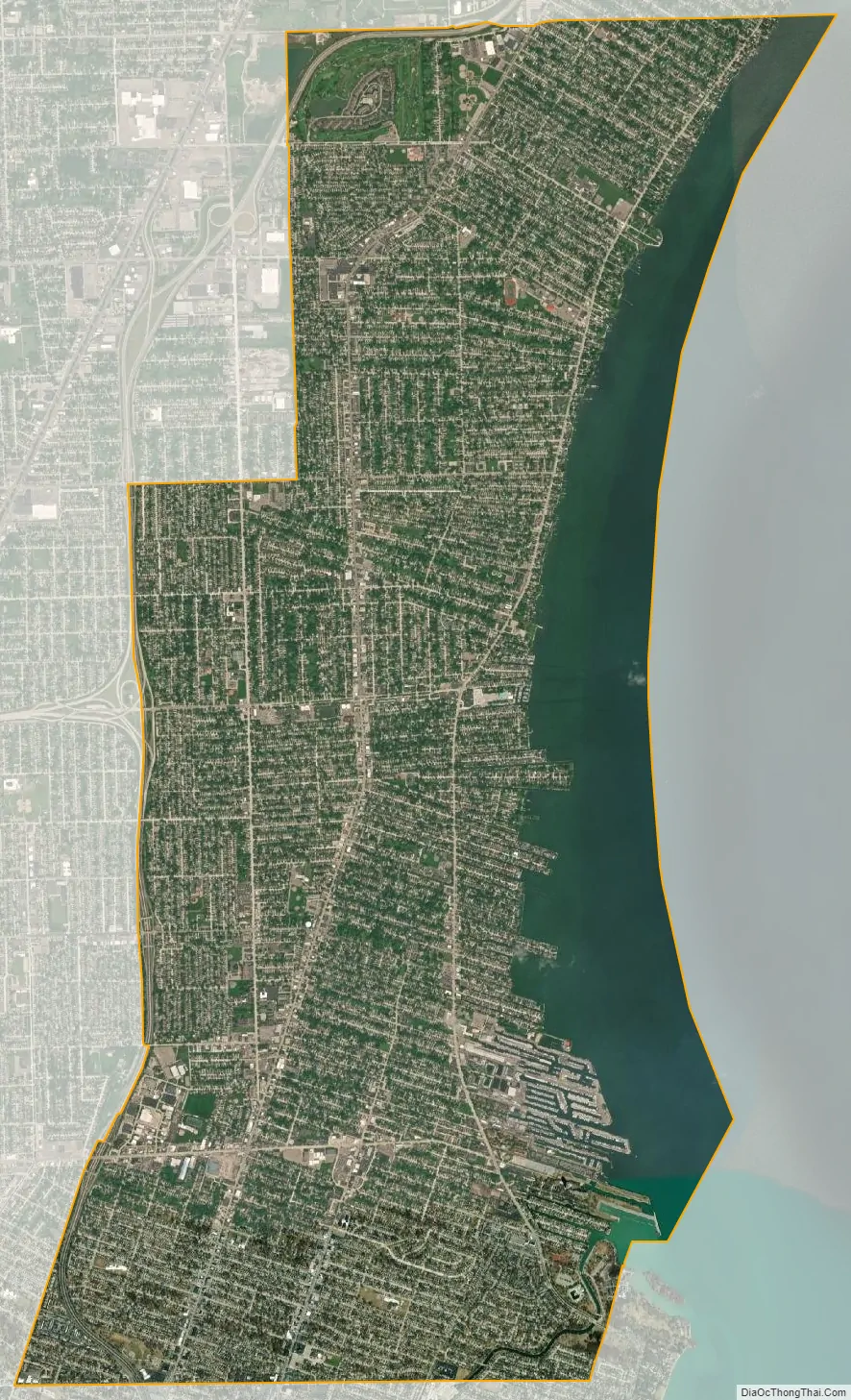
St. Clair Shores city Satellite Map
Geography
According to the United States Census Bureau, the city has a total area of 14.28 square miles (36.99 km), of which 2.66 square miles (6.89 km) are covered by water. A notable feature of St. Clair Shores is its 14 miles (23 km) of canals. Most of these canals are found in the Nautical Mile, which is along Jefferson between 9 mile and 10 Mile.
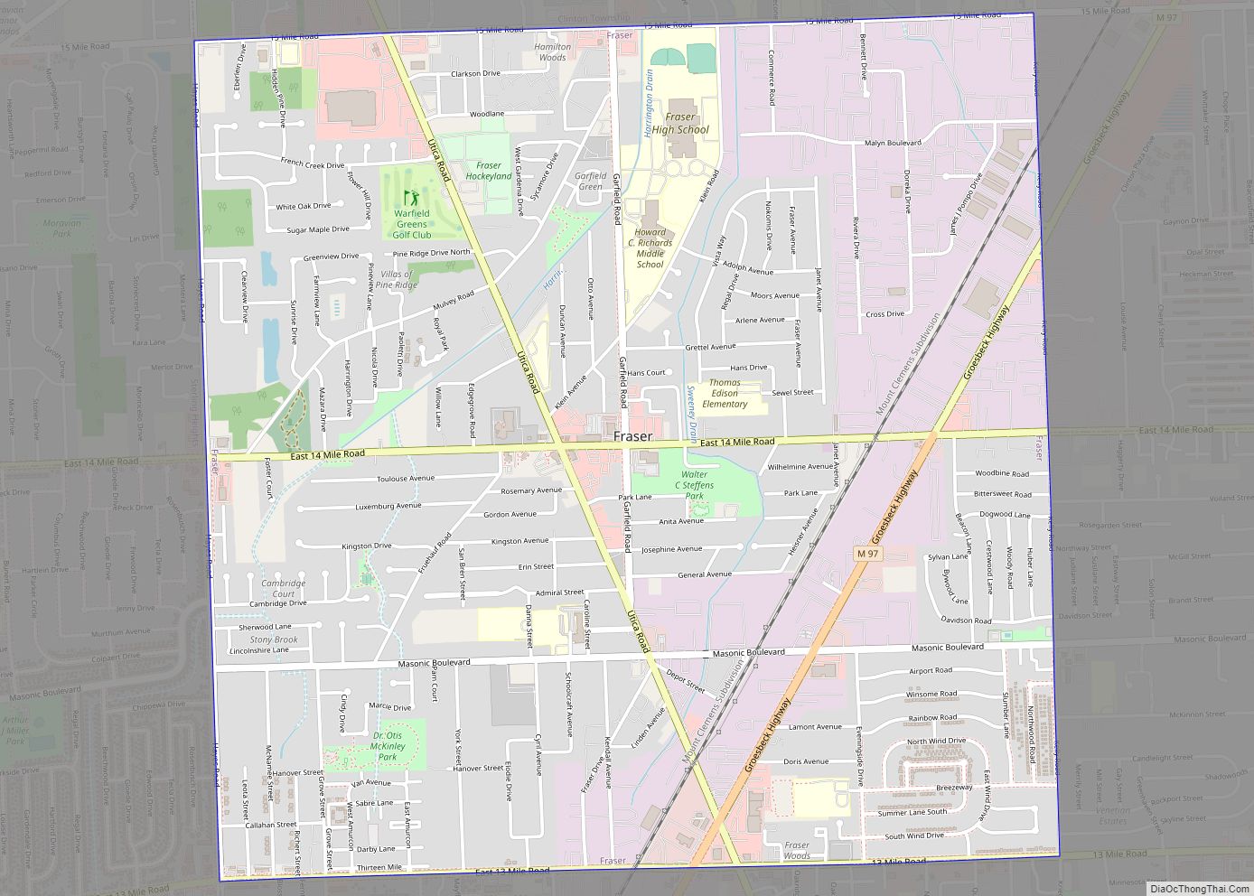
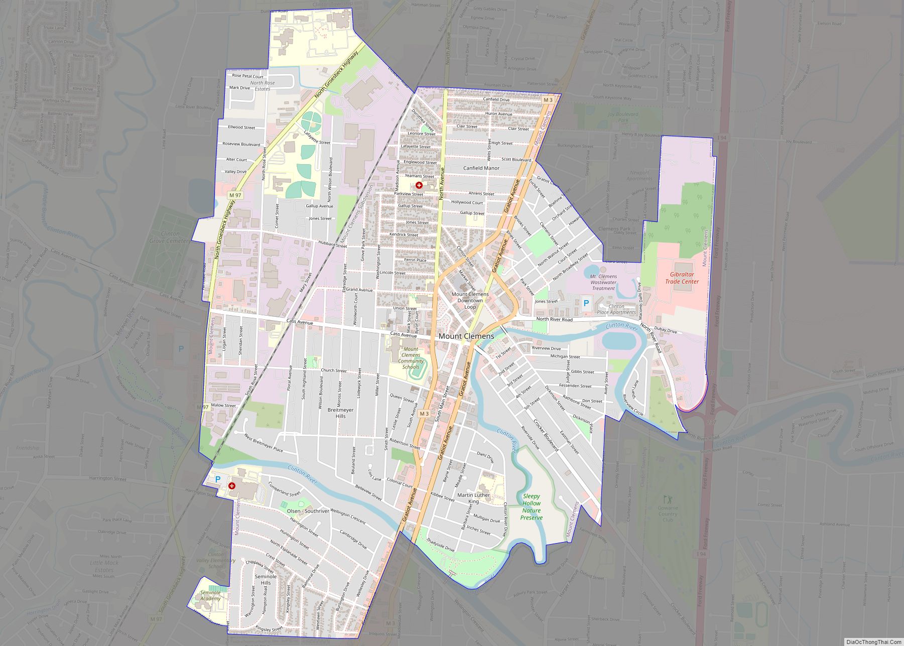
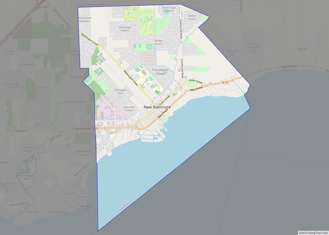
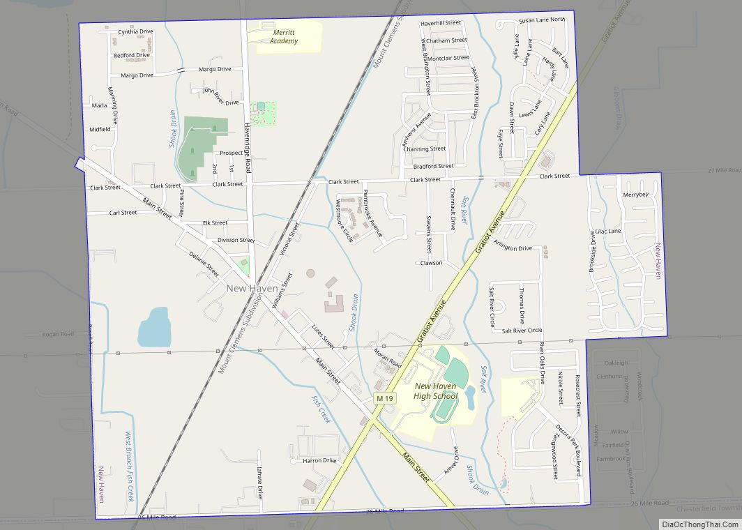
Neighboring communities
See also
Map of Michigan State and its subdivision:- Alcona
- Alger
- Allegan
- Alpena
- Antrim
- Arenac
- Baraga
- Barry
- Bay
- Benzie
- Berrien
- Branch
- Calhoun
- Cass
- Charlevoix
- Cheboygan
- Chippewa
- Clare
- Clinton
- Crawford
- Delta
- Dickinson
- Eaton
- Emmet
- Genesee
- Gladwin
- Gogebic
- Grand Traverse
- Gratiot
- Hillsdale
- Houghton
- Huron
- Ingham
- Ionia
- Iosco
- Iron
- Isabella
- Jackson
- Kalamazoo
- Kalkaska
- Kent
- Keweenaw
- Lake
- Lake Hurron
- Lake Michigan
- Lake St. Clair
- Lake Superior
- Lapeer
- Leelanau
- Lenawee
- Livingston
- Luce
- Mackinac
- Macomb
- Manistee
- Marquette
- Mason
- Mecosta
- Menominee
- Midland
- Missaukee
- Monroe
- Montcalm
- Montmorency
- Muskegon
- Newaygo
- Oakland
- Oceana
- Ogemaw
- Ontonagon
- Osceola
- Oscoda
- Otsego
- Ottawa
- Presque Isle
- Roscommon
- Saginaw
- Saint Clair
- Saint Joseph
- Sanilac
- Schoolcraft
- Shiawassee
- Tuscola
- Van Buren
- Washtenaw
- Wayne
- Wexford
- Alabama
- Alaska
- Arizona
- Arkansas
- California
- Colorado
- Connecticut
- Delaware
- District of Columbia
- Florida
- Georgia
- Hawaii
- Idaho
- Illinois
- Indiana
- Iowa
- Kansas
- Kentucky
- Louisiana
- Maine
- Maryland
- Massachusetts
- Michigan
- Minnesota
- Mississippi
- Missouri
- Montana
- Nebraska
- Nevada
- New Hampshire
- New Jersey
- New Mexico
- New York
- North Carolina
- North Dakota
- Ohio
- Oklahoma
- Oregon
- Pennsylvania
- Rhode Island
- South Carolina
- South Dakota
- Tennessee
- Texas
- Utah
- Vermont
- Virginia
- Washington
- West Virginia
- Wisconsin
- Wyoming