Roseville is a city in Macomb County in the U.S. state of Michigan, and is a part of the Metro Detroit area. The population was 47,299 at the 2010 census. Until 1958, Roseville was a part of Erin Township.
| Name: | Roseville city |
|---|---|
| LSAD Code: | 25 |
| LSAD Description: | city (suffix) |
| State: | Michigan |
| County: | Macomb County |
| Incorporated: | 1926 (village) 1958 (city) |
| Elevation: | 614 ft (187 m) |
| Total Area: | 9.86 sq mi (25.55 km²) |
| Land Area: | 9.84 sq mi (25.48 km²) |
| Water Area: | 0.03 sq mi (0.07 km²) |
| Total Population: | 47,710 |
| Population Density: | 4,850.55/sq mi (1,872.74/km²) |
| Area code: | 586 |
| FIPS code: | 2669800 |
| GNISfeature ID: | 0636239 |
Online Interactive Map
Click on ![]() to view map in "full screen" mode.
to view map in "full screen" mode.
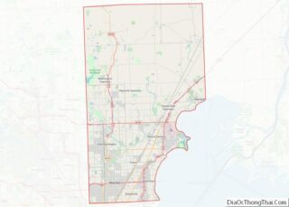
Roseville location map. Where is Roseville city?


History
The first permanent post office in the area was established in 1840 by William Rose who named it the Roseville Post Office in honor of his father Dennison Rose, a veteran of the War of 1812.
The Village of Roseville was incorporated in 1926 and the Municipal Building was constructed in 1929 at Gratiot Avenue and Meier Road. This replaced the Erin Township Building that was built near the corner of 11 Mile Road and Gratiot in 1886. The 1929 building housed administrative offices as well as the police and fire departments until the 1960s when separate police and fire stations were constructed. City offices remained in the building until 1974.
Michigan’s first commercial airport, Packard Field, opened at Gratiot Avenue and Frazho Road in 1919. It was renamed Gratiot Airport in 1929 and later Hartung Field. The Eastgate Shopping Center was constructed on the site in the 1950s.
The Erin-Roseville Library was established in 1936 in one room of the Municipal Building. The library moved to its own building in the 1960s and into the newly constructed civic center in 1974. It currently circulates approximately 250,000 items annually.
In 1958, the village and remaining parts of Erin Township were incorporated as the City of Roseville.
An early regional mall, the Macomb Mall, opened in 1964 and is still open today, located west of Gratiot and Masonic.
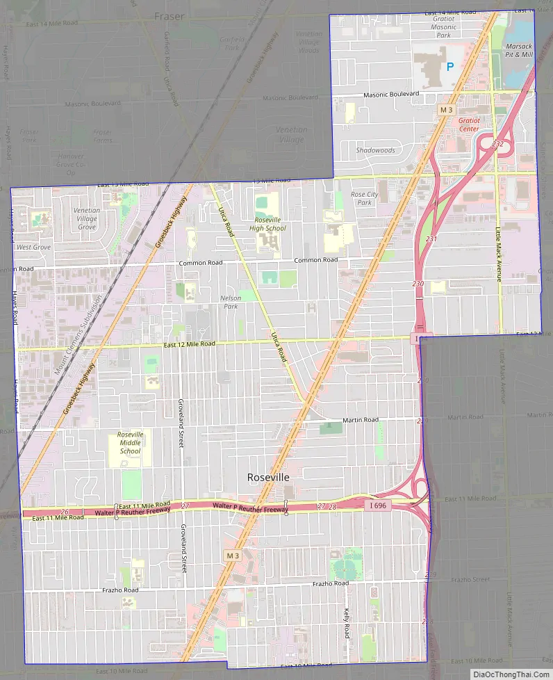
Roseville Road Map
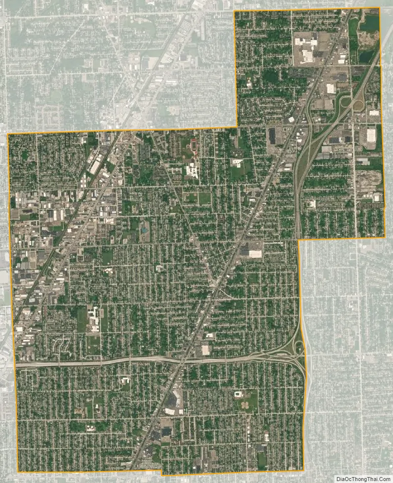
Roseville city Satellite Map
Geography
According to the United States Census Bureau, the city has a total area of 9.86 square miles (25.54 km), of which 9.83 square miles (25.46 km) is land and 0.03 square miles (0.08 km) is water.
Main highways
- I-94 runs north–south, still traveling east and west, along the eastern edge of the city. Between 10 and 12 Mile Roads, it forms the boundary between Roseville and St. Clair Shores.
- I-696 travels east and west through the middle of Roseville.
- M-3, which is Gratiot Avenue (/ˈɡræʃɪt/; named after engineer Charles Gratiot) runs northeast and southwest, and (roughly) bisects the city as it wends from Detroit to Mount Clemens and points north.
- M-97 (Groesbeck Highway), named for Governor Alex Groesbeck, is near the western edge of Roseville. It extends northeast from Detroit, and is a high-speed and broad diagonal connector to northern Macomb County.
- East–west travel is mainly on the mile roads, that is 10 Mile Road on the south (Eastpointe, formerly known as East Detroit) border through 14 Mile Road on the north border. See Mile Road System (Detroit).
- Utica Road is an important diagonal connector that criss-crosses the city from southeast to northwest, starting at Martin Road, near Gratiot Avenue, and extending to the city’s northern boundary at 13 Mile, then to Fraser, Clinton Township, Sterling Heights and Utica beyond.
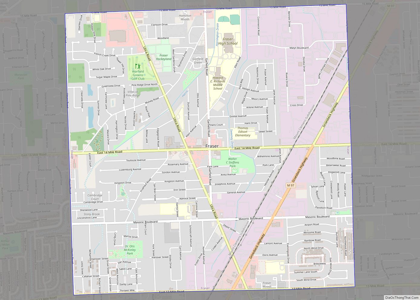
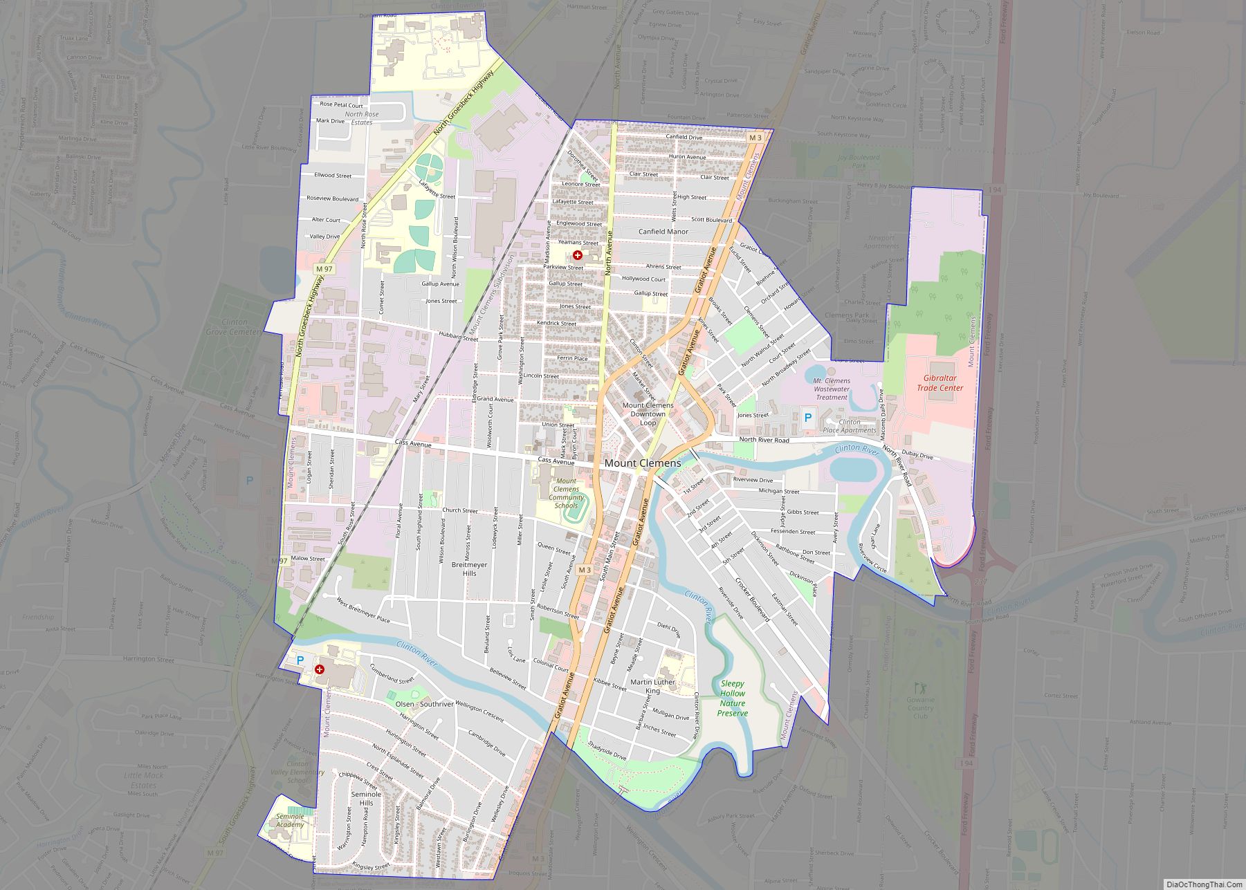
Neighboring communities
See also
Map of Michigan State and its subdivision:- Alcona
- Alger
- Allegan
- Alpena
- Antrim
- Arenac
- Baraga
- Barry
- Bay
- Benzie
- Berrien
- Branch
- Calhoun
- Cass
- Charlevoix
- Cheboygan
- Chippewa
- Clare
- Clinton
- Crawford
- Delta
- Dickinson
- Eaton
- Emmet
- Genesee
- Gladwin
- Gogebic
- Grand Traverse
- Gratiot
- Hillsdale
- Houghton
- Huron
- Ingham
- Ionia
- Iosco
- Iron
- Isabella
- Jackson
- Kalamazoo
- Kalkaska
- Kent
- Keweenaw
- Lake
- Lake Hurron
- Lake Michigan
- Lake St. Clair
- Lake Superior
- Lapeer
- Leelanau
- Lenawee
- Livingston
- Luce
- Mackinac
- Macomb
- Manistee
- Marquette
- Mason
- Mecosta
- Menominee
- Midland
- Missaukee
- Monroe
- Montcalm
- Montmorency
- Muskegon
- Newaygo
- Oakland
- Oceana
- Ogemaw
- Ontonagon
- Osceola
- Oscoda
- Otsego
- Ottawa
- Presque Isle
- Roscommon
- Saginaw
- Saint Clair
- Saint Joseph
- Sanilac
- Schoolcraft
- Shiawassee
- Tuscola
- Van Buren
- Washtenaw
- Wayne
- Wexford
- Alabama
- Alaska
- Arizona
- Arkansas
- California
- Colorado
- Connecticut
- Delaware
- District of Columbia
- Florida
- Georgia
- Hawaii
- Idaho
- Illinois
- Indiana
- Iowa
- Kansas
- Kentucky
- Louisiana
- Maine
- Maryland
- Massachusetts
- Michigan
- Minnesota
- Mississippi
- Missouri
- Montana
- Nebraska
- Nevada
- New Hampshire
- New Jersey
- New Mexico
- New York
- North Carolina
- North Dakota
- Ohio
- Oklahoma
- Oregon
- Pennsylvania
- Rhode Island
- South Carolina
- South Dakota
- Tennessee
- Texas
- Utah
- Vermont
- Virginia
- Washington
- West Virginia
- Wisconsin
- Wyoming