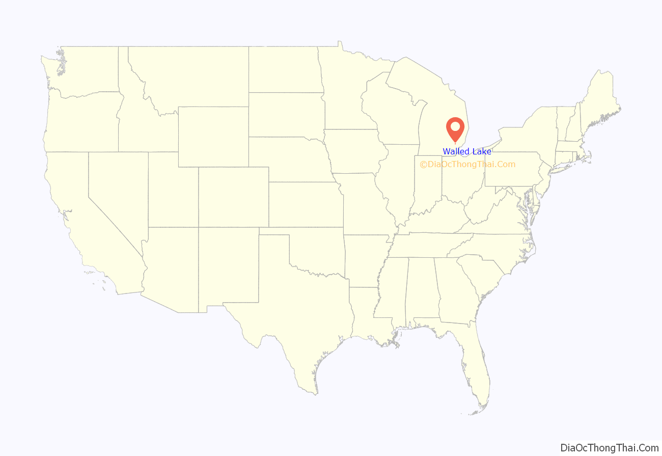
Walled Lake is a city in Oakland County in the U.S. state of Michigan. The population was 6,999 at the 2010 census. The city is bordered by Commerce Township on the north and the city of Novi on the south. As a western suburb of Metro Detroit, Walled Lake is about 20 miles (32.2 km) northwest of Detroit.
| Name: | Walled Lake city |
|---|---|
| LSAD Code: | 25 |
| LSAD Description: | city (suffix) |
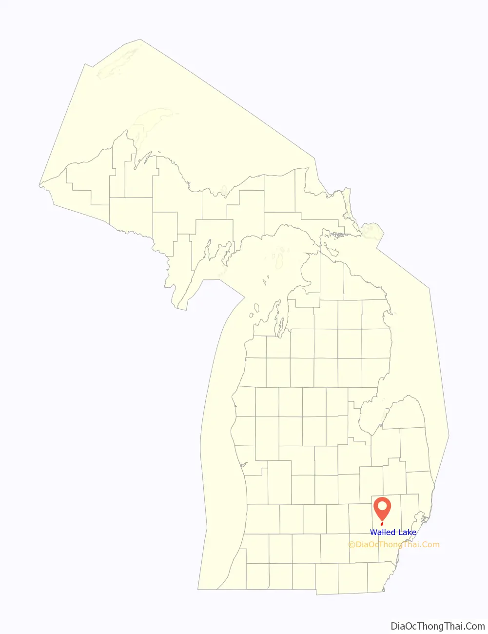
| State: | Michigan |
| County: | Oakland County |
| Incorporated: | 1954 |
| Elevation: | 942 ft (287 m) |
| Land Area: | 2.21 sq mi (5.72 km²) |
| Water Area: | 0.18 sq mi (0.47 km²) |
| Population Density: | 3,282.03/sq mi (1,267.48/km²) |
| Area code: | 248 |
| FIPS code: | 2683060 |
| GNISfeature ID: | 1615720 |
Online Interactive Map
Click on ![]() to view map in "full screen" mode.
to view map in "full screen" mode.
Walled Lake location map. Where is Walled Lake city?
History
The town’s name is said to have been given by the first American settler, Walter Hewitt, in 1825. Upon his arrival, he noticed what appeared to be a stone wall along the western bank of a nearby lake, possibly constructed by earlier Potawatomi Indian tribes.
Walled Lake was a village inhabited by Ojibwa and Potowatamie people until about 1830. It appears that these people had relocated from an earlier village in the area that is today Southfield.
Resting spots along the Underground Railroad, where runaway slaves could sleep and eat, were called “depots”. One of these was the Foster Farmhouse (built in 1833) in Walled Lake, which served as a refuge for those making their way to freedom in Canada. The Foster Farmhouse was located on Pontiac Trail near 15 mile road until 1997, when it was moved to Riley Park in downtown Walled Lake to avoid demolition.
The Walled Lake Amusement Park operated from 1929 to 1968.
In September 2022, a QAnon adherent and local resident shot multiple members of his family before being killed by police.
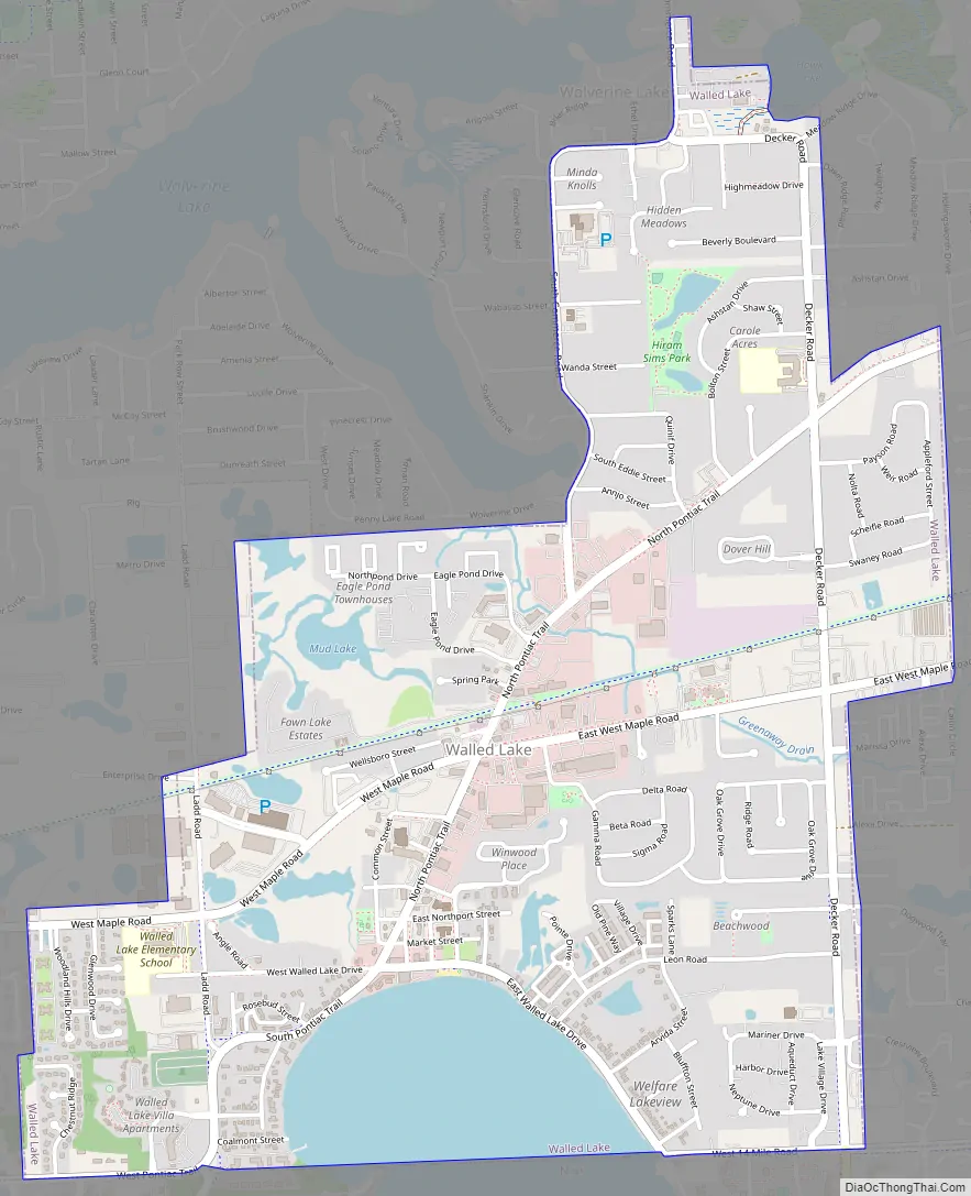
Walled Lake Road Map
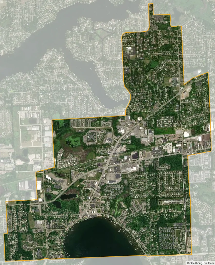
Walled Lake city Satellite Map
Geography
According to the United States Census Bureau, the city has a total area of 2.37 square miles (6.14 km), of which 2.18 square miles (5.65 km) is land and 0.19 square miles (0.49 km) is water.
Walled Lake is north of the City of Novi and east of the City of Wixom.
See also
Map of Michigan State and its subdivision:- Alcona
- Alger
- Allegan
- Alpena
- Antrim
- Arenac
- Baraga
- Barry
- Bay
- Benzie
- Berrien
- Branch
- Calhoun
- Cass
- Charlevoix
- Cheboygan
- Chippewa
- Clare
- Clinton
- Crawford
- Delta
- Dickinson
- Eaton
- Emmet
- Genesee
- Gladwin
- Gogebic
- Grand Traverse
- Gratiot
- Hillsdale
- Houghton
- Huron
- Ingham
- Ionia
- Iosco
- Iron
- Isabella
- Jackson
- Kalamazoo
- Kalkaska
- Kent
- Keweenaw
- Lake
- Lake Hurron
- Lake Michigan
- Lake St. Clair
- Lake Superior
- Lapeer
- Leelanau
- Lenawee
- Livingston
- Luce
- Mackinac
- Macomb
- Manistee
- Marquette
- Mason
- Mecosta
- Menominee
- Midland
- Missaukee
- Monroe
- Montcalm
- Montmorency
- Muskegon
- Newaygo
- Oakland
- Oceana
- Ogemaw
- Ontonagon
- Osceola
- Oscoda
- Otsego
- Ottawa
- Presque Isle
- Roscommon
- Saginaw
- Saint Clair
- Saint Joseph
- Sanilac
- Schoolcraft
- Shiawassee
- Tuscola
- Van Buren
- Washtenaw
- Wayne
- Wexford
- Alabama
- Alaska
- Arizona
- Arkansas
- California
- Colorado
- Connecticut
- Delaware
- District of Columbia
- Florida
- Georgia
- Hawaii
- Idaho
- Illinois
- Indiana
- Iowa
- Kansas
- Kentucky
- Louisiana
- Maine
- Maryland
- Massachusetts
- Michigan
- Minnesota
- Mississippi
- Missouri
- Montana
- Nebraska
- Nevada
- New Hampshire
- New Jersey
- New Mexico
- New York
- North Carolina
- North Dakota
- Ohio
- Oklahoma
- Oregon
- Pennsylvania
- Rhode Island
- South Carolina
- South Dakota
- Tennessee
- Texas
- Utah
- Vermont
- Virginia
- Washington
- West Virginia
- Wisconsin
- Wyoming


