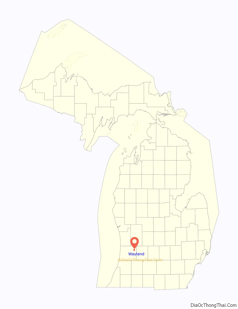
Wayland is a city in Allegan County in the U.S. state of Michigan. The population was 4,079 at the 2010 census.
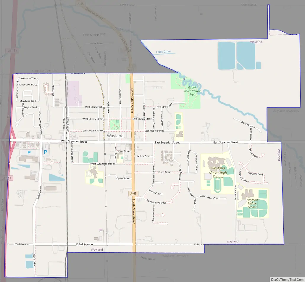
The city is located at the northwest corner of Wayland Township, but is politically independent. The city has also incorporated a portion of land in the south of adjacent Leighton Township. U.S. Route 131 forms the western boundary of the city.
| Name: | Wayland city |
|---|---|
| LSAD Code: | 25 |
| LSAD Description: | city (suffix) |
| State: | Michigan |
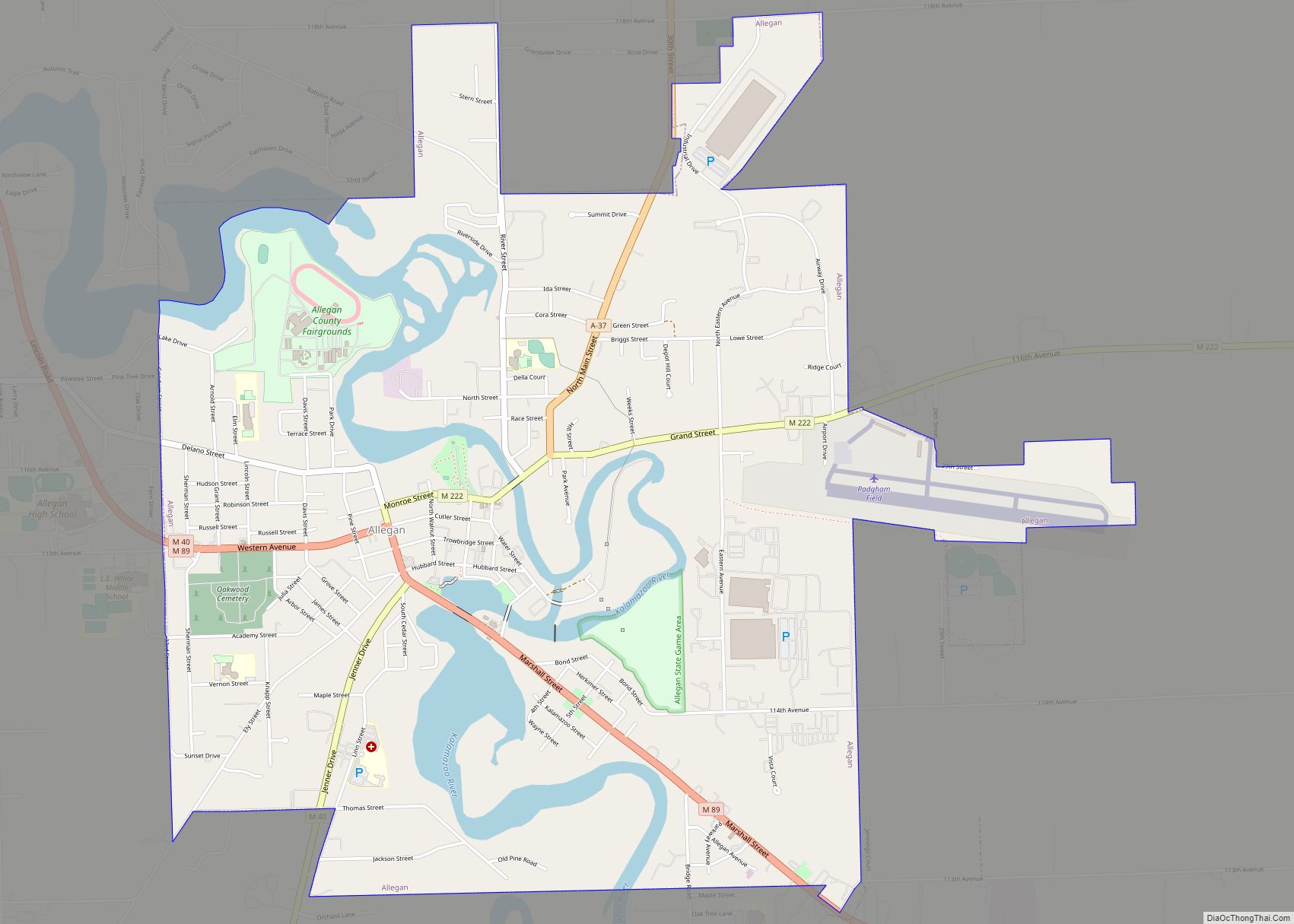
| County: | Allegan County |
| Elevation: | 420 ft (69 m) |
| Total Area: | 3.01 sq mi (7.79 km²) |
| Land Area: | 2.96 sq mi (7.67 km²) |
| Water Area: | 0.04 sq mi (0.12 km²) |
| Total Population: | 4,435 |
| Population Density: | 1,497.30/sq mi (578.05/km²) |
| ZIP code: | 49348 |
| Area code: | 269 |
| FIPS code: | 2684880 |
| GNISfeature ID: | 1615899 |
| Website: | www.cityofwayland.org |
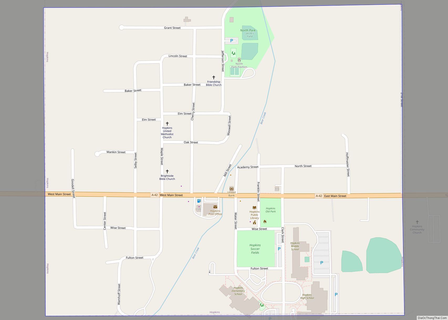
Online Interactive Map
Click on ![]() to view map in "full screen" mode.
to view map in "full screen" mode.
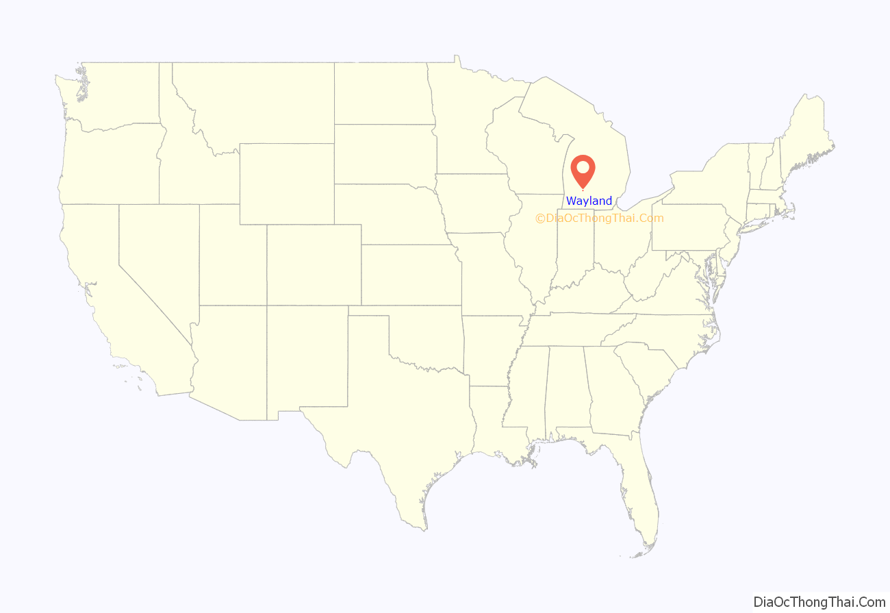
Wayland location map. Where is Wayland city?
History
About two hundred years ago, the area now known as Wayland, Michigan was inhabited by the Match-E-Be-Nash-She-Wish Band of the Pottawatomi, a Native American tribe in Michigan. The tribe lived in settled villages, hunted game, and farmed and harvested corn and wild rice, in addition to making maple sugar tree sap. The tribe is federally recognized and is headquartered in nearby Wayland Township. It owns the Gun Lake Casino, opened in 2011.
The area began changing under pressure of European-American development. By 1826 the land had been surveyed for settlement in United States style. Colonel Isaac Barnes, attracted by the extensive forests of pine and hardwoods, purchased a tract of land along the Rabbit River and began operating a mill producing lumber and wooden shingles, giving the area its first name, Lumberton.
In 1837, the Barnes family arrived and began clearing the land for farming, and by the 1840s, several more families had settled in the area. This growth brought enough children to the area to justify building the first American-style school in 1844.
In 1855 a road was built to connect the two larger towns of Grand Rapids and Kalamazoo, running directly through Chamber’s Corners, the main intersection in the city. This area is now known by that name. This busy road led to increased commerce, and business in the form of dairy farms and factories, which led to further growth over time.
The area was officially named Wayland in 1868 after a city in New York, as many migrants had come from that state.
Wayland Road Map
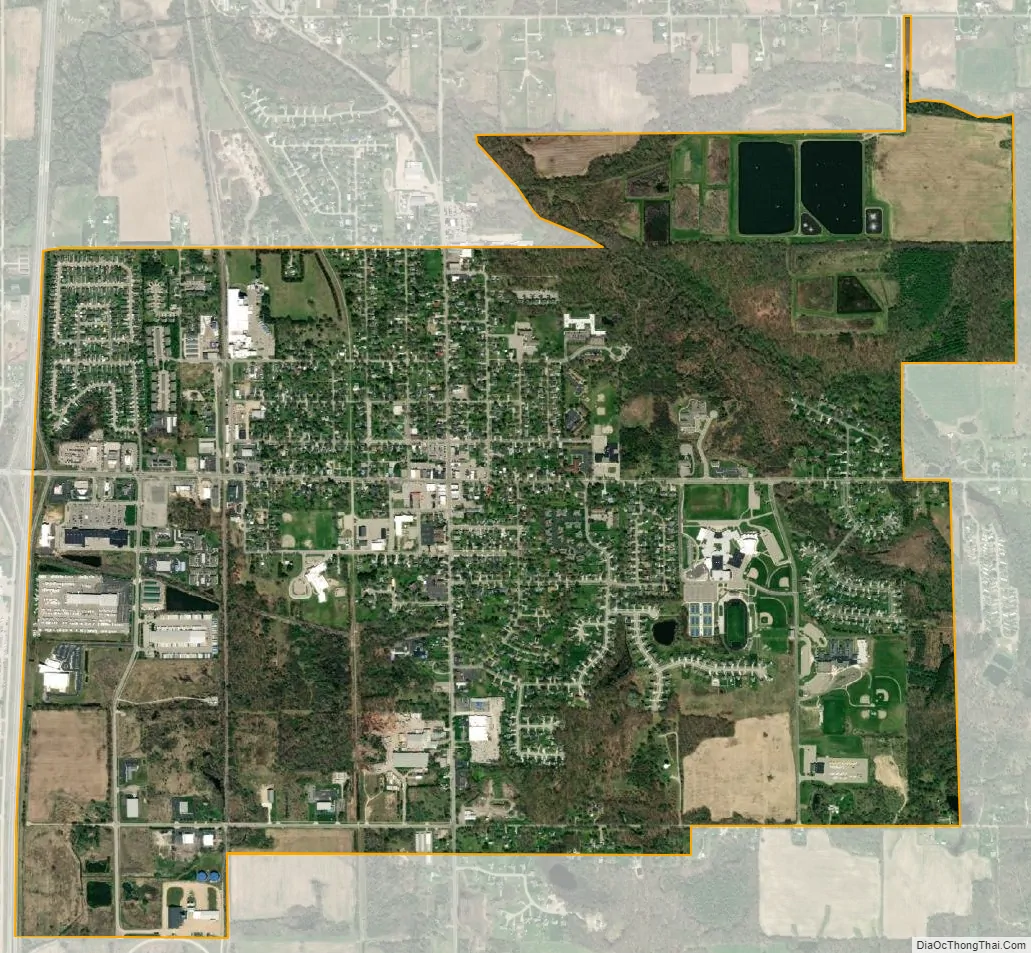
Wayland city Satellite Map
Geography
According to the United States Census Bureau, the city has a total area of 3.03 square miles (7.85 km), of which 2.98 square miles (7.72 km) is land and 0.05 square miles (0.13 km) is water.
See also
Map of Michigan State and its subdivision:- Alcona
- Alger
- Allegan
- Alpena
- Antrim
- Arenac
- Baraga
- Barry
- Bay
- Benzie
- Berrien
- Branch
- Calhoun
- Cass
- Charlevoix
- Cheboygan
- Chippewa
- Clare
- Clinton
- Crawford
- Delta
- Dickinson
- Eaton
- Emmet
- Genesee
- Gladwin
- Gogebic
- Grand Traverse
- Gratiot
- Hillsdale
- Houghton
- Huron
- Ingham
- Ionia
- Iosco
- Iron
- Isabella
- Jackson
- Kalamazoo
- Kalkaska
- Kent
- Keweenaw
- Lake
- Lake Hurron
- Lake Michigan
- Lake St. Clair
- Lake Superior
- Lapeer
- Leelanau
- Lenawee
- Livingston
- Luce
- Mackinac
- Macomb
- Manistee
- Marquette
- Mason
- Mecosta
- Menominee
- Midland
- Missaukee
- Monroe
- Montcalm
- Montmorency
- Muskegon
- Newaygo
- Oakland
- Oceana
- Ogemaw
- Ontonagon
- Osceola
- Oscoda
- Otsego
- Ottawa
- Presque Isle
- Roscommon
- Saginaw
- Saint Clair
- Saint Joseph
- Sanilac
- Schoolcraft
- Shiawassee
- Tuscola
- Van Buren
- Washtenaw
- Wayne
- Wexford
- Alabama
- Alaska
- Arizona
- Arkansas
- California
- Colorado
- Connecticut
- Delaware
- District of Columbia
- Florida
- Georgia
- Hawaii
- Idaho
- Illinois
- Indiana
- Iowa
- Kansas
- Kentucky
- Louisiana
- Maine
- Maryland
- Massachusetts
- Michigan
- Minnesota
- Mississippi
- Missouri
- Montana
- Nebraska
- Nevada
- New Hampshire
- New Jersey
- New Mexico
- New York
- North Carolina
- North Dakota
- Ohio
- Oklahoma
- Oregon
- Pennsylvania
- Rhode Island
- South Carolina
- South Dakota
- Tennessee
- Texas
- Utah
- Vermont
- Virginia
- Washington
- West Virginia
- Wisconsin
- Wyoming