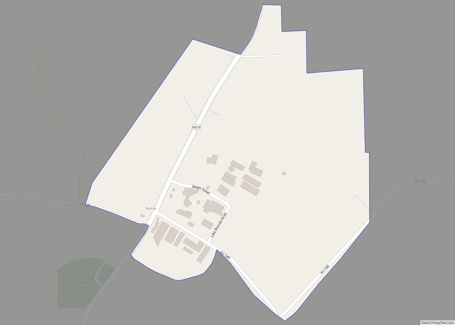
Biehle was a village in Perry County, Missouri, United States. The population was 47 at the 2020 census. The community was founded in 1876 and named after the Biehle family.
| Name: | Biehle CDP |
|---|---|
| LSAD Code: | 57 |
| LSAD Description: | CDP (suffix) |
| State: | Missouri |
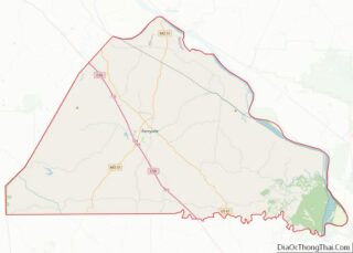
| County: | Perry County |
| Incorporated: | March 13, 1992 |
| Elevation: | 515 ft (157 m) |
| Total Area: | 0.22 sq mi (0.57 km²) |
| Land Area: | 0.22 sq mi (0.57 km²) |
| Water Area: | 0.00 sq mi (0.00 km²) |
| Total Population: | 47 |
| Population Density: | 211.71/sq mi (81.92/km²) |
| ZIP code: | 63775 |
| Area code: | 573 |
| FIPS code: | 2905320 |
| GNISfeature ID: | 2587053 |
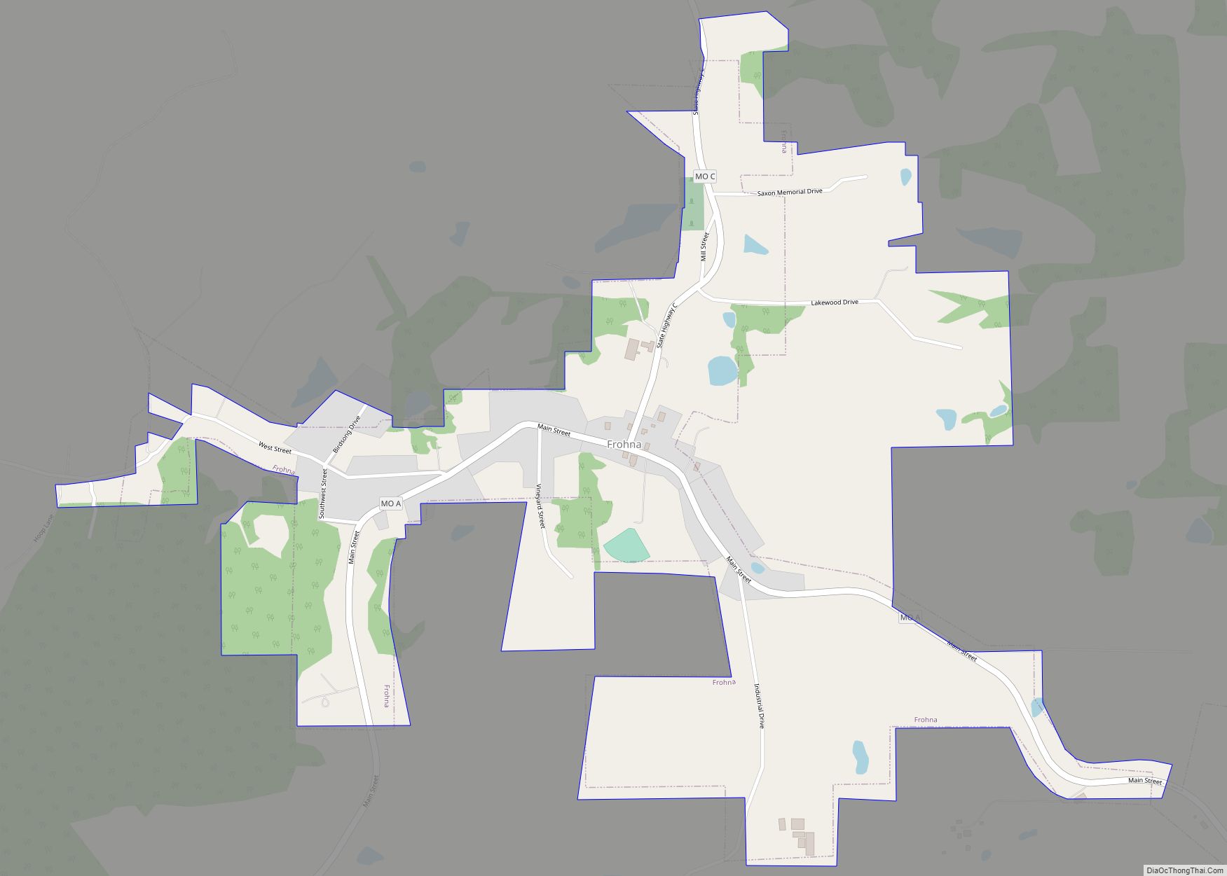
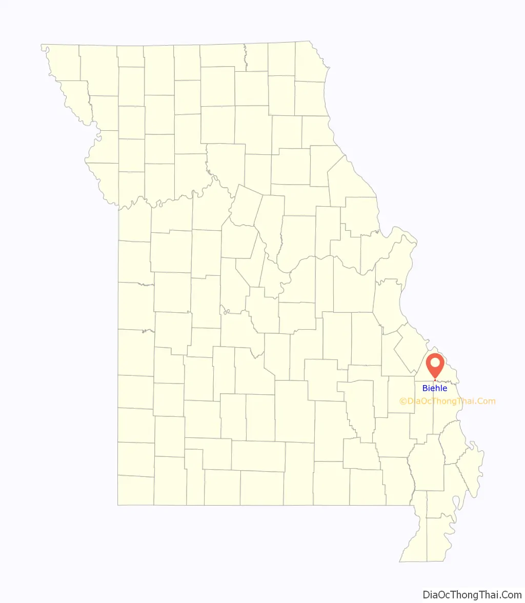
Online Interactive Map
Click on ![]() to view map in "full screen" mode.
to view map in "full screen" mode.
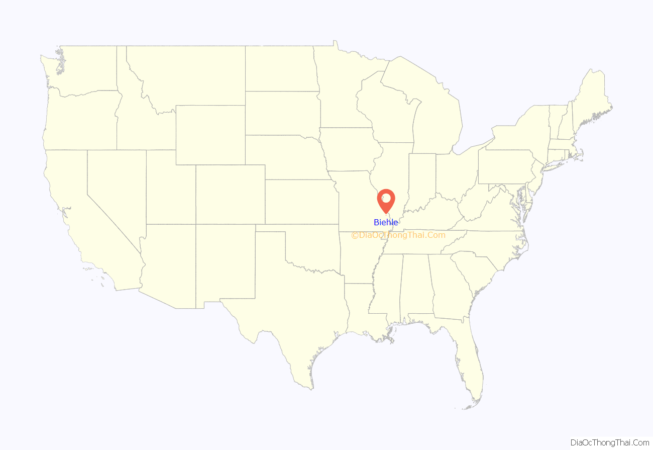
Biehle location map. Where is Biehle CDP?
History
In the 1840s, German Catholic immigrants from the Baden region of Germany settled in the area first known as Biehle Station. One of the earliest settlers was a German immigrant named Maurus Biehle. In the 1850s, a log church was built on land donated by Maurus Biehle. In May 1869, a new stone church, St. Maurus Catholic Church, was dedicated for the German Catholic parish, and in January 1870, Father Joseph Hellwing became the first full-time priest.
In 1925, the Tri-State Tornado struck the community, ripping the roof off a church, destroying many houses, and killing four people in town. The village disincorporated in 2003.
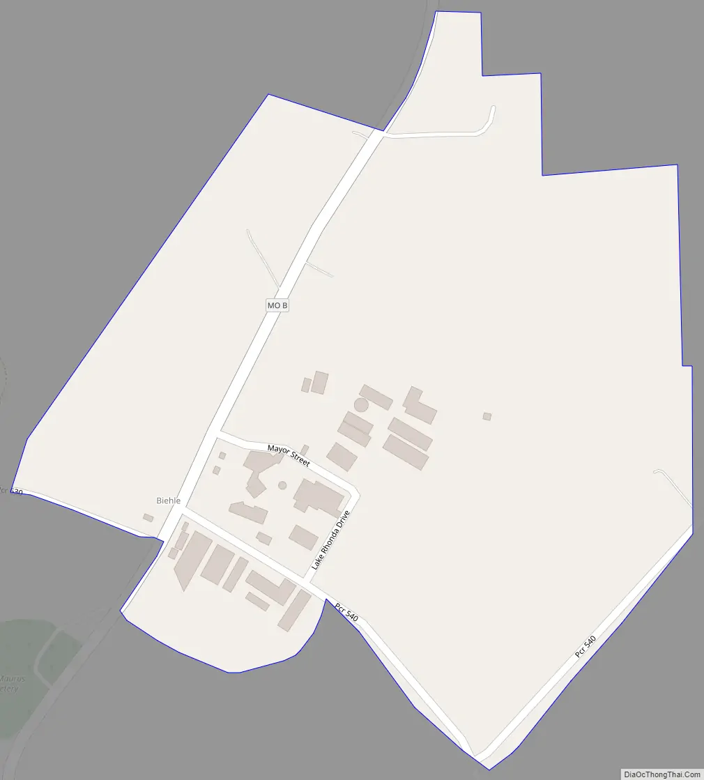
Biehle Road Map
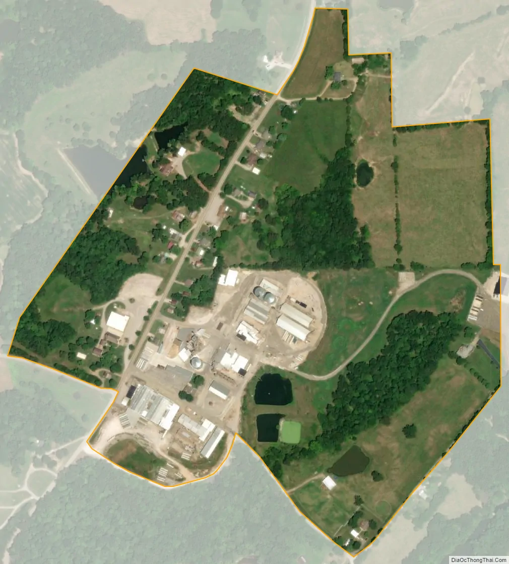
Biehle city Satellite Map
Geography
Biehle is located along Missouri Route B on a ridge above a sharp bend in Apple Creek. The Perry-Cape Girardeau county line lies three-quarters of a mile south of the community.
Biehle is located in Cinque Hommes township.
According to the United States Census Bureau, the CDP has a total area of 0.22 square miles (0.57 km), all land.
See also
Map of Missouri State and its subdivision:- Adair
- Andrew
- Atchison
- Audrain
- Barry
- Barton
- Bates
- Benton
- Bollinger
- Boone
- Buchanan
- Butler
- Caldwell
- Callaway
- Camden
- Cape Girardeau
- Carroll
- Carter
- Cass
- Cedar
- Chariton
- Christian
- Clark
- Clay
- Clinton
- Cole
- Cooper
- Crawford
- Dade
- Dallas
- Daviess
- De Kalb
- Dent
- Douglas
- Dunklin
- Franklin
- Gasconade
- Gentry
- Greene
- Grundy
- Harrison
- Henry
- Hickory
- Holt
- Howard
- Howell
- Iron
- Jackson
- Jasper
- Jefferson
- Johnson
- Knox
- Laclede
- Lafayette
- Lawrence
- Lewis
- Lincoln
- Linn
- Livingston
- Macon
- Madison
- Maries
- Marion
- McDonald
- Mercer
- Miller
- Mississippi
- Moniteau
- Monroe
- Montgomery
- Morgan
- New Madrid
- Newton
- Nodaway
- Oregon
- Osage
- Ozark
- Pemiscot
- Perry
- Pettis
- Phelps
- Pike
- Platte
- Polk
- Pulaski
- Putnam
- Ralls
- Randolph
- Ray
- Reynolds
- Ripley
- Saint Charles
- Saint Clair
- Saint Francois
- Saint Louis
- Sainte Genevieve
- Saline
- Schuyler
- Scotland
- Scott
- Shannon
- Shelby
- Stoddard
- Stone
- Sullivan
- Taney
- Texas
- Vernon
- Warren
- Washington
- Wayne
- Webster
- Worth
- Wright
- Alabama
- Alaska
- Arizona
- Arkansas
- California
- Colorado
- Connecticut
- Delaware
- District of Columbia
- Florida
- Georgia
- Hawaii
- Idaho
- Illinois
- Indiana
- Iowa
- Kansas
- Kentucky
- Louisiana
- Maine
- Maryland
- Massachusetts
- Michigan
- Minnesota
- Mississippi
- Missouri
- Montana
- Nebraska
- Nevada
- New Hampshire
- New Jersey
- New Mexico
- New York
- North Carolina
- North Dakota
- Ohio
- Oklahoma
- Oregon
- Pennsylvania
- Rhode Island
- South Carolina
- South Dakota
- Tennessee
- Texas
- Utah
- Vermont
- Virginia
- Washington
- West Virginia
- Wisconsin
- Wyoming