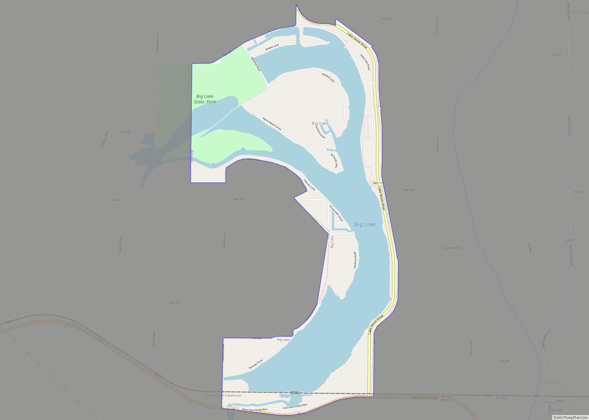
Big Lake is a village in Holt County, Missouri, United States. The population was 65 at the 2020 census.
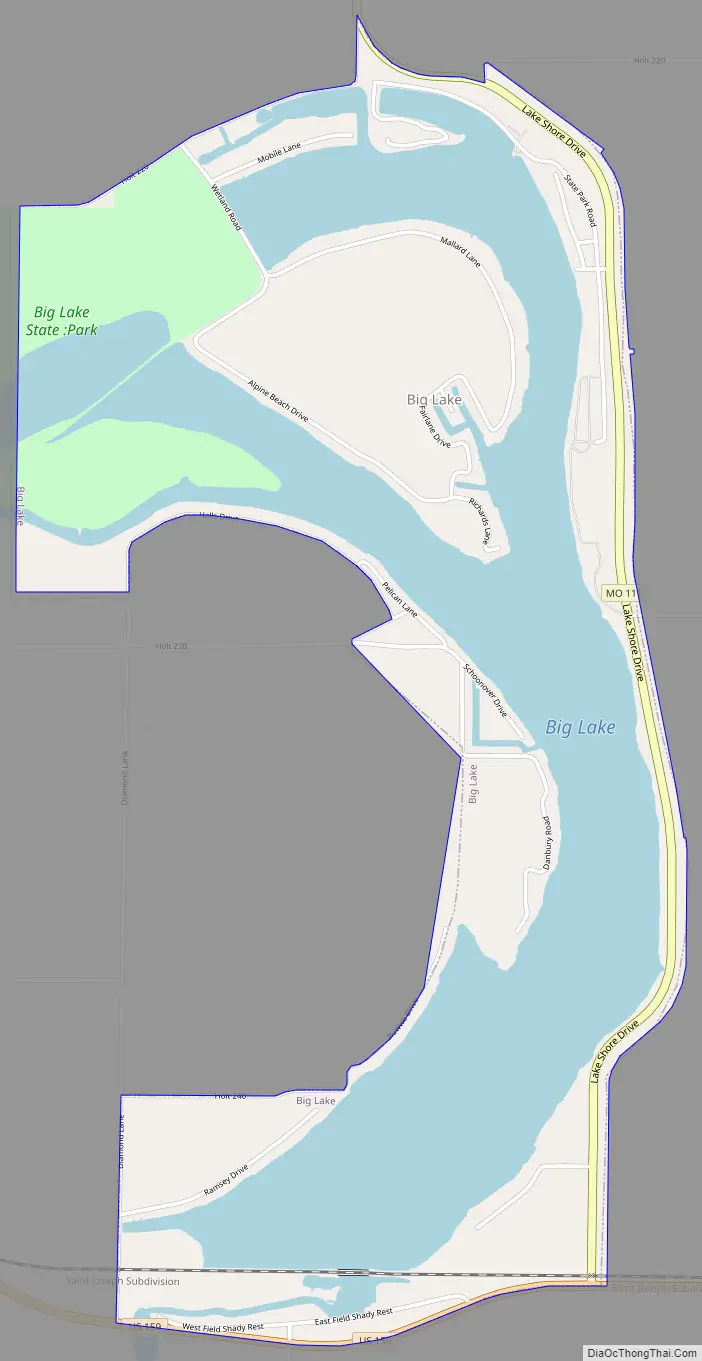
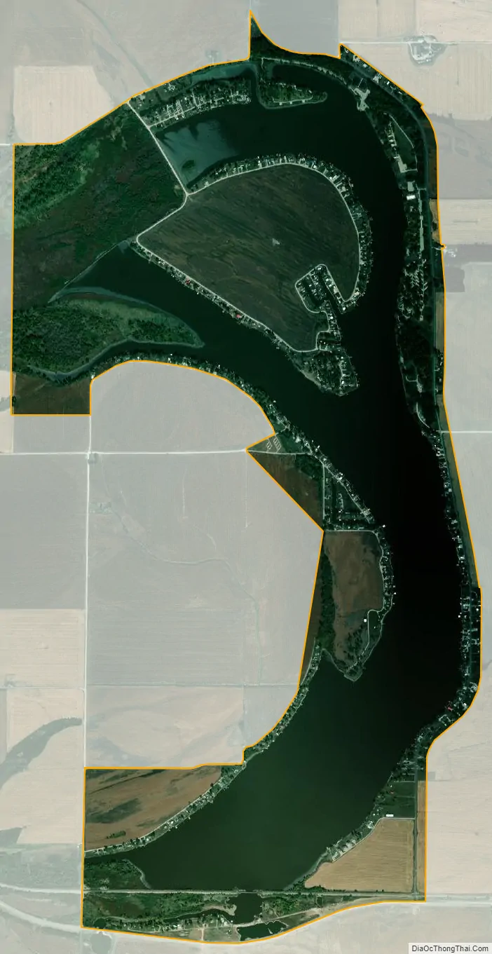
The village is located on the 646-acre (2.61 km) Big Lake, which is the largest oxbow lake in Missouri. It is also adjacent to Big Lake State Park, which has the largest marsh in a state park in the state of Missouri.
| Name: | Big Lake village |
|---|---|
| LSAD Code: | 47 |
| LSAD Description: | village (suffix) |
| State: | Missouri |
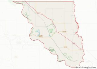
| County: | Holt County |
| Elevation: | 860 ft (260 m) |
| Total Area: | 2.63 sq mi (6.80 km²) |
| Land Area: | 1.66 sq mi (4.29 km²) |
| Water Area: | 0.97 sq mi (2.52 km²) |
| Total Population: | 65 |
| Population Density: | 39.27/sq mi (15.16/km²) |
| FIPS code: | 2905495 |
| GNISfeature ID: | 2398117 |
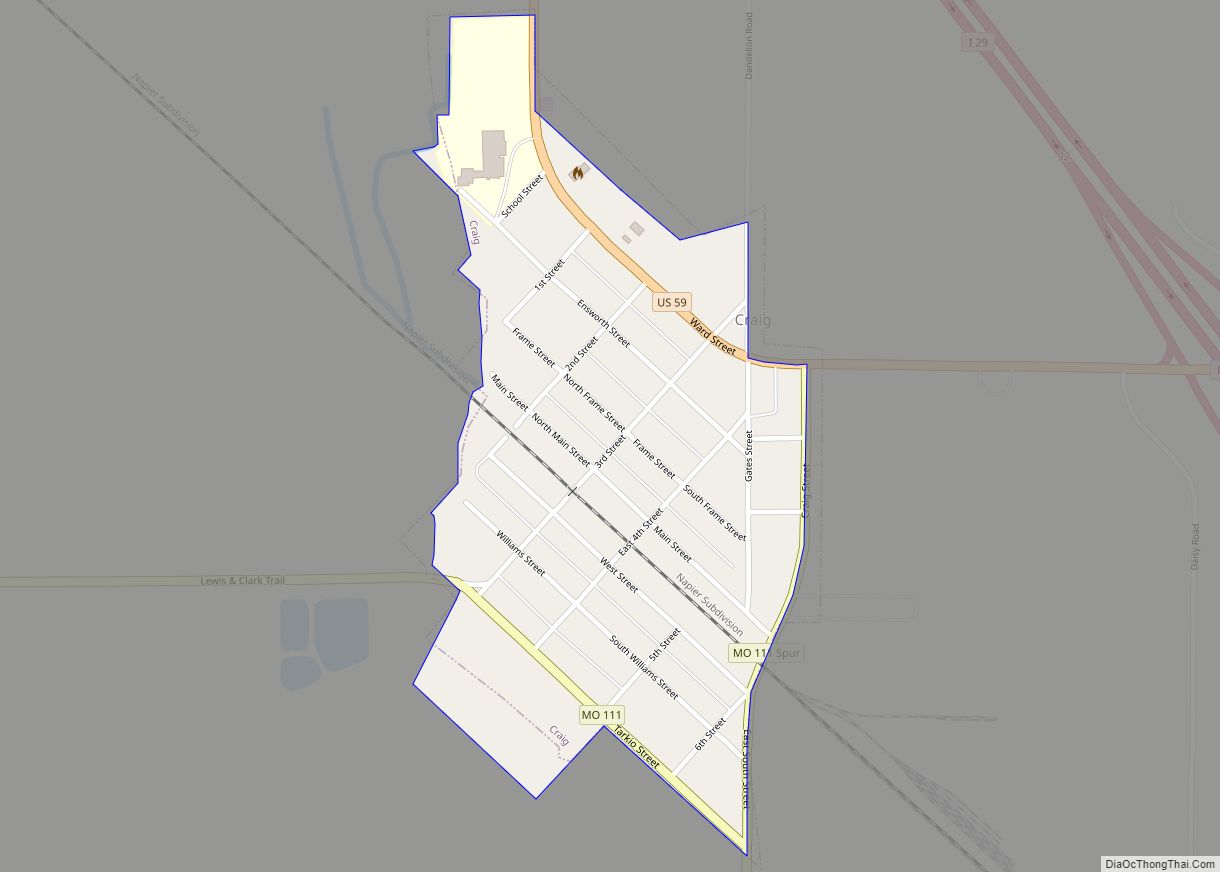
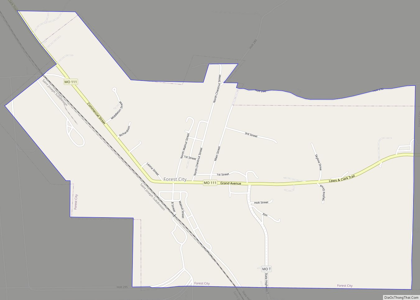
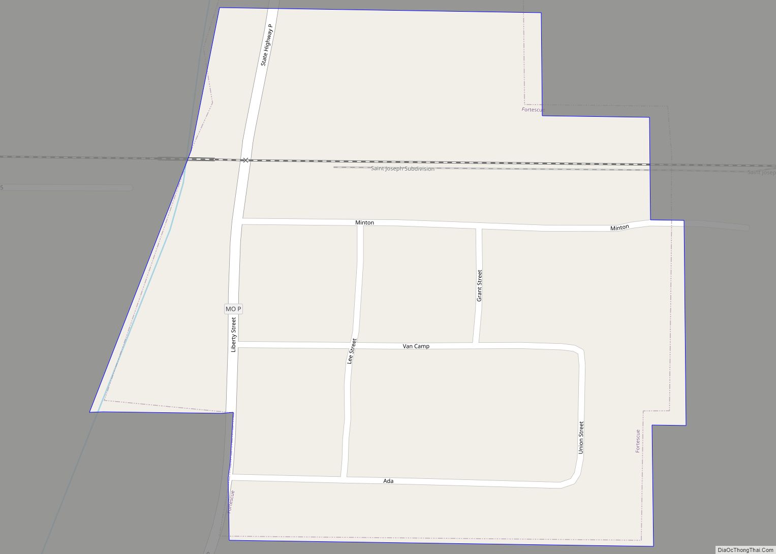
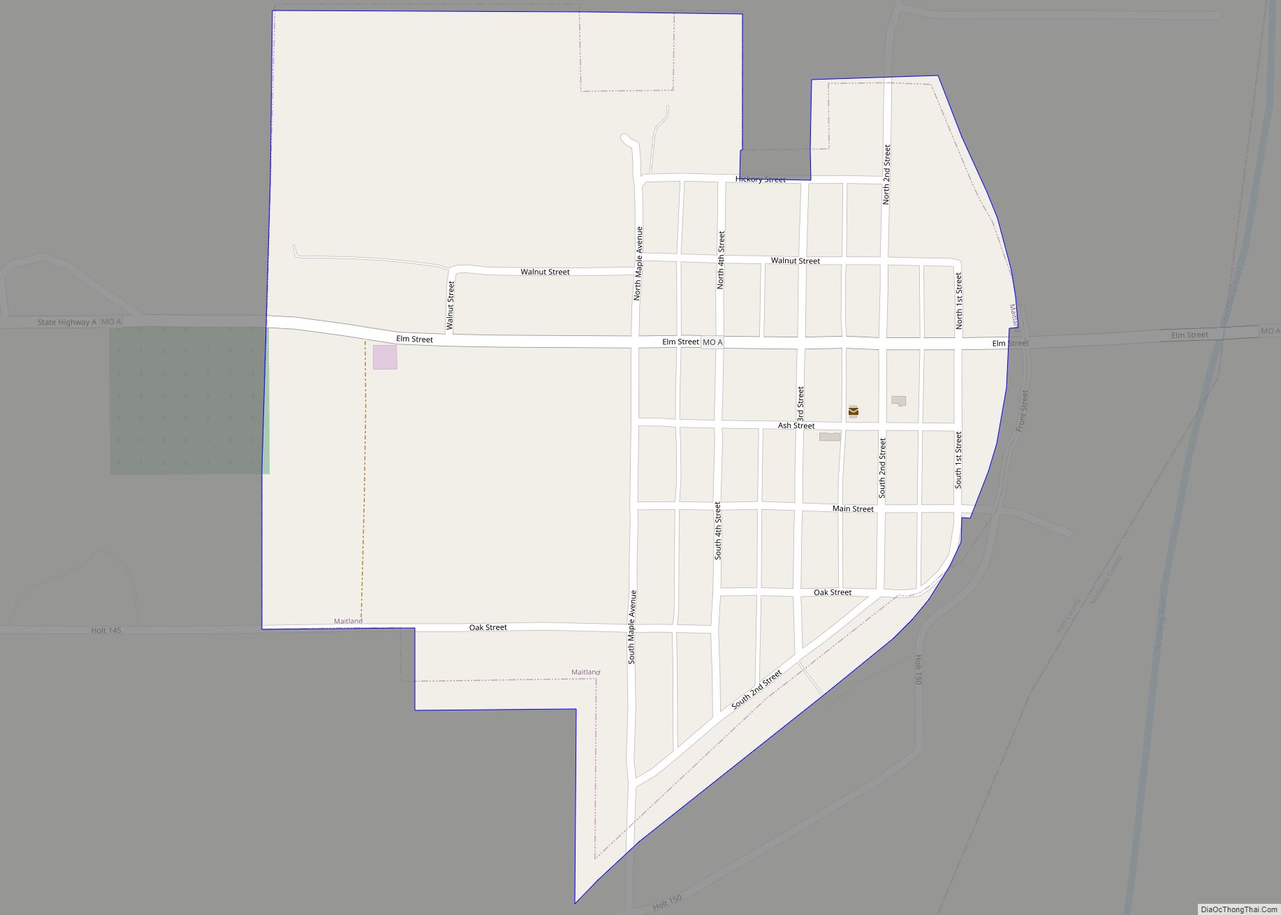
Online Interactive Map
Click on ![]() to view map in "full screen" mode.
to view map in "full screen" mode.
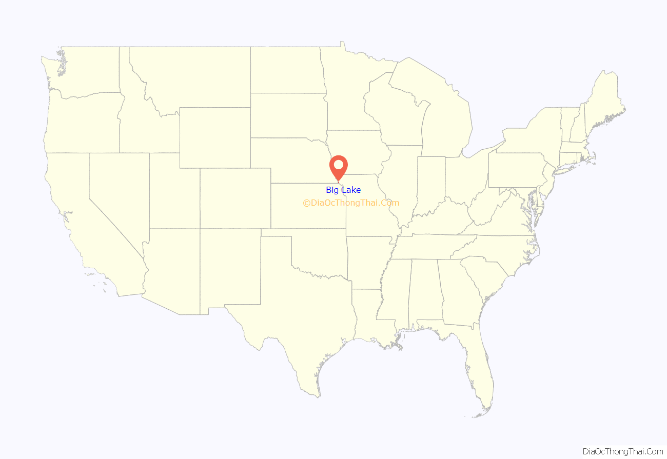
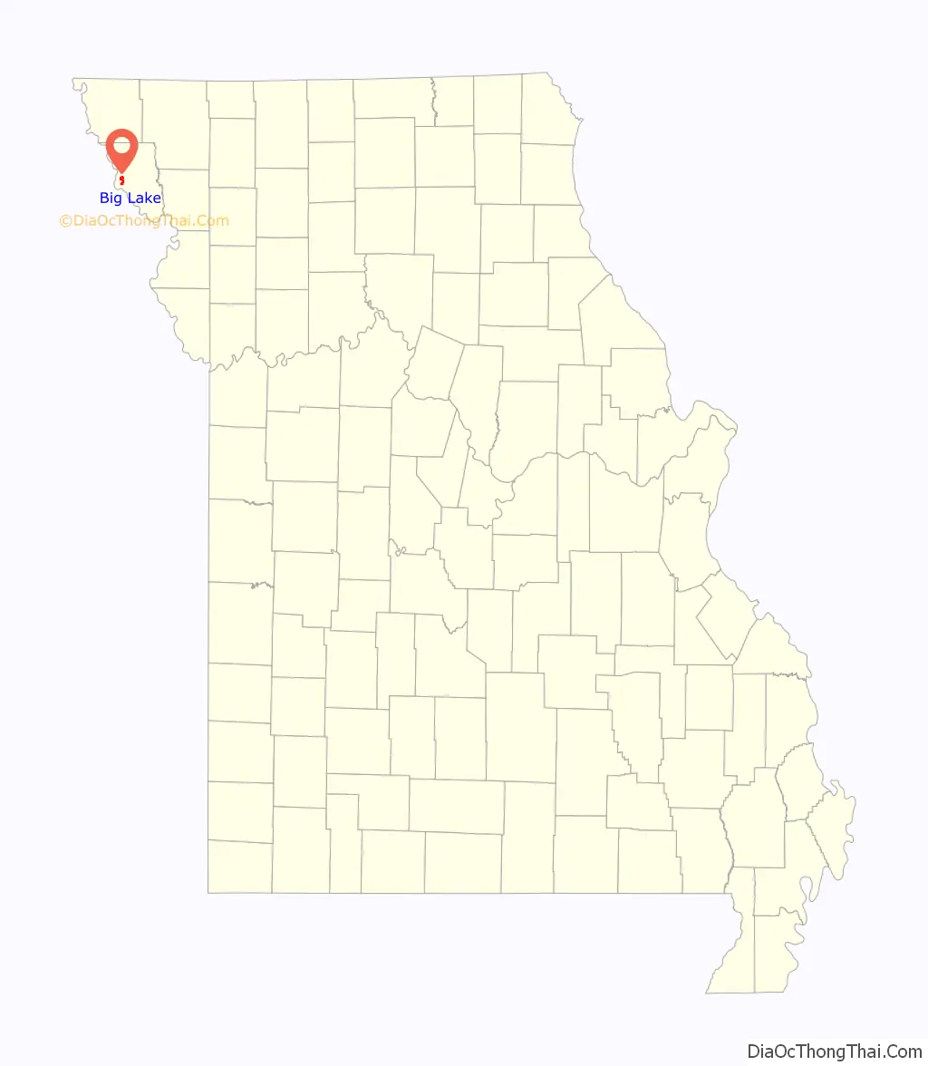
Big Lake location map. Where is Big Lake village?
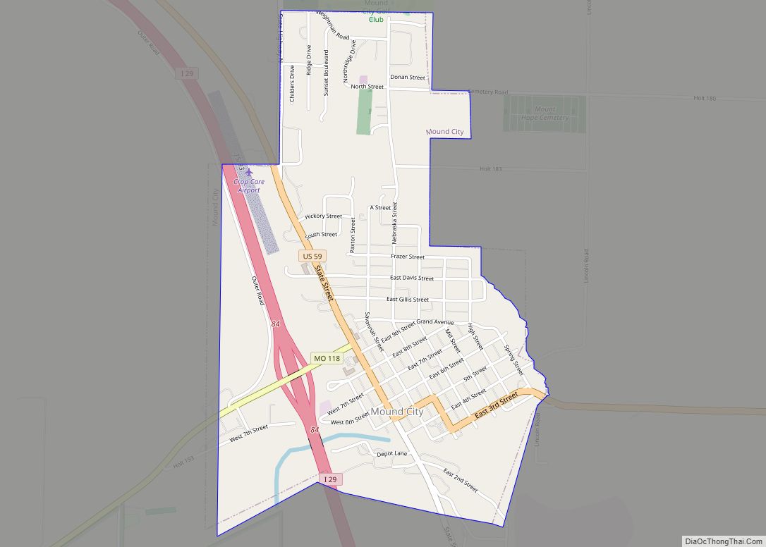
Big Lake Road Map
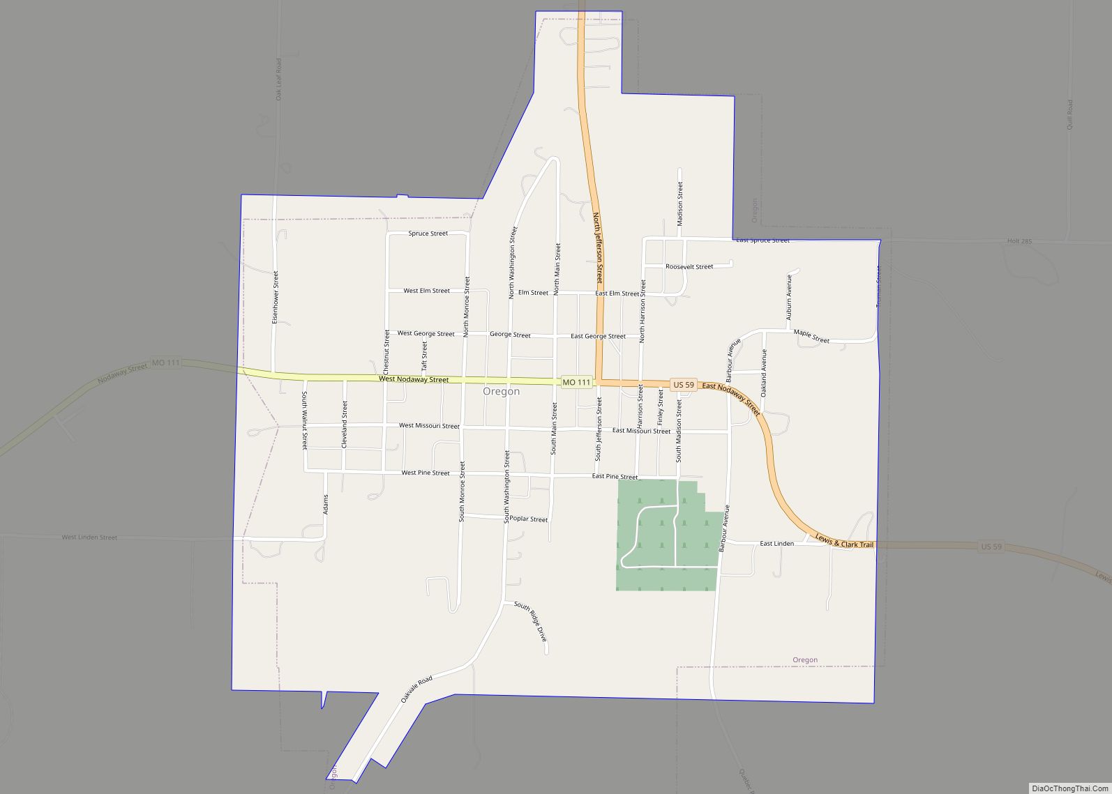
Big Lake city Satellite Map
Geography
The actual lake of Big Lake was originally part of the Missouri River. The lake was formed when the river changed course, leaving the lake behind.
According to the United States Census Bureau, the village has a total area of 2.61 square miles (6.76 km), of which 1.64 square miles (4.25 km) is land and 0.97 square miles (2.51 km) is water.
Big Lake is approximately 10 miles (16 km) west of Mound City on Route 111, off Route 118.
Big Lake is about ten miles (16 km) from the village of Rulo, Nebraska.
See also
Map of Missouri State and its subdivision:- Adair
- Andrew
- Atchison
- Audrain
- Barry
- Barton
- Bates
- Benton
- Bollinger
- Boone
- Buchanan
- Butler
- Caldwell
- Callaway
- Camden
- Cape Girardeau
- Carroll
- Carter
- Cass
- Cedar
- Chariton
- Christian
- Clark
- Clay
- Clinton
- Cole
- Cooper
- Crawford
- Dade
- Dallas
- Daviess
- De Kalb
- Dent
- Douglas
- Dunklin
- Franklin
- Gasconade
- Gentry
- Greene
- Grundy
- Harrison
- Henry
- Hickory
- Holt
- Howard
- Howell
- Iron
- Jackson
- Jasper
- Jefferson
- Johnson
- Knox
- Laclede
- Lafayette
- Lawrence
- Lewis
- Lincoln
- Linn
- Livingston
- Macon
- Madison
- Maries
- Marion
- McDonald
- Mercer
- Miller
- Mississippi
- Moniteau
- Monroe
- Montgomery
- Morgan
- New Madrid
- Newton
- Nodaway
- Oregon
- Osage
- Ozark
- Pemiscot
- Perry
- Pettis
- Phelps
- Pike
- Platte
- Polk
- Pulaski
- Putnam
- Ralls
- Randolph
- Ray
- Reynolds
- Ripley
- Saint Charles
- Saint Clair
- Saint Francois
- Saint Louis
- Sainte Genevieve
- Saline
- Schuyler
- Scotland
- Scott
- Shannon
- Shelby
- Stoddard
- Stone
- Sullivan
- Taney
- Texas
- Vernon
- Warren
- Washington
- Wayne
- Webster
- Worth
- Wright
- Alabama
- Alaska
- Arizona
- Arkansas
- California
- Colorado
- Connecticut
- Delaware
- District of Columbia
- Florida
- Georgia
- Hawaii
- Idaho
- Illinois
- Indiana
- Iowa
- Kansas
- Kentucky
- Louisiana
- Maine
- Maryland
- Massachusetts
- Michigan
- Minnesota
- Mississippi
- Missouri
- Montana
- Nebraska
- Nevada
- New Hampshire
- New Jersey
- New Mexico
- New York
- North Carolina
- North Dakota
- Ohio
- Oklahoma
- Oregon
- Pennsylvania
- Rhode Island
- South Carolina
- South Dakota
- Tennessee
- Texas
- Utah
- Vermont
- Virginia
- Washington
- West Virginia
- Wisconsin
- Wyoming