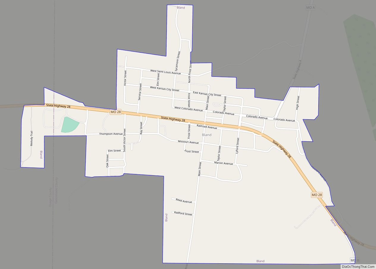
Bland is a city in Gasconade and Osage counties in the U.S. state of Missouri. The population was 506 at the 2020 census.
The Osage County portion of Bland is part of the Jefferson City, Missouri Metropolitan Statistical Area.
| Name: | Bland city |
|---|---|
| LSAD Code: | 25 |
| LSAD Description: | city (suffix) |
| State: | Missouri |
| County: | Gasconade County, Osage County |
| Elevation: | 997 ft (304 m) |
| Total Area: | 0.65 sq mi (1.67 km²) |
| Land Area: | 0.65 sq mi (1.67 km²) |
| Water Area: | 0.00 sq mi (0.00 km²) |
| Total Population: | 506 |
| Population Density: | 784.50/sq mi (302.82/km²) |
| ZIP code: | 65014, 65062 |
| Area code: | 573 |
| FIPS code: | 2906256 |
| GNISfeature ID: | 2394190 |
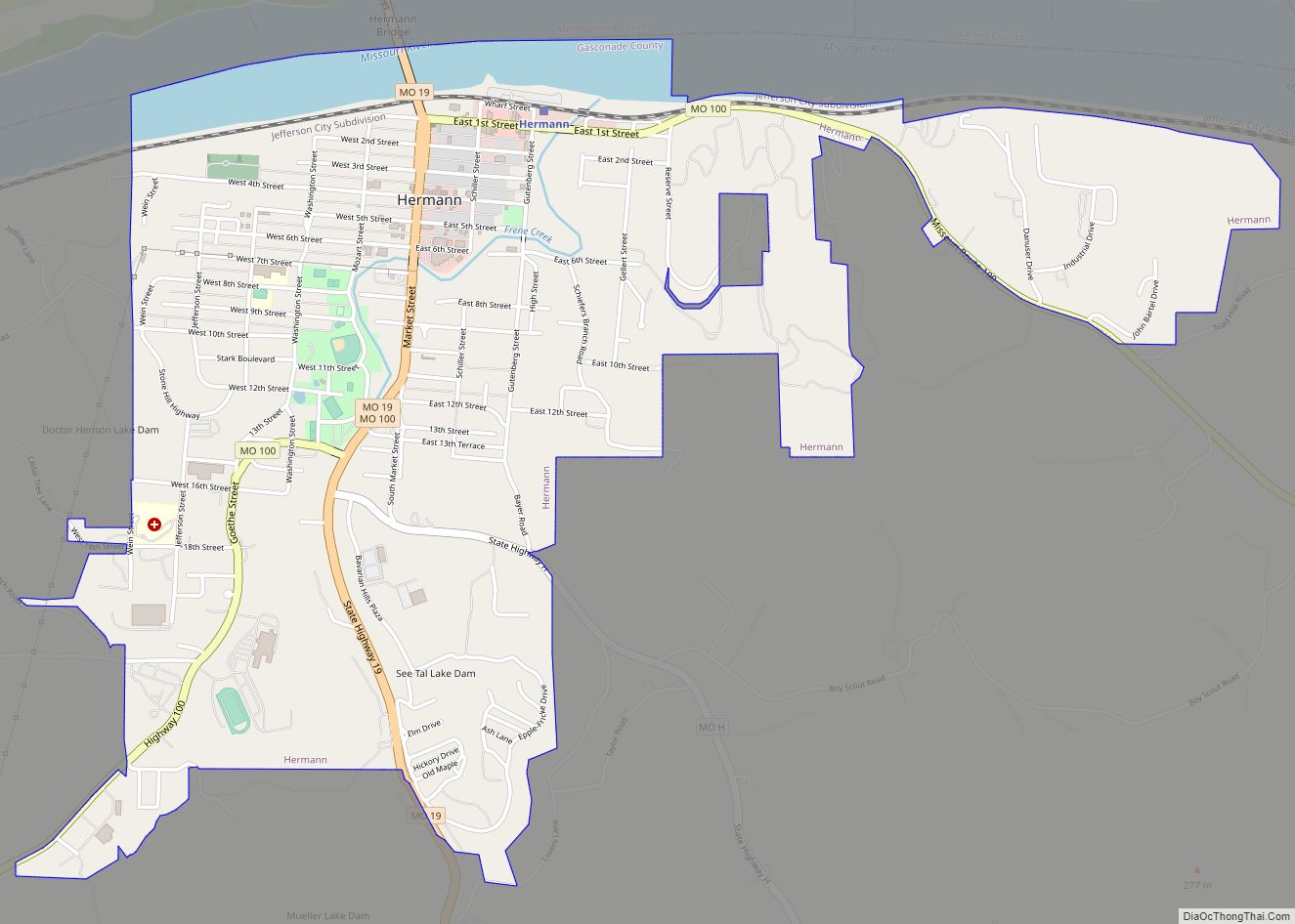
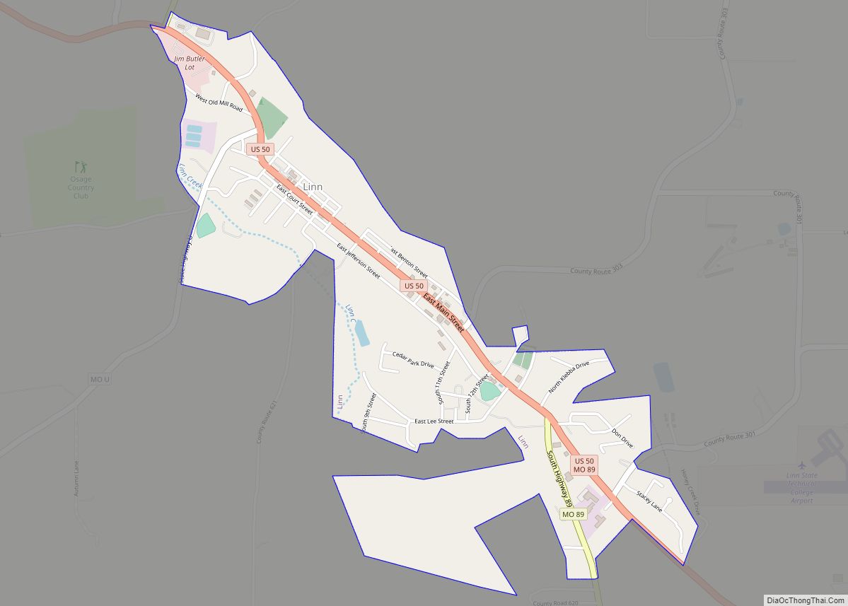
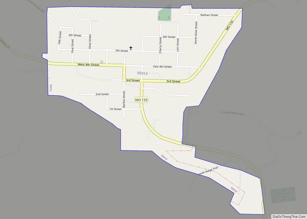
Online Interactive Map
Click on ![]() to view map in "full screen" mode.
to view map in "full screen" mode.
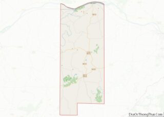
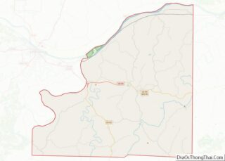
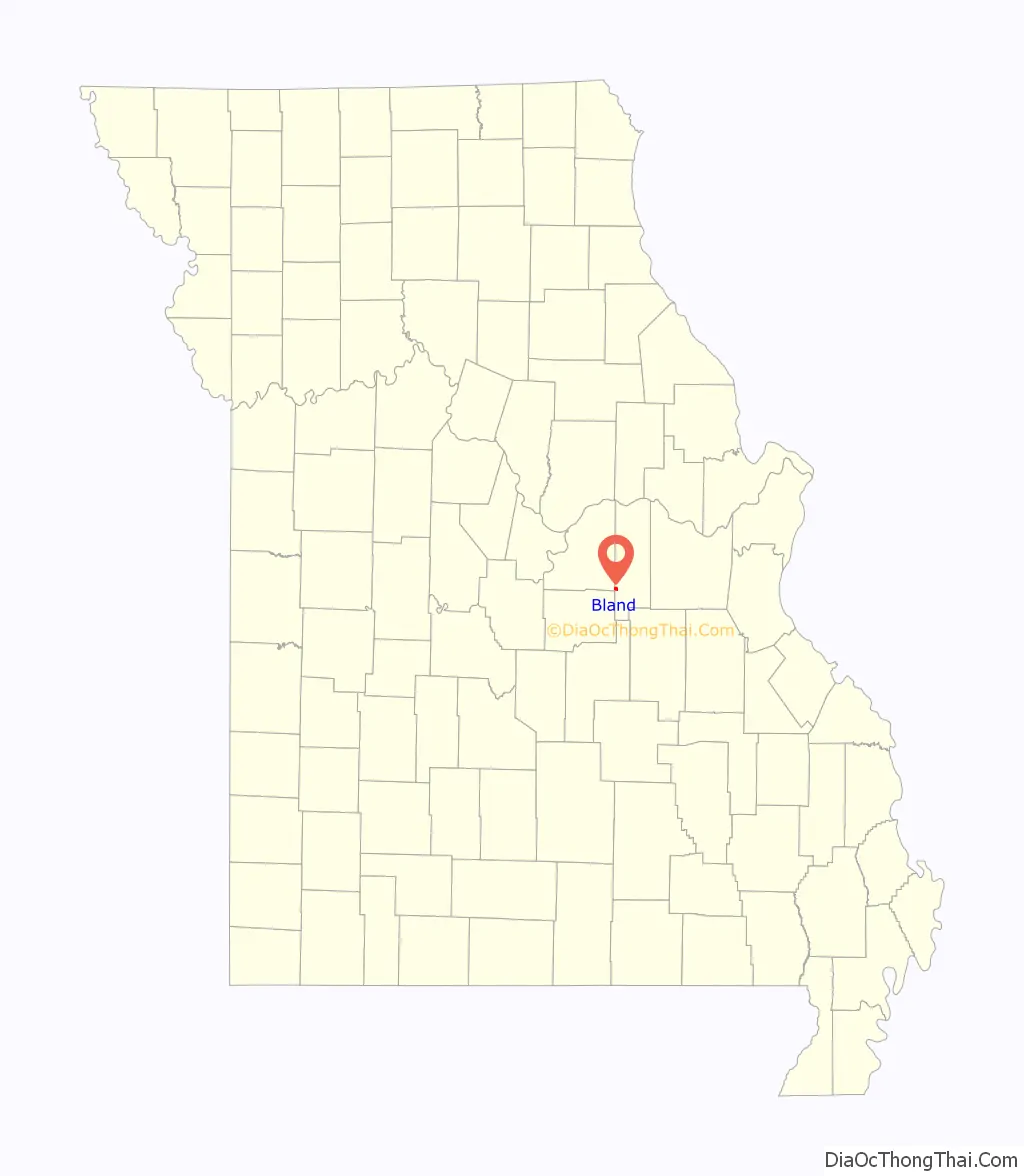
Bland location map. Where is Bland city?

History
A post office called Bland has been in operation since 1877. The town is named in honor of U.S. Congressman Richard Parks Bland, a United States Representative from various districts in south central Missouri. Bland was a practicing attorney in Rolla in neighboring Phelps County.
In 2020 the Indie film SCP: Overlord was filmed in Bland. The short film takes place in the SCP Foundation universe. The film was written by Evan Muir and directed by Steven Hancock. The film also starred Noah Bryan. The movie would go on to win 5 awards at the Tampa Bay Underground Film Festival, including Best Short Film and Best Sci-Fi/Fantasy Film.
Bland Road Map

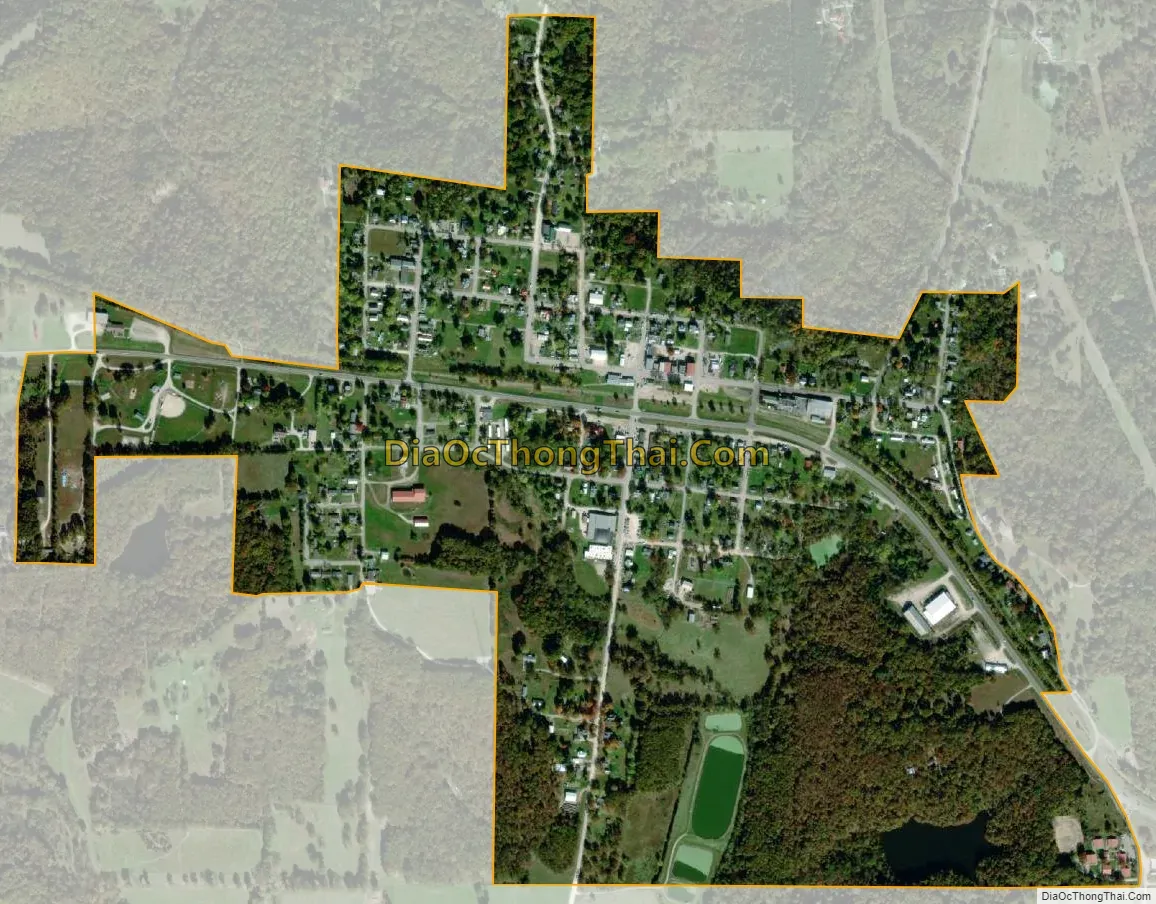
Bland city Satellite Map
Geography
According to the United States Census Bureau, the city has a total area of 0.65 square miles (1.68 km), all land.
See also
Map of Missouri State and its subdivision:- Adair
- Andrew
- Atchison
- Audrain
- Barry
- Barton
- Bates
- Benton
- Bollinger
- Boone
- Buchanan
- Butler
- Caldwell
- Callaway
- Camden
- Cape Girardeau
- Carroll
- Carter
- Cass
- Cedar
- Chariton
- Christian
- Clark
- Clay
- Clinton
- Cole
- Cooper
- Crawford
- Dade
- Dallas
- Daviess
- De Kalb
- Dent
- Douglas
- Dunklin
- Franklin
- Gasconade
- Gentry
- Greene
- Grundy
- Harrison
- Henry
- Hickory
- Holt
- Howard
- Howell
- Iron
- Jackson
- Jasper
- Jefferson
- Johnson
- Knox
- Laclede
- Lafayette
- Lawrence
- Lewis
- Lincoln
- Linn
- Livingston
- Macon
- Madison
- Maries
- Marion
- McDonald
- Mercer
- Miller
- Mississippi
- Moniteau
- Monroe
- Montgomery
- Morgan
- New Madrid
- Newton
- Nodaway
- Oregon
- Osage
- Ozark
- Pemiscot
- Perry
- Pettis
- Phelps
- Pike
- Platte
- Polk
- Pulaski
- Putnam
- Ralls
- Randolph
- Ray
- Reynolds
- Ripley
- Saint Charles
- Saint Clair
- Saint Francois
- Saint Louis
- Sainte Genevieve
- Saline
- Schuyler
- Scotland
- Scott
- Shannon
- Shelby
- Stoddard
- Stone
- Sullivan
- Taney
- Texas
- Vernon
- Warren
- Washington
- Wayne
- Webster
- Worth
- Wright
- Alabama
- Alaska
- Arizona
- Arkansas
- California
- Colorado
- Connecticut
- Delaware
- District of Columbia
- Florida
- Georgia
- Hawaii
- Idaho
- Illinois
- Indiana
- Iowa
- Kansas
- Kentucky
- Louisiana
- Maine
- Maryland
- Massachusetts
- Michigan
- Minnesota
- Mississippi
- Missouri
- Montana
- Nebraska
- Nevada
- New Hampshire
- New Jersey
- New Mexico
- New York
- North Carolina
- North Dakota
- Ohio
- Oklahoma
- Oregon
- Pennsylvania
- Rhode Island
- South Carolina
- South Dakota
- Tennessee
- Texas
- Utah
- Vermont
- Virginia
- Washington
- West Virginia
- Wisconsin
- Wyoming