Buckner is a city in Jackson County, Missouri, United States. The population was 3,076 at the 2010 census. For decades it was best known for TV and radio commercials promoting local automobile dealership Lasater Ford, run by the Lasater brothers, Wilson and Milton and later Halverson Ford. It is part of the Kansas City metropolitan area.
| Name: | Buckner city |
|---|---|
| LSAD Code: | 25 |
| LSAD Description: | city (suffix) |
| State: | Missouri |
| County: | Jackson County |
| Elevation: | 751 ft (229 m) |
| Total Area: | 1.79 sq mi (4.63 km²) |
| Land Area: | 1.79 sq mi (4.62 km²) |
| Water Area: | 0.00 sq mi (0.01 km²) |
| Total Population: | 2,945 |
| Population Density: | 1,648.94/sq mi (636.81/km²) |
| ZIP code: | 64016 |
| Area code: | 816 |
| FIPS code: | 2909424 |
| GNISfeature ID: | 0735540 |
Online Interactive Map
Click on ![]() to view map in "full screen" mode.
to view map in "full screen" mode.
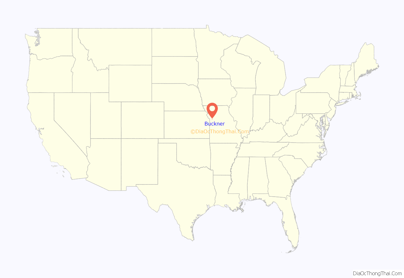
Buckner location map. Where is Buckner city?
History
Buckner was established in 1875. In its inception Buckner was a railroad depot town for the Missouri Pacific Railroad. Where Buckner derives its name from is a point of contention; the town is either named from former US Senator Alexander Buckner (1830-1833) who served on the States Constitutional Convention in 1820, or named after Real Estate operator Simon Buckner. Yet another claim as namesake is Thomas W. Buckner, an original owner of the site.
The WGN America series Outlaw Country was set in Buckner.
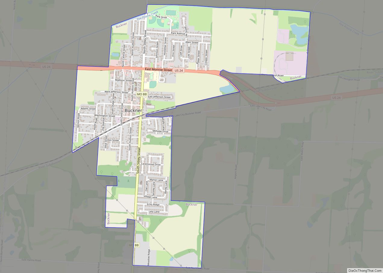
Buckner Road Map
Buckner city Satellite Map
Geography
Buckner is located at 39°8′5″N 94°11′54″W / 39.13472°N 94.19833°W / 39.13472; -94.19833 (39.134806, -94.198223). According to the United States Census Bureau, the city has a total area of 1.79 square miles (4.64 km), all land.
See also
Map of Missouri State and its subdivision:- Adair
- Andrew
- Atchison
- Audrain
- Barry
- Barton
- Bates
- Benton
- Bollinger
- Boone
- Buchanan
- Butler
- Caldwell
- Callaway
- Camden
- Cape Girardeau
- Carroll
- Carter
- Cass
- Cedar
- Chariton
- Christian
- Clark
- Clay
- Clinton
- Cole
- Cooper
- Crawford
- Dade
- Dallas
- Daviess
- De Kalb
- Dent
- Douglas
- Dunklin
- Franklin
- Gasconade
- Gentry
- Greene
- Grundy
- Harrison
- Henry
- Hickory
- Holt
- Howard
- Howell
- Iron
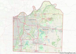
- Jackson
- Jasper
- Jefferson
- Johnson
- Knox
- Laclede
- Lafayette
- Lawrence
- Lewis
- Lincoln
- Linn
- Livingston
- Macon
- Madison
- Maries
- Marion
- McDonald
- Mercer
- Miller
- Mississippi
- Moniteau
- Monroe
- Montgomery
- Morgan
- New Madrid
- Newton
- Nodaway
- Oregon
- Osage
- Ozark
- Pemiscot
- Perry
- Pettis
- Phelps
- Pike
- Platte
- Polk
- Pulaski
- Putnam
- Ralls
- Randolph
- Ray
- Reynolds
- Ripley
- Saint Charles
- Saint Clair
- Saint Francois
- Saint Louis
- Sainte Genevieve
- Saline
- Schuyler
- Scotland
- Scott
- Shannon
- Shelby
- Stoddard
- Stone
- Sullivan
- Taney
- Texas
- Vernon
- Warren
- Washington
- Wayne
- Webster
- Worth
- Wright
- Alabama
- Alaska
- Arizona
- Arkansas
- California
- Colorado
- Connecticut
- Delaware
- District of Columbia
- Florida
- Georgia
- Hawaii
- Idaho
- Illinois
- Indiana
- Iowa
- Kansas
- Kentucky
- Louisiana
- Maine
- Maryland
- Massachusetts
- Michigan
- Minnesota
- Mississippi
- Missouri
- Montana
- Nebraska
- Nevada
- New Hampshire
- New Jersey
- New Mexico
- New York
- North Carolina
- North Dakota
- Ohio
- Oklahoma
- Oregon
- Pennsylvania
- Rhode Island
- South Carolina
- South Dakota
- Tennessee
- Texas
- Utah
- Vermont
- Virginia
- Washington
- West Virginia
- Wisconsin
- Wyoming
