Desloge (/dəˈloʊʒ/ də-LOHZH) is a city in St. Francois County, Missouri, United States. The population was 5,054 as of the 2010 census.
| Name: | Desloge city |
|---|---|
| LSAD Code: | 25 |
| LSAD Description: | city (suffix) |
| State: | Missouri |
| County: | St. Francois County |
| Incorporated: | 1941 |
| Elevation: | 794 ft (242 m) |
| Total Area: | 2.92 sq mi (7.56 km²) |
| Land Area: | 2.92 sq mi (7.56 km²) |
| Water Area: | 0.00 sq mi (0.00 km²) |
| Total Population: | 4,823 |
| Population Density: | 1,652.84/sq mi (638.15/km²) |
| ZIP code: | 63601 |
| Area code: | 573 |
| FIPS code: | 2919216 |
| GNISfeature ID: | 2394526 |
| Website: | www.desloge.com |
Online Interactive Map
Click on ![]() to view map in "full screen" mode.
to view map in "full screen" mode.
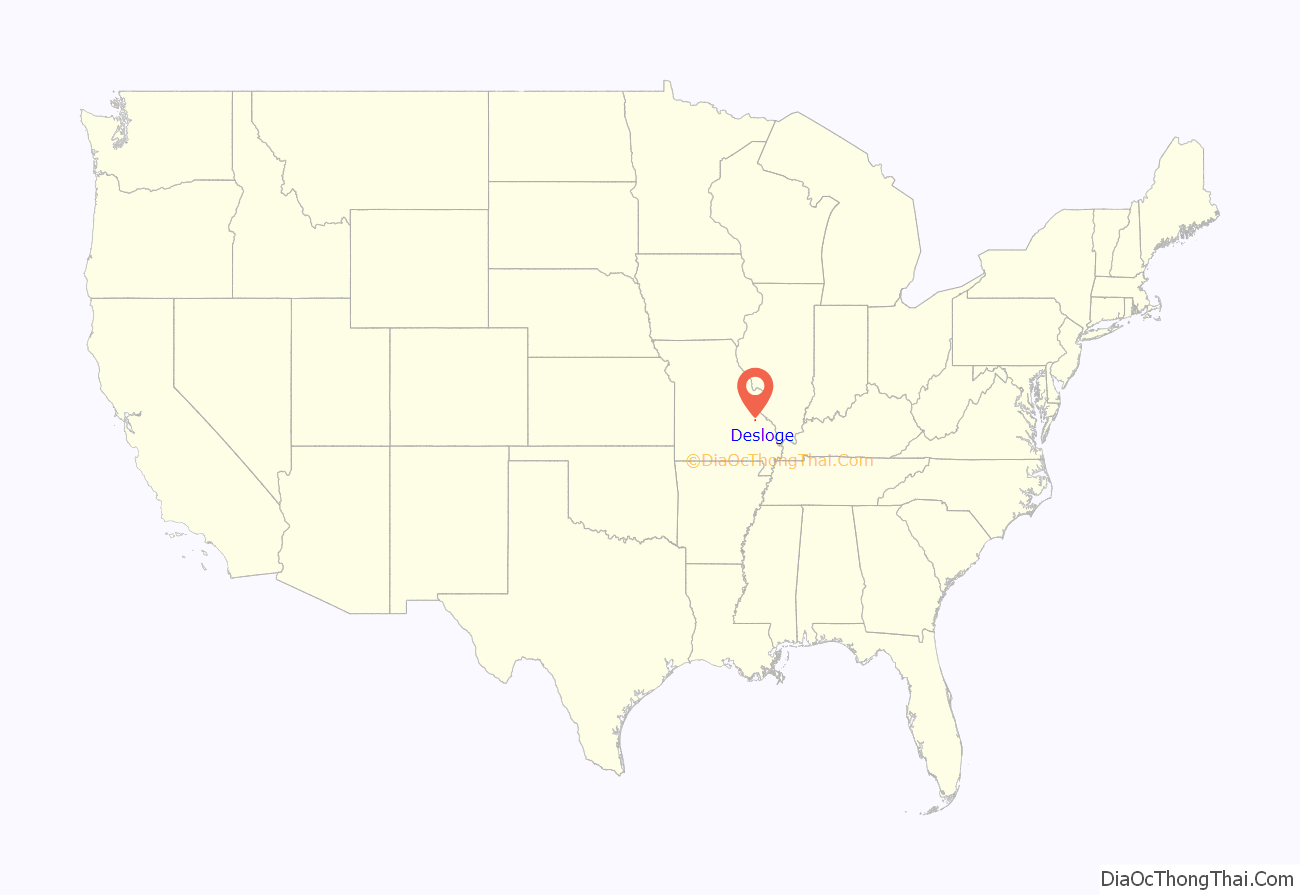
Desloge location map. Where is Desloge city?
History
The city was founded by Firmin V. Desloge II, son of Firmin René Desloge, who migrated from France, settled in Potosi, and began the Desloge Family in America. Firmin V. Desloge II learned about mining from his father and acquired many claims in the area of what is today Desloge and Bonne Terre. A Desloge developed one of his claims just north of Bonne Terre and built a concentrating plant there. After the plant was destroyed by fire in 1883, Desloge explored his properties in the present area of Desloge and consolidated several local mining companies which became known as the Desloge Consolidated Lead Company. In 1887, the land was cleared and company houses for his staff were constructed in an area referred to as “Desloge Town”, just west of the present-day railroad tracks. Here, Desloge sank a shaft and built a concentrating plant which began operations in 1892. Desloge Missouri and the regional Southeast Missouri Lead Mining District became one of the principal lead mining centers in the US. In 1929, the family sold the Desloge Consolidated Lead Company to the St. Joe Lead Company.
Firmin Desloge II, who died in 1930, willed to his family the original 47 acres (190,000 m) of the hand-dug pits of the original lead mining operations and the deeply rutted wagon tracks on a property. The family then donated this land for a park, today named Firmin Desloge Park, and dedicated it to the mining families in the area.
Firmin Desloge moved to St. Louis in the early 1900s. His son, Firmin Desloge III, was superintendent of mines until he moved his family — including his sons Firmin V. Desloge IV, William Livingston Desloge, and Theodore P. Desloge — to St. Louis in 1921.
The city of Desloge was incorporated on March 7, 1941, with D.E. Brown as its first mayor.
In June 2012, three great-great-grandsons of city founder Firmin Desloge II attended a dedication of a bronze medallion donated by great-grandson Steven Rockwell Desloge.
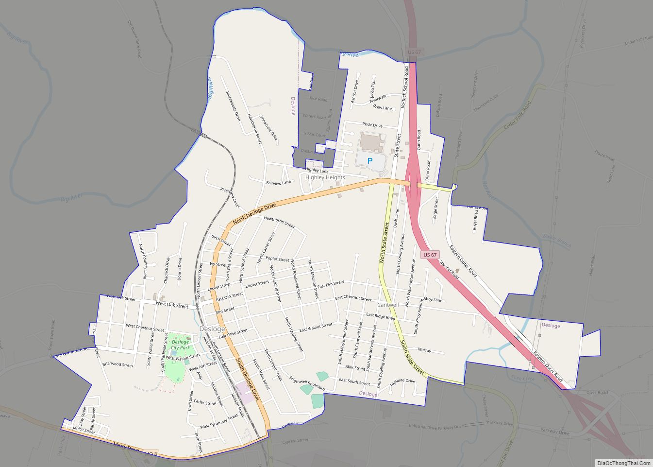
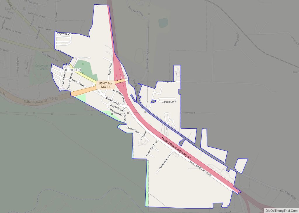
Desloge Road Map
Desloge city Satellite Map
Geography
Desloge is located at 37°52′22″N 90°31′14″W / 37.872781°N 90.520484°W / 37.872781; -90.520484 (37.872781, -90.520484).
According to the United States Census Bureau, the city has a total area of 2.90 square miles (7.51 km), all land.
See also
Map of Missouri State and its subdivision:- Adair
- Andrew
- Atchison
- Audrain
- Barry
- Barton
- Bates
- Benton
- Bollinger
- Boone
- Buchanan
- Butler
- Caldwell
- Callaway
- Camden
- Cape Girardeau
- Carroll
- Carter
- Cass
- Cedar
- Chariton
- Christian
- Clark
- Clay
- Clinton
- Cole
- Cooper
- Crawford
- Dade
- Dallas
- Daviess
- De Kalb
- Dent
- Douglas
- Dunklin
- Franklin
- Gasconade
- Gentry
- Greene
- Grundy
- Harrison
- Henry
- Hickory
- Holt
- Howard
- Howell
- Iron
- Jackson
- Jasper
- Jefferson
- Johnson
- Knox
- Laclede
- Lafayette
- Lawrence
- Lewis
- Lincoln
- Linn
- Livingston
- Macon
- Madison
- Maries
- Marion
- McDonald
- Mercer
- Miller
- Mississippi
- Moniteau
- Monroe
- Montgomery
- Morgan
- New Madrid
- Newton
- Nodaway
- Oregon
- Osage
- Ozark
- Pemiscot
- Perry
- Pettis
- Phelps
- Pike
- Platte
- Polk
- Pulaski
- Putnam
- Ralls
- Randolph
- Ray
- Reynolds
- Ripley
- Saint Charles
- Saint Clair
- Saint Francois
- Saint Louis
- Sainte Genevieve
- Saline
- Schuyler
- Scotland
- Scott
- Shannon
- Shelby
- Stoddard
- Stone
- Sullivan
- Taney
- Texas
- Vernon
- Warren
- Washington
- Wayne
- Webster
- Worth
- Wright
- Alabama
- Alaska
- Arizona
- Arkansas
- California
- Colorado
- Connecticut
- Delaware
- District of Columbia
- Florida
- Georgia
- Hawaii
- Idaho
- Illinois
- Indiana
- Iowa
- Kansas
- Kentucky
- Louisiana
- Maine
- Maryland
- Massachusetts
- Michigan
- Minnesota
- Mississippi
- Missouri
- Montana
- Nebraska
- Nevada
- New Hampshire
- New Jersey
- New Mexico
- New York
- North Carolina
- North Dakota
- Ohio
- Oklahoma
- Oregon
- Pennsylvania
- Rhode Island
- South Carolina
- South Dakota
- Tennessee
- Texas
- Utah
- Vermont
- Virginia
- Washington
- West Virginia
- Wisconsin
- Wyoming
