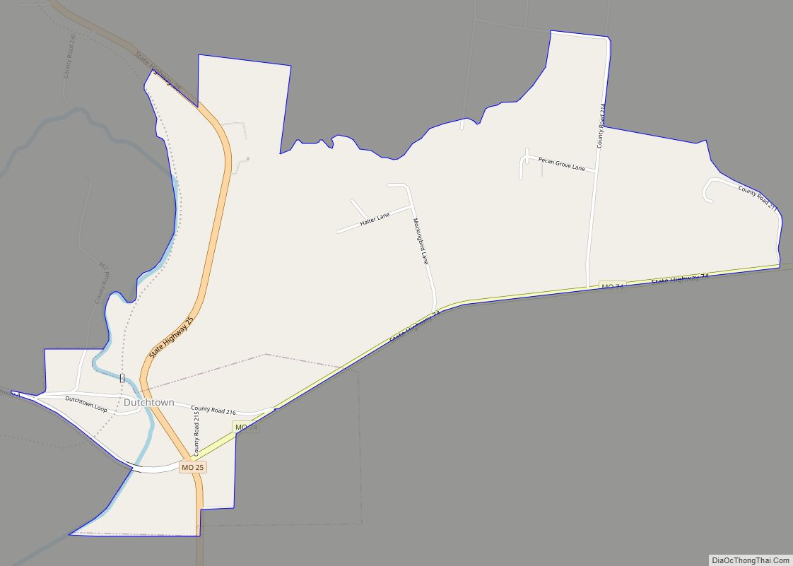
Dutchtown is a census-designated place (CDP) and former village in Cape Girardeau County, Missouri, United States, located at the intersection of Routes 25 and 74. The population was 163 at the 2020 census. It was part of the Cape Girardeau–Jackson, MO-IL Metropolitan Statistical Area.
| Name: | Dutchtown CDP |
|---|---|
| LSAD Code: | 57 |
| LSAD Description: | CDP (suffix) |
| State: | Missouri |
| County: | Cape Girardeau County |
| Elevation: | 354 ft (108 m) |
| Total Area: | 1.78 sq mi (4.61 km²) |
| Land Area: | 1.78 sq mi (4.61 km²) |
| Water Area: | 0.00 sq mi (0.00 km²) |
| Total Population: | 163 |
| Population Density: | 91.62/sq mi (35.37/km²) |
| ZIP code: | 63745 |
| Area code: | 573 |
| FIPS code: | 2920566 |
| GNISfeature ID: | 0731565 |
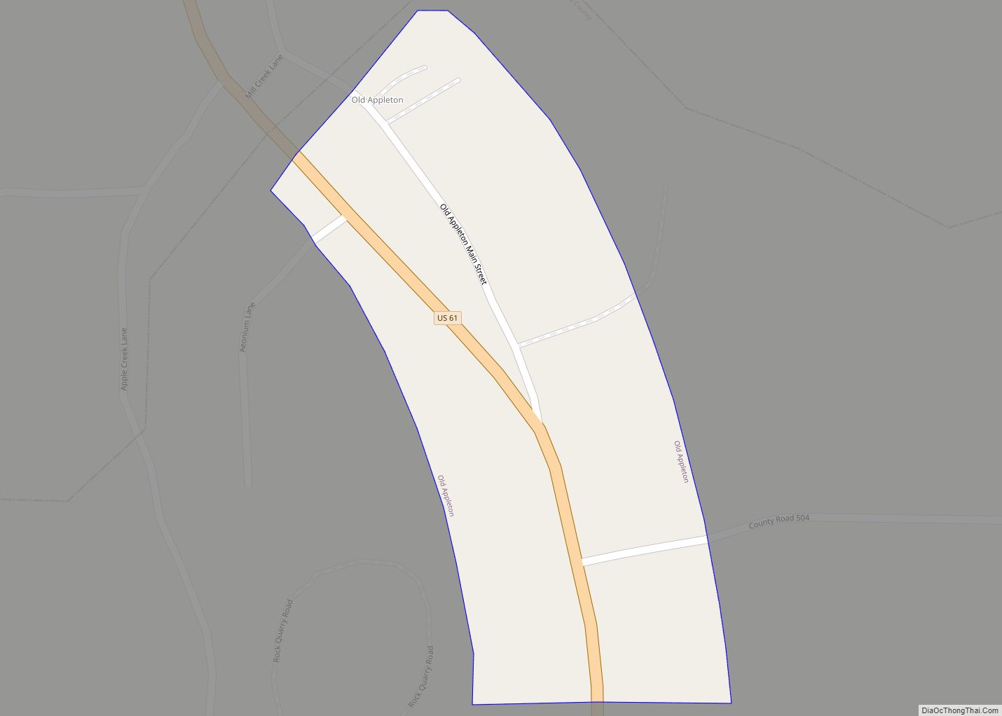
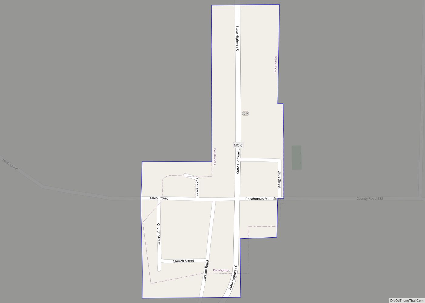
Online Interactive Map
Click on ![]() to view map in "full screen" mode.
to view map in "full screen" mode.
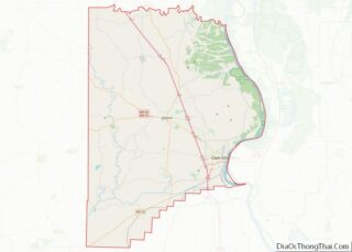
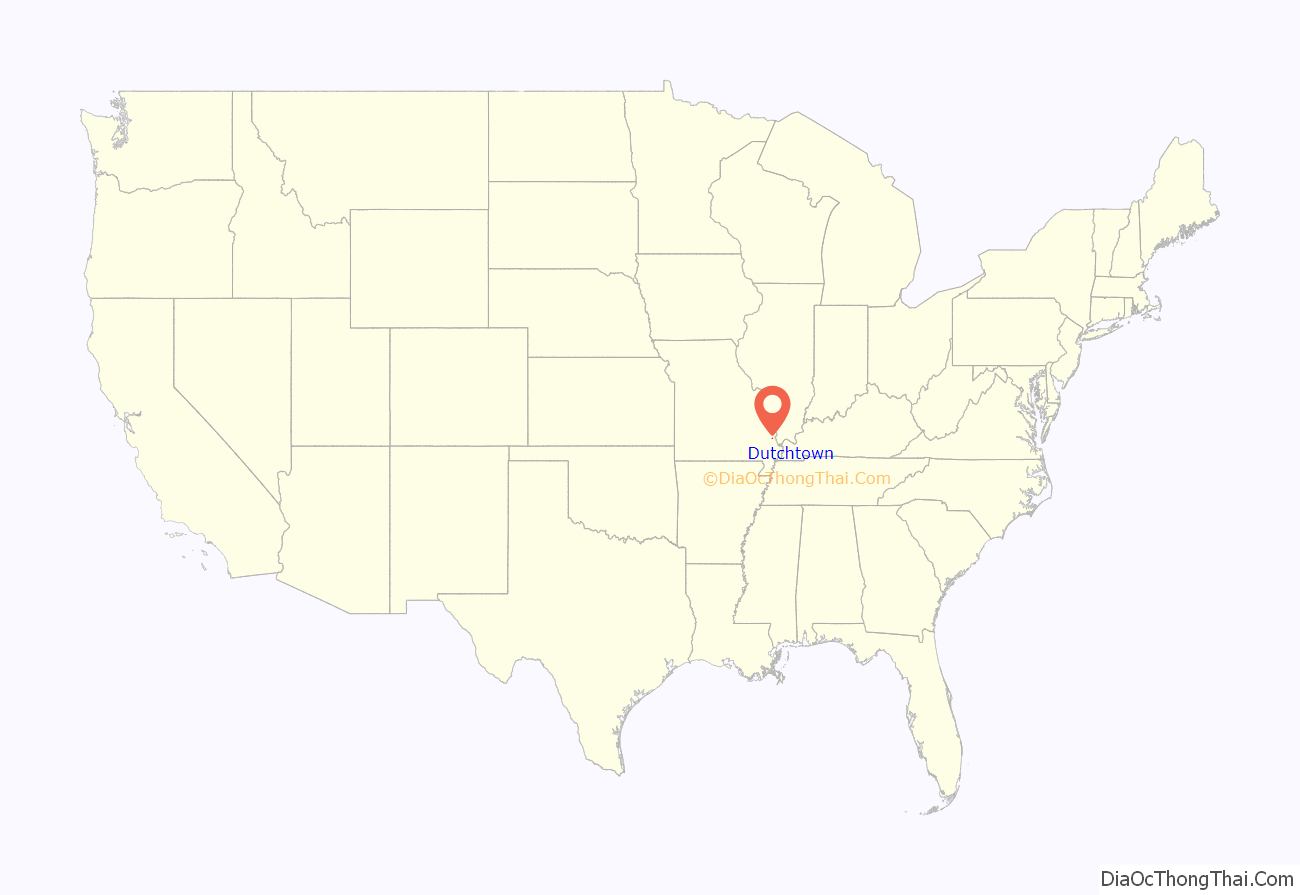
Dutchtown location map. Where is Dutchtown CDP?
History
Dutchtown had a long history of habitation. Martin Rodner, a Hessian soldier who came to America in 1776 to fight for the British during America’s Revolutionary War, moved his family to the Dutchtown area in 1801, where he owned a water mill on Hubble Creek. Because his American neighbors had trouble pronouncing his name, it became “Rodney”, and his mill was known as Rodney’s Mill. He died in 1827.
In the mid-1830s, the area near Rodney’s Mill began being settled by Swiss and German families; they called their settlement Spencer. That later became Dutchtown, a variation of the word “Deutsch,” which means German.
The small village grew. A blacksmith and a bricklayer settled there. Bloomfield Road ran through the town, as did railroad tracks.
In 1799, the first Protestant sermon and baptism immersion west of the Mississippi River was performed in Randol Creek near modern-day Dutchtown.
In 1836 the German Evangelical Church was founded and remained an active congregation until about 1900. The original church was log, but a brick edifice was built in 1887. The church remains, as does its cemetery with about 150 markers.
The church was also referred to as the “Swamp Church,” since the village was built on the edge of a swamp.
Dutchtown was incorporated in February 1998 following a petition created by residents, and was disincorporated on 15 March 2018, following continuous flooding problems. The constant flooding (which occurred in 1973, 1993, 1995, 1998, 2002, 2011, 2013, 2016 and 2017) caused several people to already seek federal buyouts, and all of Dutchtown’s assets will be handed over to the county.
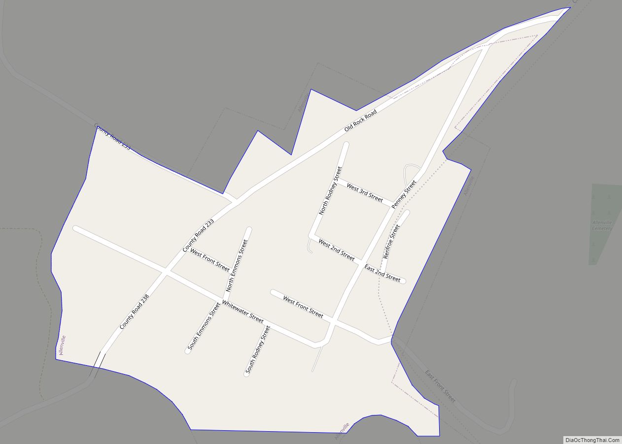
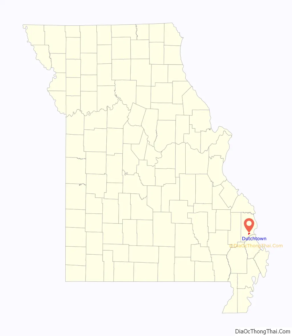
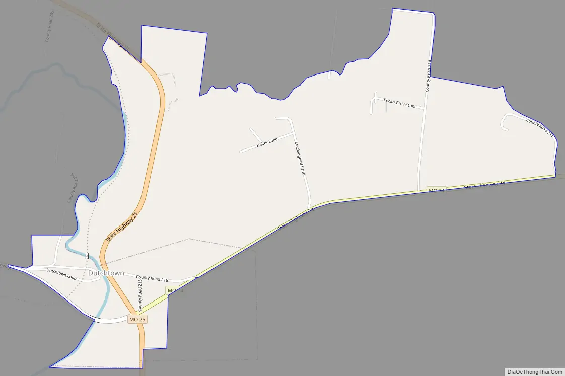
Dutchtown Road Map
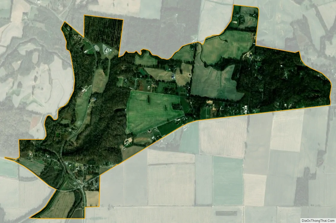
Dutchtown city Satellite Map
Geography
Dutchtown is located at 37°15′8″N 89°39′29″W / 37.25222°N 89.65806°W / 37.25222; -89.65806 (37.252300, -89.658064).
According to the United States Census Bureau, the village has a total area of 0.52 square miles (1.35 km), all land.
See also
Map of Missouri State and its subdivision:- Adair
- Andrew
- Atchison
- Audrain
- Barry
- Barton
- Bates
- Benton
- Bollinger
- Boone
- Buchanan
- Butler
- Caldwell
- Callaway
- Camden
- Cape Girardeau
- Carroll
- Carter
- Cass
- Cedar
- Chariton
- Christian
- Clark
- Clay
- Clinton
- Cole
- Cooper
- Crawford
- Dade
- Dallas
- Daviess
- De Kalb
- Dent
- Douglas
- Dunklin
- Franklin
- Gasconade
- Gentry
- Greene
- Grundy
- Harrison
- Henry
- Hickory
- Holt
- Howard
- Howell
- Iron
- Jackson
- Jasper
- Jefferson
- Johnson
- Knox
- Laclede
- Lafayette
- Lawrence
- Lewis
- Lincoln
- Linn
- Livingston
- Macon
- Madison
- Maries
- Marion
- McDonald
- Mercer
- Miller
- Mississippi
- Moniteau
- Monroe
- Montgomery
- Morgan
- New Madrid
- Newton
- Nodaway
- Oregon
- Osage
- Ozark
- Pemiscot
- Perry
- Pettis
- Phelps
- Pike
- Platte
- Polk
- Pulaski
- Putnam
- Ralls
- Randolph
- Ray
- Reynolds
- Ripley
- Saint Charles
- Saint Clair
- Saint Francois
- Saint Louis
- Sainte Genevieve
- Saline
- Schuyler
- Scotland
- Scott
- Shannon
- Shelby
- Stoddard
- Stone
- Sullivan
- Taney
- Texas
- Vernon
- Warren
- Washington
- Wayne
- Webster
- Worth
- Wright
- Alabama
- Alaska
- Arizona
- Arkansas
- California
- Colorado
- Connecticut
- Delaware
- District of Columbia
- Florida
- Georgia
- Hawaii
- Idaho
- Illinois
- Indiana
- Iowa
- Kansas
- Kentucky
- Louisiana
- Maine
- Maryland
- Massachusetts
- Michigan
- Minnesota
- Mississippi
- Missouri
- Montana
- Nebraska
- Nevada
- New Hampshire
- New Jersey
- New Mexico
- New York
- North Carolina
- North Dakota
- Ohio
- Oklahoma
- Oregon
- Pennsylvania
- Rhode Island
- South Carolina
- South Dakota
- Tennessee
- Texas
- Utah
- Vermont
- Virginia
- Washington
- West Virginia
- Wisconsin
- Wyoming