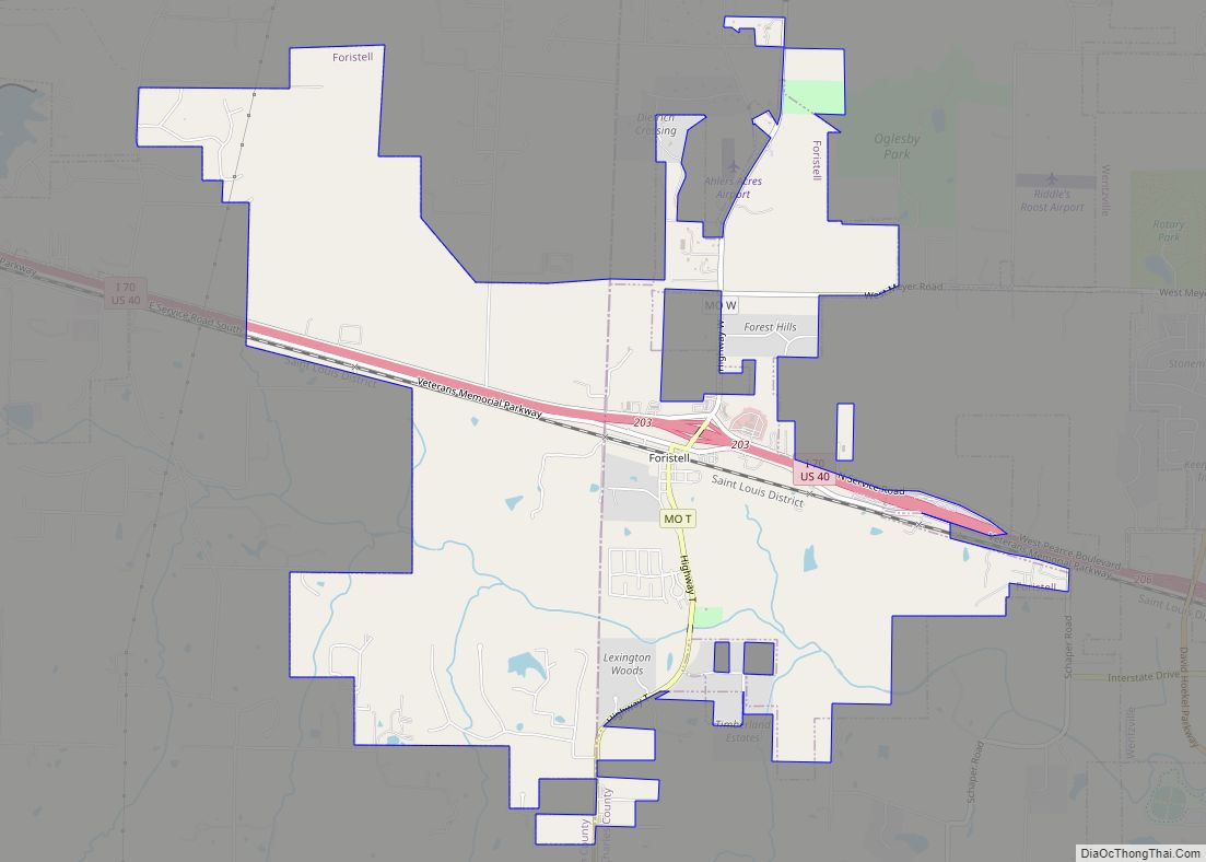
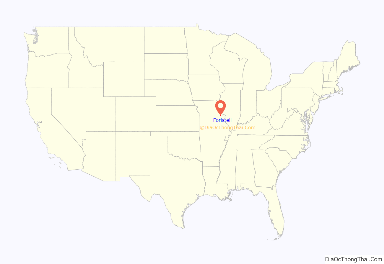
Foristell is a city in St. Charles and Warren counties in the U.S. state of Missouri. The population was 505 at the 2010 census.
| Name: | Foristell city |
|---|---|
| LSAD Code: | 25 |
| LSAD Description: | city (suffix) |
| State: | Missouri |
| County: | St. Charles County, Warren County |
| Elevation: | 705 ft (215 m) |
| Total Area: | 6.16 sq mi (15.96 km²) |
| Land Area: | 6.06 sq mi (15.70 km²) |
| Water Area: | 0.10 sq mi (0.26 km²) |
| Total Population: | 550 |
| Population Density: | 90.71/sq mi (35.02/km²) |
| FIPS code: | 2925120 |
| GNISfeature ID: | 2394791 |
| Website: | www.cityofforistell.org |
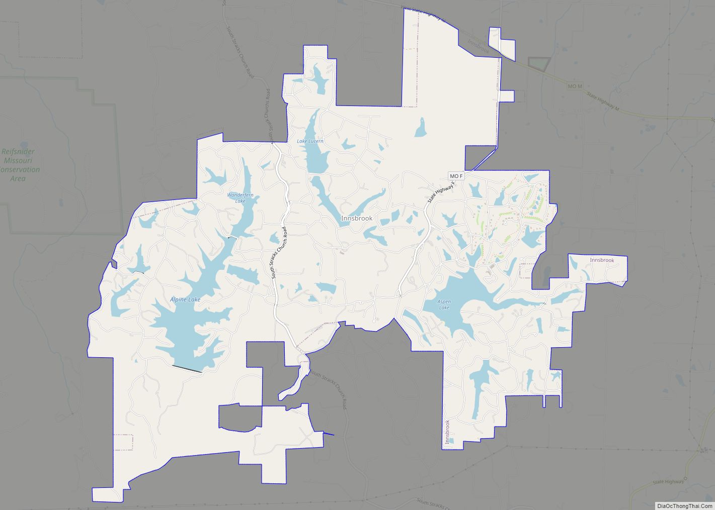
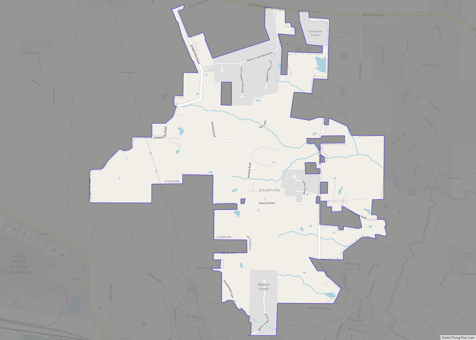
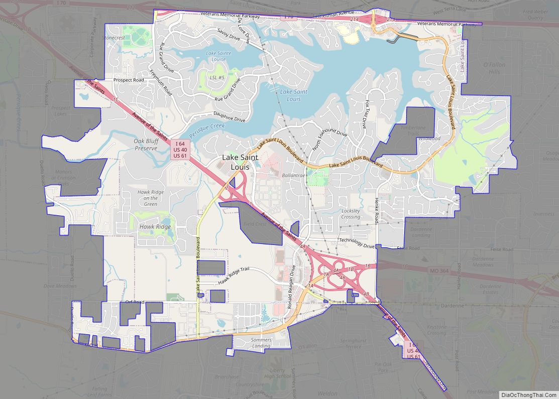
Online Interactive Map
Click on ![]() to view map in "full screen" mode.
to view map in "full screen" mode.
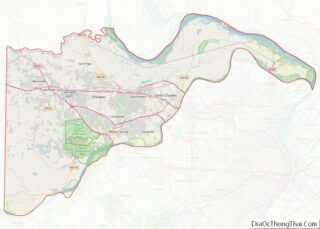
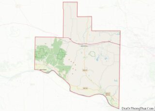
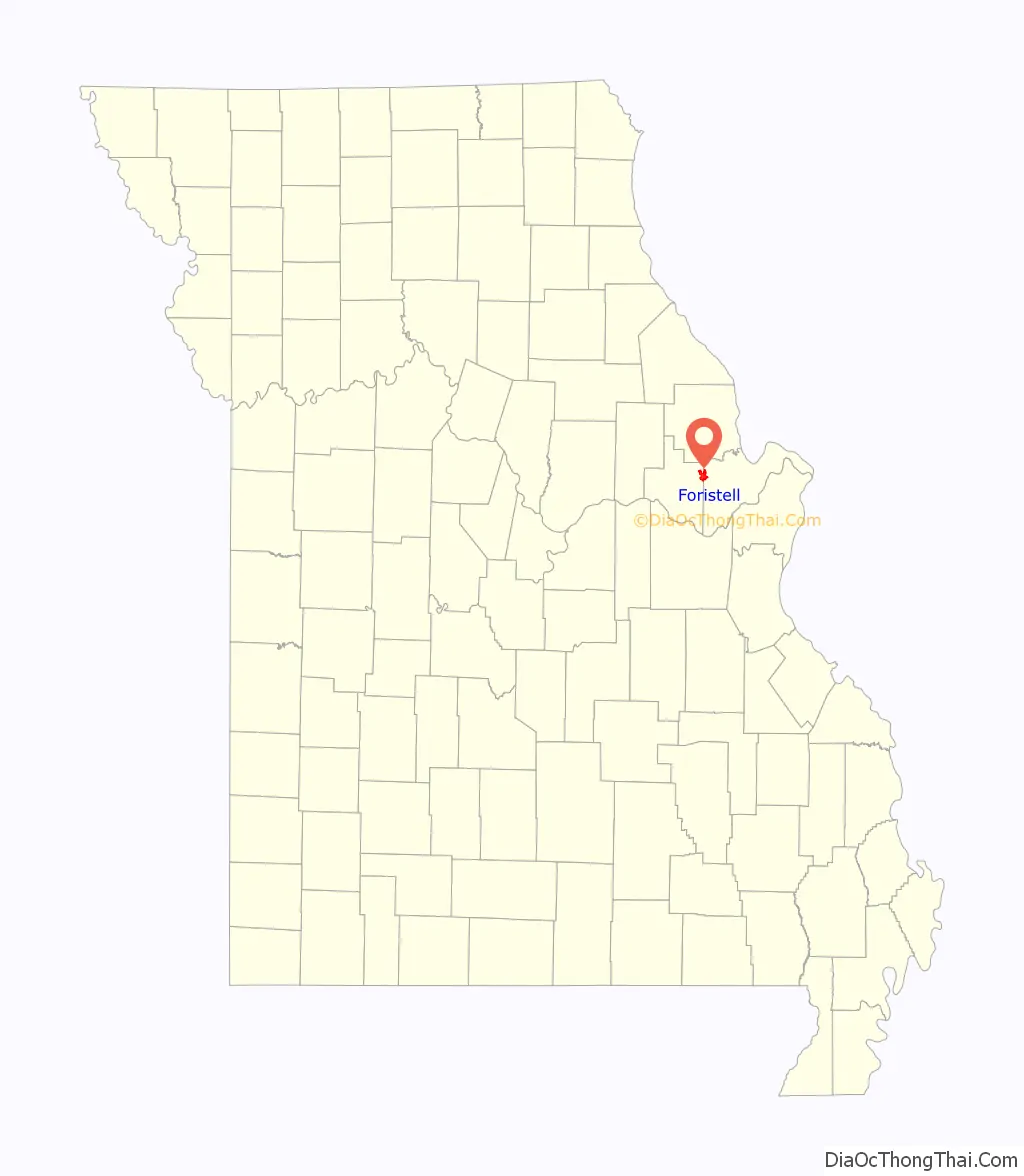
Foristell location map. Where is Foristell city?
History
The city now known as Foristell started in 1856 under the name of “Millville”. The first homes, as well as a railroad, were constructed in that year. In 1858, Millville built its first post office.
The community saw rapid growth during the Civil War. A mill and a tobacco factory were both established. It was during this time that a man by the name of Pierre Foristell gained respect throughout the community. The town of Millville officially changed its name to Foristell in 1875.
In 1979, Foristell was incorporated into a village. Just nine years later, however, the residents voted to make it a fourth-class city. This transition came about the following year, in 1989.
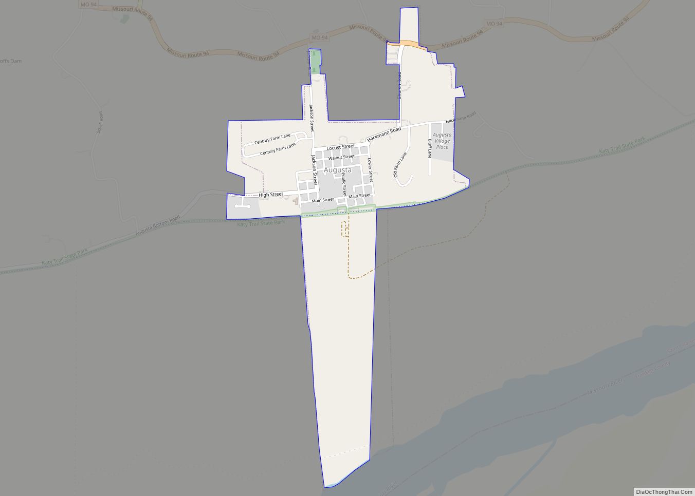
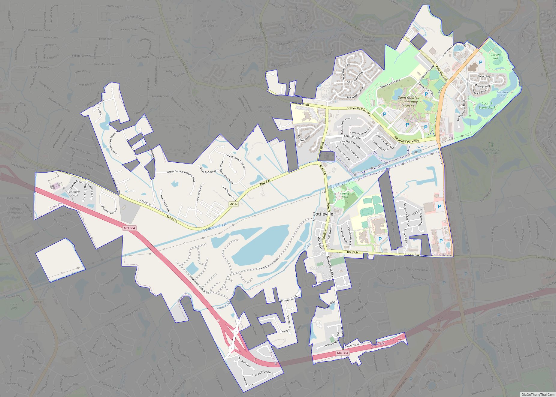
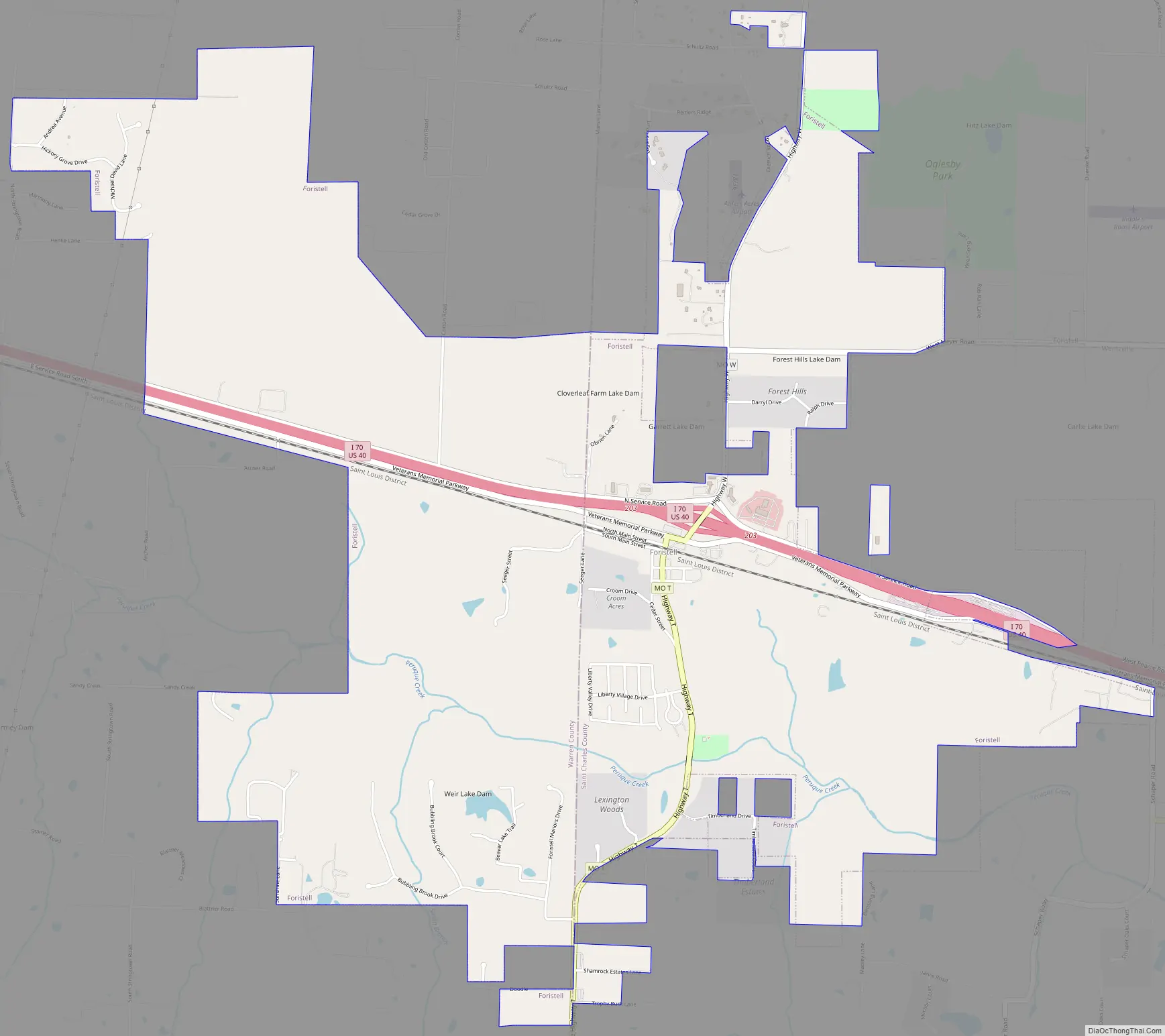
Foristell Road Map
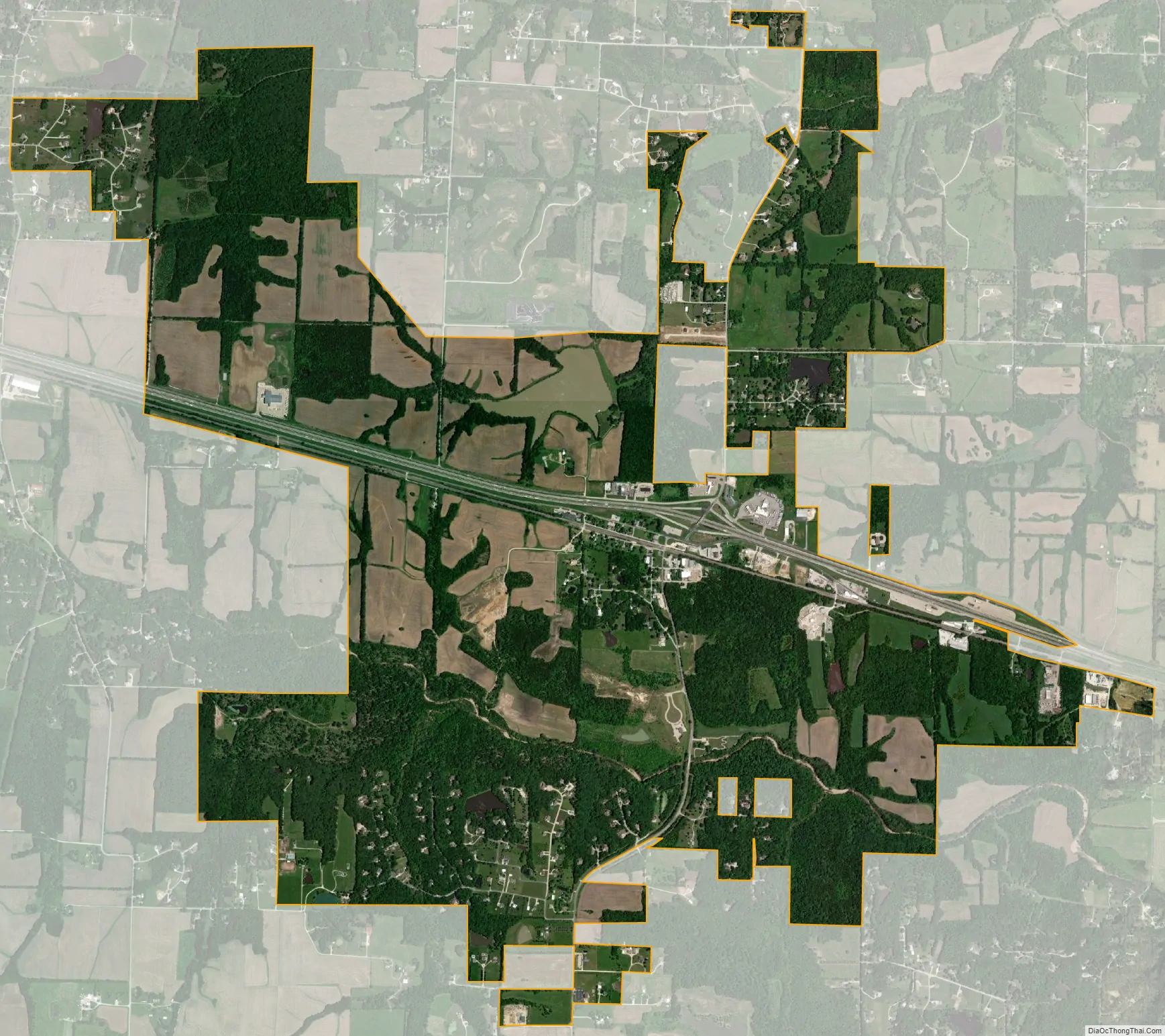
Foristell city Satellite Map
Geography
Foristell is located on I-70 between Wright City to the west and Wentzville to the east. Peruque Creek flows past the south side of the city.
According to the United States Census Bureau, the city has a total area of 5.62 square miles (14.56 km), of which 5.53 square miles (14.32 km) is land and 0.09 square miles (0.23 km) is water.
See also
Map of Missouri State and its subdivision:- Adair
- Andrew
- Atchison
- Audrain
- Barry
- Barton
- Bates
- Benton
- Bollinger
- Boone
- Buchanan
- Butler
- Caldwell
- Callaway
- Camden
- Cape Girardeau
- Carroll
- Carter
- Cass
- Cedar
- Chariton
- Christian
- Clark
- Clay
- Clinton
- Cole
- Cooper
- Crawford
- Dade
- Dallas
- Daviess
- De Kalb
- Dent
- Douglas
- Dunklin
- Franklin
- Gasconade
- Gentry
- Greene
- Grundy
- Harrison
- Henry
- Hickory
- Holt
- Howard
- Howell
- Iron
- Jackson
- Jasper
- Jefferson
- Johnson
- Knox
- Laclede
- Lafayette
- Lawrence
- Lewis
- Lincoln
- Linn
- Livingston
- Macon
- Madison
- Maries
- Marion
- McDonald
- Mercer
- Miller
- Mississippi
- Moniteau
- Monroe
- Montgomery
- Morgan
- New Madrid
- Newton
- Nodaway
- Oregon
- Osage
- Ozark
- Pemiscot
- Perry
- Pettis
- Phelps
- Pike
- Platte
- Polk
- Pulaski
- Putnam
- Ralls
- Randolph
- Ray
- Reynolds
- Ripley
- Saint Charles
- Saint Clair
- Saint Francois
- Saint Louis
- Sainte Genevieve
- Saline
- Schuyler
- Scotland
- Scott
- Shannon
- Shelby
- Stoddard
- Stone
- Sullivan
- Taney
- Texas
- Vernon
- Warren
- Washington
- Wayne
- Webster
- Worth
- Wright
- Alabama
- Alaska
- Arizona
- Arkansas
- California
- Colorado
- Connecticut
- Delaware
- District of Columbia
- Florida
- Georgia
- Hawaii
- Idaho
- Illinois
- Indiana
- Iowa
- Kansas
- Kentucky
- Louisiana
- Maine
- Maryland
- Massachusetts
- Michigan
- Minnesota
- Mississippi
- Missouri
- Montana
- Nebraska
- Nevada
- New Hampshire
- New Jersey
- New Mexico
- New York
- North Carolina
- North Dakota
- Ohio
- Oklahoma
- Oregon
- Pennsylvania
- Rhode Island
- South Carolina
- South Dakota
- Tennessee
- Texas
- Utah
- Vermont
- Virginia
- Washington
- West Virginia
- Wisconsin
- Wyoming