Gordonville is a village in Cape Giradeau County, Missouri, United States. The population was 625 at the 2020 census. It is part of the Cape Girardeau–Jackson, MO-IL Metropolitan Statistical Area.
| Name: | Gordonville village |
|---|---|
| LSAD Code: | 47 |
| LSAD Description: | village (suffix) |
| State: | Missouri |
| County: | Cape Girardeau County |
| Elevation: | 404 ft (123 m) |
| Total Area: | 0.78 sq mi (2.02 km²) |
| Land Area: | 0.78 sq mi (2.02 km²) |
| Water Area: | 0.00 sq mi (0.00 km²) |
| Total Population: | 625 |
| Population Density: | 801.28/sq mi (309.26/km²) |
| ZIP code: | 63701, 63752 |
| Area code: | 573 |
| FIPS code: | 2927928 |
| GNISfeature ID: | 2398180 |
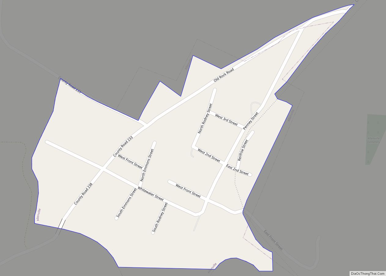
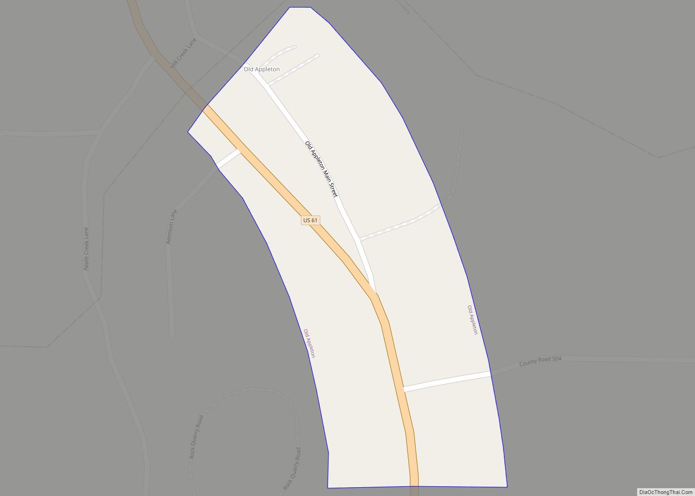
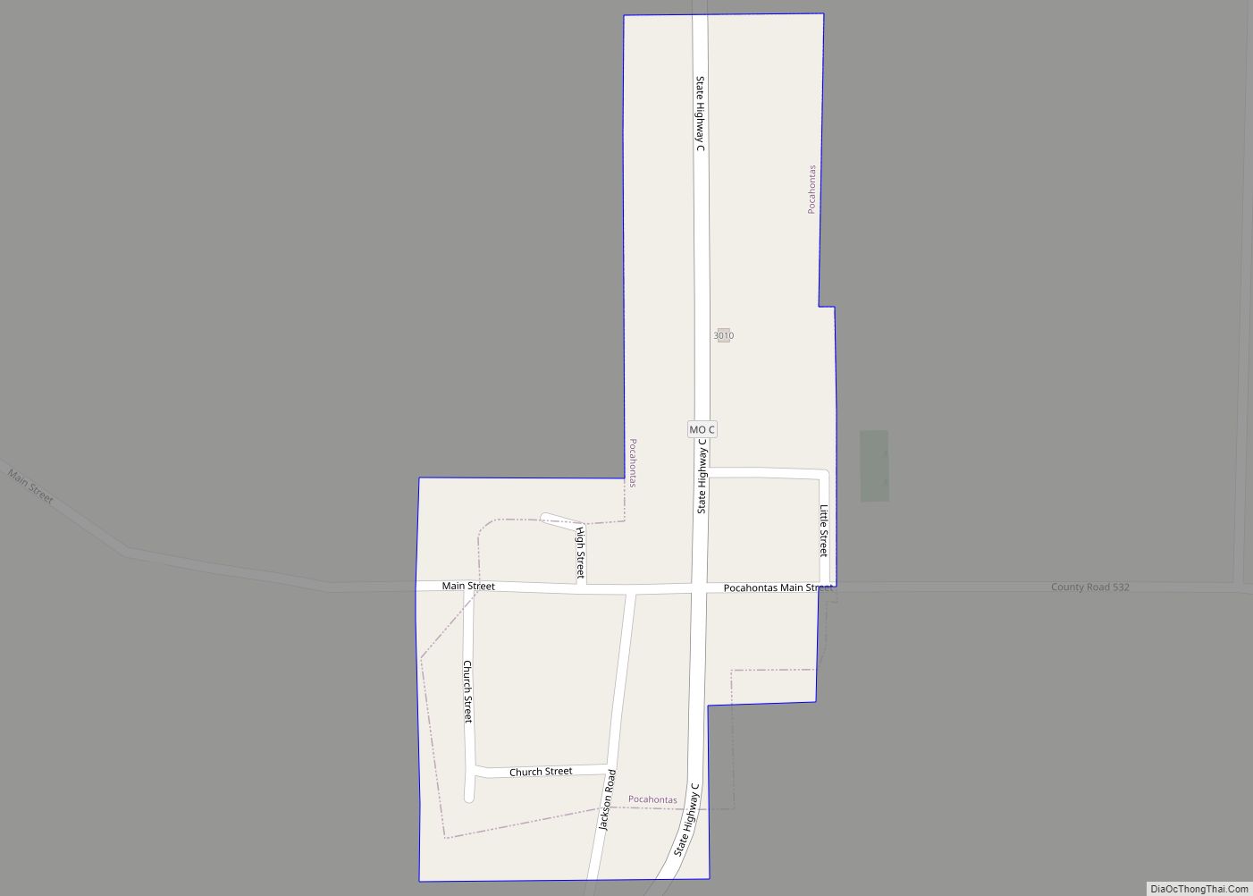
Online Interactive Map
Click on ![]() to view map in "full screen" mode.
to view map in "full screen" mode.
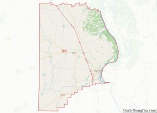
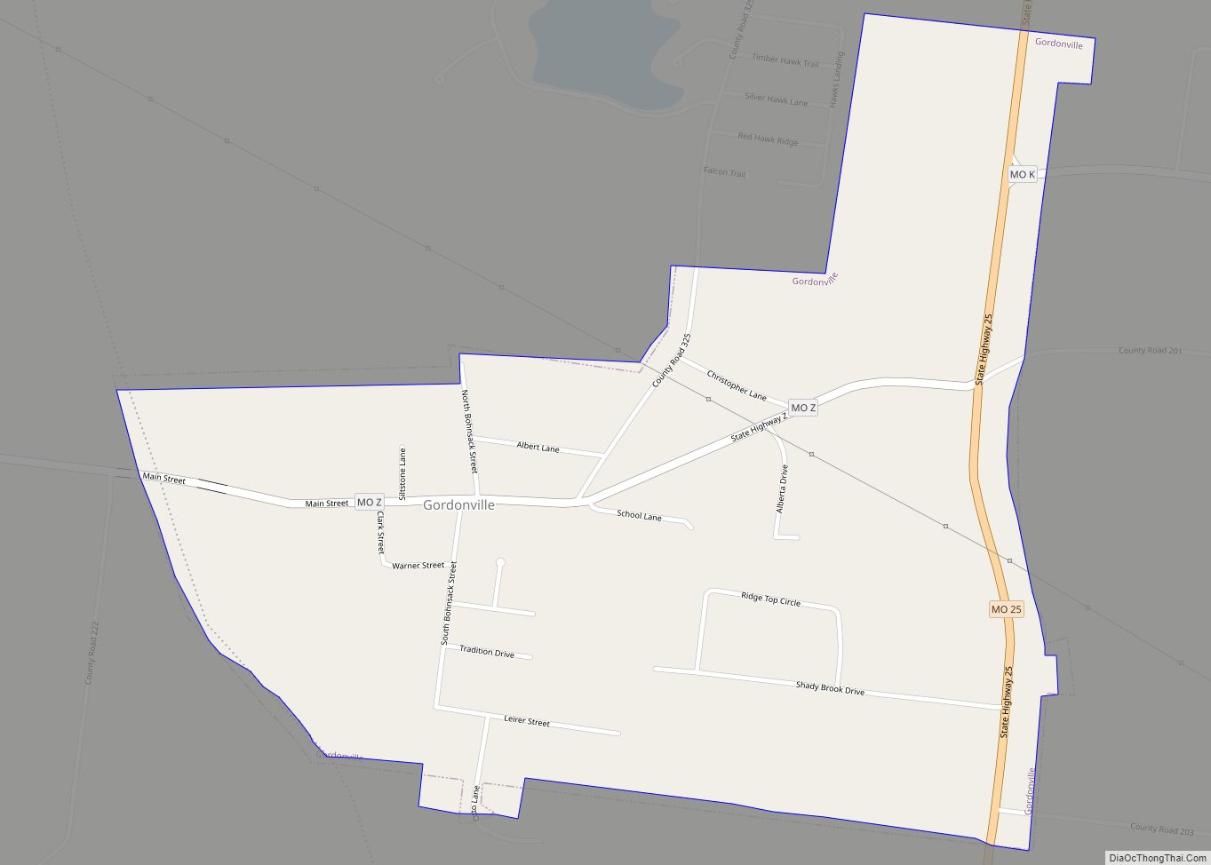
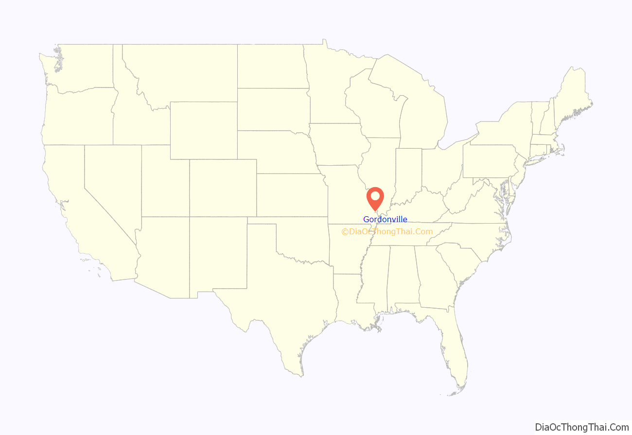
Gordonville location map. Where is Gordonville village?
History
The land around present-day Gordonville was originally owned by Sam Gordon and his father, who lived in Indiana. Sam Gordon established the first store in the town in either 1857 or 1858, and the town became known as Gordonville. The first church in the town was set up by Methodist missionaries on the farm of Louis Siemers in 1848, with Liberty School house being established shortly later. Hubble Mill and Gordonville Roller Mills were established along Hubble Creek.
In the 1850s, German immigrants began to move into the area and established farms around Gordonville. A German Methodist church and a German Lutheran church were also organized just south of Gordonville to serve the local German population.
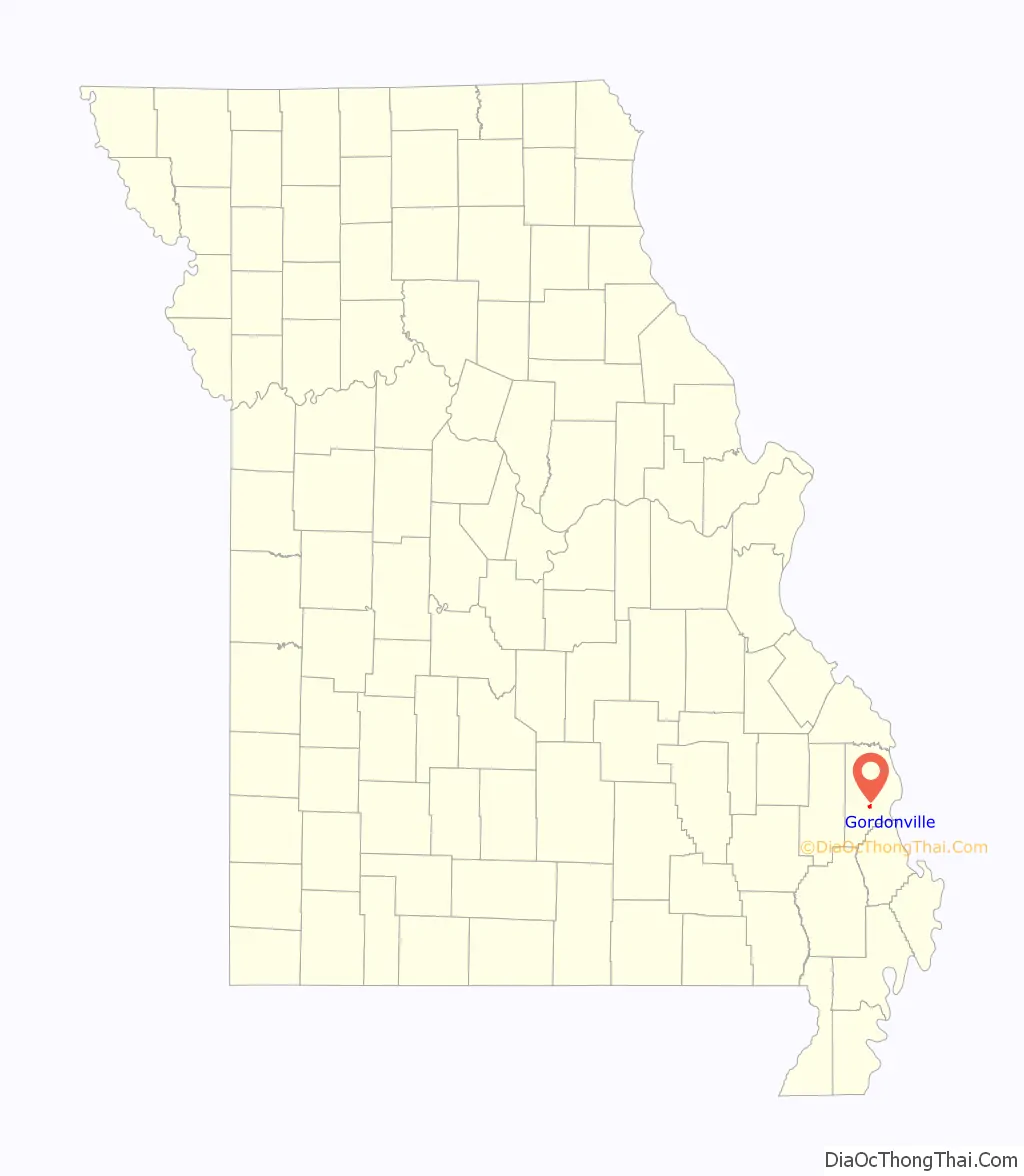
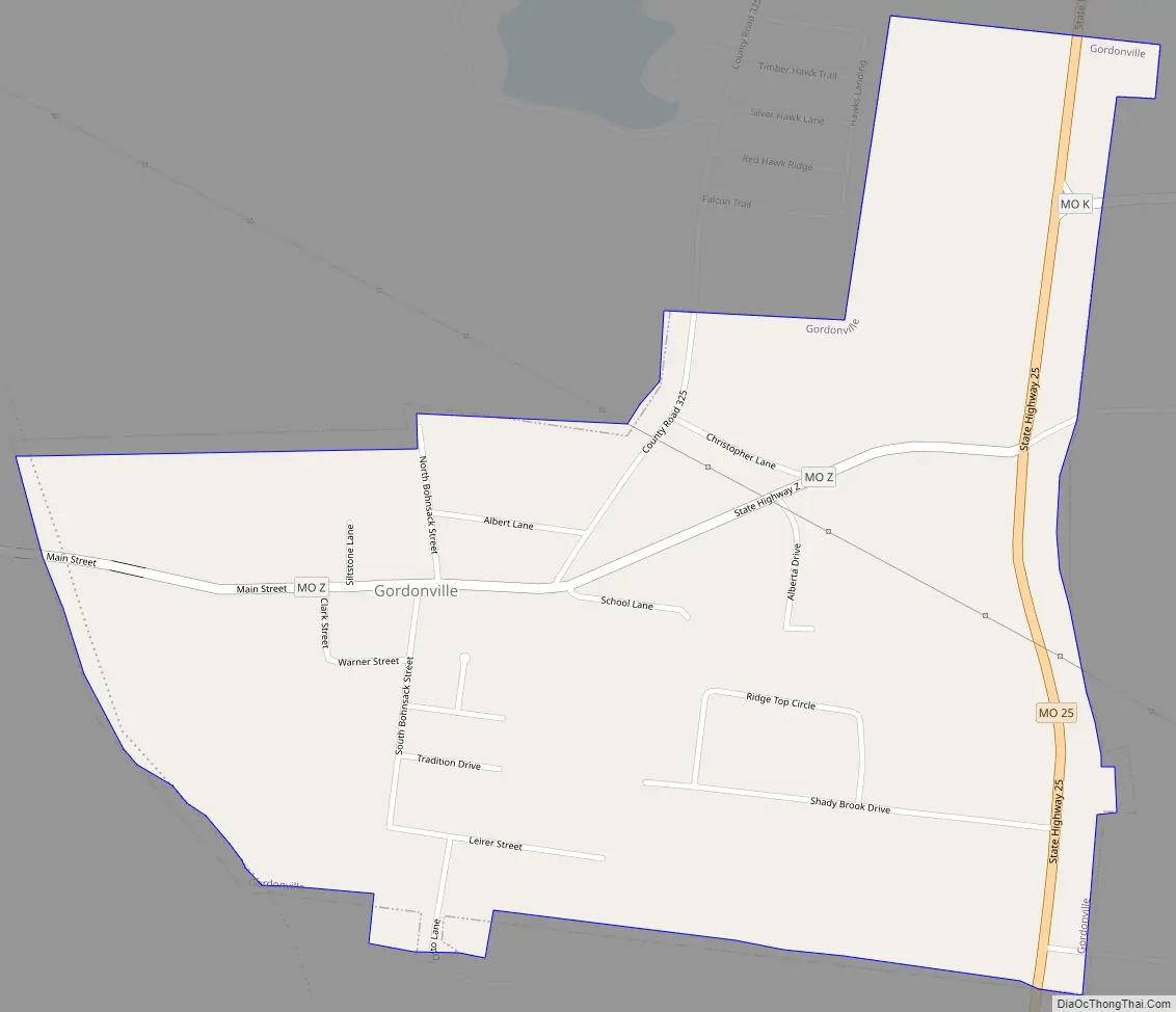
Gordonville Road Map
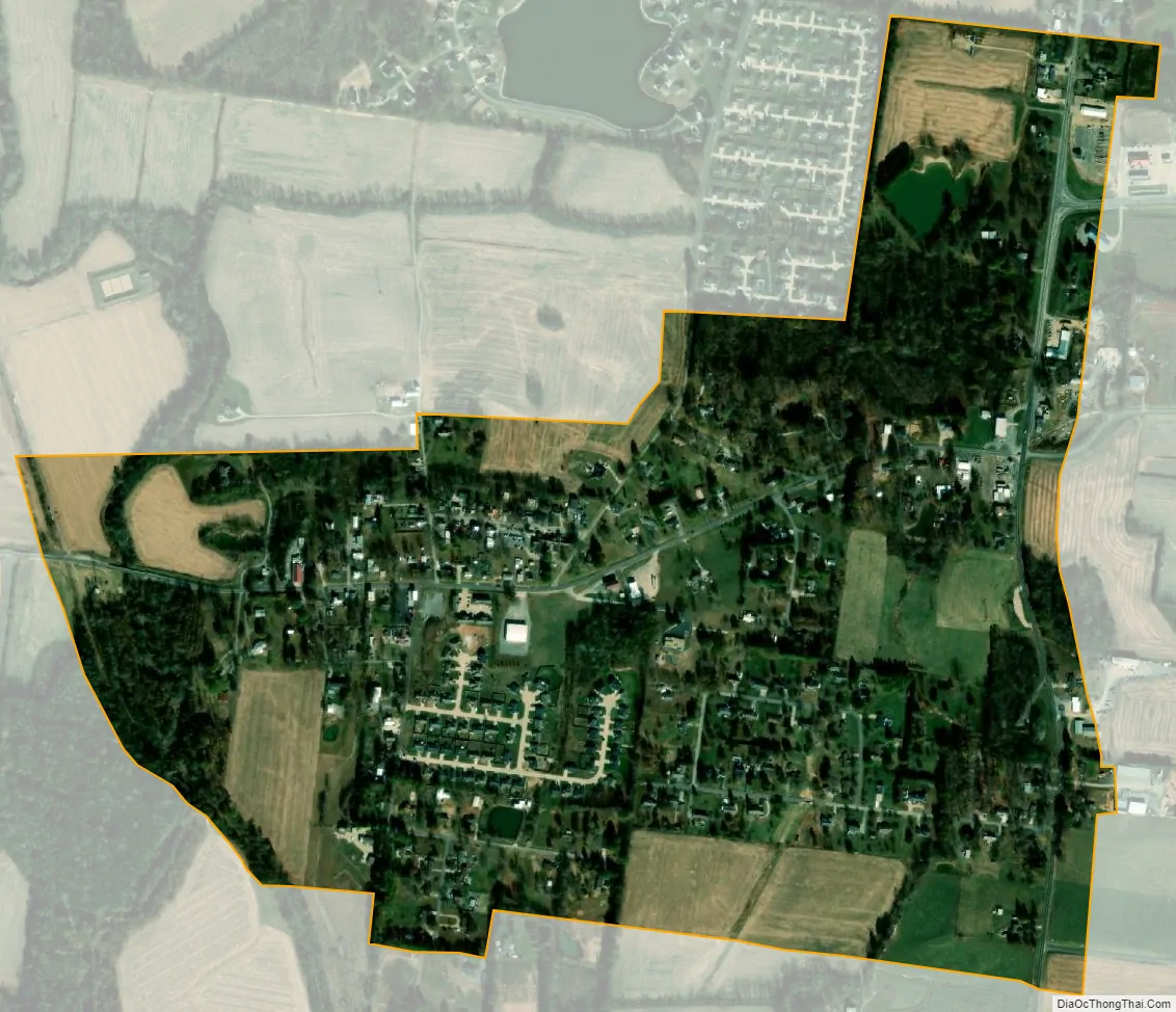
Gordonville city Satellite Map
Geography
Gordonville is located along Hubble Creek at 37°18′44″N 89°40′27″W / 37.31222°N 89.67417°W / 37.31222; -89.67417 (37.312237, -89.674245).
According to the United States Census Bureau, the village has a total area of 0.78 square miles (2.02 km), all land.
See also
Map of Missouri State and its subdivision:- Adair
- Andrew
- Atchison
- Audrain
- Barry
- Barton
- Bates
- Benton
- Bollinger
- Boone
- Buchanan
- Butler
- Caldwell
- Callaway
- Camden
- Cape Girardeau
- Carroll
- Carter
- Cass
- Cedar
- Chariton
- Christian
- Clark
- Clay
- Clinton
- Cole
- Cooper
- Crawford
- Dade
- Dallas
- Daviess
- De Kalb
- Dent
- Douglas
- Dunklin
- Franklin
- Gasconade
- Gentry
- Greene
- Grundy
- Harrison
- Henry
- Hickory
- Holt
- Howard
- Howell
- Iron
- Jackson
- Jasper
- Jefferson
- Johnson
- Knox
- Laclede
- Lafayette
- Lawrence
- Lewis
- Lincoln
- Linn
- Livingston
- Macon
- Madison
- Maries
- Marion
- McDonald
- Mercer
- Miller
- Mississippi
- Moniteau
- Monroe
- Montgomery
- Morgan
- New Madrid
- Newton
- Nodaway
- Oregon
- Osage
- Ozark
- Pemiscot
- Perry
- Pettis
- Phelps
- Pike
- Platte
- Polk
- Pulaski
- Putnam
- Ralls
- Randolph
- Ray
- Reynolds
- Ripley
- Saint Charles
- Saint Clair
- Saint Francois
- Saint Louis
- Sainte Genevieve
- Saline
- Schuyler
- Scotland
- Scott
- Shannon
- Shelby
- Stoddard
- Stone
- Sullivan
- Taney
- Texas
- Vernon
- Warren
- Washington
- Wayne
- Webster
- Worth
- Wright
- Alabama
- Alaska
- Arizona
- Arkansas
- California
- Colorado
- Connecticut
- Delaware
- District of Columbia
- Florida
- Georgia
- Hawaii
- Idaho
- Illinois
- Indiana
- Iowa
- Kansas
- Kentucky
- Louisiana
- Maine
- Maryland
- Massachusetts
- Michigan
- Minnesota
- Mississippi
- Missouri
- Montana
- Nebraska
- Nevada
- New Hampshire
- New Jersey
- New Mexico
- New York
- North Carolina
- North Dakota
- Ohio
- Oklahoma
- Oregon
- Pennsylvania
- Rhode Island
- South Carolina
- South Dakota
- Tennessee
- Texas
- Utah
- Vermont
- Virginia
- Washington
- West Virginia
- Wisconsin
- Wyoming