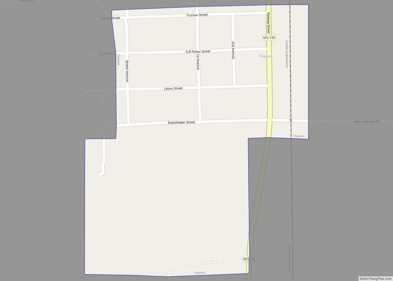
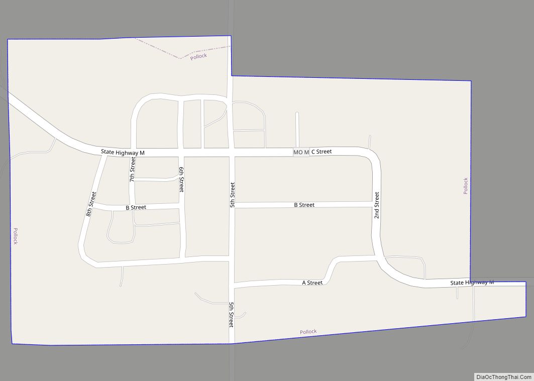
Green City is a city in northeast Sullivan County, Missouri, United States. The population was 657 at the 2010 census.
| Name: | Green City city |
|---|---|
| LSAD Code: | 25 |
| LSAD Description: | city (suffix) |
| State: | Missouri |
| County: | Sullivan County |
| Elevation: | 1,056 ft (322 m) |
| Total Area: | 1.46 sq mi (3.78 km²) |
| Land Area: | 1.43 sq mi (3.71 km²) |
| Water Area: | 0.03 sq mi (0.08 km²) |
| Total Population: | 602 |
| Population Density: | 420.68/sq mi (162.43/km²) |
| ZIP code: | 63545 |
| Area code: | 660 |
| FIPS code: | 2929134 |
| GNISfeature ID: | 2394975 |
Online Interactive Map
Click on ![]() to view map in "full screen" mode.
to view map in "full screen" mode.
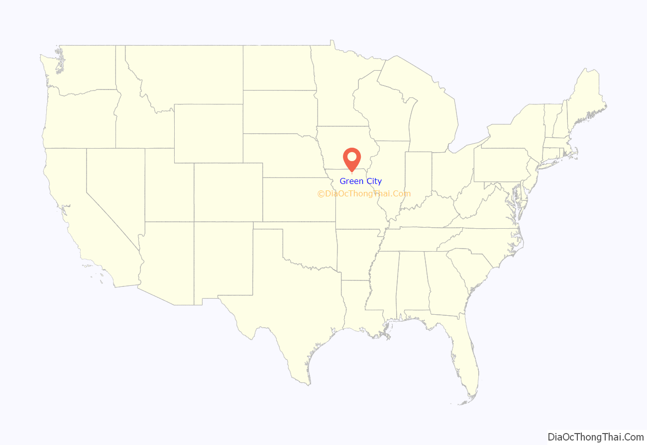
Green City location map. Where is Green City city?
History
Green City traces its beginnings to April, 1880 when Sullivan County farmer Henry Pfeiffer commissioned surveyor Thomas J. Dockery to lay out the town in what had previously been a cornfield. The town plat consisted of fifty lots, each 60-by-130 feet. The impetus for the town was the Quincy, Missouri & Pacific railway, which laid tracks close by in the early 1880s. A rail depot was built with donations from area farmers, and in 1881 C. B. Comstock built a store and warehouse. Around the same time a small frame building was moved from the nearby village of Kiddville by S.H. Davis who used it as a post office when he became Green City’s first postmaster. Green City was officially incorporated on February 10, 1882.
Green City, Missouri, is the site of Widmark Airport (FAA LID: MO83). Towns the size of Green City, whose population numbered only 688 inhabitants in 2000, usually do not have airports, but Richard Widmark owned a cattle ranch in the area during the 1950s and 1960s. Widmark contributed funds to the construction of an airport which led to its being named in his honor.
Green City Presbyterian Church and Green City Railroad Depot are listed on the National Register of Historic Places.
Notable events
- May 25, 1885 — Green City College is established. A large three-story brick building was constructed at a cost of $4,500 dollars. The first classes were held October 13, 1883 with thirteen students enrolled. By the end of the first term the number had increased to thirty-three, and the second years enrollment totaled eighty. A one-year college preparatory program comprising four terms was offered as well as a full four-year collegiate program.
- June 24, 1918 – A large tornado passed just to the north of Green City. The town proper was spared much damage, however seven people were killed and at least a dozen more injured in the rural areas near the town. Considerable property damage to rural homes and farms also resulted.
- November 5, 1931 — A large fire destroyed much of the east side of the Green City town square. A total of four buildings, housing at least six businesses and the City Hall, were a complete loss. The only building left standing was that which housed the Bank of Green City and the Green City Hotel.
- March 26, 1931 — Noted bank robber and “gangster” Fred “Killer” Burke was apprehended near Green City. He had been living there for some time under an assumed name.
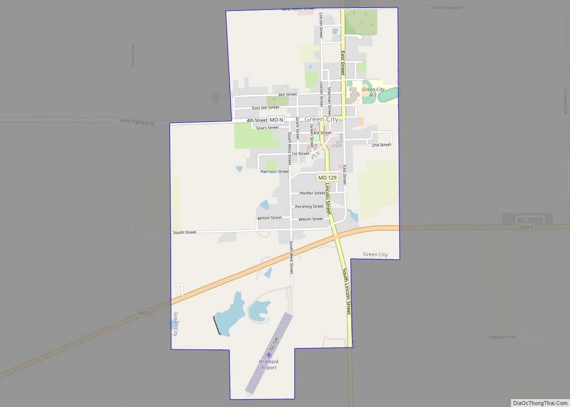
Green City Road Map
Green City city Satellite Map
Geography
The community is located on Missouri Route 129 one half mile north of Missouri Route 6 and ten miles northeast of Milan. Yellow Creek flows past two miles to the west and the Union Ridge Conservation Area on Spring Creek is two miles to the northeast.
According to the United States Census Bureau, the city has a total area of 1.46 square miles (3.78 km), of which 1.43 square miles (3.70 km) is land and 0.03 square miles (0.08 km) is water.
See also
Map of Missouri State and its subdivision:- Adair
- Andrew
- Atchison
- Audrain
- Barry
- Barton
- Bates
- Benton
- Bollinger
- Boone
- Buchanan
- Butler
- Caldwell
- Callaway
- Camden
- Cape Girardeau
- Carroll
- Carter
- Cass
- Cedar
- Chariton
- Christian
- Clark
- Clay
- Clinton
- Cole
- Cooper
- Crawford
- Dade
- Dallas
- Daviess
- De Kalb
- Dent
- Douglas
- Dunklin
- Franklin
- Gasconade
- Gentry
- Greene
- Grundy
- Harrison
- Henry
- Hickory
- Holt
- Howard
- Howell
- Iron
- Jackson
- Jasper
- Jefferson
- Johnson
- Knox
- Laclede
- Lafayette
- Lawrence
- Lewis
- Lincoln
- Linn
- Livingston
- Macon
- Madison
- Maries
- Marion
- McDonald
- Mercer
- Miller
- Mississippi
- Moniteau
- Monroe
- Montgomery
- Morgan
- New Madrid
- Newton
- Nodaway
- Oregon
- Osage
- Ozark
- Pemiscot
- Perry
- Pettis
- Phelps
- Pike
- Platte
- Polk
- Pulaski
- Putnam
- Ralls
- Randolph
- Ray
- Reynolds
- Ripley
- Saint Charles
- Saint Clair
- Saint Francois
- Saint Louis
- Sainte Genevieve
- Saline
- Schuyler
- Scotland
- Scott
- Shannon
- Shelby
- Stoddard
- Stone
- Sullivan
- Taney
- Texas
- Vernon
- Warren
- Washington
- Wayne
- Webster
- Worth
- Wright
- Alabama
- Alaska
- Arizona
- Arkansas
- California
- Colorado
- Connecticut
- Delaware
- District of Columbia
- Florida
- Georgia
- Hawaii
- Idaho
- Illinois
- Indiana
- Iowa
- Kansas
- Kentucky
- Louisiana
- Maine
- Maryland
- Massachusetts
- Michigan
- Minnesota
- Mississippi
- Missouri
- Montana
- Nebraska
- Nevada
- New Hampshire
- New Jersey
- New Mexico
- New York
- North Carolina
- North Dakota
- Ohio
- Oklahoma
- Oregon
- Pennsylvania
- Rhode Island
- South Carolina
- South Dakota
- Tennessee
- Texas
- Utah
- Vermont
- Virginia
- Washington
- West Virginia
- Wisconsin
- Wyoming
