Greenwood is a city in Jackson and Cass counties in the U.S. state of Missouri. The population was 5,221 at the 2010 census. It is part of the Kansas City metropolitan area.
| Name: | Greenwood city |
|---|---|
| LSAD Code: | 25 |
| LSAD Description: | city (suffix) |
| State: | Missouri |
| County: | Jackson County |
| Founded: | 1867 |
| Elevation: | 915 ft (279 m) |
| Total Area: | 5.23 sq mi (13.54 km²) |
| Land Area: | 5.22 sq mi (13.51 km²) |
| Water Area: | 0.01 sq mi (0.03 km²) |
| Total Population: | 6,021 |
| Population Density: | 1,153.89/sq mi (445.56/km²) |
| ZIP code: | 64034 |
| Area code: | 816 |
| FIPS code: | 2929494 |
| GNISfeature ID: | 2394246 |
| Website: | www.greenwoodmo.com |
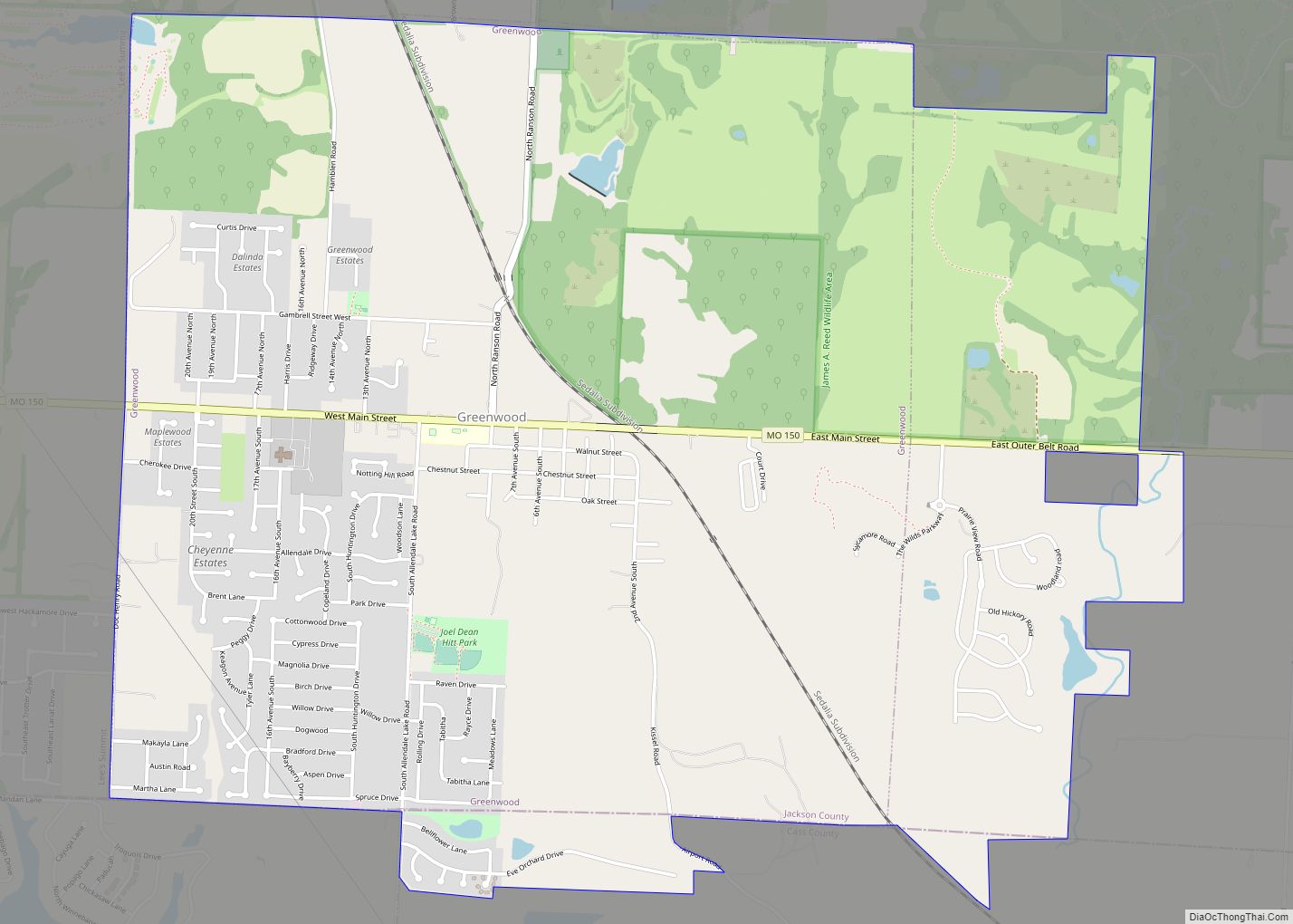
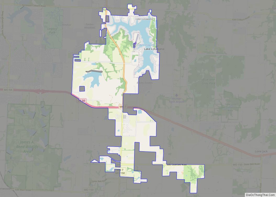
Online Interactive Map
Click on ![]() to view map in "full screen" mode.
to view map in "full screen" mode.
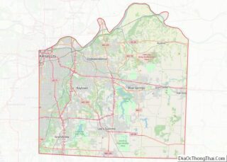
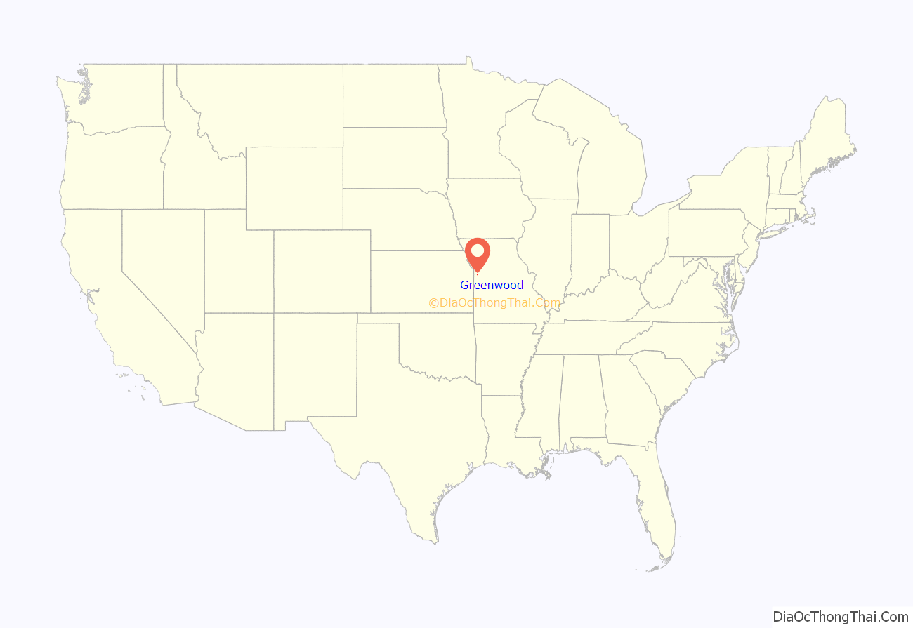
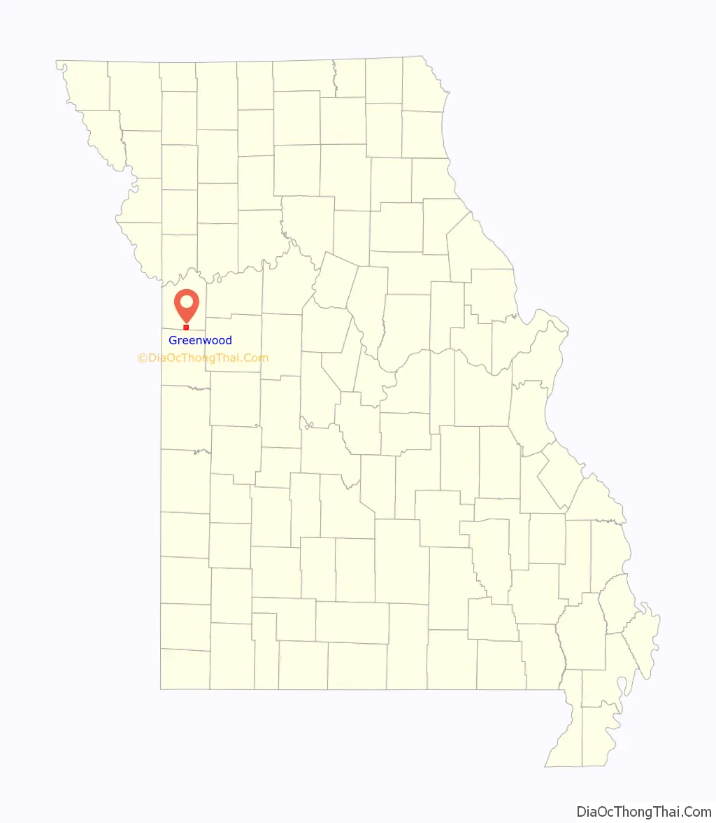
Greenwood location map. Where is Greenwood city?
History
Greenwood was laid out in 1867. A post office called Greenwood has been in operation since 1866. The city was incorporated in 1963.
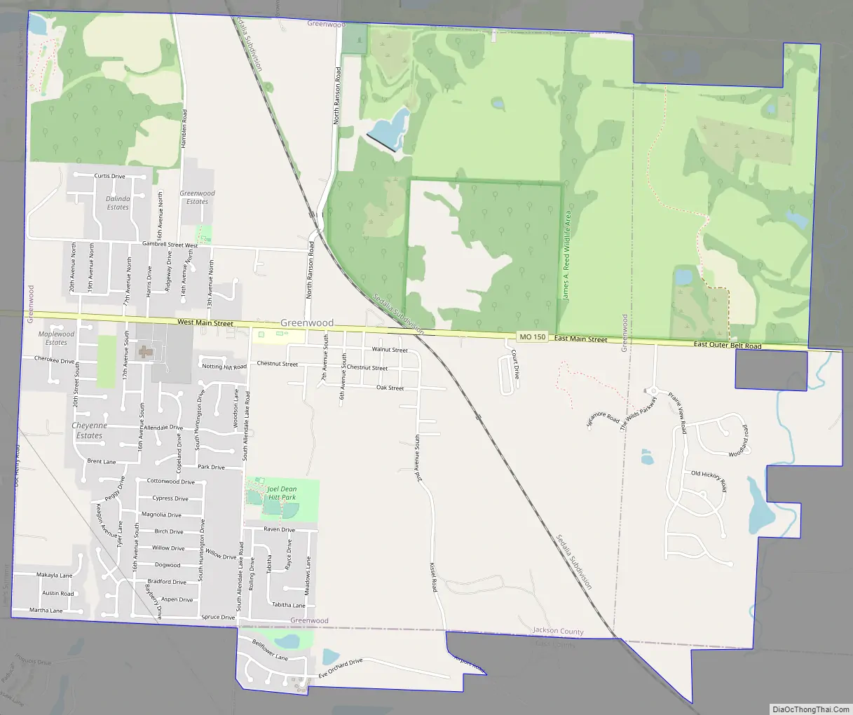
Greenwood Road Map
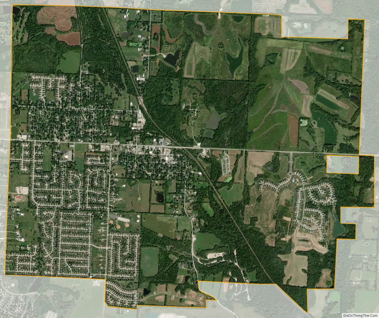
Greenwood city Satellite Map
Geography
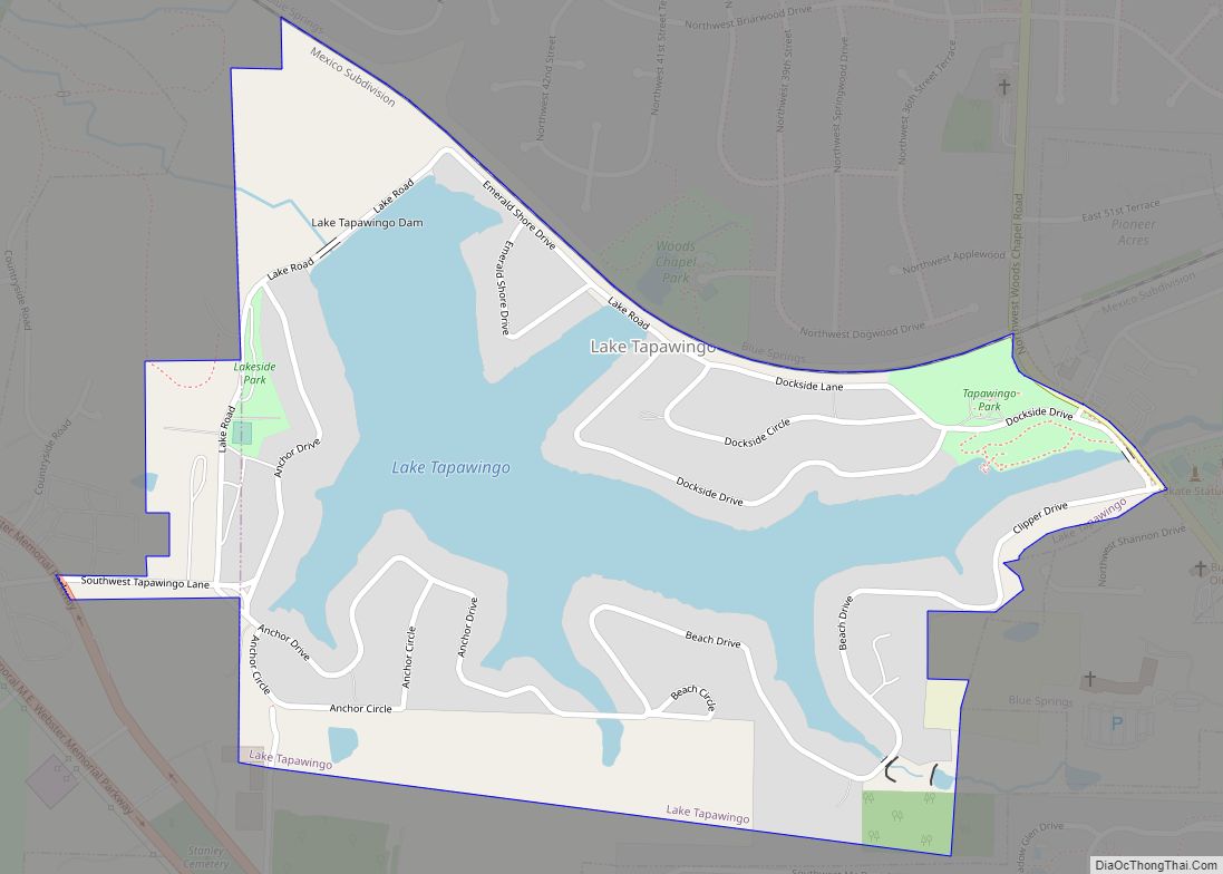
According to the United States Census Bureau, the city has a total area of 3.97 square miles (10.28 km), all land. The town has a small creek running through it in the southwest. The area that constitutes Greenwood is mainly lightly wooded and open fields northeast of its rail line, along with several small ponds. The area southwest of the rail line is mostly suburban, featuring housing along with a small downtown area.
See also
Map of Missouri State and its subdivision:- Adair
- Andrew
- Atchison
- Audrain
- Barry
- Barton
- Bates
- Benton
- Bollinger
- Boone
- Buchanan
- Butler
- Caldwell
- Callaway
- Camden
- Cape Girardeau
- Carroll
- Carter
- Cass
- Cedar
- Chariton
- Christian
- Clark
- Clay
- Clinton
- Cole
- Cooper
- Crawford
- Dade
- Dallas
- Daviess
- De Kalb
- Dent
- Douglas
- Dunklin
- Franklin
- Gasconade
- Gentry
- Greene
- Grundy
- Harrison
- Henry
- Hickory
- Holt
- Howard
- Howell
- Iron
- Jackson
- Jasper
- Jefferson
- Johnson
- Knox
- Laclede
- Lafayette
- Lawrence
- Lewis
- Lincoln
- Linn
- Livingston
- Macon
- Madison
- Maries
- Marion
- McDonald
- Mercer
- Miller
- Mississippi
- Moniteau
- Monroe
- Montgomery
- Morgan
- New Madrid
- Newton
- Nodaway
- Oregon
- Osage
- Ozark
- Pemiscot
- Perry
- Pettis
- Phelps
- Pike
- Platte
- Polk
- Pulaski
- Putnam
- Ralls
- Randolph
- Ray
- Reynolds
- Ripley
- Saint Charles
- Saint Clair
- Saint Francois
- Saint Louis
- Sainte Genevieve
- Saline
- Schuyler
- Scotland
- Scott
- Shannon
- Shelby
- Stoddard
- Stone
- Sullivan
- Taney
- Texas
- Vernon
- Warren
- Washington
- Wayne
- Webster
- Worth
- Wright
- Alabama
- Alaska
- Arizona
- Arkansas
- California
- Colorado
- Connecticut
- Delaware
- District of Columbia
- Florida
- Georgia
- Hawaii
- Idaho
- Illinois
- Indiana
- Iowa
- Kansas
- Kentucky
- Louisiana
- Maine
- Maryland
- Massachusetts
- Michigan
- Minnesota
- Mississippi
- Missouri
- Montana
- Nebraska
- Nevada
- New Hampshire
- New Jersey
- New Mexico
- New York
- North Carolina
- North Dakota
- Ohio
- Oklahoma
- Oregon
- Pennsylvania
- Rhode Island
- South Carolina
- South Dakota
- Tennessee
- Texas
- Utah
- Vermont
- Virginia
- Washington
- West Virginia
- Wisconsin
- Wyoming