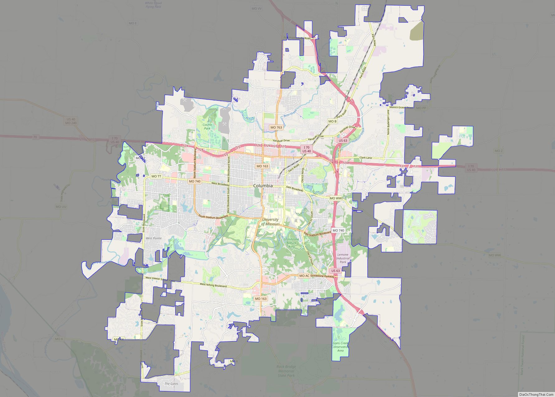
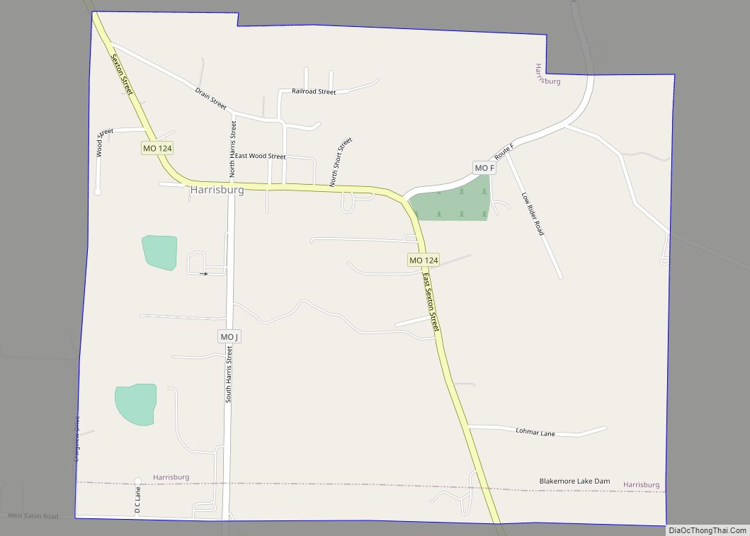
Harrisburg is a village in western Boone County, Missouri, United States. It is part of the Columbia, Missouri Metropolitan Statistical Area. The population was 266 at the 2010 census.
| Name: | Harrisburg town |
|---|---|
| LSAD Code: | 43 |
| LSAD Description: | town (suffix) |
| State: | Missouri |
| County: | Boone County |
| Elevation: | 817 ft (249 m) |
| Total Area: | 0.80 sq mi (2.08 km²) |
| Land Area: | 0.80 sq mi (2.06 km²) |
| Water Area: | 0.01 sq mi (0.02 km²) |
| Total Population: | 271 |
| Population Density: | 340.45/sq mi (131.38/km²) |
| ZIP code: | 65256 |
| Area code: | 573 |
| FIPS code: | 2930484 |
| GNISfeature ID: | 2396988 |
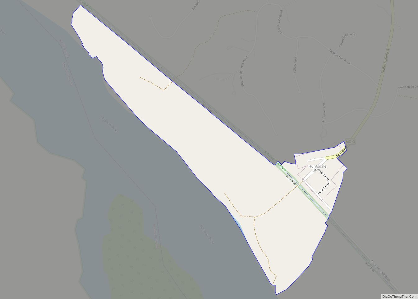
Online Interactive Map
Click on ![]() to view map in "full screen" mode.
to view map in "full screen" mode.
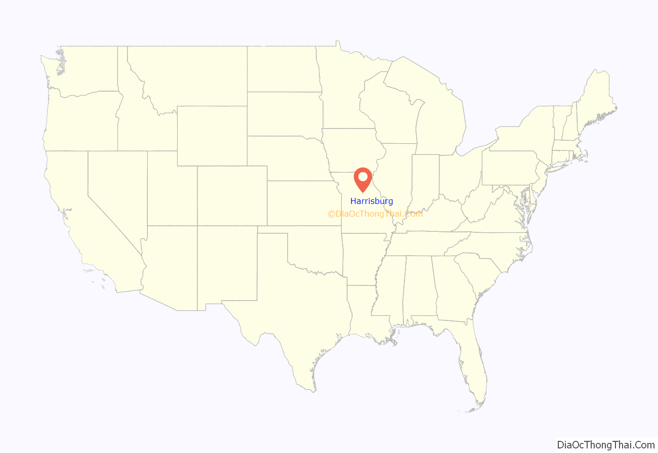
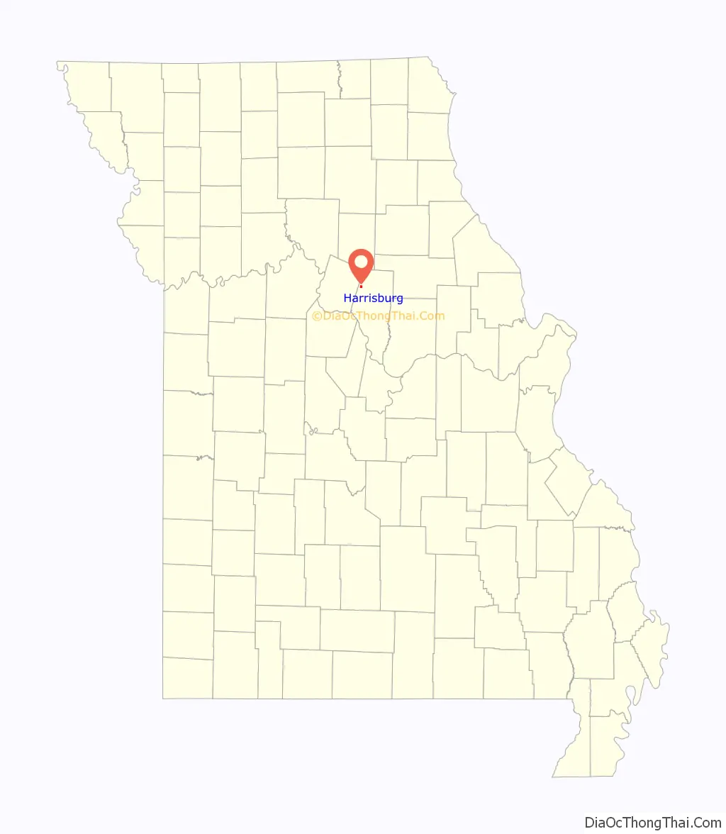
Harrisburg location map. Where is Harrisburg town?
History
Harrisburg was named for John W. Harris, who inherited the Model Farm on what was Thrall’s Prairie, the first permanent settlement in the county. The town was laid out on the survey line of the prospective Louisiana and Missouri River Railroad which was later leased to Chicago and Alton Railroad. The line was graded and prepared, but was abandoned for a line farther north. The proposed line can be seen on the 1969 USGS topographic map of Harrisburg. According to Colonel W. F. Switzler, in 1882, there were a post office, three stores, a confectionary shop, a church, a mill, a blacksmith shop, and the historic school building with the Masonic lodge above. The post office was located in the saddle shop. Reverend Green Carey preached at the Bethlehem Baptist church a few miles south of Harrisburg for fifty years and claimed to have joined more than five hundred couples in marriage.
The first church building in town belonged to the Harrisburg Christian congregation. It was built in 1872 of local stone and donated wood. In 1880, the official record counted sixty seven members. In 1980, the hundred-year-old building was demolished and a new building took its place. The Baptist church is a part of the Southern Baptist Convention. The old church building, built in 1887, is still in use. In 1961, the two congregations were regularly trading Sundays.
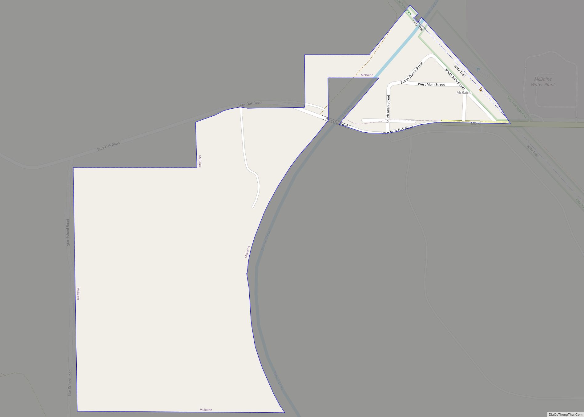
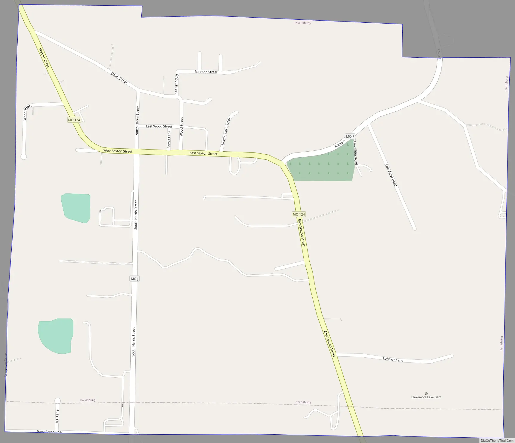
Harrisburg Road Map
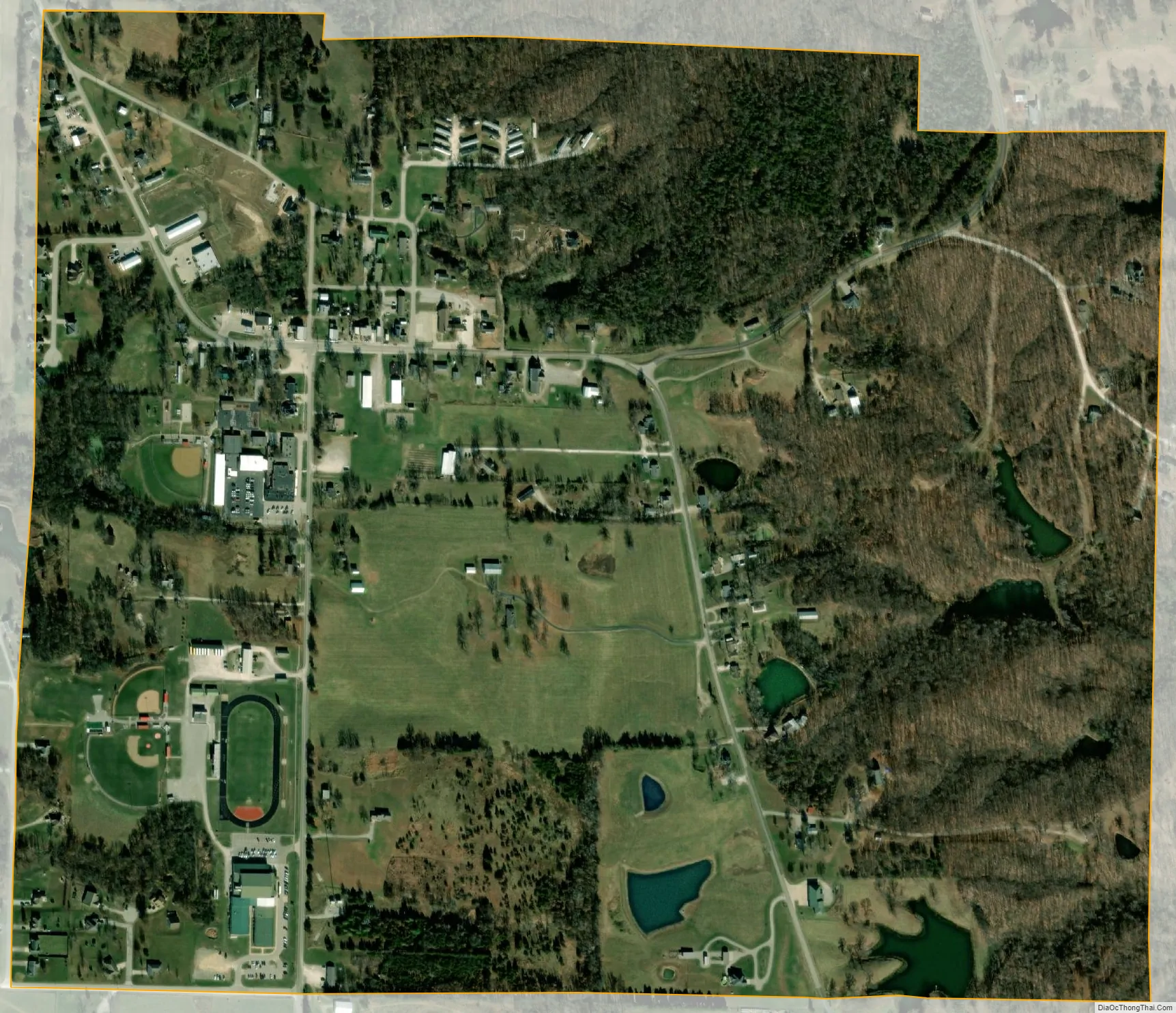
Harrisburg city Satellite Map
Geography
Harrisburg is located on Missouri Route 124 about one mile from the Boone-Howard county line. Fayette is about eleven miles to the west and U.S. Route 63 is about seven miles to the east along route 124. Perche Creek flows past two miles east of the community.
According to the United States Census Bureau, the village has a total area of 0.76 square miles (1.97 km), of which 0.75 square miles (1.94 km) is land and 0.01 square miles (0.03 km) is water. The town is located between the Moniteau and Perche watersheds. The Prairie fork of the Moniteau heads towards Harrisburg, as does the Callaham fork of Perche Creek.
See also
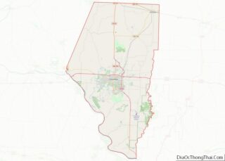
Map of Missouri State and its subdivision:- Adair
- Andrew
- Atchison
- Audrain
- Barry
- Barton
- Bates
- Benton
- Bollinger
- Boone
- Buchanan
- Butler
- Caldwell
- Callaway
- Camden
- Cape Girardeau
- Carroll
- Carter
- Cass
- Cedar
- Chariton
- Christian
- Clark
- Clay
- Clinton
- Cole
- Cooper
- Crawford
- Dade
- Dallas
- Daviess
- De Kalb
- Dent
- Douglas
- Dunklin
- Franklin
- Gasconade
- Gentry
- Greene
- Grundy
- Harrison
- Henry
- Hickory
- Holt
- Howard
- Howell
- Iron
- Jackson
- Jasper
- Jefferson
- Johnson
- Knox
- Laclede
- Lafayette
- Lawrence
- Lewis
- Lincoln
- Linn
- Livingston
- Macon
- Madison
- Maries
- Marion
- McDonald
- Mercer
- Miller
- Mississippi
- Moniteau
- Monroe
- Montgomery
- Morgan
- New Madrid
- Newton
- Nodaway
- Oregon
- Osage
- Ozark
- Pemiscot
- Perry
- Pettis
- Phelps
- Pike
- Platte
- Polk
- Pulaski
- Putnam
- Ralls
- Randolph
- Ray
- Reynolds
- Ripley
- Saint Charles
- Saint Clair
- Saint Francois
- Saint Louis
- Sainte Genevieve
- Saline
- Schuyler
- Scotland
- Scott
- Shannon
- Shelby
- Stoddard
- Stone
- Sullivan
- Taney
- Texas
- Vernon
- Warren
- Washington
- Wayne
- Webster
- Worth
- Wright
- Alabama
- Alaska
- Arizona
- Arkansas
- California
- Colorado
- Connecticut
- Delaware
- District of Columbia
- Florida
- Georgia
- Hawaii
- Idaho
- Illinois
- Indiana
- Iowa
- Kansas
- Kentucky
- Louisiana
- Maine
- Maryland
- Massachusetts
- Michigan
- Minnesota
- Mississippi
- Missouri
- Montana
- Nebraska
- Nevada
- New Hampshire
- New Jersey
- New Mexico
- New York
- North Carolina
- North Dakota
- Ohio
- Oklahoma
- Oregon
- Pennsylvania
- Rhode Island
- South Carolina
- South Dakota
- Tennessee
- Texas
- Utah
- Vermont
- Virginia
- Washington
- West Virginia
- Wisconsin
- Wyoming