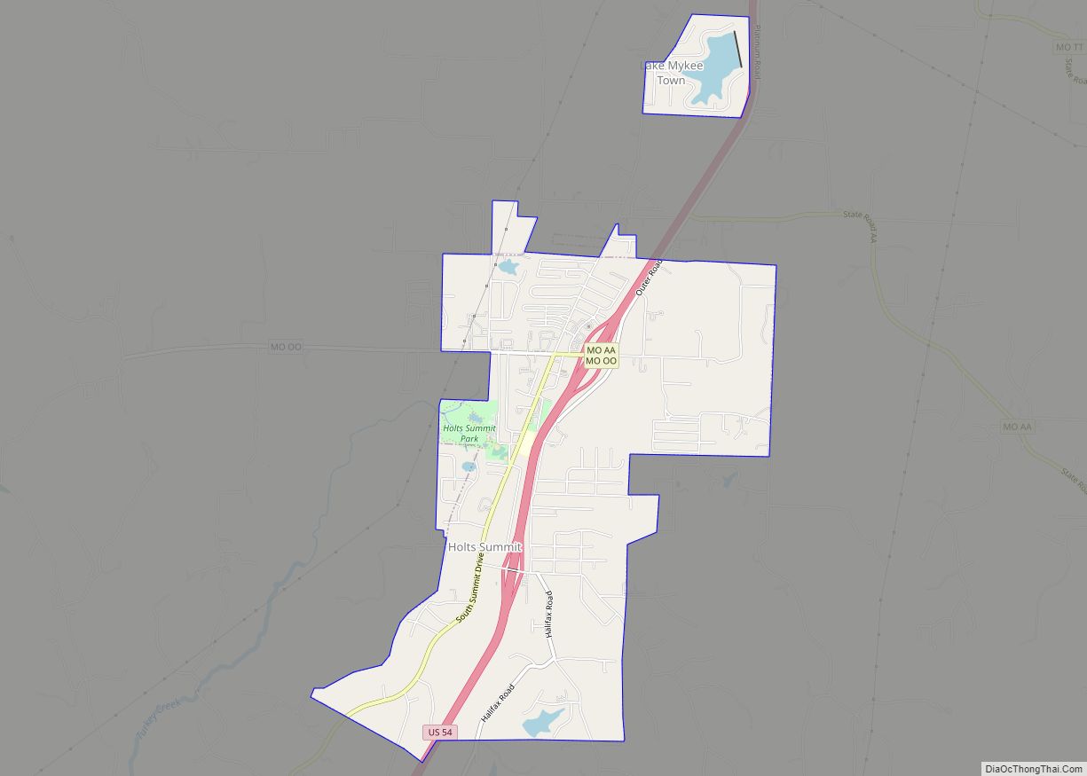
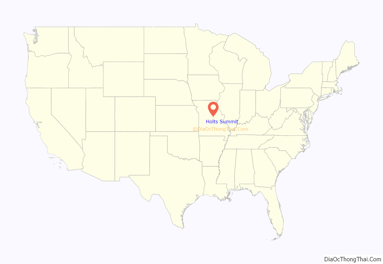
Holts Summit is a small city in Callaway County, Missouri. The population was 3,247 at the time of the 2010 census. Holts Summit is located 7 miles (11 km) northeast of Jefferson City, Missouri’s state capital. It is part of the Jefferson City Metropolitan Area.
| Name: | Holts Summit city |
|---|---|
| LSAD Code: | 25 |
| LSAD Description: | city (suffix) |
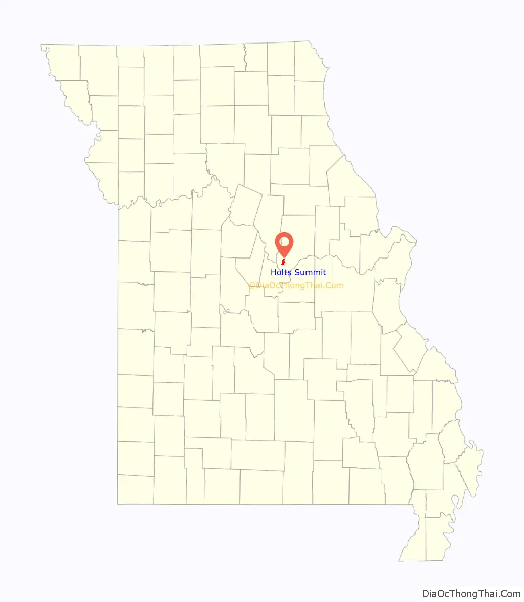
| State: | Missouri |
| County: | Callaway County |
| Incorporated: | 1973 |
| Elevation: | 804 ft (245 m) |
| Total Area: | 3.81 sq mi (9.86 km²) |
| Land Area: | 3.71 sq mi (9.60 km²) |
| Water Area: | 0.10 sq mi (0.26 km²) |
| Total Population: | 4,458 |
| Population Density: | 1,203.24/sq mi (464.55/km²) |
| ZIP code: | 65043 |
| Area code: | 573 |
| FIPS code: | 2932770 |
| GNISfeature ID: | 2394409 |
| Website: | holtssummit.org |
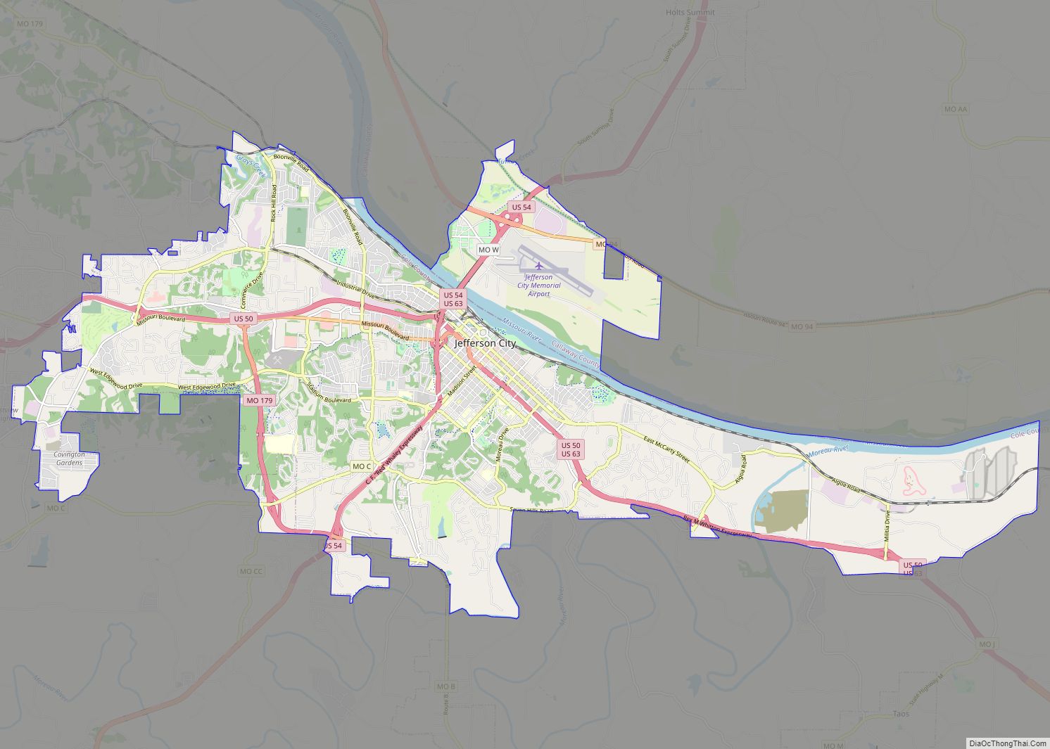
Online Interactive Map
Click on ![]() to view map in "full screen" mode.
to view map in "full screen" mode.
Holts Summit location map. Where is Holts Summit city?
History
Most of the pioneers in the early settlements were from the state of Virginia. One among them was Abner Holt who with his family traveled to Howard County, Missouri, in 1819. They settled there for the winter. The men built a house in Callaway County in the unnamed community now known as Holts Summit, and the family settled in during the spring.
In 1870, Holt’s grandson, Timothy Holt, plotted Holts Summit around a general store built by his father James Holt. They named the village “Holts Summit” because it was the highest point from there to the Missouri River.
“Hibernia Station” was once located across from where North School is now located. The train carried travelers between Hibernia and Holts Summit. Because of declining traffic as autos became more popular, the train depot was torn down in 1934.
Holts Summit was incorporated in 1973.
In the 1960s and 1970s, winemakers began to rebuild the Missouri wine industry. Summit Lake Winery was founded in 2002 in Holts Summit, linking the town to what is called the Missouri Rhineland, the area defined by vineyards along the Missouri River from Callaway County to the western part of St. Charles County.
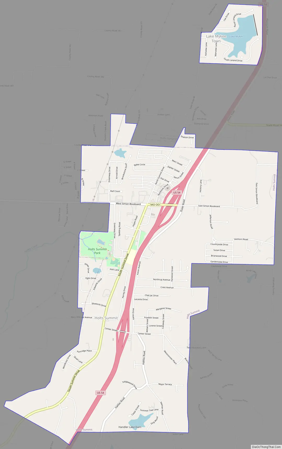
Holts Summit Road Map
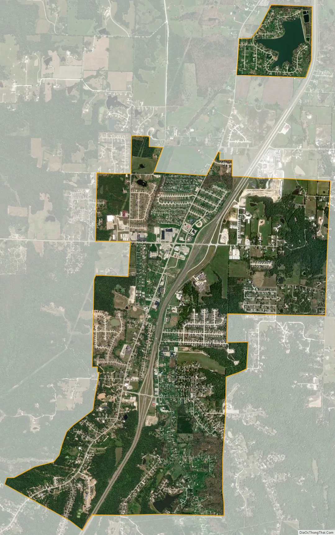
Holts Summit city Satellite Map
Geography
Holts Summit is located at 38°38′55″N 92°7′1″W / 38.64861°N 92.11694°W / 38.64861; -92.11694 (38.648569, -92.116831).
According to the United States Census Bureau, the city has a total area of 3.49 square miles (9.04 km), of which 3.44 square miles (8.91 km) is land and 0.05 square miles (0.13 km) is water.
See also
Map of Missouri State and its subdivision:- Adair
- Andrew
- Atchison
- Audrain
- Barry
- Barton
- Bates
- Benton
- Bollinger
- Boone
- Buchanan
- Butler
- Caldwell
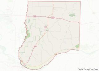
- Callaway
- Camden
- Cape Girardeau
- Carroll
- Carter
- Cass
- Cedar
- Chariton
- Christian
- Clark
- Clay
- Clinton
- Cole
- Cooper
- Crawford
- Dade
- Dallas
- Daviess
- De Kalb
- Dent
- Douglas
- Dunklin
- Franklin
- Gasconade
- Gentry
- Greene
- Grundy
- Harrison
- Henry
- Hickory
- Holt
- Howard
- Howell
- Iron
- Jackson
- Jasper
- Jefferson
- Johnson
- Knox
- Laclede
- Lafayette
- Lawrence
- Lewis
- Lincoln
- Linn
- Livingston
- Macon
- Madison
- Maries
- Marion
- McDonald
- Mercer
- Miller
- Mississippi
- Moniteau
- Monroe
- Montgomery
- Morgan
- New Madrid
- Newton
- Nodaway
- Oregon
- Osage
- Ozark
- Pemiscot
- Perry
- Pettis
- Phelps
- Pike
- Platte
- Polk
- Pulaski
- Putnam
- Ralls
- Randolph
- Ray
- Reynolds
- Ripley
- Saint Charles
- Saint Clair
- Saint Francois
- Saint Louis
- Sainte Genevieve
- Saline
- Schuyler
- Scotland
- Scott
- Shannon
- Shelby
- Stoddard
- Stone
- Sullivan
- Taney
- Texas
- Vernon
- Warren
- Washington
- Wayne
- Webster
- Worth
- Wright
- Alabama
- Alaska
- Arizona
- Arkansas
- California
- Colorado
- Connecticut
- Delaware
- District of Columbia
- Florida
- Georgia
- Hawaii
- Idaho
- Illinois
- Indiana
- Iowa
- Kansas
- Kentucky
- Louisiana
- Maine
- Maryland
- Massachusetts
- Michigan
- Minnesota
- Mississippi
- Missouri
- Montana
- Nebraska
- Nevada
- New Hampshire
- New Jersey
- New Mexico
- New York
- North Carolina
- North Dakota
- Ohio
- Oklahoma
- Oregon
- Pennsylvania
- Rhode Island
- South Carolina
- South Dakota
- Tennessee
- Texas
- Utah
- Vermont
- Virginia
- Washington
- West Virginia
- Wisconsin
- Wyoming