Fulton is the largest city in and the county seat of Callaway County, Missouri, United States. Located about 22 miles (35 km) northeast of Jefferson City and the Missouri River and 20 miles (32 km) east of Columbia, the city is part of the Jefferson City, Missouri, Metropolitan Statistical Area. The population was 12,790 in the 2010 census. The city is home to two universities, Westminster College and William Woods University; the Missouri School for the Deaf; the Fulton State Hospital; and the Fulton Reception and Diagnostic Center state prison. Missouri’s only nuclear power plant, the Callaway Plant is located 13 miles southeast of Fulton.
| Name: | Fulton city |
|---|---|
| LSAD Code: | 25 |
| LSAD Description: | city (suffix) |
| State: | Missouri |
| County: | Callaway County |
| Founded: | 1825 |
| Incorporated: | March 14, 1859 |
| Elevation: | 801 ft (244 m) |
| Total Area: | 12.46 sq mi (32.28 km²) |
| Land Area: | 12.33 sq mi (31.93 km²) |
| Water Area: | 0.14 sq mi (0.35 km²) |
| Total Population: | 12,600 |
| Population Density: | 1,021.98/sq mi (394.59/km²) |
| ZIP code: | 65251 |
| Area code: | 573 |
| FIPS code: | 2926182 |
| GNISfeature ID: | 2394834 |
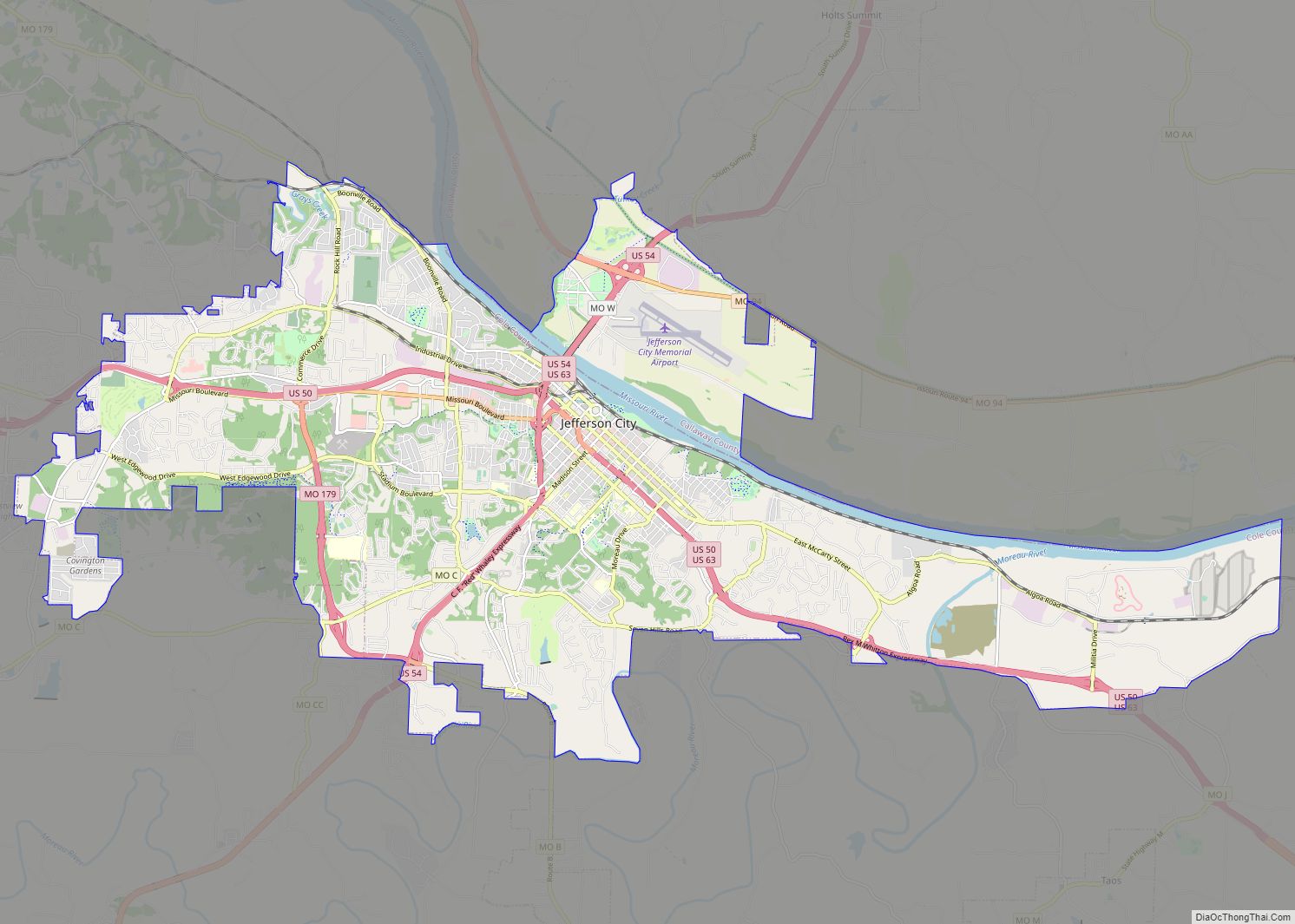
Online Interactive Map
Click on ![]() to view map in "full screen" mode.
to view map in "full screen" mode.
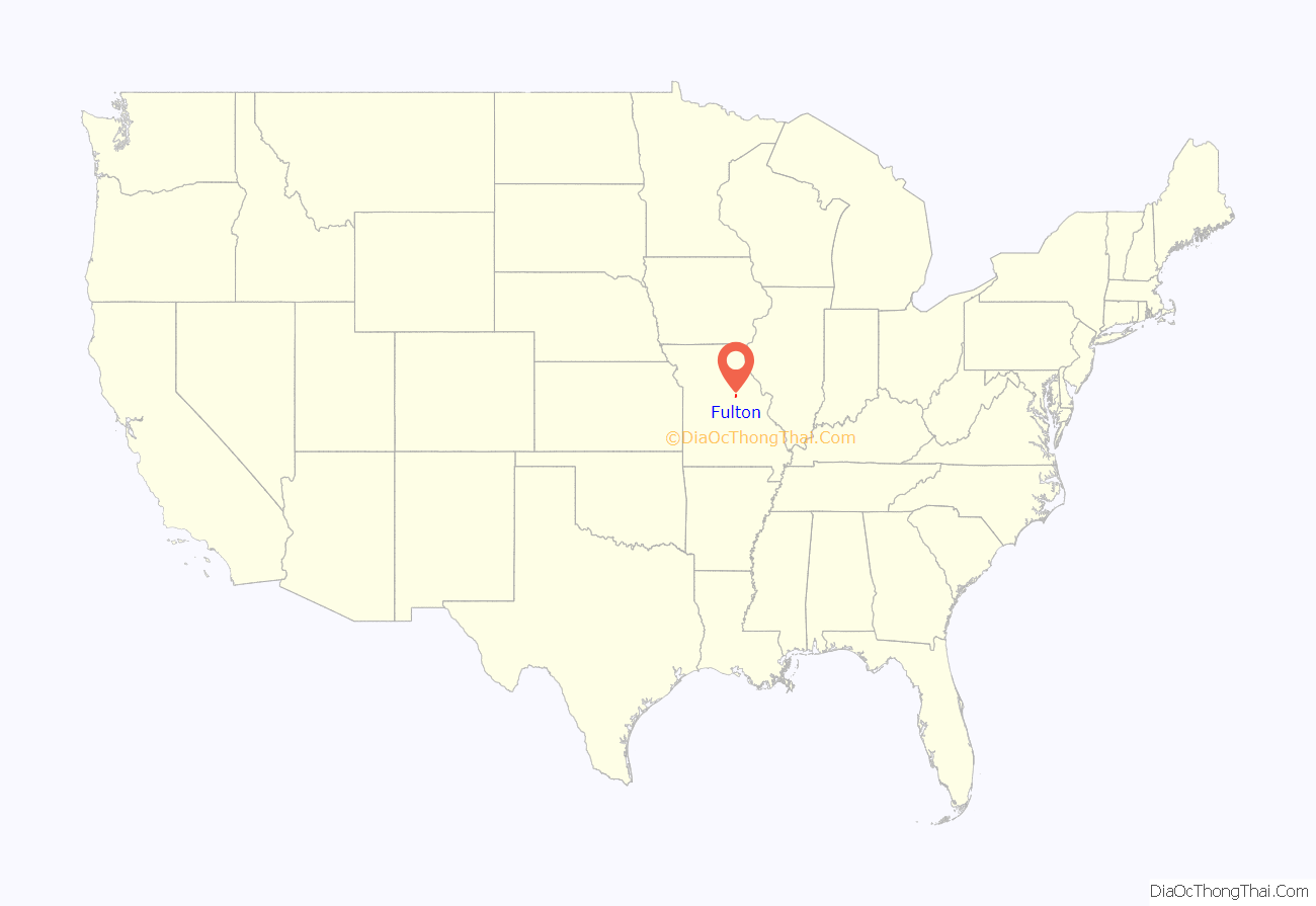
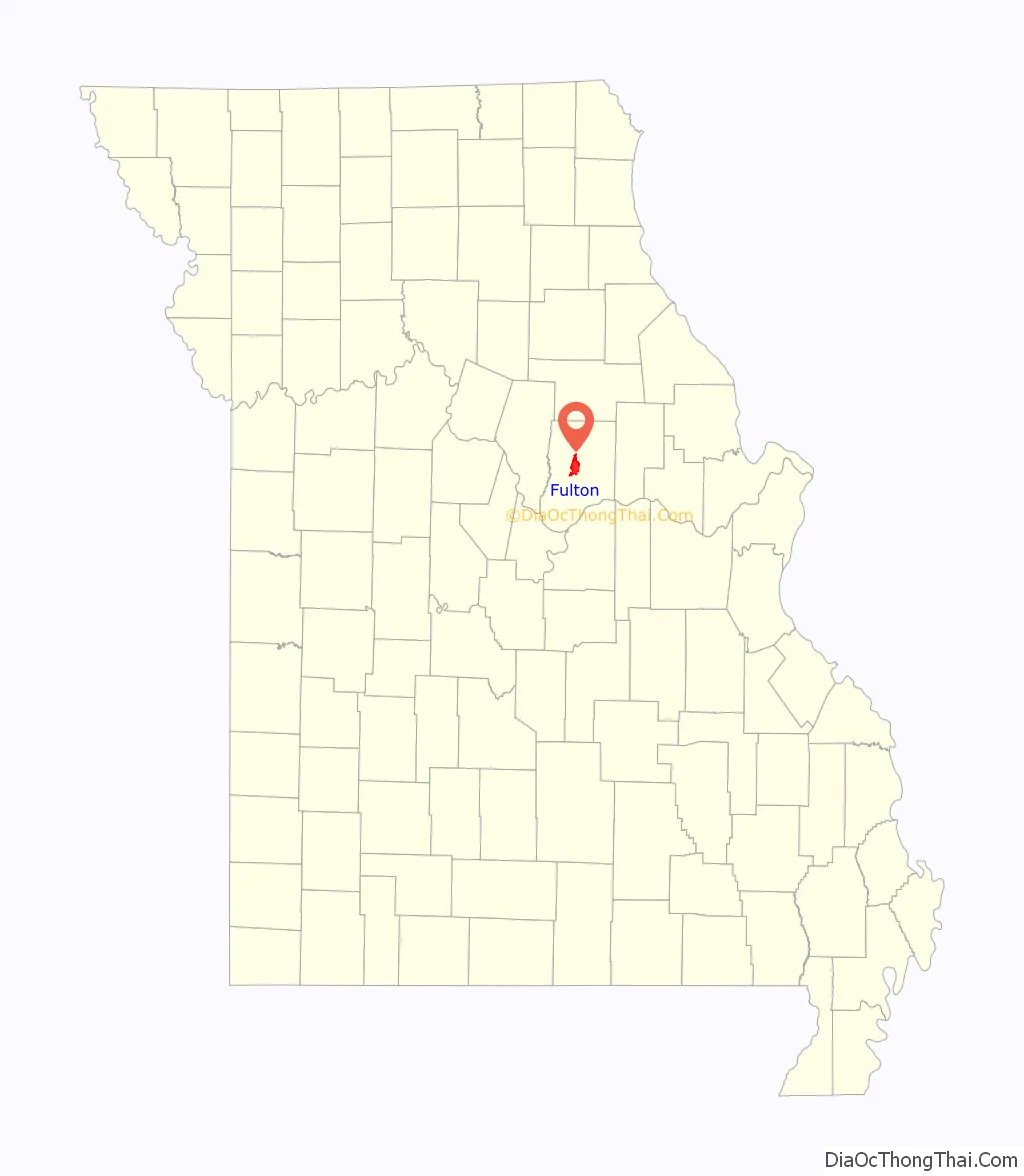
Fulton location map. Where is Fulton city?
History
The first settlement in the county was in 1809 at Cote Sans Dessein along the Missouri River. Early leaders considered siting the first Missouri state capital in the territory between Wainwright and Tebbetts. Callaway County was organized in 1820 and was named after Captain James Callaway, who was killed by Native Americans. Elizabeth became the first county seat. Many of the villages and towns in the county today represent places where railroad stations existed in early years.
In 1861, word arrived that Union troops had advanced to a nearby county. Colonel Jefferson F. Jones, from eastern Callaway County, assembled troops to protect the county. Forces were limited as many were already defending the country, but Jones marched the troops eastward to meet the approaching companies.
The successful defense was merely an illusion. Tree logs, erected by the troops, resembled artillery in the shadows of campfires and deterred Union troops. Talks continued several days and secured a mutual ceasefire agreement between the United States of America and Callaway County. Elated from the successful defense, citizens proclaimed their county The Kingdom of Callaway, a reference that remains today.
Fulton, the largest city in Callaway County, was founded and became the county seat in 1825 but was not incorporated until March 14, 1859. The city was originally named Volney after Constantin François de Chassebœuf, comte de Volney, but was changed to honor Robert Fulton, the engineer and inventor, two months after the initial Volney name in 1825. Volney, New York is a town in Oswego County, New York which is also named for Volney. A village within the town of Volney is Fulton, New York which is also named for Robert Fulton.
The early residents of Fulton were from predominantly southern culture. The coastal and upland southerners that settled the land brought with them slaves and established an agricultural economy.
When the first history of Callaway County was compiled in 1884, the die had already been cast as far as the type of community Fulton was to be. The Missouri General Assembly had voted to establish an asylum for the insane in Fulton (February 26, 1847), the first mental health facility west of the Mississippi; the General Assembly agreed (February 28, 1851) to establish a school for the education of the deaf in Fulton; in 1842 the Presbyterian Church had opened a female seminary later known as Synodical College; in the fall of 1851 the Presbyterian Church established the all-male Fulton College, now known as Westminster College; and Fulton was the seat of county government. Winston Churchill gave his famous “Sinews of Peace” (Iron Curtain) speech at Westminster on March 5, 1946, in the presence of President Harry S Truman.
The Christian Church moved its Orphan School to Fulton in 1890. Whether or not they were influenced by the already-existing colleges is not known, but Fulton’s bid of $40,000 and the offer of 10 acres (40,000 m) of land was surely a factor. The school, which had previously been located at Camden Point, Missouri, later became William Woods College for Women, which later became a coed university.
Novelist Henry Bellamann was born in Fulton in 1882, and grew up and attended college there. Fulton is said to have been Bellamann’s model for the fictional town of the novel Kings Row, which generated questions about the resemblance it had to individuals and situations around the area. In 1940, producers made a movie based on the book. The cast included Ann Sheridan, Robert Cummings, Ronald Reagan and Betty Field. The suit worn by Ronald Reagan in the film is on display at the Show Me Innovation Center offices of the Callaway Chamber of Commerce.
The M. Fred Bell Rental Cottage, M. Fred Bell Speculative Cottage, Brandon-Bell-Collier House, George Washington Carver School, Court Street Historic Residential District, Downtown Fulton Historic District, John Augustus Hockaday House, Pitcher Store, Robnett-Payne House, Westminster College Gymnasium, Westminster College Historic District, and White Cloud Presbyterian Church and Cemetery are listed on the National Register of Historic Places.
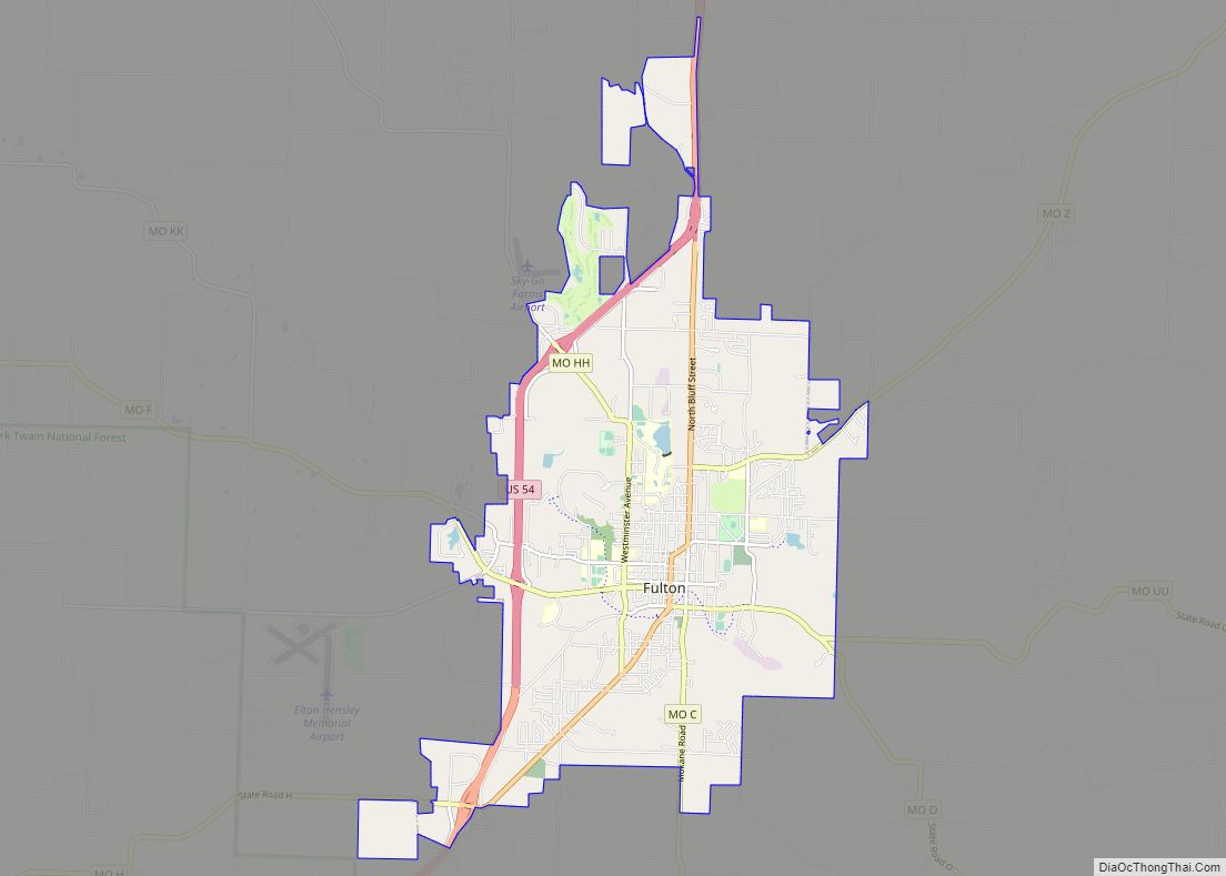
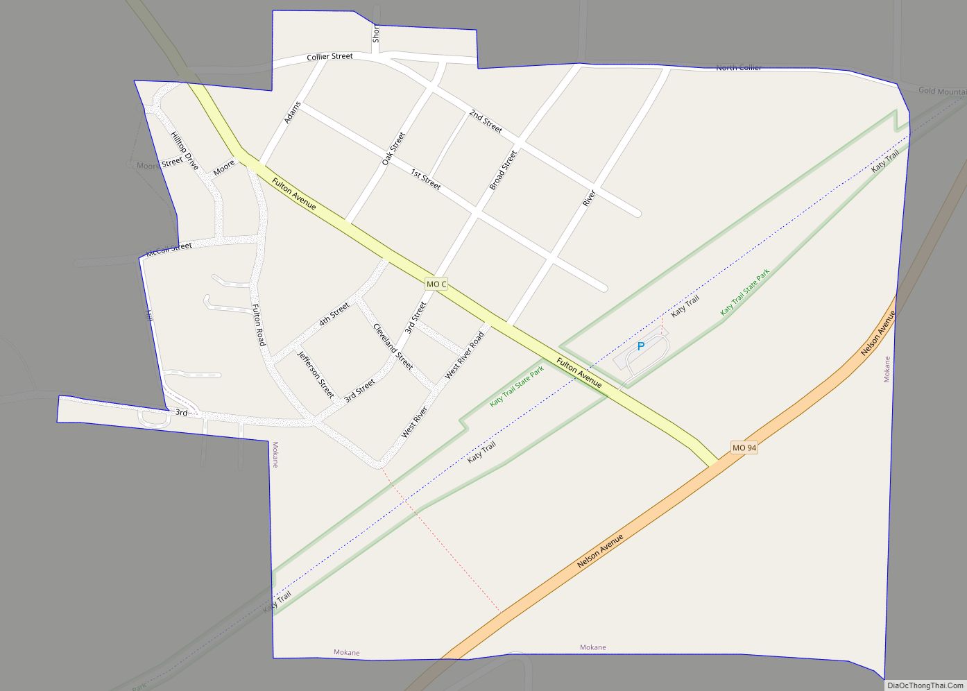
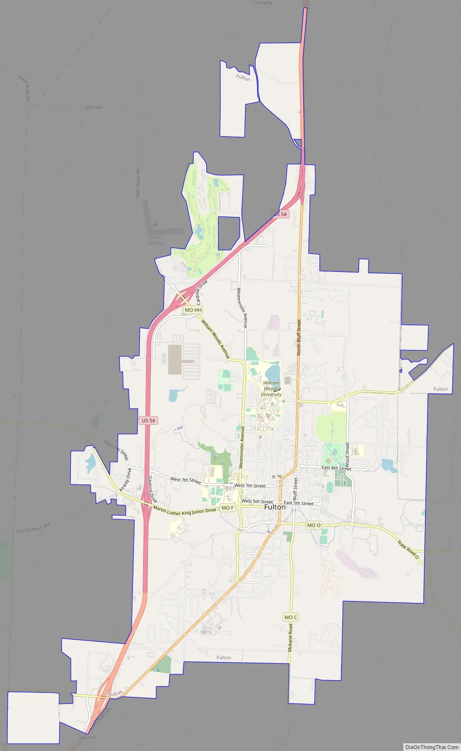
Fulton Road Map
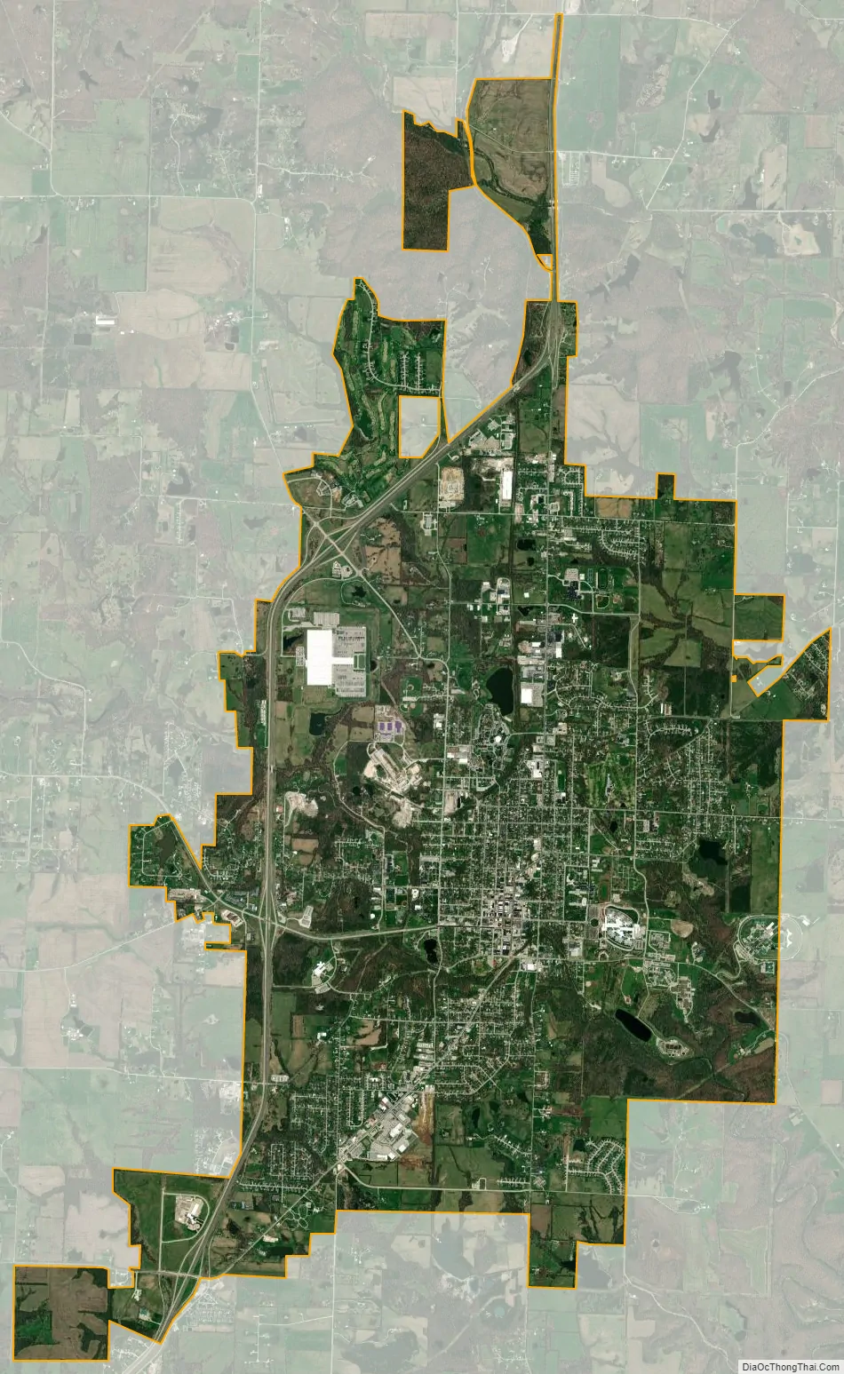
Fulton city Satellite Map
Geography
The city is located in central Callaway County along U.S. Route 54 about 22 miles (35 km) northeast of Jefferson City and the Missouri River. Columbia is about 20 miles (32 km) to the northwest.
According to the United States Census Bureau, the city has a total area of 12.40 square miles (32.12 km), of which 12.26 square miles (31.75 km) is land and 0.14 square miles (0.36 km) is water.
See also
Map of Missouri State and its subdivision:- Adair
- Andrew
- Atchison
- Audrain
- Barry
- Barton
- Bates
- Benton
- Bollinger
- Boone
- Buchanan
- Butler
- Caldwell
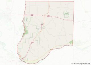
- Callaway
- Camden
- Cape Girardeau
- Carroll
- Carter
- Cass
- Cedar
- Chariton
- Christian
- Clark
- Clay
- Clinton
- Cole
- Cooper
- Crawford
- Dade
- Dallas
- Daviess
- De Kalb
- Dent
- Douglas
- Dunklin
- Franklin
- Gasconade
- Gentry
- Greene
- Grundy
- Harrison
- Henry
- Hickory
- Holt
- Howard
- Howell
- Iron
- Jackson
- Jasper
- Jefferson
- Johnson
- Knox
- Laclede
- Lafayette
- Lawrence
- Lewis
- Lincoln
- Linn
- Livingston
- Macon
- Madison
- Maries
- Marion
- McDonald
- Mercer
- Miller
- Mississippi
- Moniteau
- Monroe
- Montgomery
- Morgan
- New Madrid
- Newton
- Nodaway
- Oregon
- Osage
- Ozark
- Pemiscot
- Perry
- Pettis
- Phelps
- Pike
- Platte
- Polk
- Pulaski
- Putnam
- Ralls
- Randolph
- Ray
- Reynolds
- Ripley
- Saint Charles
- Saint Clair
- Saint Francois
- Saint Louis
- Sainte Genevieve
- Saline
- Schuyler
- Scotland
- Scott
- Shannon
- Shelby
- Stoddard
- Stone
- Sullivan
- Taney
- Texas
- Vernon
- Warren
- Washington
- Wayne
- Webster
- Worth
- Wright
- Alabama
- Alaska
- Arizona
- Arkansas
- California
- Colorado
- Connecticut
- Delaware
- District of Columbia
- Florida
- Georgia
- Hawaii
- Idaho
- Illinois
- Indiana
- Iowa
- Kansas
- Kentucky
- Louisiana
- Maine
- Maryland
- Massachusetts
- Michigan
- Minnesota
- Mississippi
- Missouri
- Montana
- Nebraska
- Nevada
- New Hampshire
- New Jersey
- New Mexico
- New York
- North Carolina
- North Dakota
- Ohio
- Oklahoma
- Oregon
- Pennsylvania
- Rhode Island
- South Carolina
- South Dakota
- Tennessee
- Texas
- Utah
- Vermont
- Virginia
- Washington
- West Virginia
- Wisconsin
- Wyoming