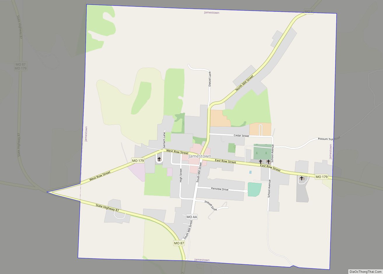
Jamestown is a village in northeastern Moniteau County, Missouri, United States. The population was 386 at the 2010 census. It is part of the Jefferson City, Missouri Metropolitan Statistical Area.
| Name: | Jamestown town |
|---|---|
| LSAD Code: | 43 |
| LSAD Description: | town (suffix) |
| State: | Missouri |
| County: | Moniteau County |
| Founded: | 1846 |
| Incorporated: | 1850 |
| Elevation: | 869 ft (265 m) |
| Total Area: | 1.01 sq mi (2.61 km²) |
| Land Area: | 1.00 sq mi (2.59 km²) |
| Water Area: | 0.01 sq mi (0.02 km²) |
| Total Population: | 330 |
| Population Density: | 330.33/sq mi (127.48/km²) |
| ZIP code: | 65046 |
| Area code: | 660 |
| FIPS code: | 2936368 |
| GNISfeature ID: | 2397011 |
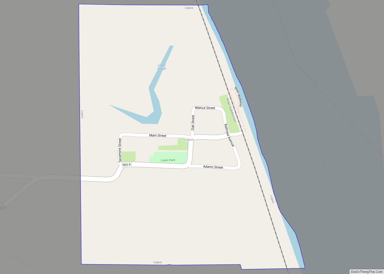
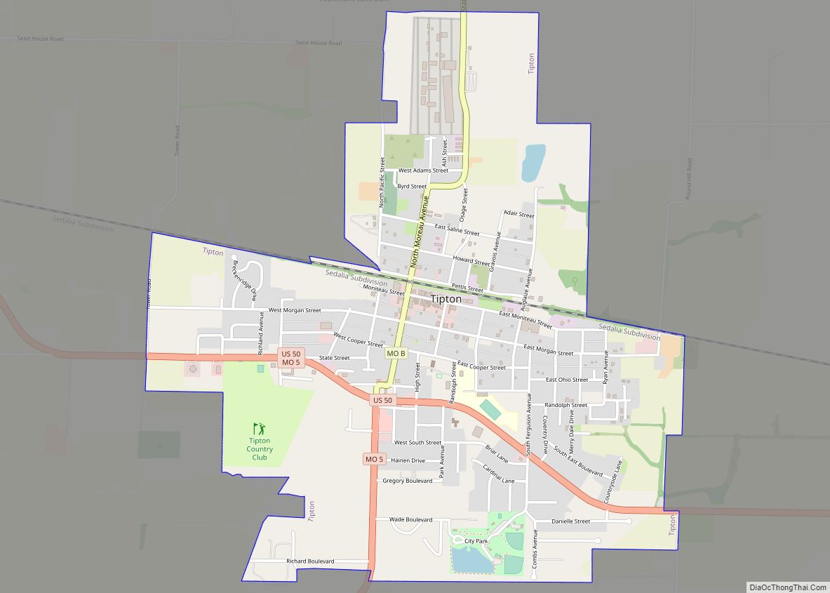
Online Interactive Map
Click on ![]() to view map in "full screen" mode.
to view map in "full screen" mode.
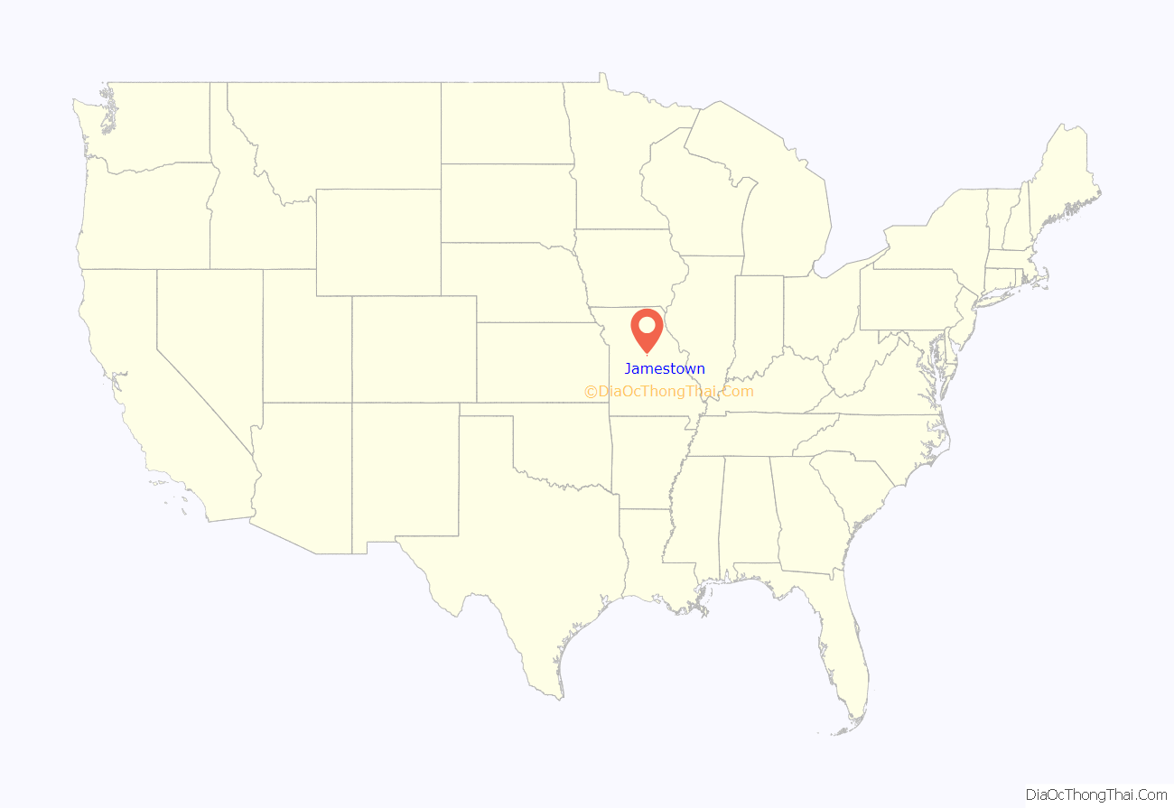
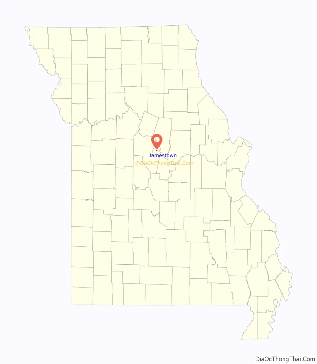
Jamestown location map. Where is Jamestown town?
History
Jamestown had its start in 1846 when E. H. and S. L. James established a country store at that point. A post office called Jamestown has been in operation since 1850.
Assumption of the Blessed Virgin Mary Parish Historic District and Dick-Kobel Homestead are listed on the National Register of Historic Places.
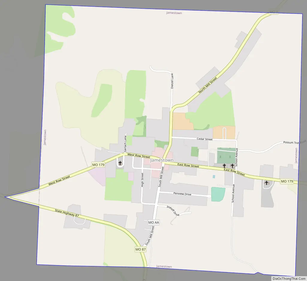
Jamestown Road Map
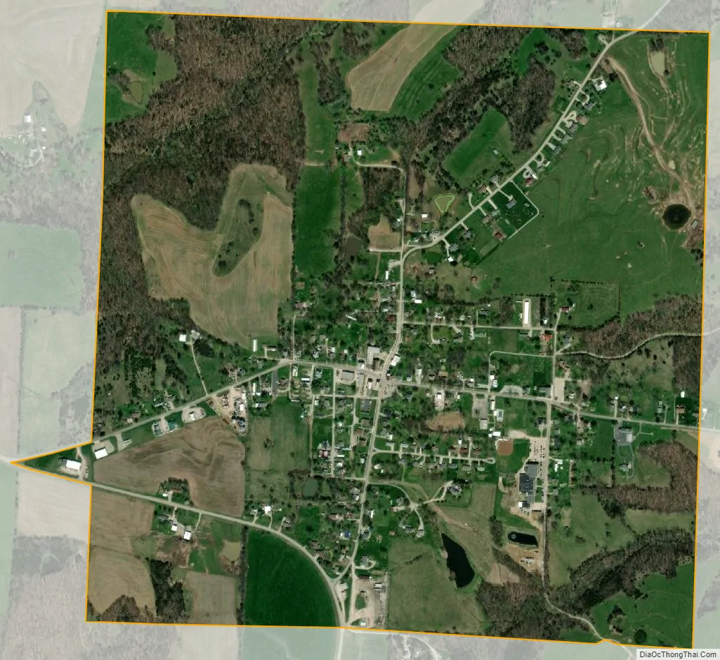
Jamestown city Satellite Map
Geography
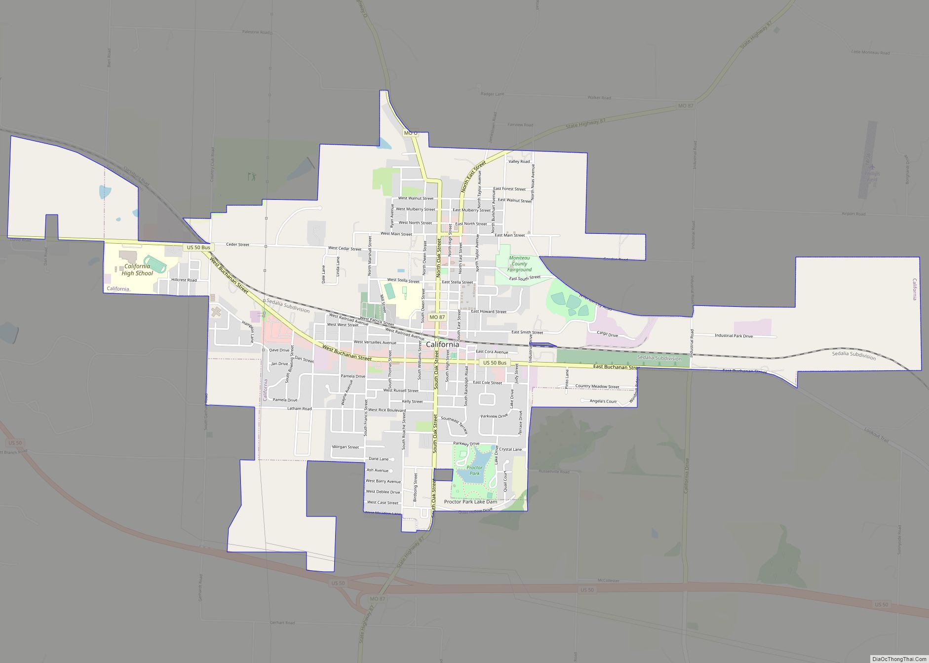
Jamestown is located on Missouri Route 87, approximately ten miles northeast of California. Sandy Hook, on the Missouri River, is about four miles east on Missouri Route 179.
According to the United States Census Bureau, the village has a total area of 1.01 square miles (2.62 km), of which 1.00 square mile (2.59 km) is land and 0.01 square miles (0.03 km) is water.
See also
Map of Missouri State and its subdivision:- Adair
- Andrew
- Atchison
- Audrain
- Barry
- Barton
- Bates
- Benton
- Bollinger
- Boone
- Buchanan
- Butler
- Caldwell
- Callaway
- Camden
- Cape Girardeau
- Carroll
- Carter
- Cass
- Cedar
- Chariton
- Christian
- Clark
- Clay
- Clinton
- Cole
- Cooper
- Crawford
- Dade
- Dallas
- Daviess
- De Kalb
- Dent
- Douglas
- Dunklin
- Franklin
- Gasconade
- Gentry
- Greene
- Grundy
- Harrison
- Henry
- Hickory
- Holt
- Howard
- Howell
- Iron
- Jackson
- Jasper
- Jefferson
- Johnson
- Knox
- Laclede
- Lafayette
- Lawrence
- Lewis
- Lincoln
- Linn
- Livingston
- Macon
- Madison
- Maries
- Marion
- McDonald
- Mercer
- Miller
- Mississippi
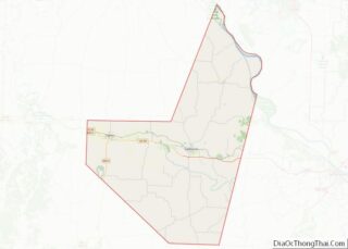
- Moniteau
- Monroe
- Montgomery
- Morgan
- New Madrid
- Newton
- Nodaway
- Oregon
- Osage
- Ozark
- Pemiscot
- Perry
- Pettis
- Phelps
- Pike
- Platte
- Polk
- Pulaski
- Putnam
- Ralls
- Randolph
- Ray
- Reynolds
- Ripley
- Saint Charles
- Saint Clair
- Saint Francois
- Saint Louis
- Sainte Genevieve
- Saline
- Schuyler
- Scotland
- Scott
- Shannon
- Shelby
- Stoddard
- Stone
- Sullivan
- Taney
- Texas
- Vernon
- Warren
- Washington
- Wayne
- Webster
- Worth
- Wright
- Alabama
- Alaska
- Arizona
- Arkansas
- California
- Colorado
- Connecticut
- Delaware
- District of Columbia
- Florida
- Georgia
- Hawaii
- Idaho
- Illinois
- Indiana
- Iowa
- Kansas
- Kentucky
- Louisiana
- Maine
- Maryland
- Massachusetts
- Michigan
- Minnesota
- Mississippi
- Missouri
- Montana
- Nebraska
- Nevada
- New Hampshire
- New Jersey
- New Mexico
- New York
- North Carolina
- North Dakota
- Ohio
- Oklahoma
- Oregon
- Pennsylvania
- Rhode Island
- South Carolina
- South Dakota
- Tennessee
- Texas
- Utah
- Vermont
- Virginia
- Washington
- West Virginia
- Wisconsin
- Wyoming