Kearney /ˈkɑːrni/ is a city in Clay County, Missouri, United States. The population per the 2020 U.S. Census was 10,404. The city was the birthplace of Jesse James, and there is an annual festival in the third weekend of September to recognize the outlaw. It is part of the Kansas City metropolitan area.
| Name: | Kearney city |
|---|---|
| LSAD Code: | 25 |
| LSAD Description: | city (suffix) |
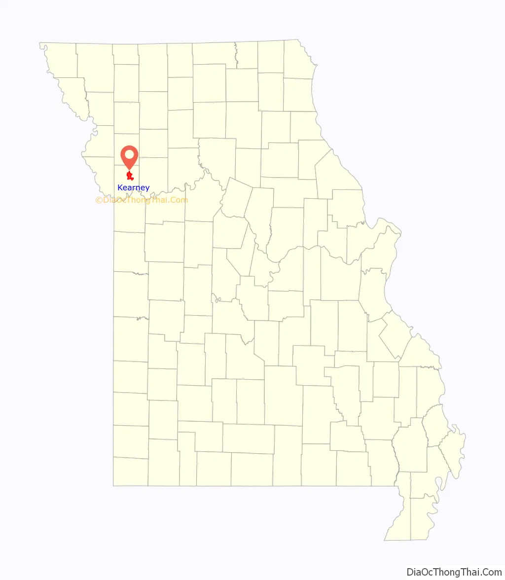
| State: | Missouri |
| County: | Clay County |
| Incorporated: | 1869 |
| Elevation: | 833 ft (254 m) |
| Total Area: | 13.34 sq mi (34.56 km²) |
| Land Area: | 13.33 sq mi (34.54 km²) |
| Water Area: | 0.01 sq mi (0.02 km²) |
| Total Population: | 10,404 |
| Population Density: | 780.26/sq mi (301.26/km²) |
| ZIP code: | 64060 |
| Area code: | 816 |
| FIPS code: | 2938072 |
| GNISfeature ID: | 2395496 |
| Website: | http://www.ci.kearney.mo.us |
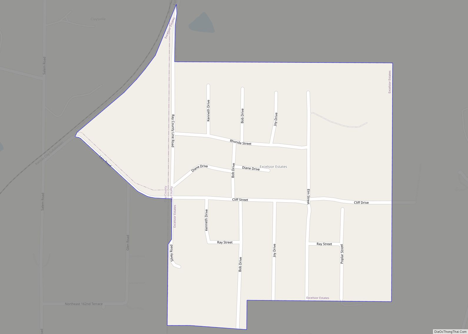
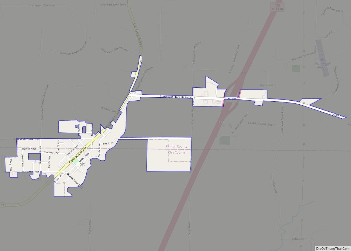
Online Interactive Map
Click on ![]() to view map in "full screen" mode.
to view map in "full screen" mode.
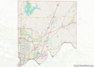
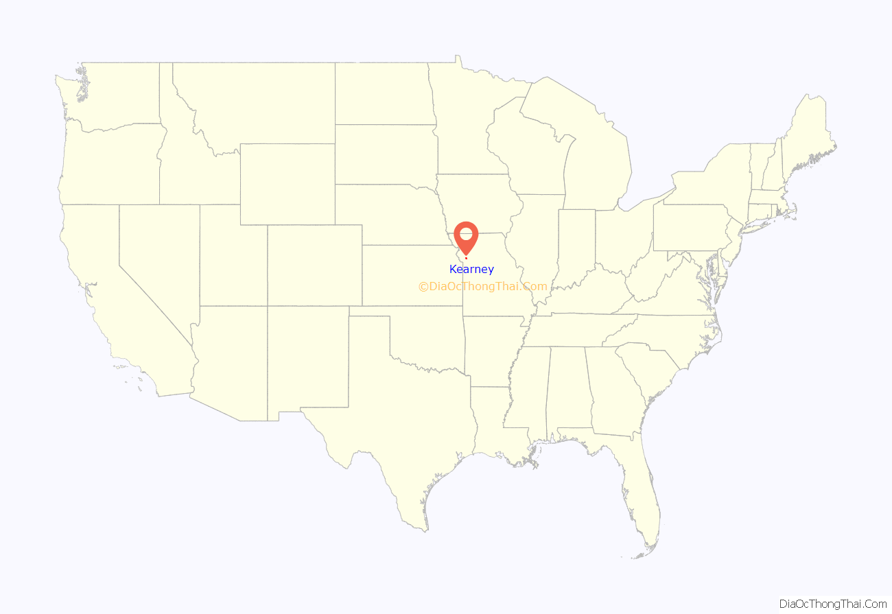
Kearney location map. Where is Kearney city?
History
Kearney was unofficially founded in the spring of 1856 by David T. Duncan and W. R. Cave, and was originally called Centerville. Centerville was composed of what is now the southeastern portion of the town. In 1867, John Lawrence began laying out plans for another small settlement around the newly established Kansas City and Cameron Railroad subsidiary of the Hannibal and Saint Joseph Railroad which was to build the Hannibal Bridge establishing Kansas City, Missouri as the dominant city in the region. The president of the railroad was Charles E. Kearney (although there is speculation that it was named after Kearney, Nebraska). The railroad still operates as the Burlington Northern and Santa Fe Railway. As they grew, the two settlements of Centerville and Kearney were effectively merged, and the town of Kearney, Missouri was officially incorporated in 1869.
The Claybrook House (since destroyed in a fire) and James Brothers’ House and Farm are listed on the National Register of Historic Places.
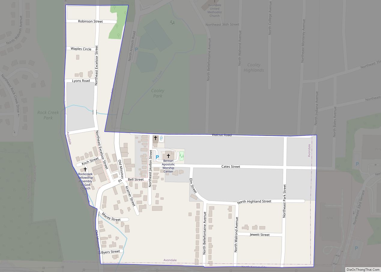
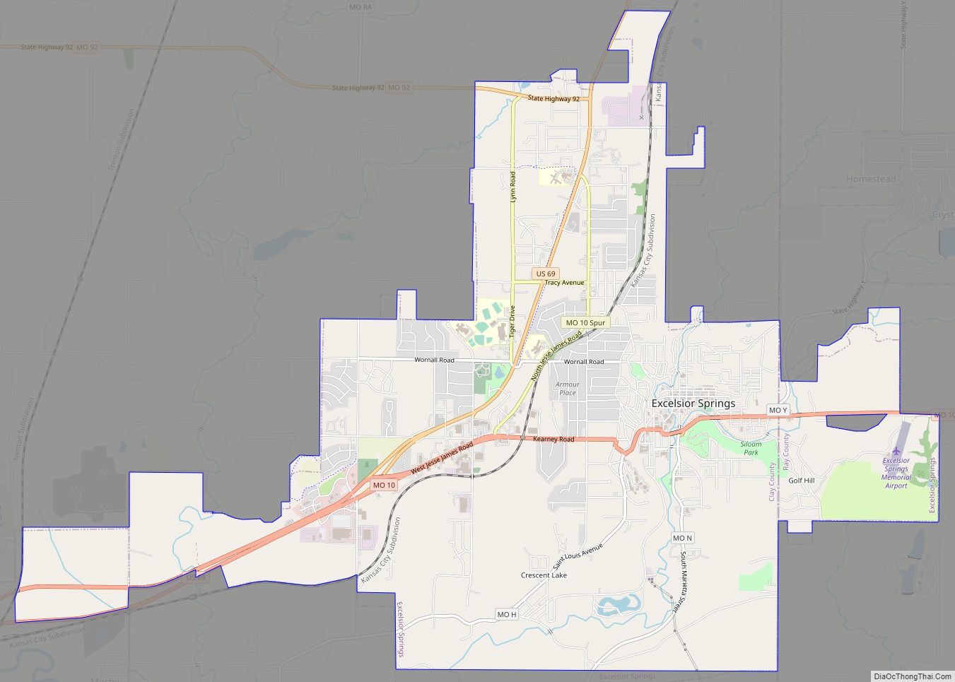
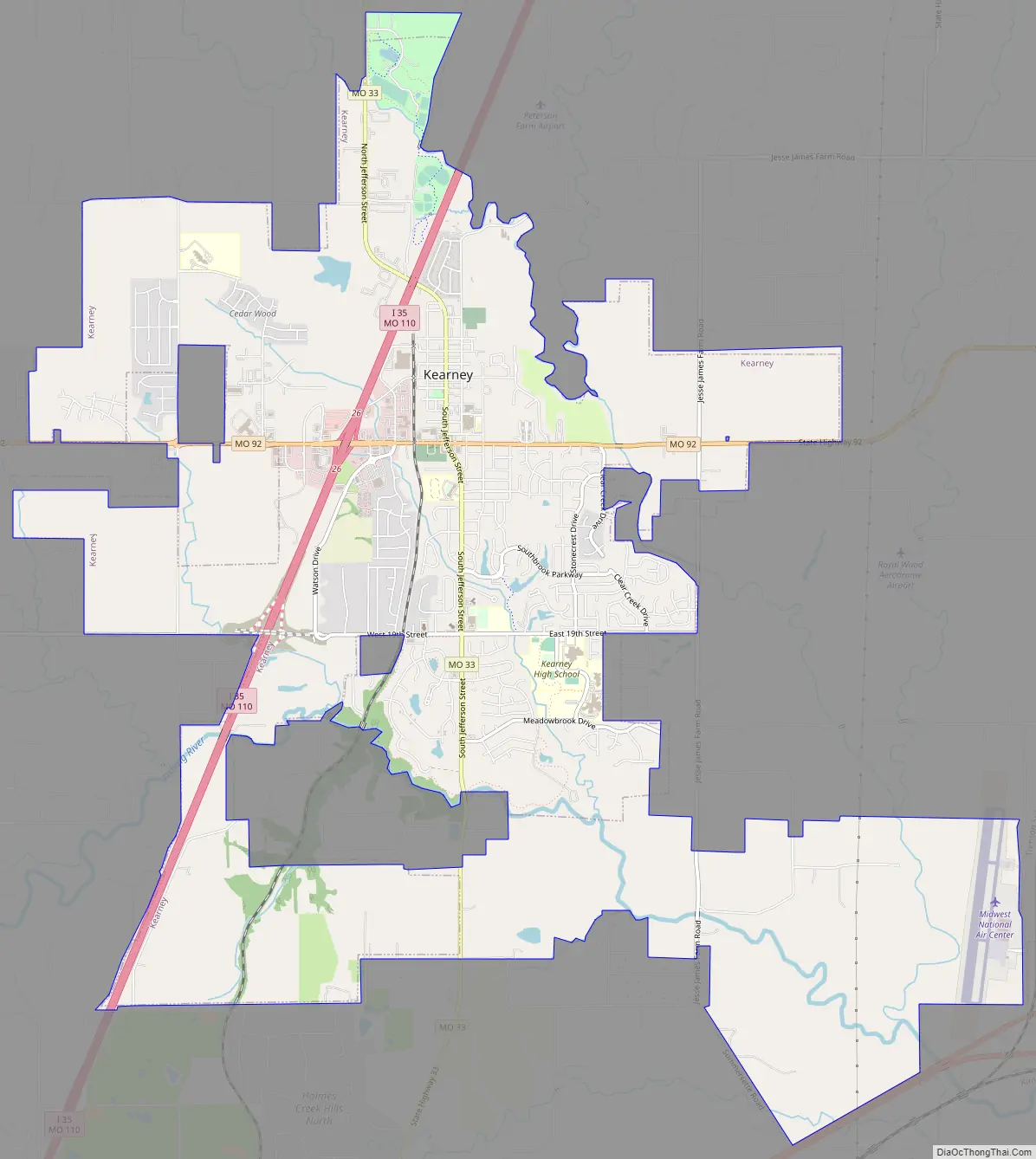
Kearney Road Map
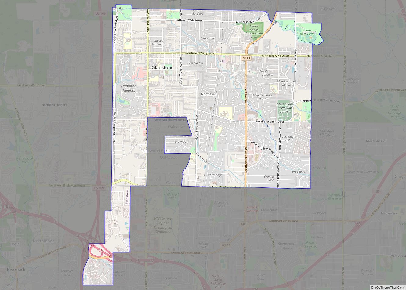
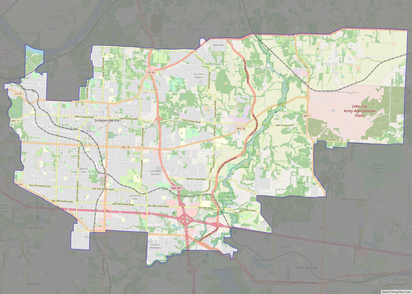
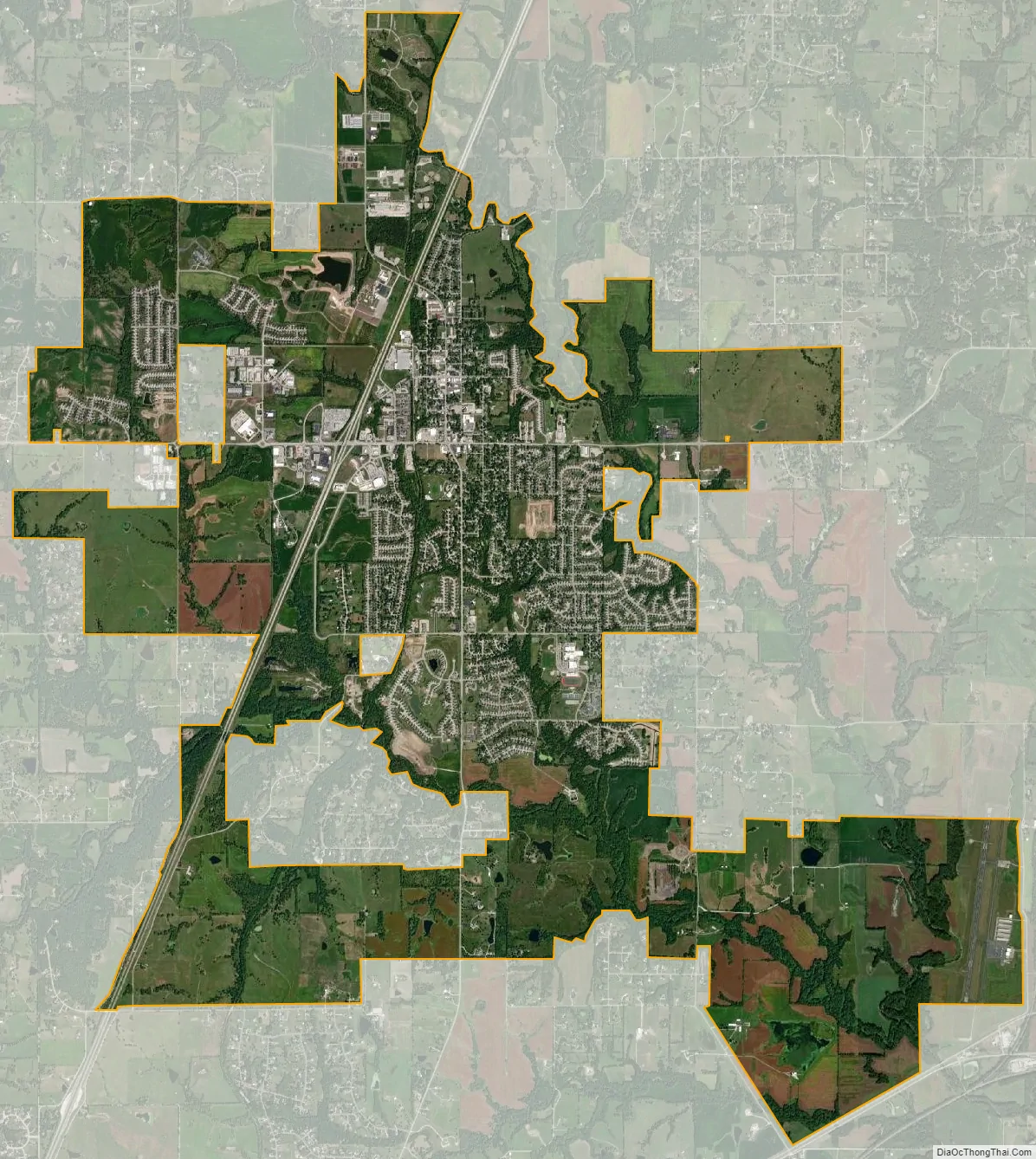
Kearney city Satellite Map
Geography
Kearney is located in north central Clay County northeast of the Kansas City metropolitan area. According to the United States Census Bureau, the city has a total area of 12.92 square miles (33.46 km), of which 12.91 square miles (33.44 km) is land and 0.01 square miles (0.03 km) is water.
Climate
Kearney lies in the humid continental climate zone, typical of the Midwestern United States. It experiences cold, snowy winters, and warm to hot, humid summers. The city lies in Tornado Alley, a region of the United States that is extremely prone to tornadoes and severe thunderstorms. Generally, most of this severe weather activity occurs in the spring and summer, although severe weather can and has occurred even in the winter months.
See also
Map of Missouri State and its subdivision:- Adair
- Andrew
- Atchison
- Audrain
- Barry
- Barton
- Bates
- Benton
- Bollinger
- Boone
- Buchanan
- Butler
- Caldwell
- Callaway
- Camden
- Cape Girardeau
- Carroll
- Carter
- Cass
- Cedar
- Chariton
- Christian
- Clark
- Clay
- Clinton
- Cole
- Cooper
- Crawford
- Dade
- Dallas
- Daviess
- De Kalb
- Dent
- Douglas
- Dunklin
- Franklin
- Gasconade
- Gentry
- Greene
- Grundy
- Harrison
- Henry
- Hickory
- Holt
- Howard
- Howell
- Iron
- Jackson
- Jasper
- Jefferson
- Johnson
- Knox
- Laclede
- Lafayette
- Lawrence
- Lewis
- Lincoln
- Linn
- Livingston
- Macon
- Madison
- Maries
- Marion
- McDonald
- Mercer
- Miller
- Mississippi
- Moniteau
- Monroe
- Montgomery
- Morgan
- New Madrid
- Newton
- Nodaway
- Oregon
- Osage
- Ozark
- Pemiscot
- Perry
- Pettis
- Phelps
- Pike
- Platte
- Polk
- Pulaski
- Putnam
- Ralls
- Randolph
- Ray
- Reynolds
- Ripley
- Saint Charles
- Saint Clair
- Saint Francois
- Saint Louis
- Sainte Genevieve
- Saline
- Schuyler
- Scotland
- Scott
- Shannon
- Shelby
- Stoddard
- Stone
- Sullivan
- Taney
- Texas
- Vernon
- Warren
- Washington
- Wayne
- Webster
- Worth
- Wright
- Alabama
- Alaska
- Arizona
- Arkansas
- California
- Colorado
- Connecticut
- Delaware
- District of Columbia
- Florida
- Georgia
- Hawaii
- Idaho
- Illinois
- Indiana
- Iowa
- Kansas
- Kentucky
- Louisiana
- Maine
- Maryland
- Massachusetts
- Michigan
- Minnesota
- Mississippi
- Missouri
- Montana
- Nebraska
- Nevada
- New Hampshire
- New Jersey
- New Mexico
- New York
- North Carolina
- North Dakota
- Ohio
- Oklahoma
- Oregon
- Pennsylvania
- Rhode Island
- South Carolina
- South Dakota
- Tennessee
- Texas
- Utah
- Vermont
- Virginia
- Washington
- West Virginia
- Wisconsin
- Wyoming