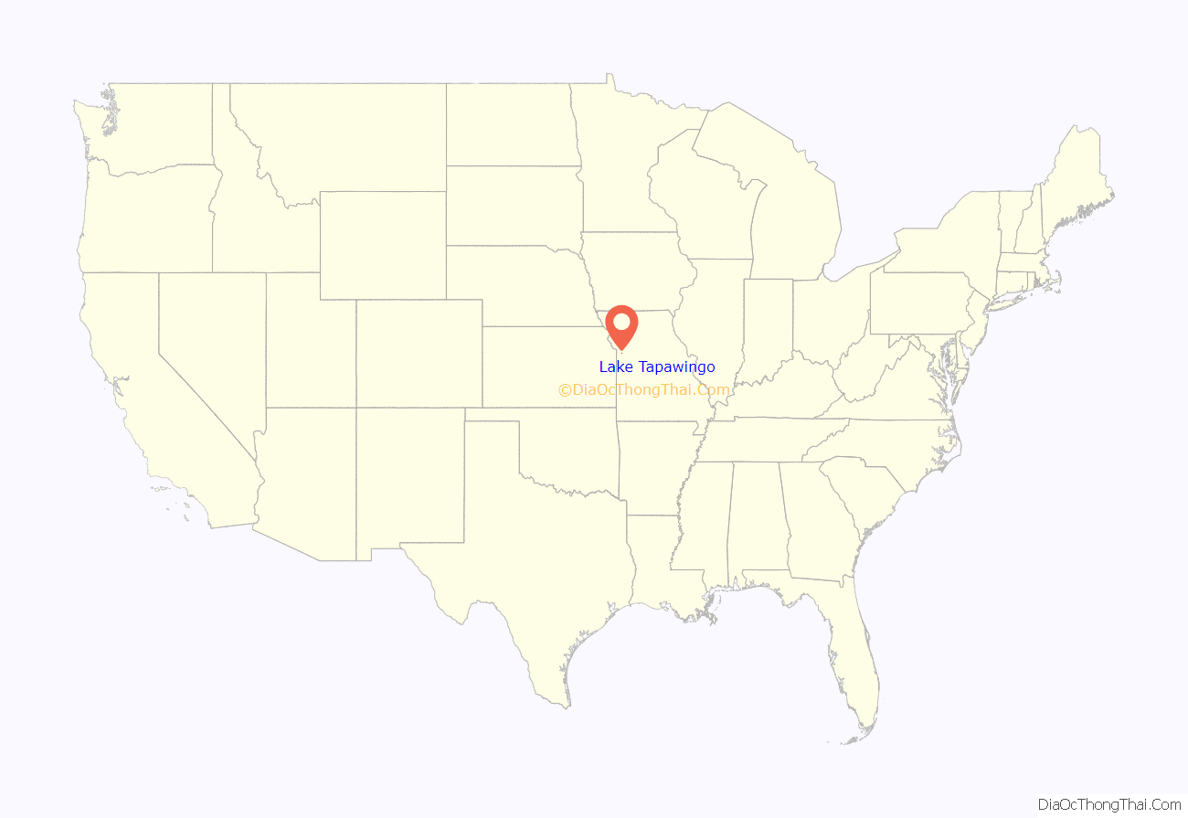
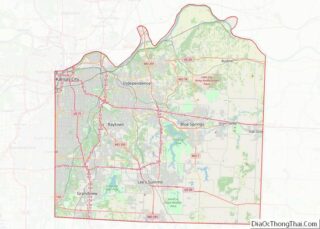
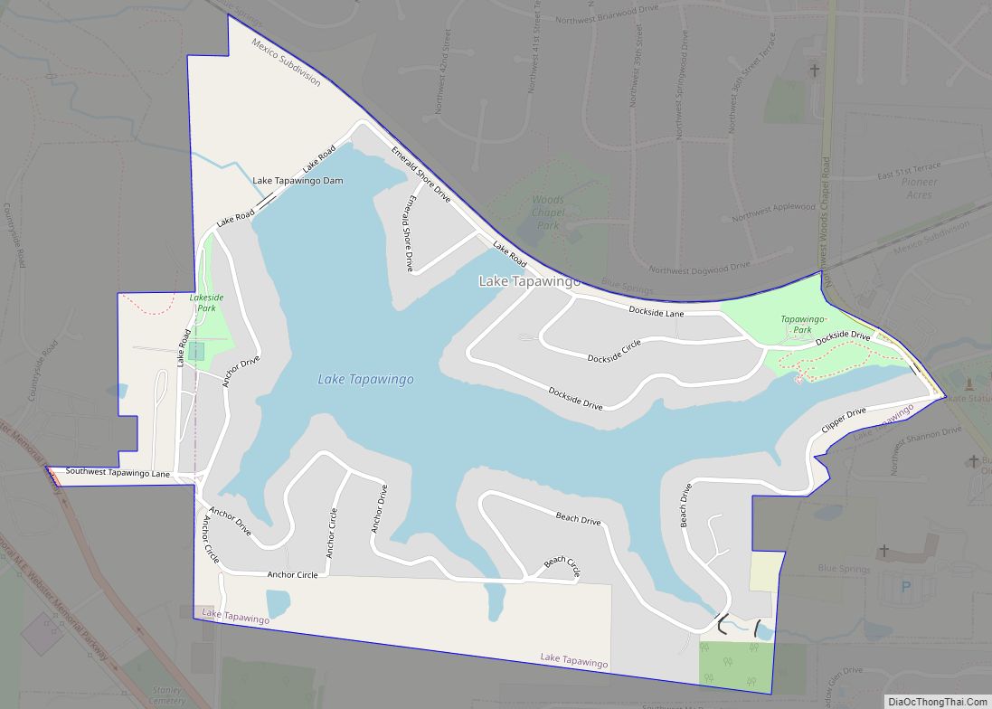
Lake Tapawingo is a city in Jackson County, Missouri, United States. The population was 730 at the 2010 census.
| Name: | Lake Tapawingo city |
|---|---|
| LSAD Code: | 25 |
| LSAD Description: | city (suffix) |
| State: | Missouri |
| County: | Jackson County |
| Elevation: | 850 ft (259 m) |
| Total Area: | 0.45 sq mi (1.17 km²) |
| Land Area: | 0.32 sq mi (0.83 km²) |
| Water Area: | 0.13 sq mi (0.34 km²) |
| Total Population: | 794 |
| Population Density: | 2,481.25/sq mi (957.67/km²) |
| ZIP code: | 64015 |
| Area code: | 816 |
| FIPS code: | 2940196 |
| GNISfeature ID: | 0755426 |
Online Interactive Map
Click on ![]() to view map in "full screen" mode.
to view map in "full screen" mode.
Lake Tapawingo location map. Where is Lake Tapawingo city?
History
Lake Tapawingo was constructed by the Lake Tapawingo Development Company in 1926 as an “exclusive sports retreat and rest haven.” The city takes its name from a lake of the same name within its borders. Derived from a Native American word meaning “beautiful water” or “beautiful place”, it is also said to be named after an Indian princess. The City of Lake Tapawingo was officially formed in 1962 in order to prevent annexation by the larger cities of either Blue Springs, Missouri or Independence, Missouri.
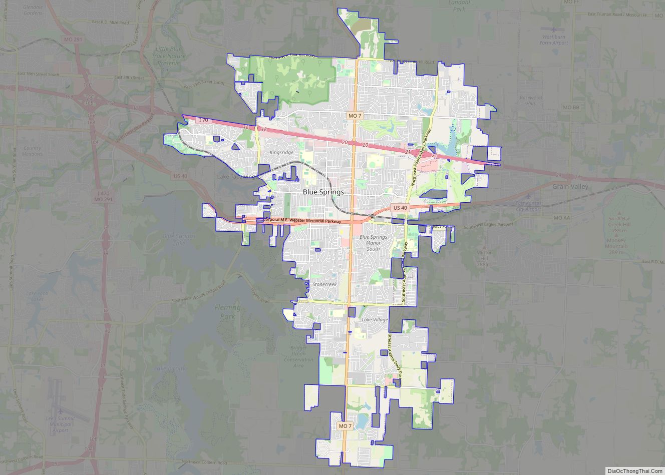
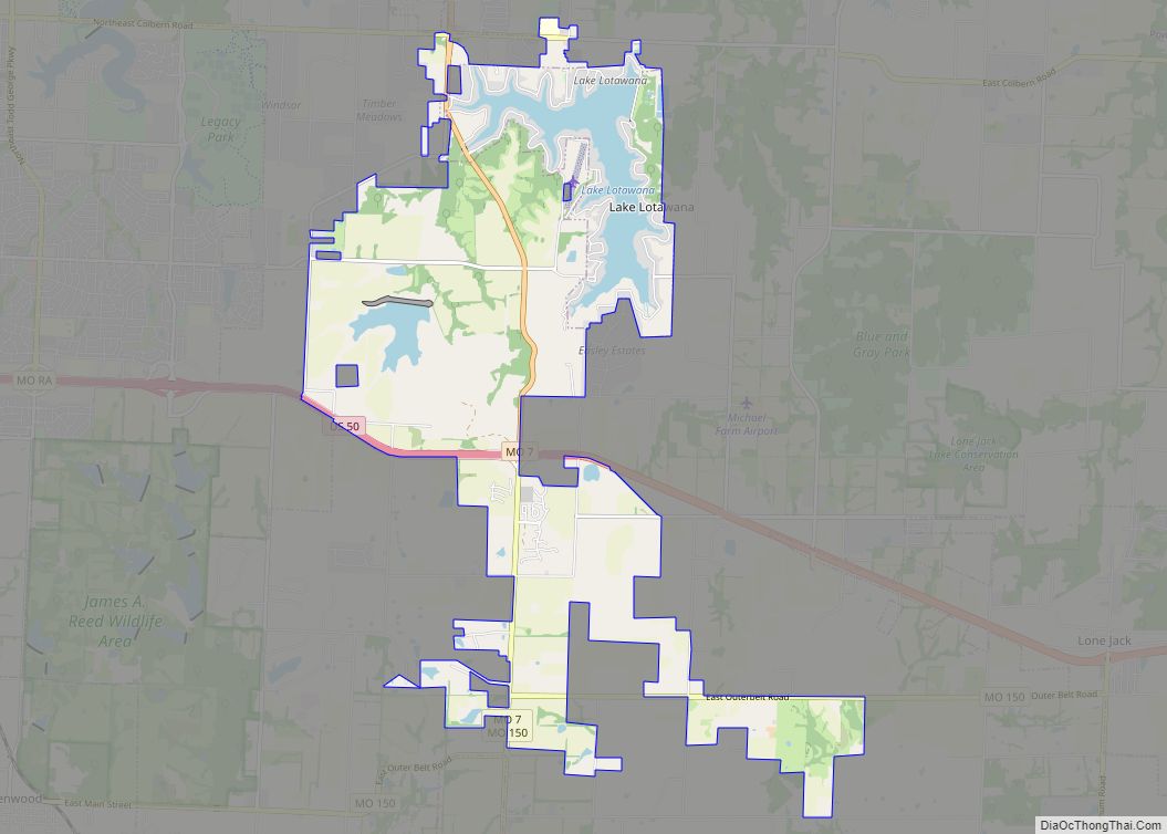
Lake Tapawingo Road Map
Lake Tapawingo city Satellite Map
Geography
Lake Tapawingo is located at 39°1′11″N 94°18′34″W / 39.01972°N 94.30944°W / 39.01972; -94.30944 (39.019739, -94.309445).
According to the United States Census Bureau, the city has a total area of 0.50 square miles (1.29 km), of which 0.37 square miles (0.96 km) is land and 0.13 square miles (0.34 km) is water.
See also
Map of Missouri State and its subdivision:- Adair
- Andrew
- Atchison
- Audrain
- Barry
- Barton
- Bates
- Benton
- Bollinger
- Boone
- Buchanan
- Butler
- Caldwell
- Callaway
- Camden
- Cape Girardeau
- Carroll
- Carter
- Cass
- Cedar
- Chariton
- Christian
- Clark
- Clay
- Clinton
- Cole
- Cooper
- Crawford
- Dade
- Dallas
- Daviess
- De Kalb
- Dent
- Douglas
- Dunklin
- Franklin
- Gasconade
- Gentry
- Greene
- Grundy
- Harrison
- Henry
- Hickory
- Holt
- Howard
- Howell
- Iron
- Jackson
- Jasper
- Jefferson
- Johnson
- Knox
- Laclede
- Lafayette
- Lawrence
- Lewis
- Lincoln
- Linn
- Livingston
- Macon
- Madison
- Maries
- Marion
- McDonald
- Mercer
- Miller
- Mississippi
- Moniteau
- Monroe
- Montgomery
- Morgan
- New Madrid
- Newton
- Nodaway
- Oregon
- Osage
- Ozark
- Pemiscot
- Perry
- Pettis
- Phelps
- Pike
- Platte
- Polk
- Pulaski
- Putnam
- Ralls
- Randolph
- Ray
- Reynolds
- Ripley
- Saint Charles
- Saint Clair
- Saint Francois
- Saint Louis
- Sainte Genevieve
- Saline
- Schuyler
- Scotland
- Scott
- Shannon
- Shelby
- Stoddard
- Stone
- Sullivan
- Taney
- Texas
- Vernon
- Warren
- Washington
- Wayne
- Webster
- Worth
- Wright
- Alabama
- Alaska
- Arizona
- Arkansas
- California
- Colorado
- Connecticut
- Delaware
- District of Columbia
- Florida
- Georgia
- Hawaii
- Idaho
- Illinois
- Indiana
- Iowa
- Kansas
- Kentucky
- Louisiana
- Maine
- Maryland
- Massachusetts
- Michigan
- Minnesota
- Mississippi
- Missouri
- Montana
- Nebraska
- Nevada
- New Hampshire
- New Jersey
- New Mexico
- New York
- North Carolina
- North Dakota
- Ohio
- Oklahoma
- Oregon
- Pennsylvania
- Rhode Island
- South Carolina
- South Dakota
- Tennessee
- Texas
- Utah
- Vermont
- Virginia
- Washington
- West Virginia
- Wisconsin
- Wyoming
