Lithium is a census-designated place and former village located in Perry County, Missouri, United States. The population was 92 at the 2020 census. The 2000 Census found Lithium to have zero residents; an Associated Press article, however, stated that about 50 people in fact resided there, but may have been counted as part of Perry County’s rural population.
Lithium had a ZIP Code of 63775, but it has since been declared by the USPS to be “Not Acceptable – Use Perryville.”
| Name: | Lithium CDP |
|---|---|
| LSAD Code: | 57 |
| LSAD Description: | CDP (suffix) |
| State: | Missouri |
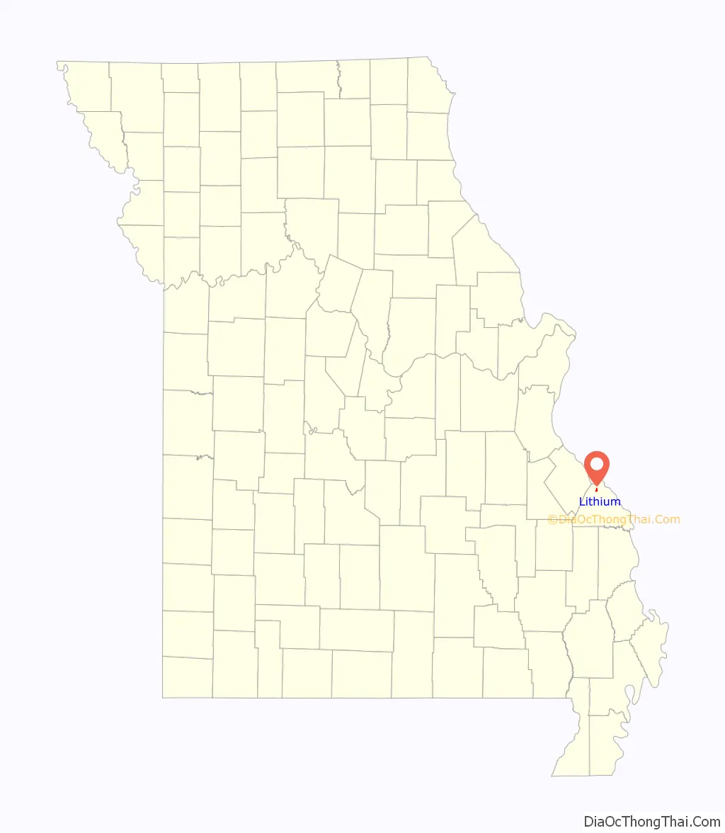
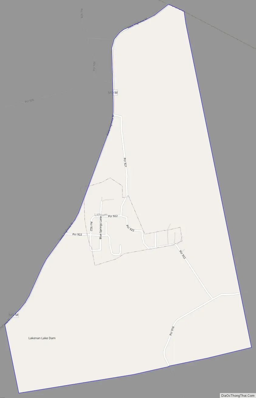
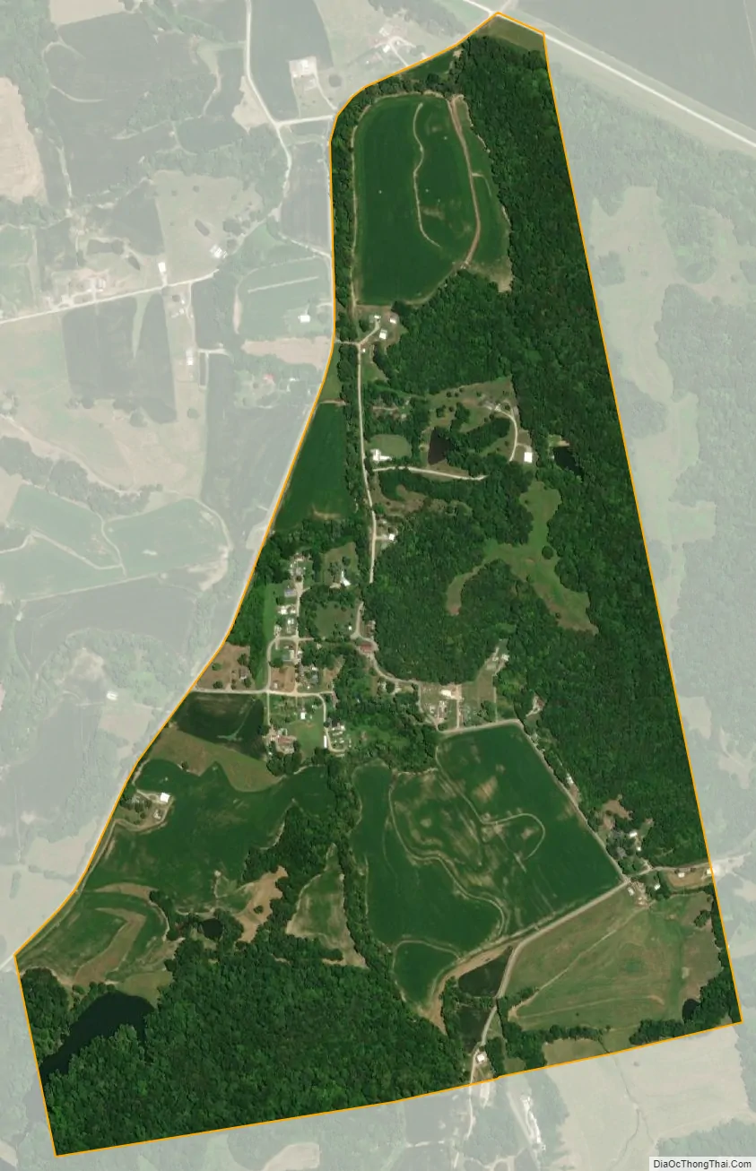
| County: | Perry County |
| Incorporated: | 1883 |
| Elevation: | 381 ft (116 m) |
| Total Area: | 0.78 sq mi (2.01 km²) |
| Land Area: | 0.77 sq mi (1.99 km²) |
| Water Area: | 0.01 sq mi (0.02 km²) |
| Total Population: | 92 |
| Population Density: | 119.48/sq mi (46.14/km²) |
| ZIP code: | 63775 |
| Area code: | 573 |
| FIPS code: | 2943346 |
| GNISfeature ID: | 2398452 |
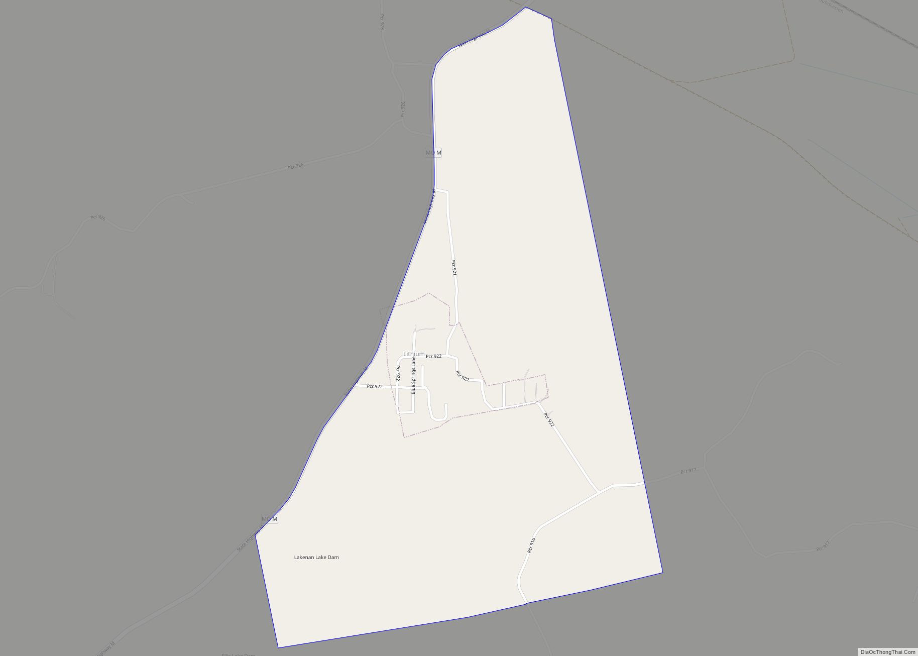
Online Interactive Map
Click on ![]() to view map in "full screen" mode.
to view map in "full screen" mode.
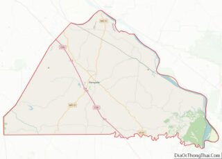
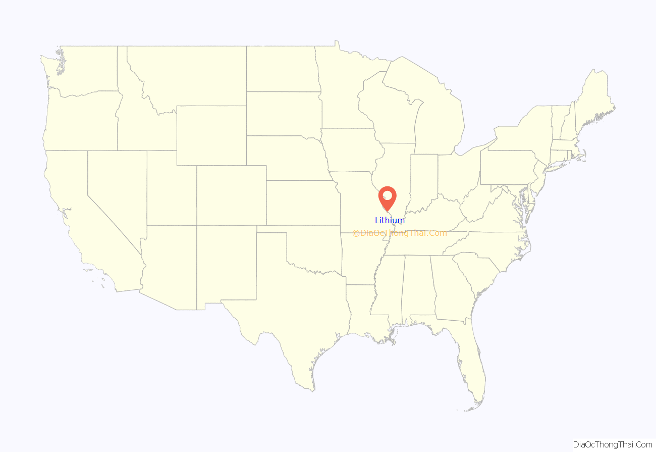
Lithium location map. Where is Lithium CDP?
History
Lithium was first surveyed as a town in 1882. The first settlers were Dr. Henry Clay Fish, Richard P. Dobbs and James G. Christian, who all came to Missouri from Illinois. The town was incorporated in 1883 and the first mayor was Richard C. Lisenby. The location of the town was determined by two mineral springs, which were highly prized on account of their medicinal qualities, which led to the construction of a bath house by Thomas King in 1883. A Baptist church, Lithium Baptist, was organized in 1885 and a Catholic church, St. John the Evangelist, was organized in 1896. By 1912 the town had two general stores, two mills, a brick yard and population of 98.
Lithium Road Map
Lithium city Satellite Map
Geography
According to the United States Census Bureau, the village has a total area of 0.06 square miles (0.16 km), all land.
See also
Map of Missouri State and its subdivision:- Adair
- Andrew
- Atchison
- Audrain
- Barry
- Barton
- Bates
- Benton
- Bollinger
- Boone
- Buchanan
- Butler
- Caldwell
- Callaway
- Camden
- Cape Girardeau
- Carroll
- Carter
- Cass
- Cedar
- Chariton
- Christian
- Clark
- Clay
- Clinton
- Cole
- Cooper
- Crawford
- Dade
- Dallas
- Daviess
- De Kalb
- Dent
- Douglas
- Dunklin
- Franklin
- Gasconade
- Gentry
- Greene
- Grundy
- Harrison
- Henry
- Hickory
- Holt
- Howard
- Howell
- Iron
- Jackson
- Jasper
- Jefferson
- Johnson
- Knox
- Laclede
- Lafayette
- Lawrence
- Lewis
- Lincoln
- Linn
- Livingston
- Macon
- Madison
- Maries
- Marion
- McDonald
- Mercer
- Miller
- Mississippi
- Moniteau
- Monroe
- Montgomery
- Morgan
- New Madrid
- Newton
- Nodaway
- Oregon
- Osage
- Ozark
- Pemiscot
- Perry
- Pettis
- Phelps
- Pike
- Platte
- Polk
- Pulaski
- Putnam
- Ralls
- Randolph
- Ray
- Reynolds
- Ripley
- Saint Charles
- Saint Clair
- Saint Francois
- Saint Louis
- Sainte Genevieve
- Saline
- Schuyler
- Scotland
- Scott
- Shannon
- Shelby
- Stoddard
- Stone
- Sullivan
- Taney
- Texas
- Vernon
- Warren
- Washington
- Wayne
- Webster
- Worth
- Wright
- Alabama
- Alaska
- Arizona
- Arkansas
- California
- Colorado
- Connecticut
- Delaware
- District of Columbia
- Florida
- Georgia
- Hawaii
- Idaho
- Illinois
- Indiana
- Iowa
- Kansas
- Kentucky
- Louisiana
- Maine
- Maryland
- Massachusetts
- Michigan
- Minnesota
- Mississippi
- Missouri
- Montana
- Nebraska
- Nevada
- New Hampshire
- New Jersey
- New Mexico
- New York
- North Carolina
- North Dakota
- Ohio
- Oklahoma
- Oregon
- Pennsylvania
- Rhode Island
- South Carolina
- South Dakota
- Tennessee
- Texas
- Utah
- Vermont
- Virginia
- Washington
- West Virginia
- Wisconsin
- Wyoming