Lone Jack is a city in Jackson County, Missouri, United States. The population was 1,492 at the 2020 U.S. Census. It is part of the Kansas City metropolitan area.
| Name: | Lone Jack city |
|---|---|
| LSAD Code: | 25 |
| LSAD Description: | city (suffix) |
| State: | Missouri |
| County: | Jackson County |
| Elevation: | 1,017 ft (310 m) |
| Total Area: | 5.92 sq mi (15.34 km²) |
| Land Area: | 5.92 sq mi (15.34 km²) |
| Water Area: | 0.00 sq mi (0.00 km²) |
| Total Population: | 1,492 |
| Population Density: | 251.86/sq mi (97.25/km²) |
| ZIP code: | 64070 |
| Area code: | 816 |
| FIPS code: | 2943760 |
| GNISfeature ID: | 0758307 |
| Website: | lonejackmo.org |
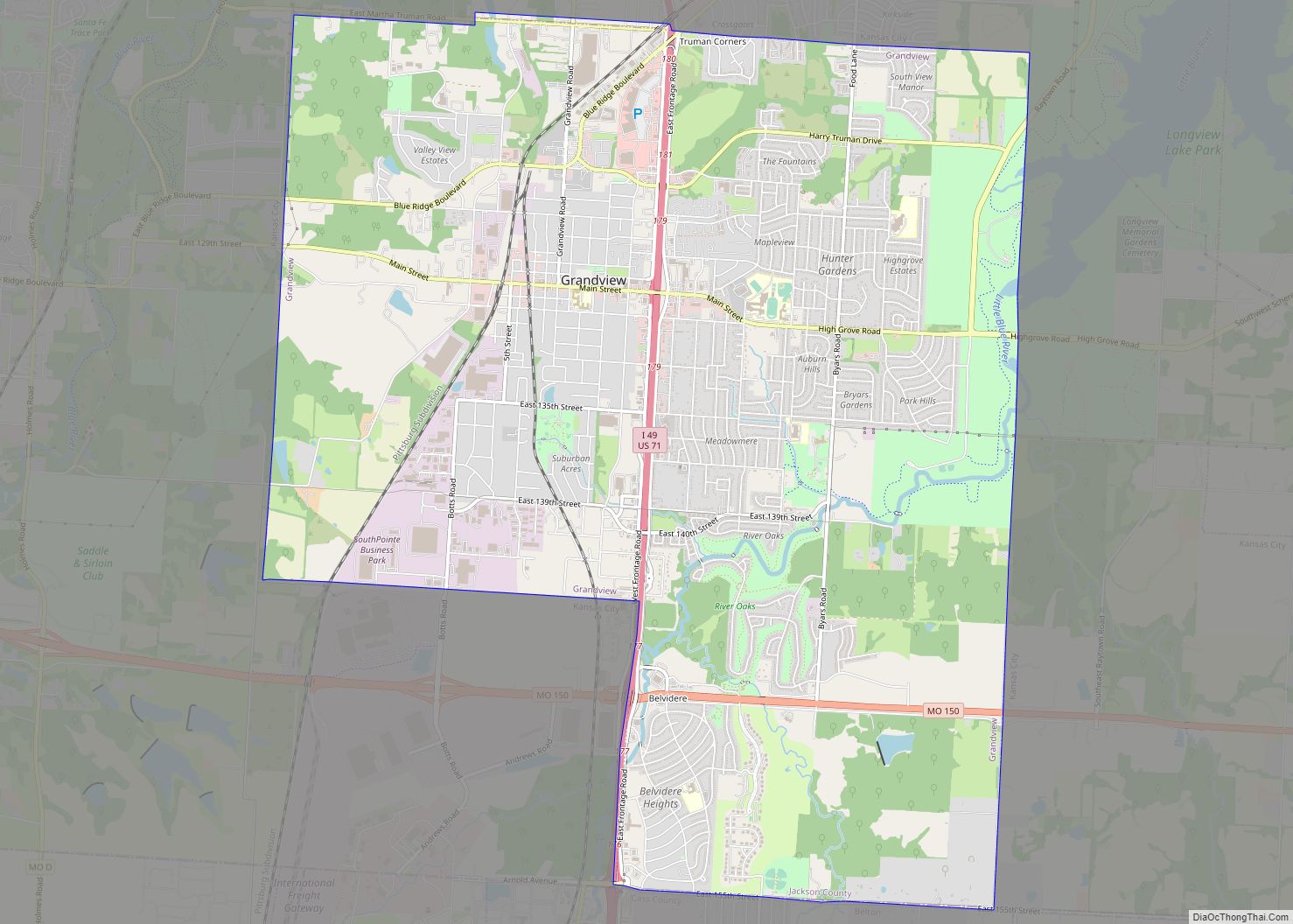
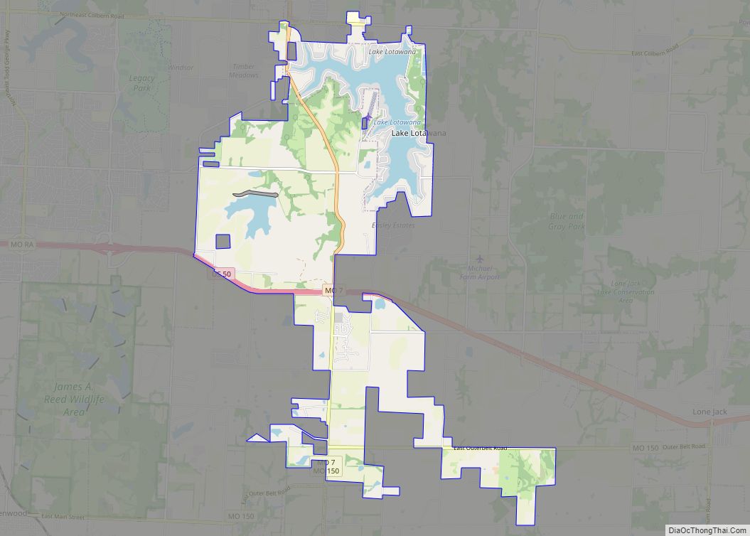
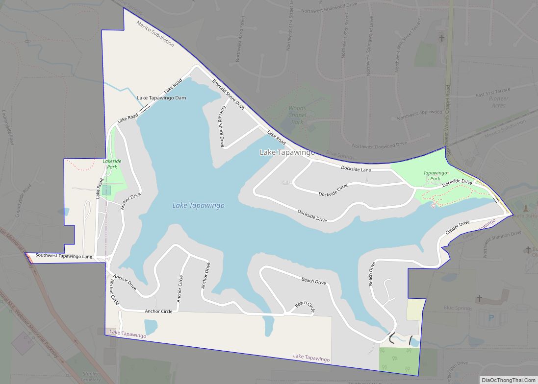
Online Interactive Map
Click on ![]() to view map in "full screen" mode.
to view map in "full screen" mode.
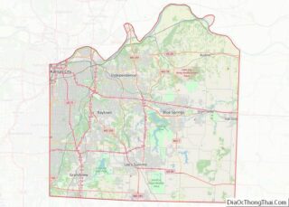
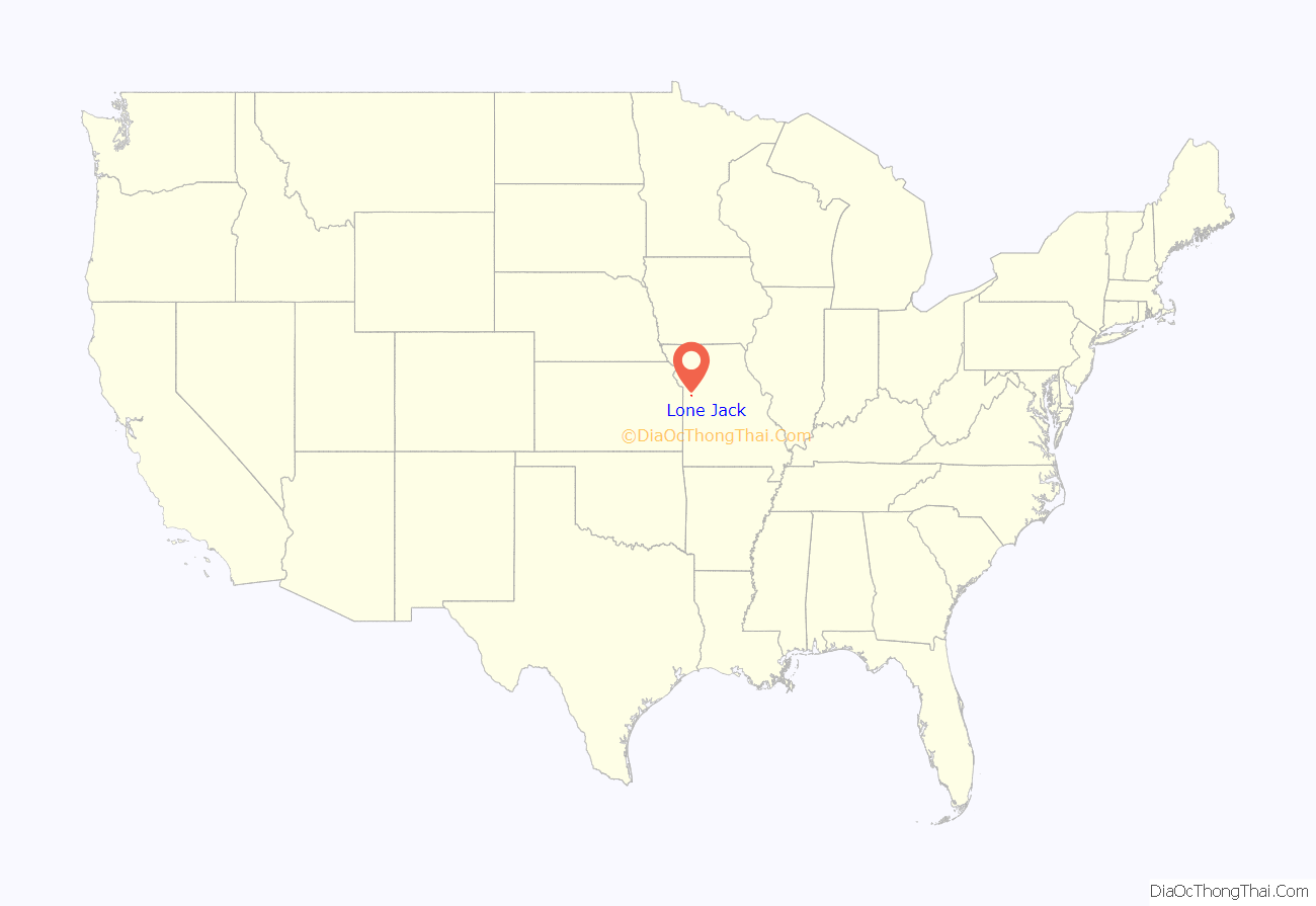
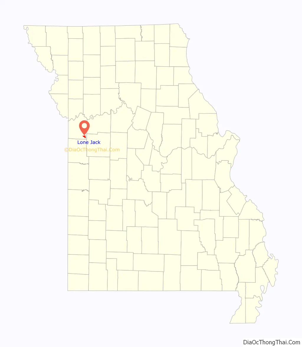
Lone Jack location map. Where is Lone Jack city?
History
Lone Jack was platted in 1841. Its name comes from a single black jack tree that stood as a local landmark. A post office has been in operation at Lone Jack since 1839.
On August 16, 1862, Federal troops were defeated in the Battle of Lone Jack by a much larger Confederate force. The fighting literally occurred on the main street and raged for five hours before the Federals withdrew. The Confederates were unable to hold the town following their victory because of converging Union forces from other commands.
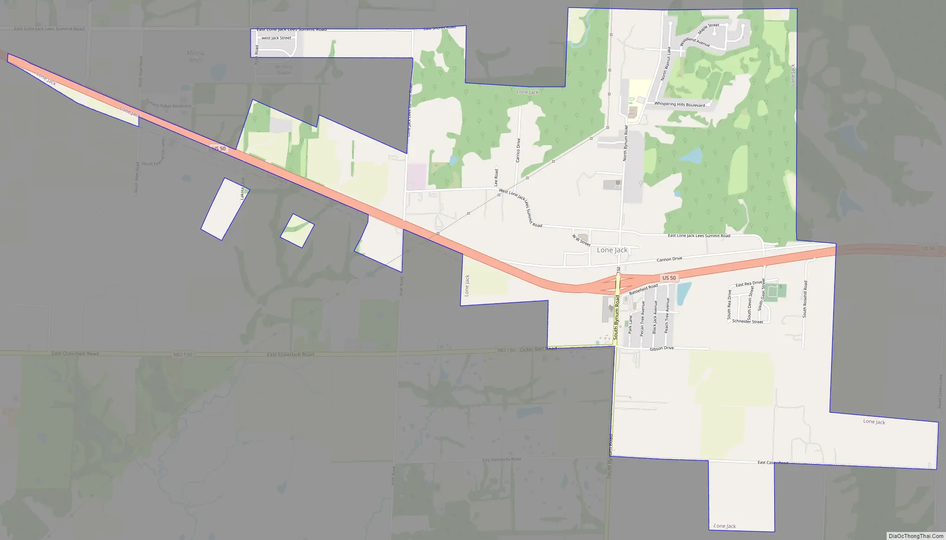
Lone Jack Road Map
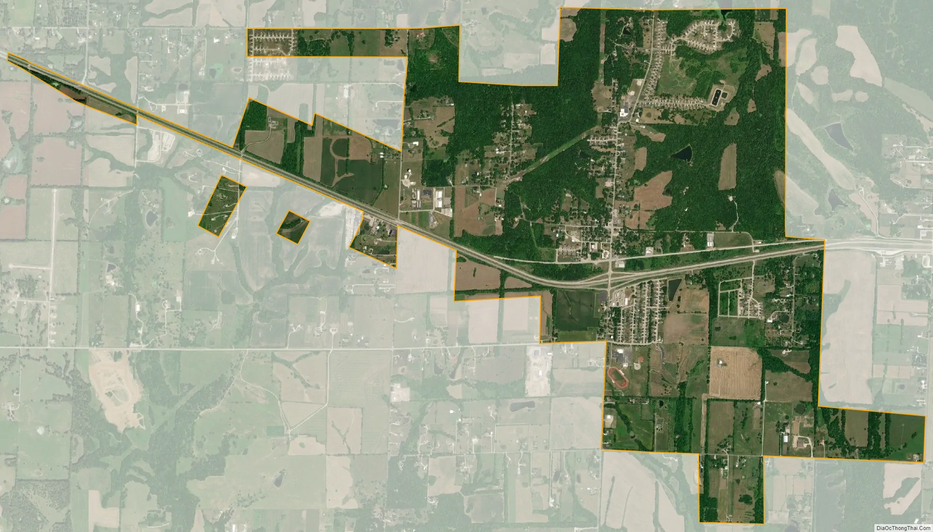
Lone Jack city Satellite Map
Geography
Lone Jack is located at 38°52′14″N 94°11′17″W / 38.87056°N 94.18806°W / 38.87056; -94.18806 (38.870516, -94.188174). According to the United States Census Bureau, the city has a total area of 3.75 square miles (9.71 km), all land.
See also
Map of Missouri State and its subdivision:- Adair
- Andrew
- Atchison
- Audrain
- Barry
- Barton
- Bates
- Benton
- Bollinger
- Boone
- Buchanan
- Butler
- Caldwell
- Callaway
- Camden
- Cape Girardeau
- Carroll
- Carter
- Cass
- Cedar
- Chariton
- Christian
- Clark
- Clay
- Clinton
- Cole
- Cooper
- Crawford
- Dade
- Dallas
- Daviess
- De Kalb
- Dent
- Douglas
- Dunklin
- Franklin
- Gasconade
- Gentry
- Greene
- Grundy
- Harrison
- Henry
- Hickory
- Holt
- Howard
- Howell
- Iron
- Jackson
- Jasper
- Jefferson
- Johnson
- Knox
- Laclede
- Lafayette
- Lawrence
- Lewis
- Lincoln
- Linn
- Livingston
- Macon
- Madison
- Maries
- Marion
- McDonald
- Mercer
- Miller
- Mississippi
- Moniteau
- Monroe
- Montgomery
- Morgan
- New Madrid
- Newton
- Nodaway
- Oregon
- Osage
- Ozark
- Pemiscot
- Perry
- Pettis
- Phelps
- Pike
- Platte
- Polk
- Pulaski
- Putnam
- Ralls
- Randolph
- Ray
- Reynolds
- Ripley
- Saint Charles
- Saint Clair
- Saint Francois
- Saint Louis
- Sainte Genevieve
- Saline
- Schuyler
- Scotland
- Scott
- Shannon
- Shelby
- Stoddard
- Stone
- Sullivan
- Taney
- Texas
- Vernon
- Warren
- Washington
- Wayne
- Webster
- Worth
- Wright
- Alabama
- Alaska
- Arizona
- Arkansas
- California
- Colorado
- Connecticut
- Delaware
- District of Columbia
- Florida
- Georgia
- Hawaii
- Idaho
- Illinois
- Indiana
- Iowa
- Kansas
- Kentucky
- Louisiana
- Maine
- Maryland
- Massachusetts
- Michigan
- Minnesota
- Mississippi
- Missouri
- Montana
- Nebraska
- Nevada
- New Hampshire
- New Jersey
- New Mexico
- New York
- North Carolina
- North Dakota
- Ohio
- Oklahoma
- Oregon
- Pennsylvania
- Rhode Island
- South Carolina
- South Dakota
- Tennessee
- Texas
- Utah
- Vermont
- Virginia
- Washington
- West Virginia
- Wisconsin
- Wyoming