Mendon is a city in western Chariton County, Missouri, United States. The population was 163 at the 2020 census.
| Name: | Mendon city |
|---|---|
| LSAD Code: | 25 |
| LSAD Description: | city (suffix) |
| State: | Missouri |
| County: | Chariton County |
| Elevation: | 705 ft (215 m) |
| Total Area: | 0.18 sq mi (0.46 km²) |
| Land Area: | 0.18 sq mi (0.46 km²) |
| Water Area: | 0.00 sq mi (0.00 km²) |
| Total Population: | 163 |
| Population Density: | 910.61/sq mi (350.68/km²) |
| ZIP code: | 64660 |
| Area code: | 660 |
| FIPS code: | 2947288 |
| GNISfeature ID: | 2395094 |
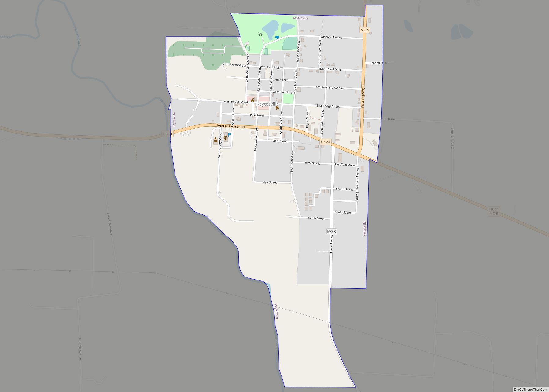
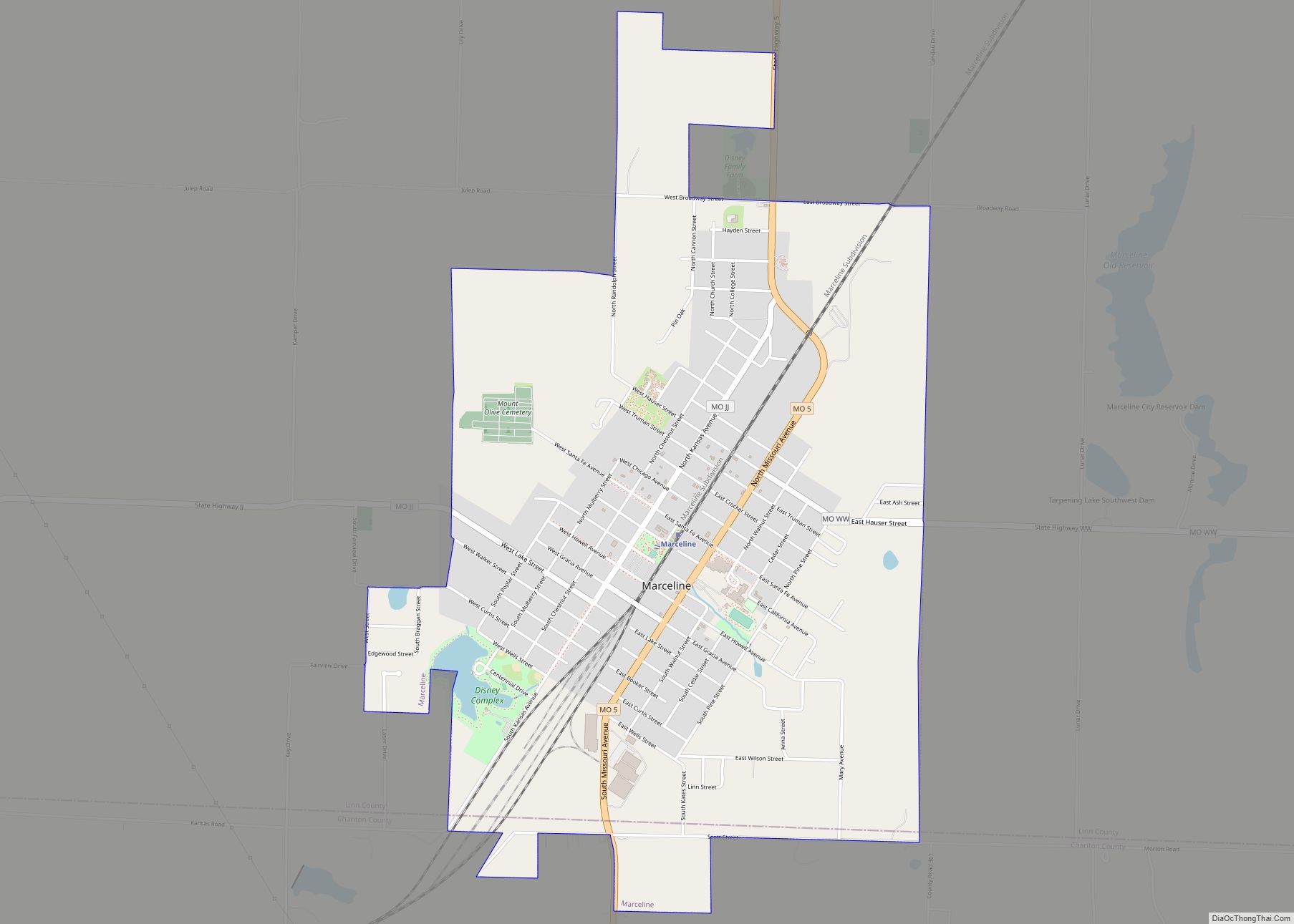
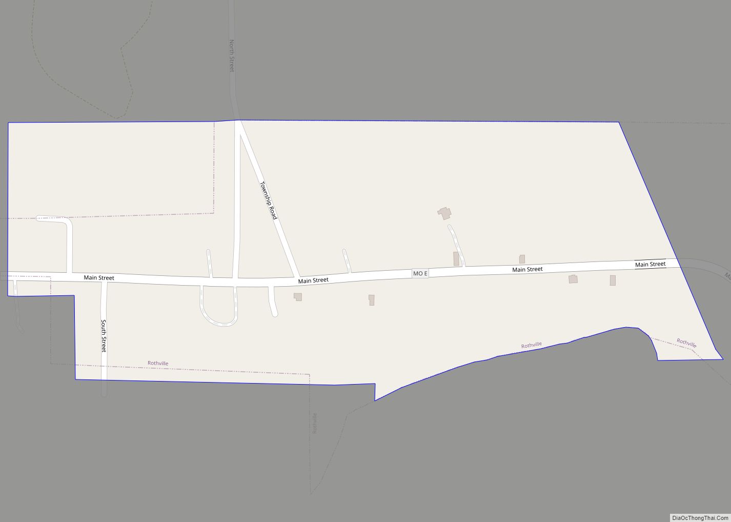
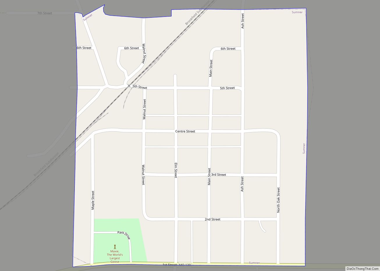
Online Interactive Map
Click on ![]() to view map in "full screen" mode.
to view map in "full screen" mode.
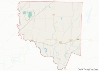
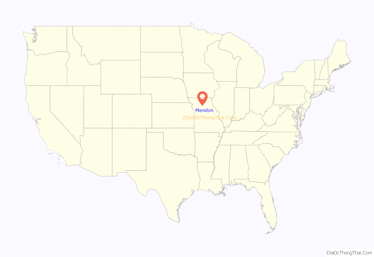
Mendon location map. Where is Mendon city?
History
Mendon was laid out in 1871 by Christopher Shupe. However, the area had previously had some homes, and businesses were in operation in the area several years prior to the town plat actually being filed. Among the earliest was a general store built around 1865 by Mr. Bostich and Mr. Eastman. In 1867, Jeremiah Andrews Felt, of Quincy, Adams County, Illinois, sent his twin sons, William Winsor Felt and Winslow Leach Felt, aged 22, with their 16-year-old brother George Washington Felt, to establish farms to the northwest of where the town would be laid out four years later. George went to Iowa and the twins acquired 320 acres from the Hannibal & St. Joseph Railroad, and were named as “farmers and stock-raisers being among the first settlers of the area.”
Winslow Leach, his wife Annetta Brown, and son Arthur Stanley died, and Charles Davis Felt, the youngest of the Felt brothers, came from Illinois to settle in 1880. He married Lydia McCarl, and they raised a son, Chester Arthur, and daughter, Adriana Francis. After the town moved, the family sold portions of its land upon which the high school was built.
With the coming of the Chicago, Santa Fe and California Railroad in the 1880s, the citizens of Mendon were faced with a monumental choice. The rail line was projected to pass by, over a mile away. Thus when the railroad tracks were laid in 1887 and 1888, a new Mendon was created at the current site, and the former location was mostly abandoned.
By 1899 the community contained over 20 stores, a school, a bank, and two hotels. A newspaper, the Mendon Citizen, was first published in 1886. The estimated population in the late 1890s was 350 residents.
On June 27, 2022, Amtrak’s Southwest Chief derailed nearly a mile southwest of Mendon, after hitting a dump truck.
Today
Although the Santa Fe railroad still passes through regularly, little remains of Mendon’s business community.
Education for the town and surrounding rural area is provided by Northwestern High School. The school’s athletic and academic teams compete in Missouri Class 1, the smallest of all classifications.
Mendon’s proximity to the Swan Lake National Wildlife Refuge has proven a source of income for the community, with business catering to waterfowl hunters who come to the region.
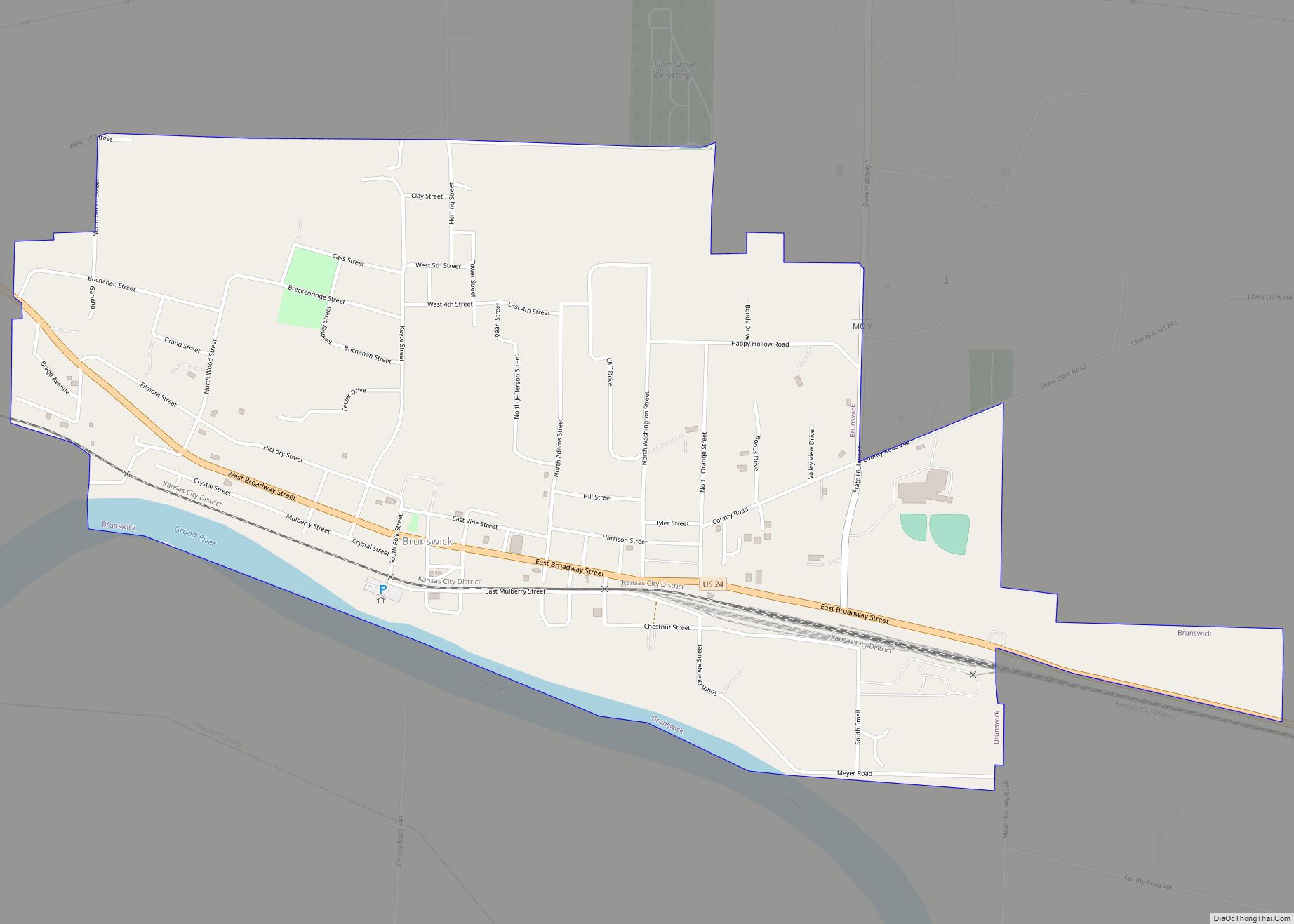
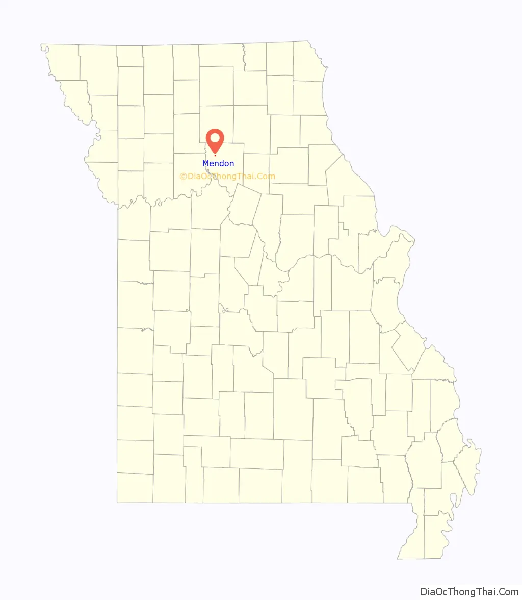
Mendon Road Map
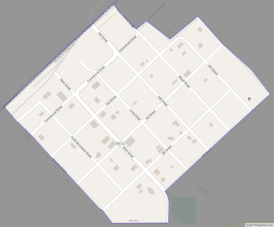
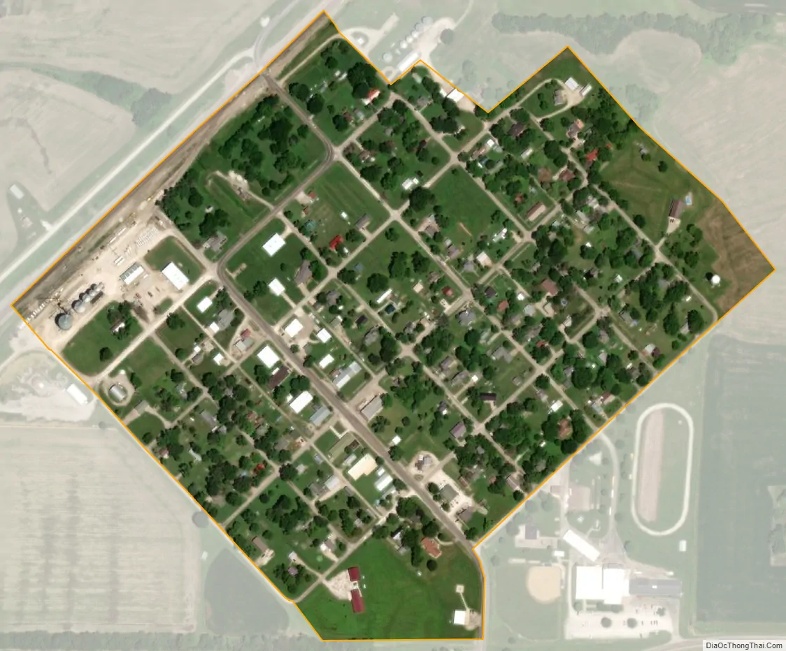
Mendon city Satellite Map
Geography
Mendon is located in western Chariton County on Missouri Route 11. Yellow Creek flows past the northwest side of the town and the Swan Lake National Wildlife Refuge is two miles west. The Atchison Topeka and Santa Fe Railroad line passes the northwest side of the community. This line is now owned by the BNSF Railway as the Southern Transcon. The Amtrak Southwest Chief passes through without stopping.
According to the United States Census Bureau, the city has a total area of 0.18 square miles (0.47 km), all land.
See also
Map of Missouri State and its subdivision:- Adair
- Andrew
- Atchison
- Audrain
- Barry
- Barton
- Bates
- Benton
- Bollinger
- Boone
- Buchanan
- Butler
- Caldwell
- Callaway
- Camden
- Cape Girardeau
- Carroll
- Carter
- Cass
- Cedar
- Chariton
- Christian
- Clark
- Clay
- Clinton
- Cole
- Cooper
- Crawford
- Dade
- Dallas
- Daviess
- De Kalb
- Dent
- Douglas
- Dunklin
- Franklin
- Gasconade
- Gentry
- Greene
- Grundy
- Harrison
- Henry
- Hickory
- Holt
- Howard
- Howell
- Iron
- Jackson
- Jasper
- Jefferson
- Johnson
- Knox
- Laclede
- Lafayette
- Lawrence
- Lewis
- Lincoln
- Linn
- Livingston
- Macon
- Madison
- Maries
- Marion
- McDonald
- Mercer
- Miller
- Mississippi
- Moniteau
- Monroe
- Montgomery
- Morgan
- New Madrid
- Newton
- Nodaway
- Oregon
- Osage
- Ozark
- Pemiscot
- Perry
- Pettis
- Phelps
- Pike
- Platte
- Polk
- Pulaski
- Putnam
- Ralls
- Randolph
- Ray
- Reynolds
- Ripley
- Saint Charles
- Saint Clair
- Saint Francois
- Saint Louis
- Sainte Genevieve
- Saline
- Schuyler
- Scotland
- Scott
- Shannon
- Shelby
- Stoddard
- Stone
- Sullivan
- Taney
- Texas
- Vernon
- Warren
- Washington
- Wayne
- Webster
- Worth
- Wright
- Alabama
- Alaska
- Arizona
- Arkansas
- California
- Colorado
- Connecticut
- Delaware
- District of Columbia
- Florida
- Georgia
- Hawaii
- Idaho
- Illinois
- Indiana
- Iowa
- Kansas
- Kentucky
- Louisiana
- Maine
- Maryland
- Massachusetts
- Michigan
- Minnesota
- Mississippi
- Missouri
- Montana
- Nebraska
- Nevada
- New Hampshire
- New Jersey
- New Mexico
- New York
- North Carolina
- North Dakota
- Ohio
- Oklahoma
- Oregon
- Pennsylvania
- Rhode Island
- South Carolina
- South Dakota
- Tennessee
- Texas
- Utah
- Vermont
- Virginia
- Washington
- West Virginia
- Wisconsin
- Wyoming