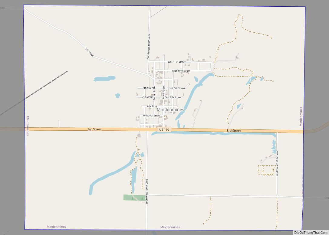
Mindenmines is a city in Barton County, Missouri, United States. The population was 271 at the 2020 census. The city lies approximately four miles east of Frontenac, Kansas. It has possessed a post office since 1883. It is also the home of the Bank of Minden. (named Tusconia 1883–1884, Minden Mines 1884–1895, and Mindenmines since 1895).
| Name: | Mindenmines city |
|---|---|
| LSAD Code: | 25 |
| LSAD Description: | city (suffix) |
| State: | Missouri |
| County: | Barton County |
| Elevation: | 971 ft (296 m) |
| Total Area: | 3.79 sq mi (9.82 km²) |
| Land Area: | 3.65 sq mi (9.45 km²) |
| Water Area: | 0.15 sq mi (0.38 km²) |
| Total Population: | 271 |
| Population Density: | 74.31/sq mi (28.69/km²) |
| ZIP code: | 64769 |
| Area code: | 417 |
| FIPS code: | 2948566 |
| GNISfeature ID: | 2395342 |
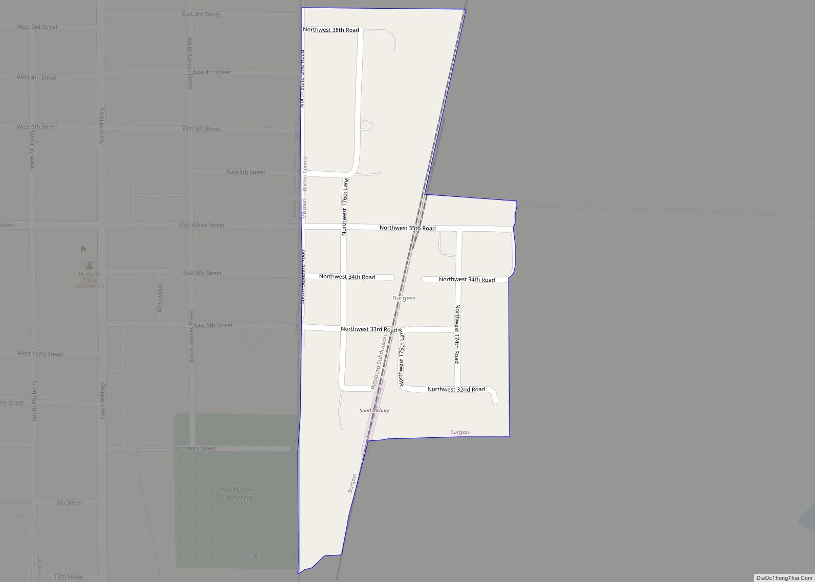
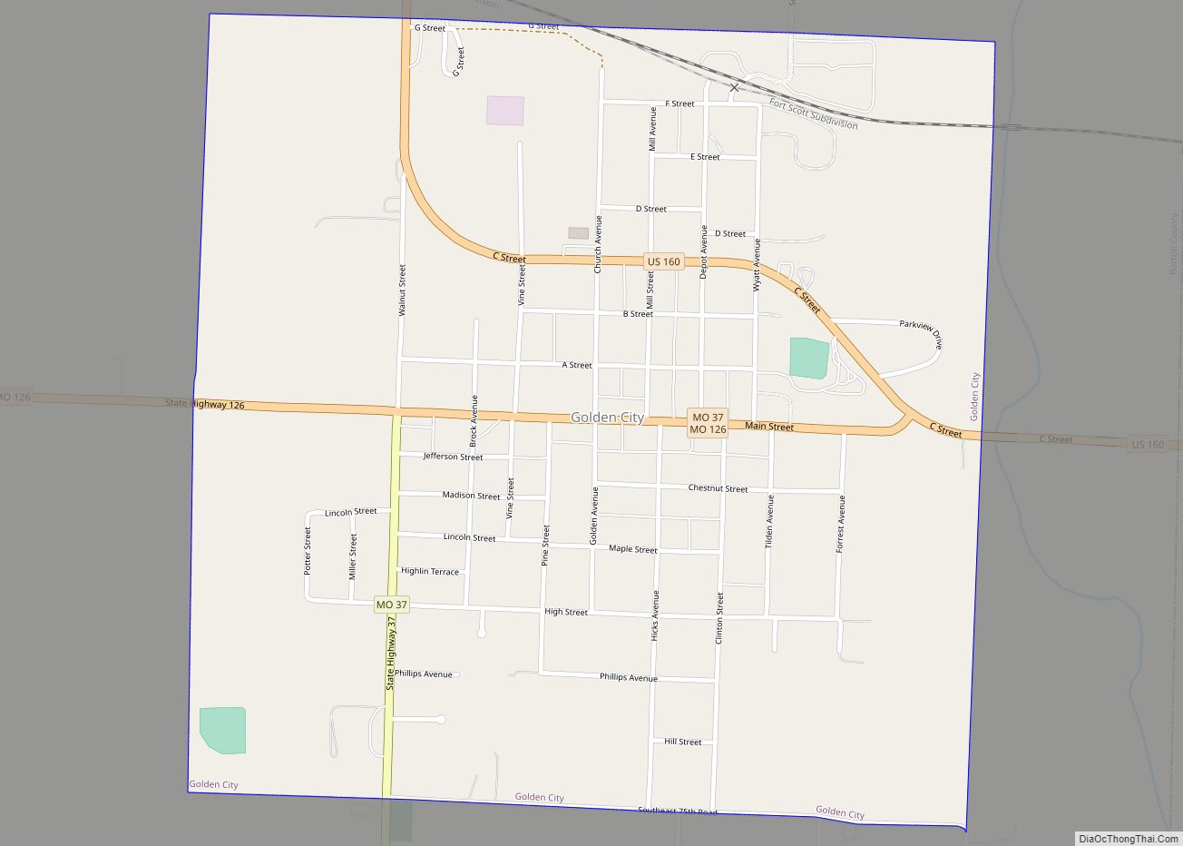
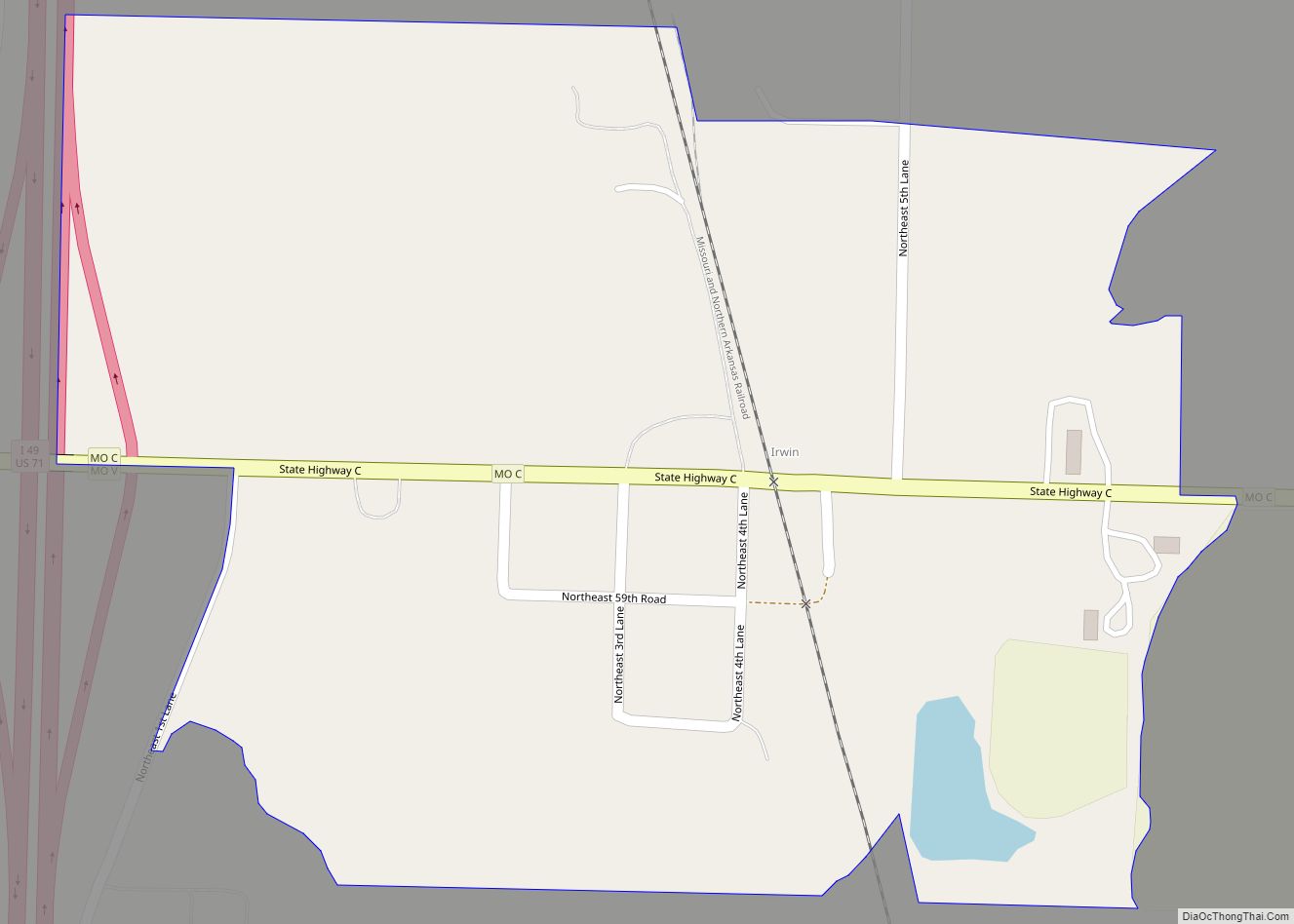
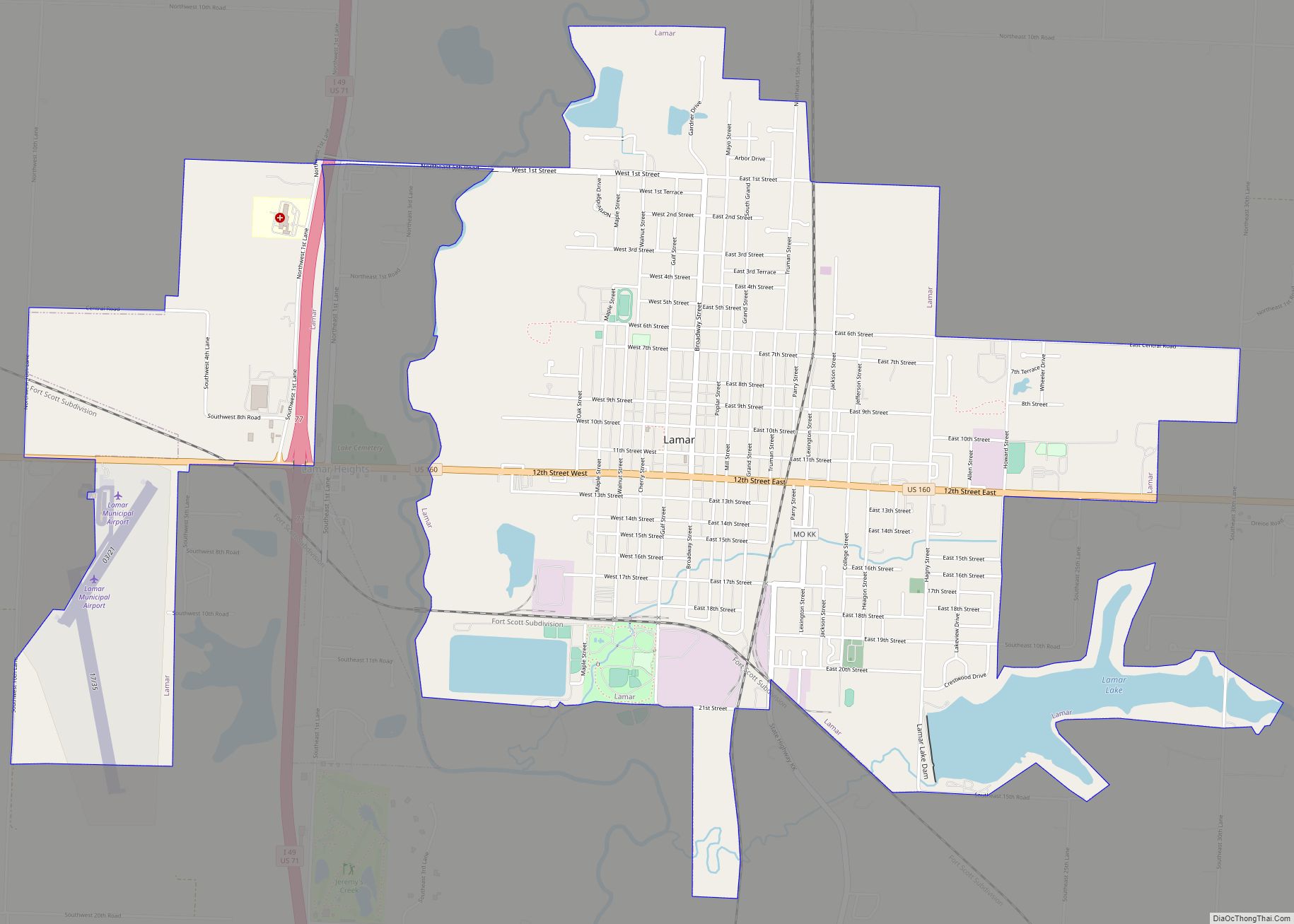
Online Interactive Map
Click on ![]() to view map in "full screen" mode.
to view map in "full screen" mode.
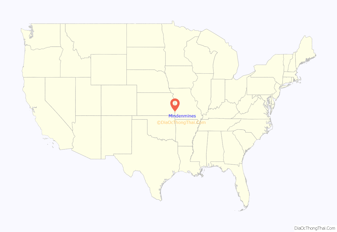
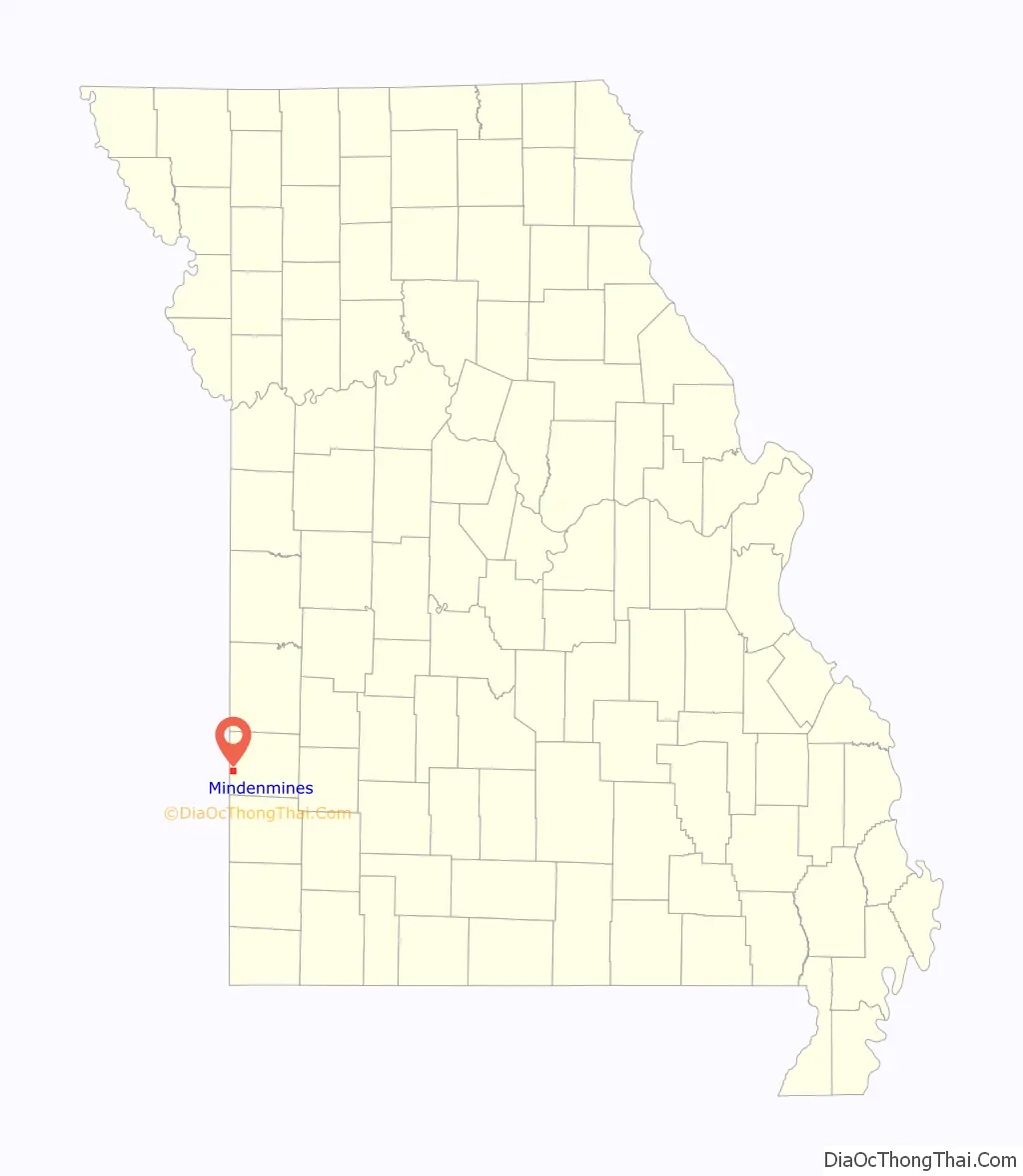
Mindenmines location map. Where is Mindenmines city?
History
The town was laid out by Captain J. R. Tucker, March 19, 1883 and named Minden. But only a year later the name was changed to Mindenmines (spelled Minden Mines from 1884 to 1895) because the mail got mixed up with that of Mendon, Missouri. The suffix was added because the chief occupation of the local inhabitants was coal mining.
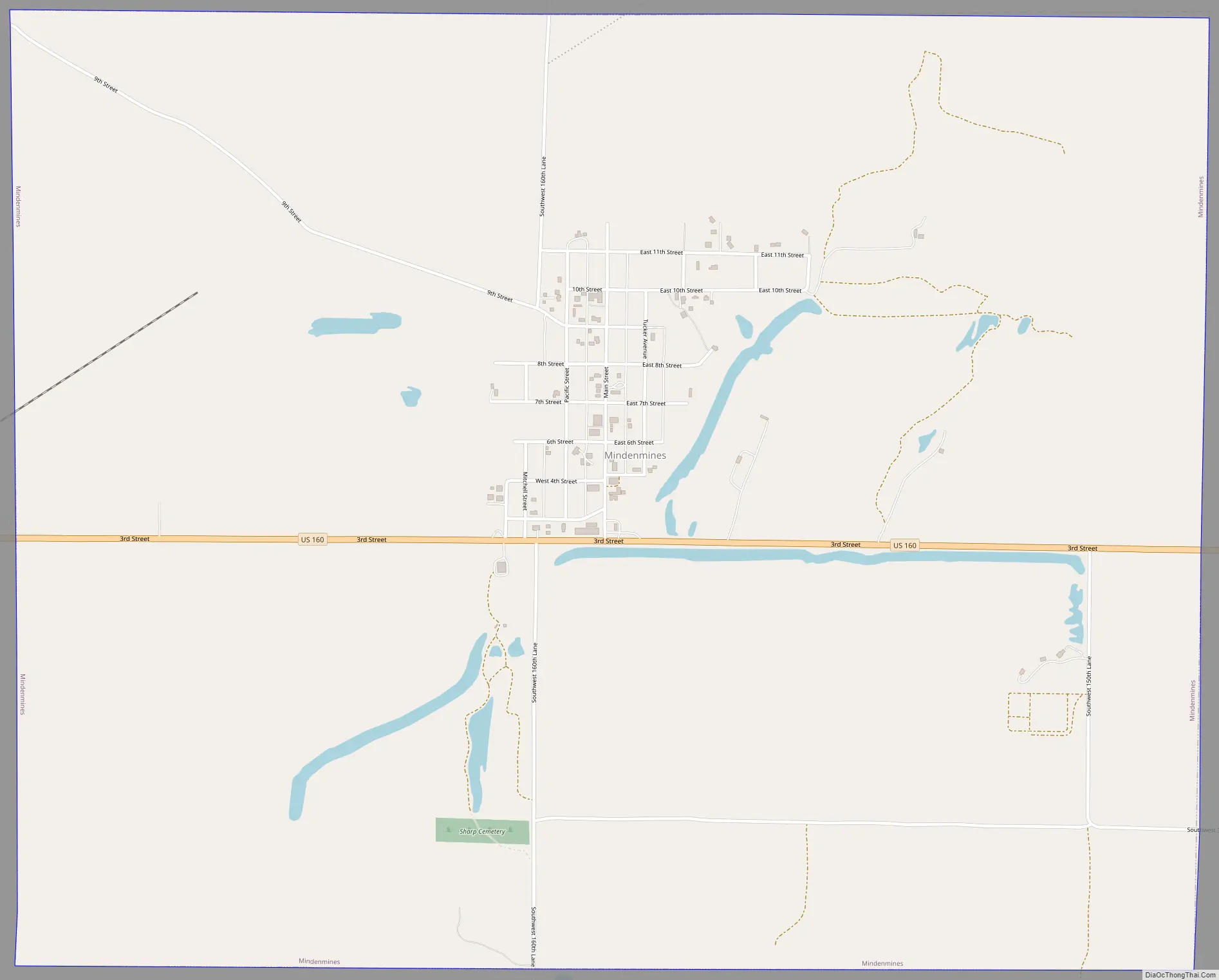
Mindenmines Road Map
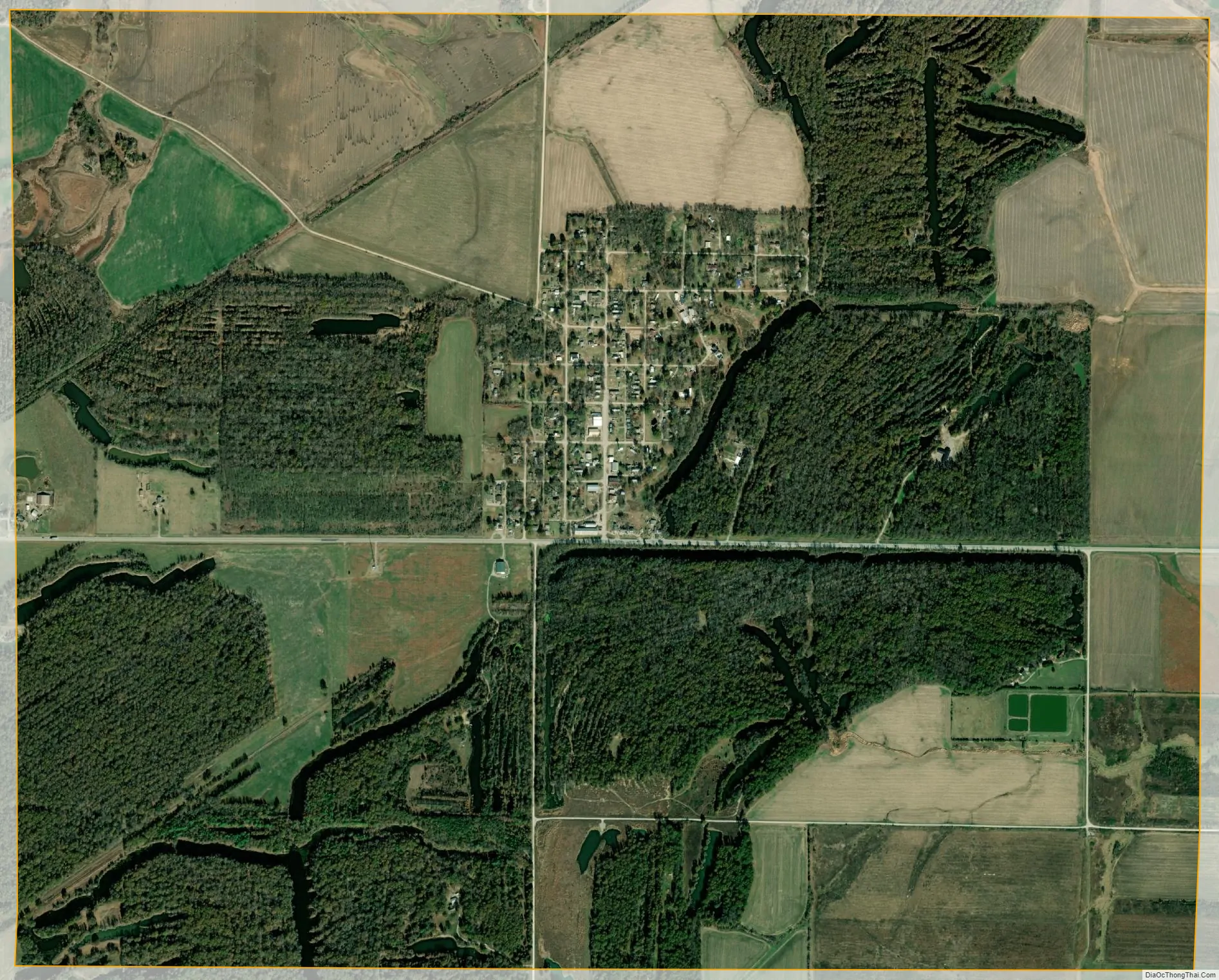
Mindenmines city Satellite Map
Geography
Mindenmines is located in western Barton County on US Route 160 16 miles west of Lamar. The Missouri-Kansas border lies 1.5 miles to the west.
According to the United States Census Bureau, the city has a total area of 3.80 square miles (9.84 km), of which 3.65 square miles (9.45 km) is land and 0.15 square miles (0.39 km) is water.
See also
Map of Missouri State and its subdivision:- Adair
- Andrew
- Atchison
- Audrain
- Barry
- Barton
- Bates
- Benton
- Bollinger
- Boone
- Buchanan
- Butler
- Caldwell
- Callaway
- Camden
- Cape Girardeau
- Carroll
- Carter
- Cass
- Cedar
- Chariton
- Christian
- Clark
- Clay
- Clinton
- Cole
- Cooper
- Crawford
- Dade
- Dallas
- Daviess
- De Kalb
- Dent
- Douglas
- Dunklin
- Franklin
- Gasconade
- Gentry
- Greene
- Grundy
- Harrison
- Henry
- Hickory
- Holt
- Howard
- Howell
- Iron
- Jackson
- Jasper
- Jefferson
- Johnson
- Knox
- Laclede
- Lafayette
- Lawrence
- Lewis
- Lincoln
- Linn
- Livingston
- Macon
- Madison
- Maries
- Marion
- McDonald
- Mercer
- Miller
- Mississippi
- Moniteau
- Monroe
- Montgomery
- Morgan
- New Madrid
- Newton
- Nodaway
- Oregon
- Osage
- Ozark
- Pemiscot
- Perry
- Pettis
- Phelps
- Pike
- Platte
- Polk
- Pulaski
- Putnam
- Ralls
- Randolph
- Ray
- Reynolds
- Ripley
- Saint Charles
- Saint Clair
- Saint Francois
- Saint Louis
- Sainte Genevieve
- Saline
- Schuyler
- Scotland
- Scott
- Shannon
- Shelby
- Stoddard
- Stone
- Sullivan
- Taney
- Texas
- Vernon
- Warren
- Washington
- Wayne
- Webster
- Worth
- Wright
- Alabama
- Alaska
- Arizona
- Arkansas
- California
- Colorado
- Connecticut
- Delaware
- District of Columbia
- Florida
- Georgia
- Hawaii
- Idaho
- Illinois
- Indiana
- Iowa
- Kansas
- Kentucky
- Louisiana
- Maine
- Maryland
- Massachusetts
- Michigan
- Minnesota
- Mississippi
- Missouri
- Montana
- Nebraska
- Nevada
- New Hampshire
- New Jersey
- New Mexico
- New York
- North Carolina
- North Dakota
- Ohio
- Oklahoma
- Oregon
- Pennsylvania
- Rhode Island
- South Carolina
- South Dakota
- Tennessee
- Texas
- Utah
- Vermont
- Virginia
- Washington
- West Virginia
- Wisconsin
- Wyoming