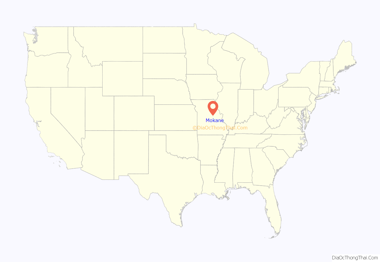
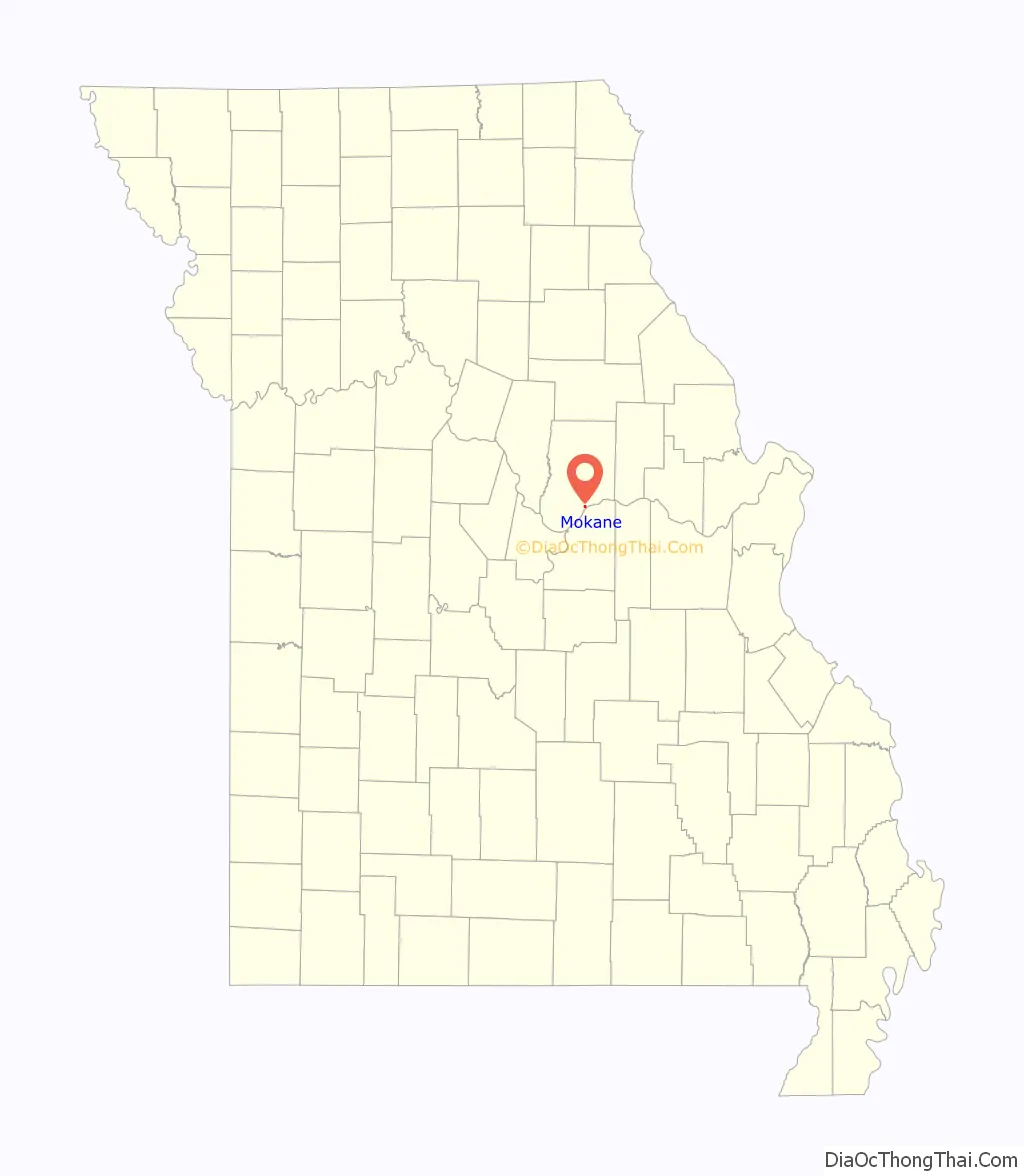
Mokane is a small city in southern Callaway County, Missouri, United States. The population was 185 at the 2010 census. It is part of the Jefferson City Metropolitan Statistical Area.
| Name: | Mokane city |
|---|---|
| LSAD Code: | 25 |
| LSAD Description: | city (suffix) |
| State: | Missouri |
| County: | Callaway County |
| Elevation: | 532 ft (162 m) |
| Total Area: | 0.29 sq mi (0.76 km²) |
| Land Area: | 0.29 sq mi (0.76 km²) |
| Water Area: | 0.00 sq mi (0.00 km²) |
| Total Population: | 188 |
| Population Density: | 641.64/sq mi (247.66/km²) |
| ZIP code: | 65059 |
| Area code: | 573 |
| FIPS code: | 2949070 |
| GNISfeature ID: | 2395364 |
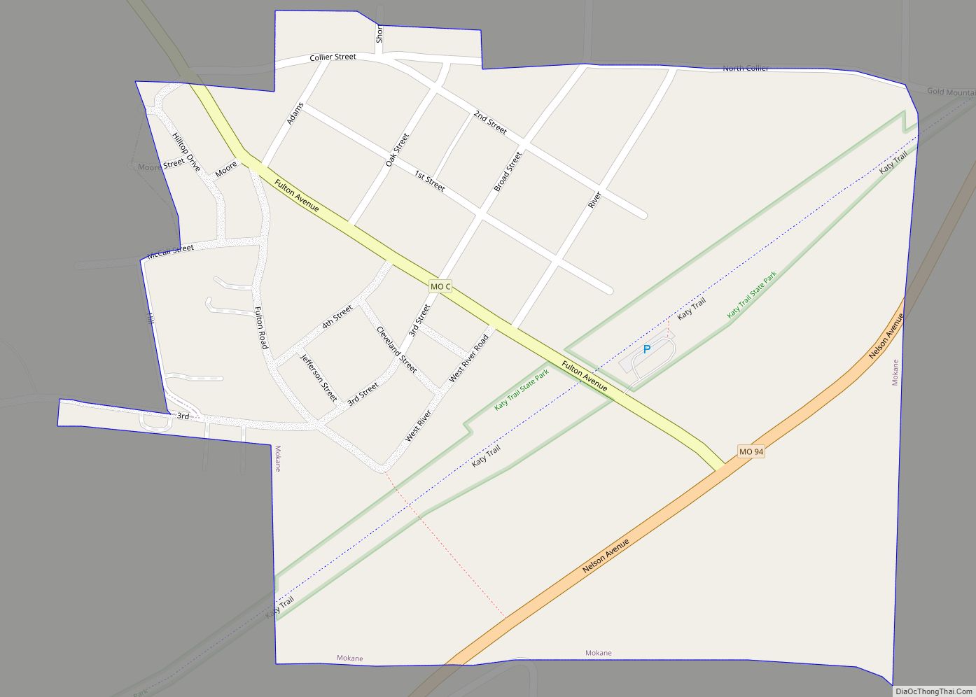
Online Interactive Map
Click on ![]() to view map in "full screen" mode.
to view map in "full screen" mode.
Mokane location map. Where is Mokane city?
History
The settlement was first named Smith’s Landing, after Thomas Smith, who settled there around 1818, and is said to be the second- or third-oldest town in Callaway County. The settlement later took on the name Saint Aubert around the time a post office was built there in 1849. Official Callaway County maps of 1876 show St. Aubert, which was also the name of its township area. The town was still referred to as Saint Aubert when Livingston’s “History of Northeast Missouri” went to press in 1883 or 1884.
On July 1, 1893, the Missouri, Kansas and Eastern Railway, a subsidiary of the MKT Missouri-Kansas-Texas Railroad, took possession of the rail line that passed through the town to Saint Louis. The line included a station stop. Within a few years, the town received a new name based on the name of the railroad: Mo., Kan. & E. In 1897, Callaway County’ official map shows the town named “Mokane”. Compared to the 1876 map, it also moves the town one land section northward, due to the inundation of old Saint Aubert.
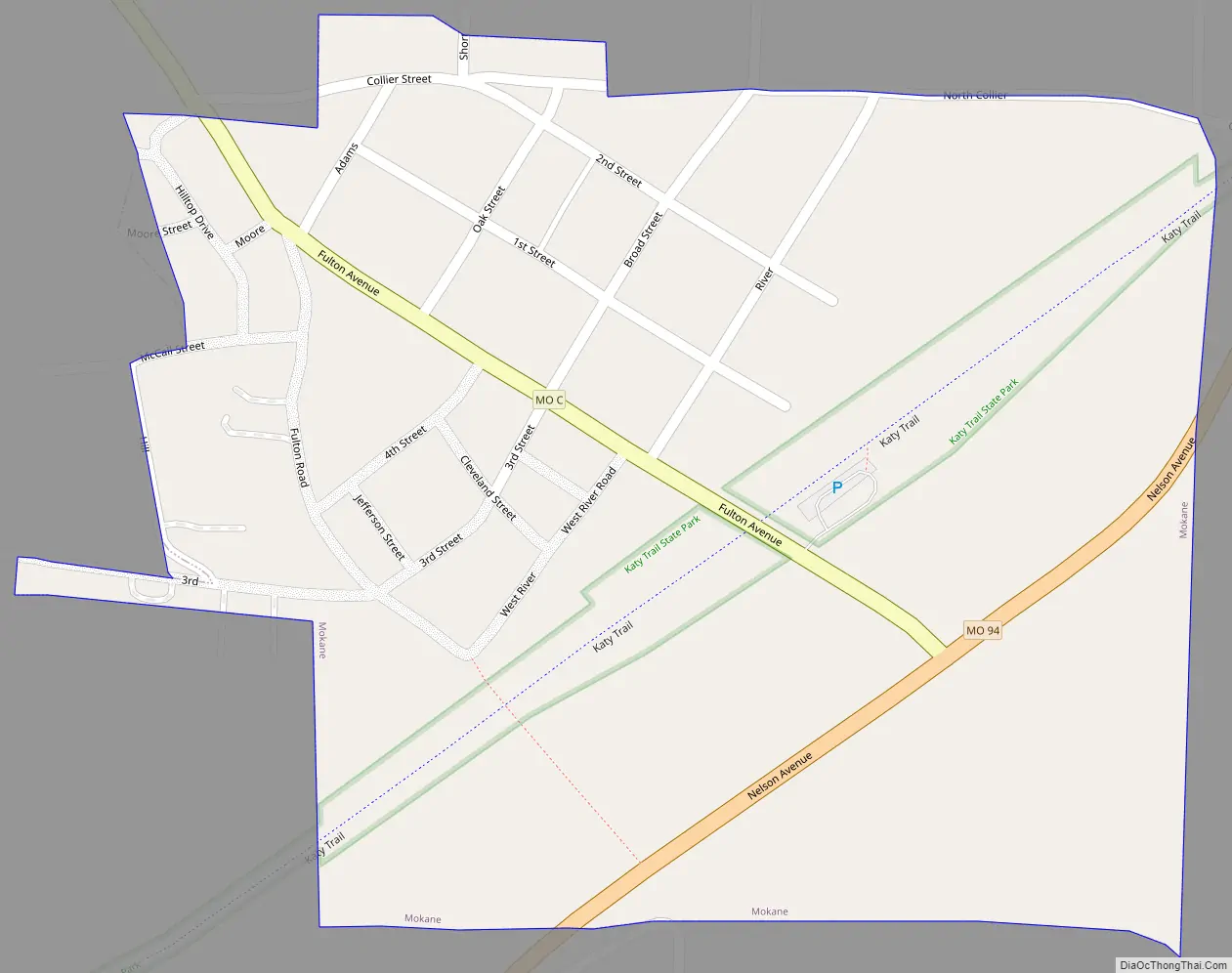
Mokane Road Map
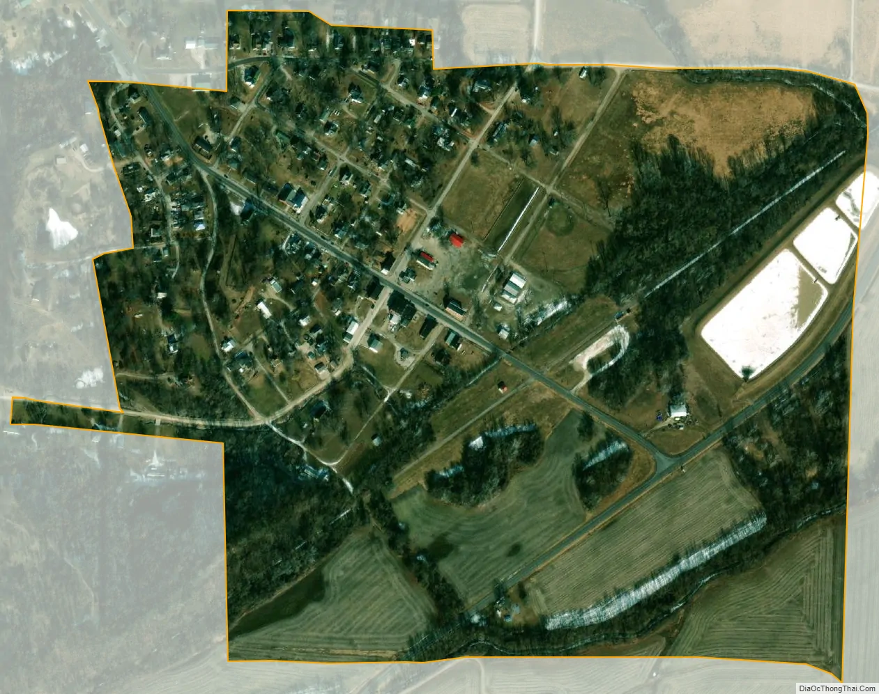
Mokane city Satellite Map
Geography
Mokane is located on the north side of the Missouri River valley along Missouri Route 94 between Tebbetts to the southwest and Steedman to the northeast. Fulton lies about twelve miles to the north along Missouri Route C. The Katy Trail, a rails-to-trails hiking/biking path, runs through the town, which stands at mile 125.
According to the United States Census Bureau, the city has a total area of 0.29 square miles (0.75 km), all land.
See also
Map of Missouri State and its subdivision:- Adair
- Andrew
- Atchison
- Audrain
- Barry
- Barton
- Bates
- Benton
- Bollinger
- Boone
- Buchanan
- Butler
- Caldwell
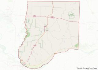
- Callaway
- Camden
- Cape Girardeau
- Carroll
- Carter
- Cass
- Cedar
- Chariton
- Christian
- Clark
- Clay
- Clinton
- Cole
- Cooper
- Crawford
- Dade
- Dallas
- Daviess
- De Kalb
- Dent
- Douglas
- Dunklin
- Franklin
- Gasconade
- Gentry
- Greene
- Grundy
- Harrison
- Henry
- Hickory
- Holt
- Howard
- Howell
- Iron
- Jackson
- Jasper
- Jefferson
- Johnson
- Knox
- Laclede
- Lafayette
- Lawrence
- Lewis
- Lincoln
- Linn
- Livingston
- Macon
- Madison
- Maries
- Marion
- McDonald
- Mercer
- Miller
- Mississippi
- Moniteau
- Monroe
- Montgomery
- Morgan
- New Madrid
- Newton
- Nodaway
- Oregon
- Osage
- Ozark
- Pemiscot
- Perry
- Pettis
- Phelps
- Pike
- Platte
- Polk
- Pulaski
- Putnam
- Ralls
- Randolph
- Ray
- Reynolds
- Ripley
- Saint Charles
- Saint Clair
- Saint Francois
- Saint Louis
- Sainte Genevieve
- Saline
- Schuyler
- Scotland
- Scott
- Shannon
- Shelby
- Stoddard
- Stone
- Sullivan
- Taney
- Texas
- Vernon
- Warren
- Washington
- Wayne
- Webster
- Worth
- Wright
- Alabama
- Alaska
- Arizona
- Arkansas
- California
- Colorado
- Connecticut
- Delaware
- District of Columbia
- Florida
- Georgia
- Hawaii
- Idaho
- Illinois
- Indiana
- Iowa
- Kansas
- Kentucky
- Louisiana
- Maine
- Maryland
- Massachusetts
- Michigan
- Minnesota
- Mississippi
- Missouri
- Montana
- Nebraska
- Nevada
- New Hampshire
- New Jersey
- New Mexico
- New York
- North Carolina
- North Dakota
- Ohio
- Oklahoma
- Oregon
- Pennsylvania
- Rhode Island
- South Carolina
- South Dakota
- Tennessee
- Texas
- Utah
- Vermont
- Virginia
- Washington
- West Virginia
- Wisconsin
- Wyoming