Napoleon is a city in Lafayette County, Missouri, and part of the Kansas City metropolitan area within the United States. It is located approximately 30 miles (48 km) east of Kansas City. The population was 222 at the 2010 census.
| Name: | Napoleon city |
|---|---|
| LSAD Code: | 25 |
| LSAD Description: | city (suffix) |
| State: | Missouri |
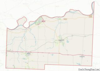
| County: | Lafayette County |
| Elevation: | 843 ft (257 m) |
| Total Area: | 1.75 sq mi (4.53 km²) |
| Land Area: | 1.75 sq mi (4.53 km²) |
| Water Area: | 0.00 sq mi (0.01 km²) |
| Total Population: | 211 |
| Population Density: | 120.71/sq mi (46.61/km²) |
| ZIP code: | 64074 |
| Area code: | 816 |
| FIPS code: | 2951140 |
| GNISfeature ID: | 2395149 |
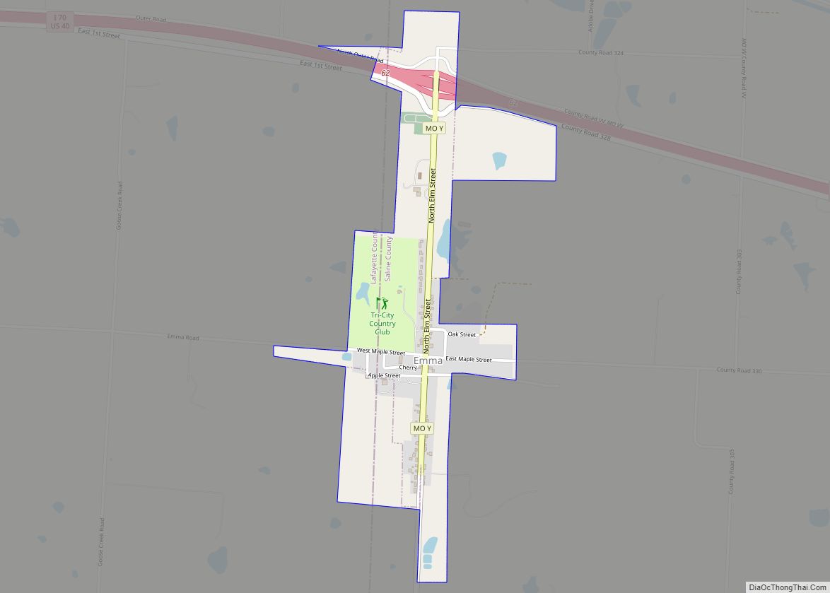
Online Interactive Map
Click on ![]() to view map in "full screen" mode.
to view map in "full screen" mode.
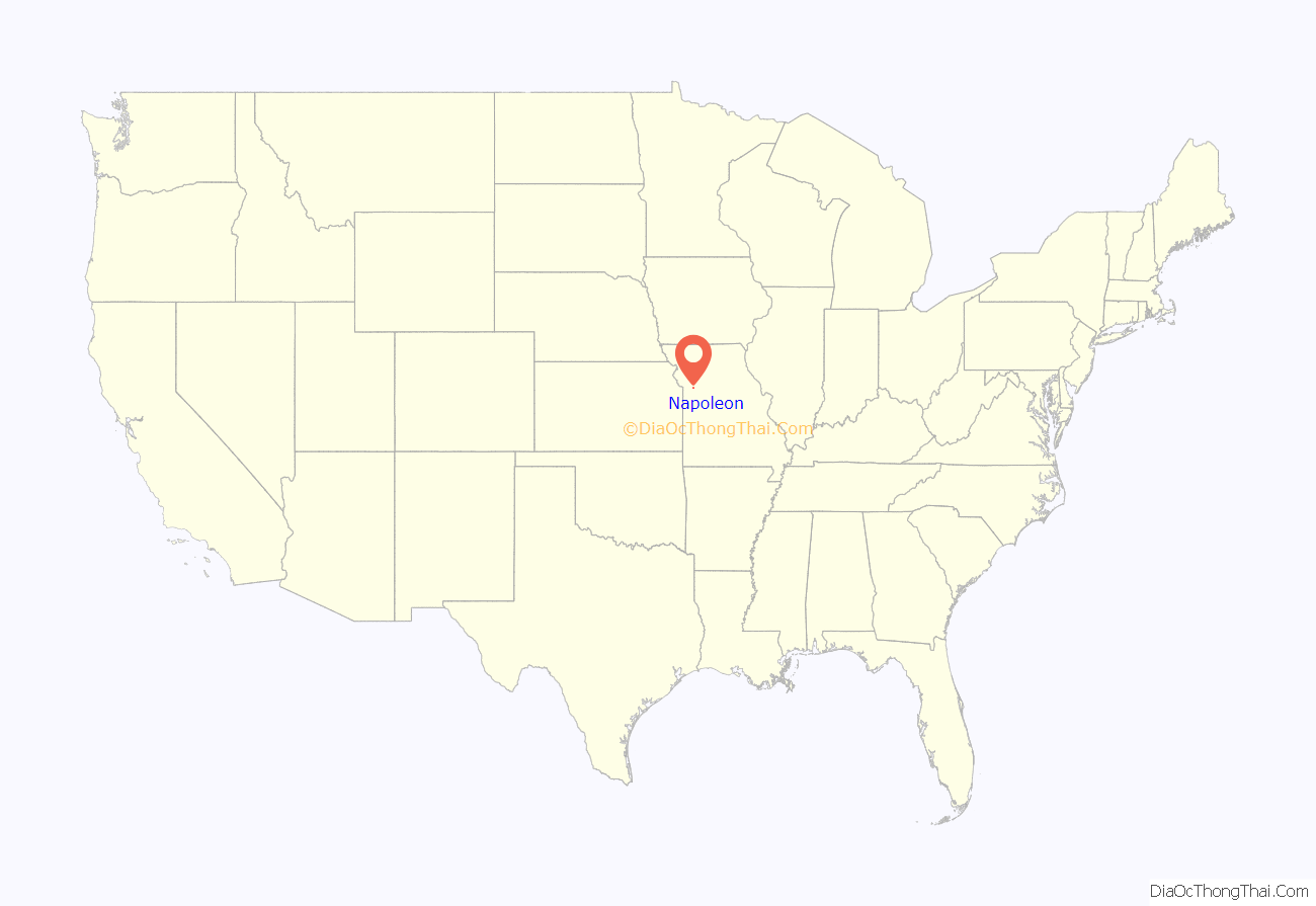
Napoleon location map. Where is Napoleon city?
History
Napoleon was laid out in 1836, and most likely was named after Napoleon Bonaparte. A post office has been in operation at Napoleon since 1858.
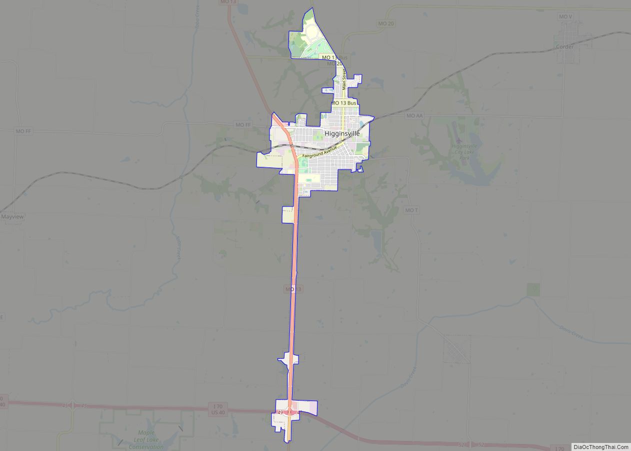
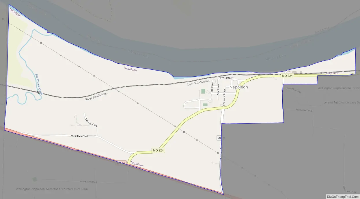
Napoleon Road Map
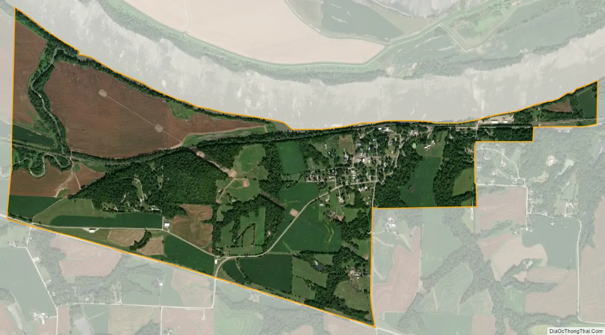
Napoleon city Satellite Map
Geography
According to the United States Census Bureau, the city has a total area of 1.75 square miles (4.53 km), all land.
Napoleon lies just a few miles west of Wellington, the two towns having been named after the commanders at the Battle of Waterloo. Approximately halfway between the two towns lies a small, unincorporated crossroads called “Waterloo”.
Napoleon is located in the northwestern corner of Lafayette County and bordered on the north side by the Missouri River and on the south side by U.S. Route 24 and on the west by Jackson County. It is approximately 40 miles (64 km) east of the Kansas/Missouri line on the south side of the Missouri River and about 6 miles (9.7 km) east of the Independence city limits as of this writing. The town measures about 2.5 miles (4.0 km) east to west and about 1 mile (1.6 km) north to south at its widest point.
See also
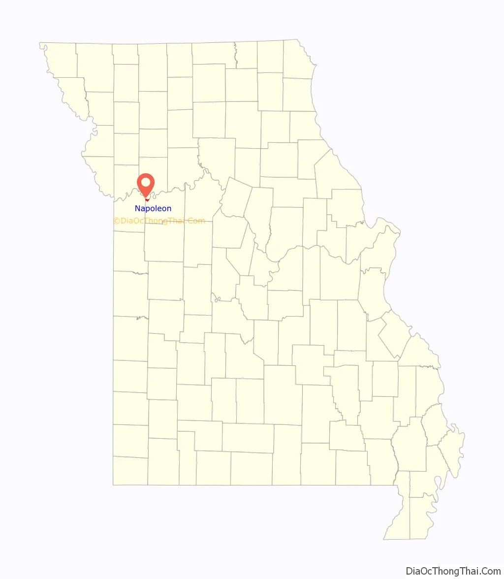
Map of Missouri State and its subdivision:- Adair
- Andrew
- Atchison
- Audrain
- Barry
- Barton
- Bates
- Benton
- Bollinger
- Boone
- Buchanan
- Butler
- Caldwell
- Callaway
- Camden
- Cape Girardeau
- Carroll
- Carter
- Cass
- Cedar
- Chariton
- Christian
- Clark
- Clay
- Clinton
- Cole
- Cooper
- Crawford
- Dade
- Dallas
- Daviess
- De Kalb
- Dent
- Douglas
- Dunklin
- Franklin
- Gasconade
- Gentry
- Greene
- Grundy
- Harrison
- Henry
- Hickory
- Holt
- Howard
- Howell
- Iron
- Jackson
- Jasper
- Jefferson
- Johnson
- Knox
- Laclede
- Lafayette
- Lawrence
- Lewis
- Lincoln
- Linn
- Livingston
- Macon
- Madison
- Maries
- Marion
- McDonald
- Mercer
- Miller
- Mississippi
- Moniteau
- Monroe
- Montgomery
- Morgan
- New Madrid
- Newton
- Nodaway
- Oregon
- Osage
- Ozark
- Pemiscot
- Perry
- Pettis
- Phelps
- Pike
- Platte
- Polk
- Pulaski
- Putnam
- Ralls
- Randolph
- Ray
- Reynolds
- Ripley
- Saint Charles
- Saint Clair
- Saint Francois
- Saint Louis
- Sainte Genevieve
- Saline
- Schuyler
- Scotland
- Scott
- Shannon
- Shelby
- Stoddard
- Stone
- Sullivan
- Taney
- Texas
- Vernon
- Warren
- Washington
- Wayne
- Webster
- Worth
- Wright
- Alabama
- Alaska
- Arizona
- Arkansas
- California
- Colorado
- Connecticut
- Delaware
- District of Columbia
- Florida
- Georgia
- Hawaii
- Idaho
- Illinois
- Indiana
- Iowa
- Kansas
- Kentucky
- Louisiana
- Maine
- Maryland
- Massachusetts
- Michigan
- Minnesota
- Mississippi
- Missouri
- Montana
- Nebraska
- Nevada
- New Hampshire
- New Jersey
- New Mexico
- New York
- North Carolina
- North Dakota
- Ohio
- Oklahoma
- Oregon
- Pennsylvania
- Rhode Island
- South Carolina
- South Dakota
- Tennessee
- Texas
- Utah
- Vermont
- Virginia
- Washington
- West Virginia
- Wisconsin
- Wyoming