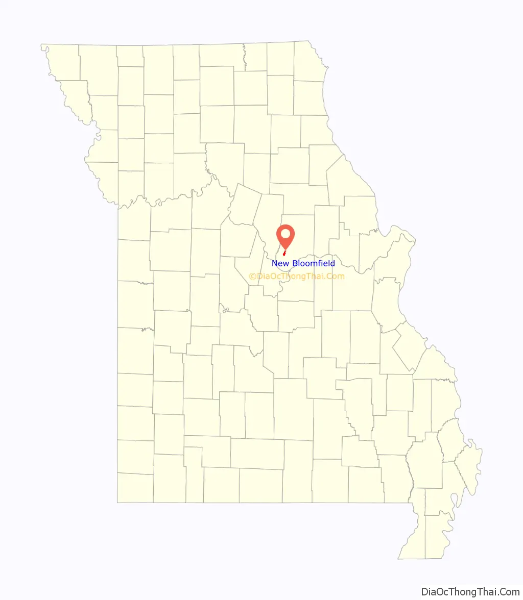
New Bloomfield is a city in Cedar Township, Callaway County, Missouri, United States. The population was 669 at the 2010 census. It is part of the Jefferson City Metropolitan Statistical Area.
| Name: | New Bloomfield city |
|---|---|
| LSAD Code: | 25 |
| LSAD Description: | city (suffix) |
| State: | Missouri |
| County: | Callaway County |
| Elevation: | 869 ft (265 m) |
| Total Area: | 1.57 sq mi (4.07 km²) |
| Land Area: | 1.54 sq mi (4.00 km²) |
| Water Area: | 0.03 sq mi (0.07 km²) |
| Total Population: | 687 |
| Population Density: | 444.66/sq mi (171.67/km²) |
| ZIP code: | 65063 |
| Area code: | 573 |
| FIPS code: | 2951680 |
| GNISfeature ID: | 2395185 |
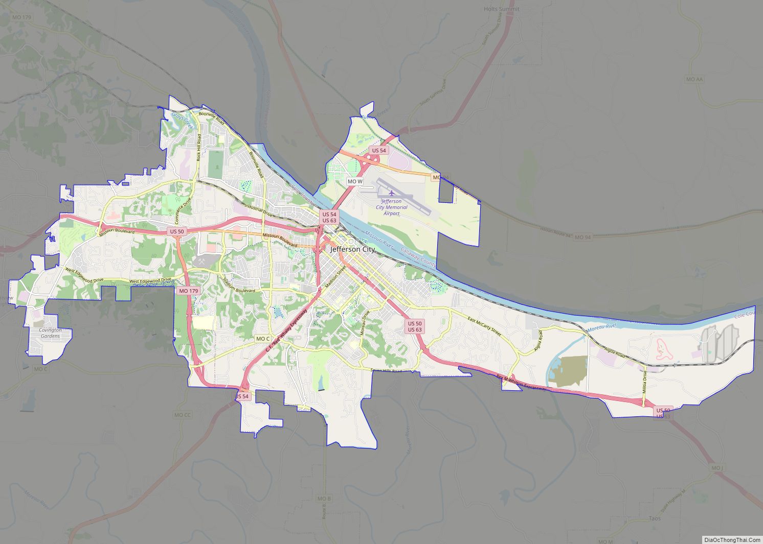
Online Interactive Map
Click on ![]() to view map in "full screen" mode.
to view map in "full screen" mode.
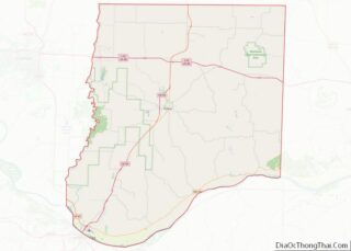
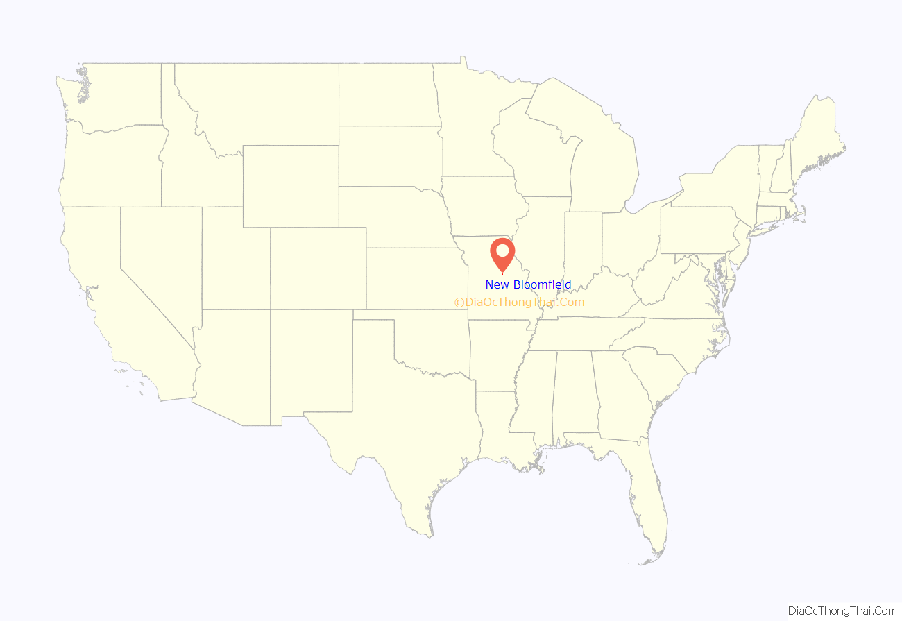
New Bloomfield location map. Where is New Bloomfield city?
History
In 1827, a ‘Round Prairie Post Office’ was opened northwest of New Bloomfield, near what became Guthrie almost 50 years later, and near the southern border of a much larger historic Round Prairie Township (subdivided around 1890 to create what then became the northern portion of Guthrie Township).
In 1836, a historic town of ‘Bloomfield’, next to or containing the Round Prairie Post Office, was first surveyed.
In 1841, the Round Prairie Post Office was shut down and moved about 1/2 mile southward, clearly into Cedar Township, and was renamed ‘New Bloomfield Post Office’, around which today’s town of New Bloomfield formed. The official establishment of the town of Guthrie as ‘Bigbee’ and a new Guthrie Post Office (closed in 1954) followed in 1872 and 1874. The Chicago & Alton Railroad went from the Missouri riverport at Cedar City, through Holts Summit, then New Bloomfield and Guthrie, then veered northeast toward Carrington, then Fulton, then McCredie, Auxvasse, and into Audrain County and the city of Mexico, and thereafter toward Illinois and Chicago to the east, or to Kansas City to the west. Connection to St Louis was made via locations across the Mississippi River in Illinois until the MKT railroad was built in the 1890s. A ferry boat connected the Cedar City railway station to Jefferson City until a bridge was built in 1896. The New Bloomfield railroad station was located in what is now the New Bloomfield City Park. Details of relevant township boundary changes are given in the articles on both Round Prairie Township and Cedar Township.
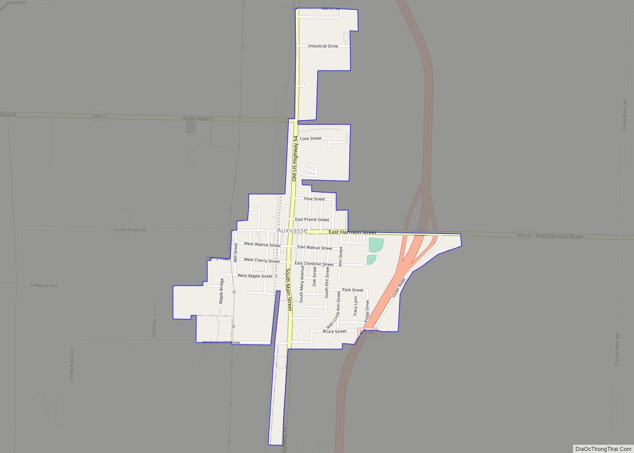
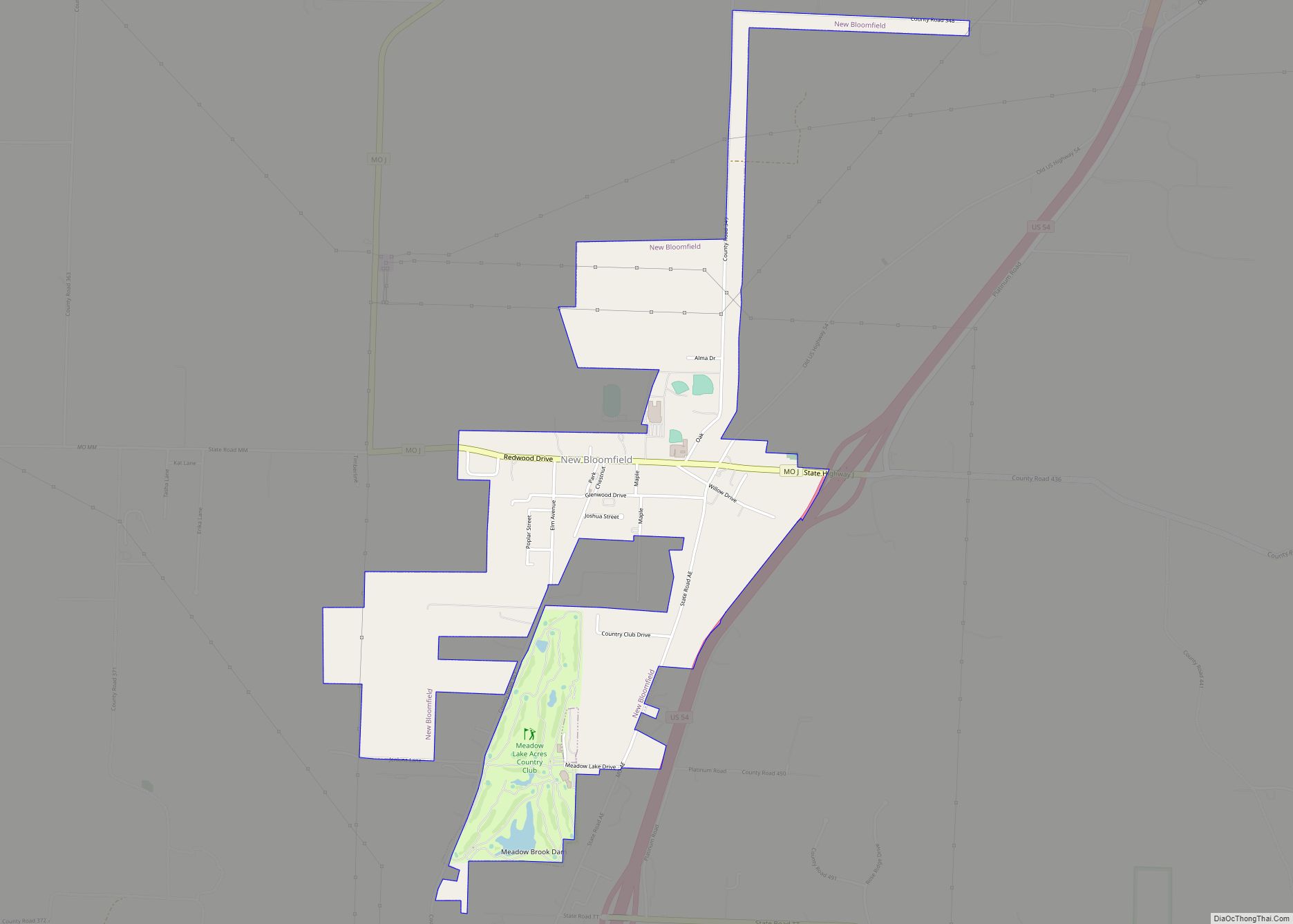
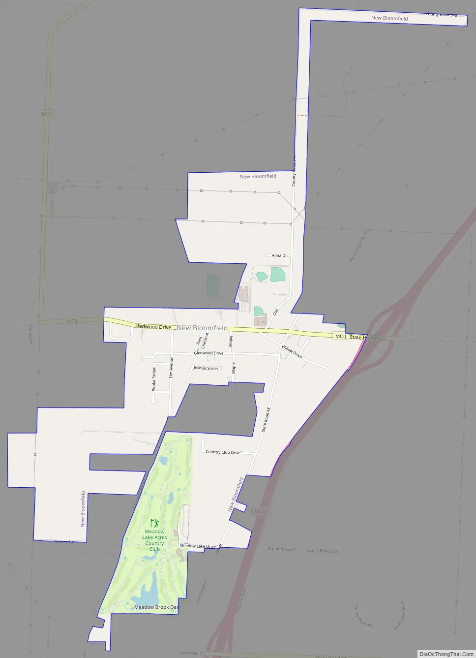
New Bloomfield Road Map
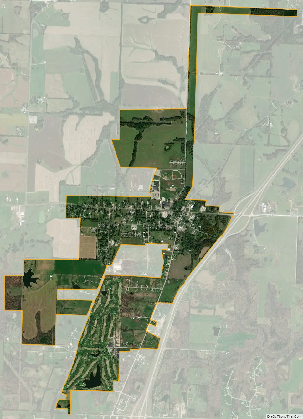
New Bloomfield city Satellite Map
Geography
New Bloomfield is located along U.S. Route 54. Town Creek flows past the east side of the city and Hillers Creek is about two miles to the east.
According to the United States Census Bureau, the city has a total area of 1.56 square miles (4.04 km), of which 1.53 square miles (3.96 km) is land and 0.03 square miles (0.08 km) is water.
See also
Map of Missouri State and its subdivision:- Adair
- Andrew
- Atchison
- Audrain
- Barry
- Barton
- Bates
- Benton
- Bollinger
- Boone
- Buchanan
- Butler
- Caldwell
- Callaway
- Camden
- Cape Girardeau
- Carroll
- Carter
- Cass
- Cedar
- Chariton
- Christian
- Clark
- Clay
- Clinton
- Cole
- Cooper
- Crawford
- Dade
- Dallas
- Daviess
- De Kalb
- Dent
- Douglas
- Dunklin
- Franklin
- Gasconade
- Gentry
- Greene
- Grundy
- Harrison
- Henry
- Hickory
- Holt
- Howard
- Howell
- Iron
- Jackson
- Jasper
- Jefferson
- Johnson
- Knox
- Laclede
- Lafayette
- Lawrence
- Lewis
- Lincoln
- Linn
- Livingston
- Macon
- Madison
- Maries
- Marion
- McDonald
- Mercer
- Miller
- Mississippi
- Moniteau
- Monroe
- Montgomery
- Morgan
- New Madrid
- Newton
- Nodaway
- Oregon
- Osage
- Ozark
- Pemiscot
- Perry
- Pettis
- Phelps
- Pike
- Platte
- Polk
- Pulaski
- Putnam
- Ralls
- Randolph
- Ray
- Reynolds
- Ripley
- Saint Charles
- Saint Clair
- Saint Francois
- Saint Louis
- Sainte Genevieve
- Saline
- Schuyler
- Scotland
- Scott
- Shannon
- Shelby
- Stoddard
- Stone
- Sullivan
- Taney
- Texas
- Vernon
- Warren
- Washington
- Wayne
- Webster
- Worth
- Wright
- Alabama
- Alaska
- Arizona
- Arkansas
- California
- Colorado
- Connecticut
- Delaware
- District of Columbia
- Florida
- Georgia
- Hawaii
- Idaho
- Illinois
- Indiana
- Iowa
- Kansas
- Kentucky
- Louisiana
- Maine
- Maryland
- Massachusetts
- Michigan
- Minnesota
- Mississippi
- Missouri
- Montana
- Nebraska
- Nevada
- New Hampshire
- New Jersey
- New Mexico
- New York
- North Carolina
- North Dakota
- Ohio
- Oklahoma
- Oregon
- Pennsylvania
- Rhode Island
- South Carolina
- South Dakota
- Tennessee
- Texas
- Utah
- Vermont
- Virginia
- Washington
- West Virginia
- Wisconsin
- Wyoming